Aller Grove
Wood, Forest in Devon East Devon
England
Aller Grove
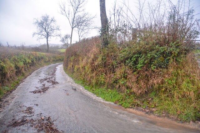
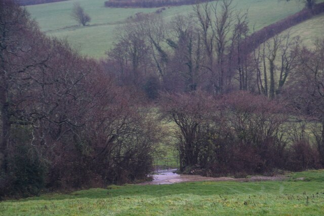
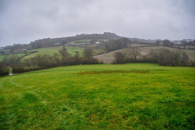
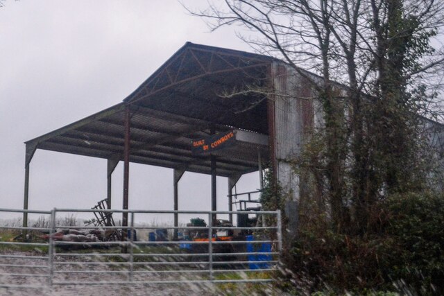
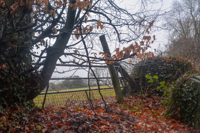
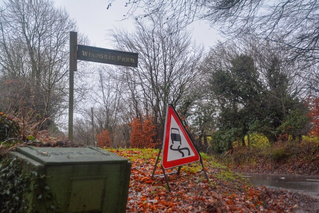
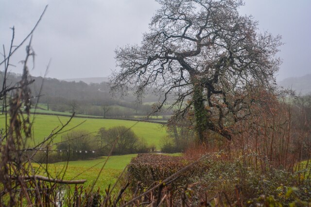
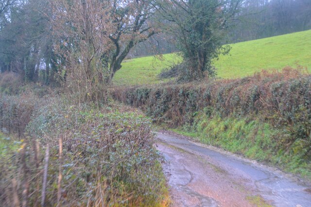
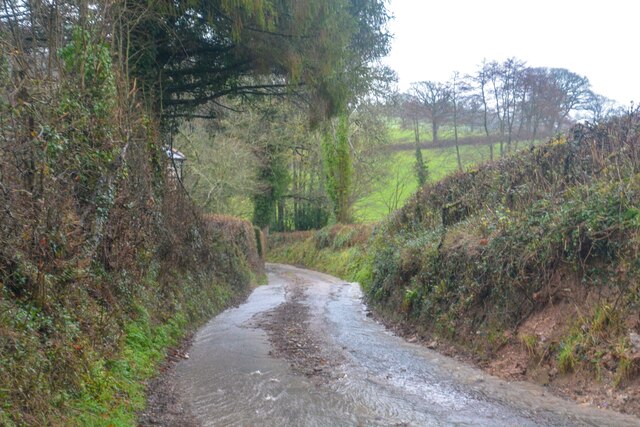
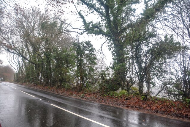
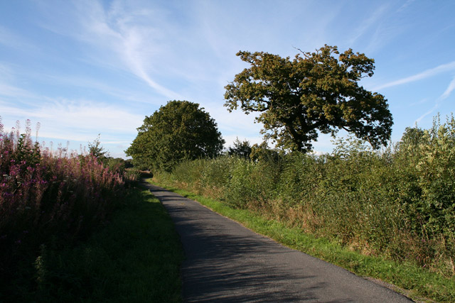
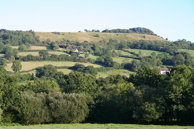
Aller Grove, located in Devon, is a picturesque woodland area surrounded by natural beauty. Situated near the village of Aller, it offers a serene escape from the bustling city life. The grove is known for its thriving forest, consisting of a variety of trees, plants, and wildlife.
Covering an area of approximately 100 acres, Aller Grove boasts an impressive collection of native and exotic tree species. Visitors can wander through the well-maintained trails, immersing themselves in the tranquil ambiance of the woods. The forest is predominantly composed of oak, beech, and ash trees, providing a lush canopy that filters sunlight and creates a cool, shaded atmosphere.
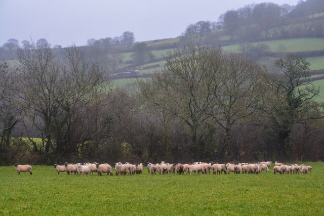
Wildlife enthusiasts will delight in the diverse animal inhabitants of Aller Grove. The woodland provides a habitat for numerous bird species, including woodpeckers, thrushes, and owls. Squirrels are a common sight, gracefully leaping between branches, while rabbits and deer can occasionally be spotted grazing in the undergrowth. The grove's ecosystem supports a variety of insects and small mammals, making it a haven for nature lovers.
Aller Grove is not only a haven for wildlife but also a popular destination for outdoor activities. The well-maintained trails are perfect for hiking and walking, allowing visitors to fully appreciate the natural surroundings. The grove also offers designated picnic areas, inviting families and friends to enjoy a leisurely day amidst nature's beauty.
Overall, Aller Grove in Devon is an enchanting woodland retreat, offering a peaceful and immersive experience for nature enthusiasts and outdoor adventurers alike.
If you have any feedback on the listing, please let us know in the comments section below.
Aller Grove Images
Images are sourced within 2km of 50.824984/-3.2072726 or Grid Reference ST1503. Thanks to Geograph Open Source API. All images are credited.

Aller Grove is located at Grid Ref: ST1503 (Lat: 50.824984, Lng: -3.2072726)
Administrative County: Devon
District: East Devon
Police Authority: Devon and Cornwall
What 3 Words
///haven.gaps.most. Near Honiton, Devon
Nearby Locations
Related Wikis

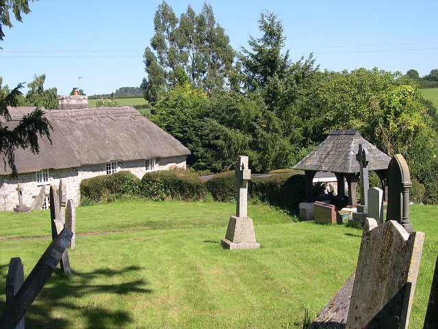
Combe Raleigh
Combe Raleigh () is a village and civil parish in the county of Devon, England. The village lies about 1.5 miles north of the town of Honiton, and the parish is surrounded, clockwise from the north, by the parishes of Luppitt, Honiton, Awliscombe and Dunkeswell.The word 'Combe' is of Celtic origin meaning 'valley' (the same as cwm) whilst the name 'Raleigh' comes from the Raleigh family's ownership of the village in the thirteenth century. The 15th-century parish church (St.

Awliscombe
Awliscombe is a village and civil parish in the East Devon district of Devon, England. The village is about two miles west of Honiton. The 2011 census showed a population of 500 for the parish, which is surrounded clockwise from the north by the parishes of Dunkeswell, Combe Raleigh, Honiton, Gittisham, Buckerell, Payhembury and Broadhembury.In the centre of the village is the church of St Michael & All Angels and Awliscombe C of E Primary School.The village has been described as having "a fine show of medieval stonework", and the church screen as being "one of the splendid survivals of the best craftsmanship of medieval Devon".
Wolford Chapel
Wolford Chapel in Devon, England, is the burial place of John Graves Simcoe, the first lieutenant governor of Upper Canada. It is the territory of the Canadian province of Ontario, and flies the Flag of Canada despite being in the English countryside. The chapel was part of the Simcoe Estate at Dunkeswell, near Honiton, Devon, in South West England and was built on John Graves Simcoe's commission in 1802.
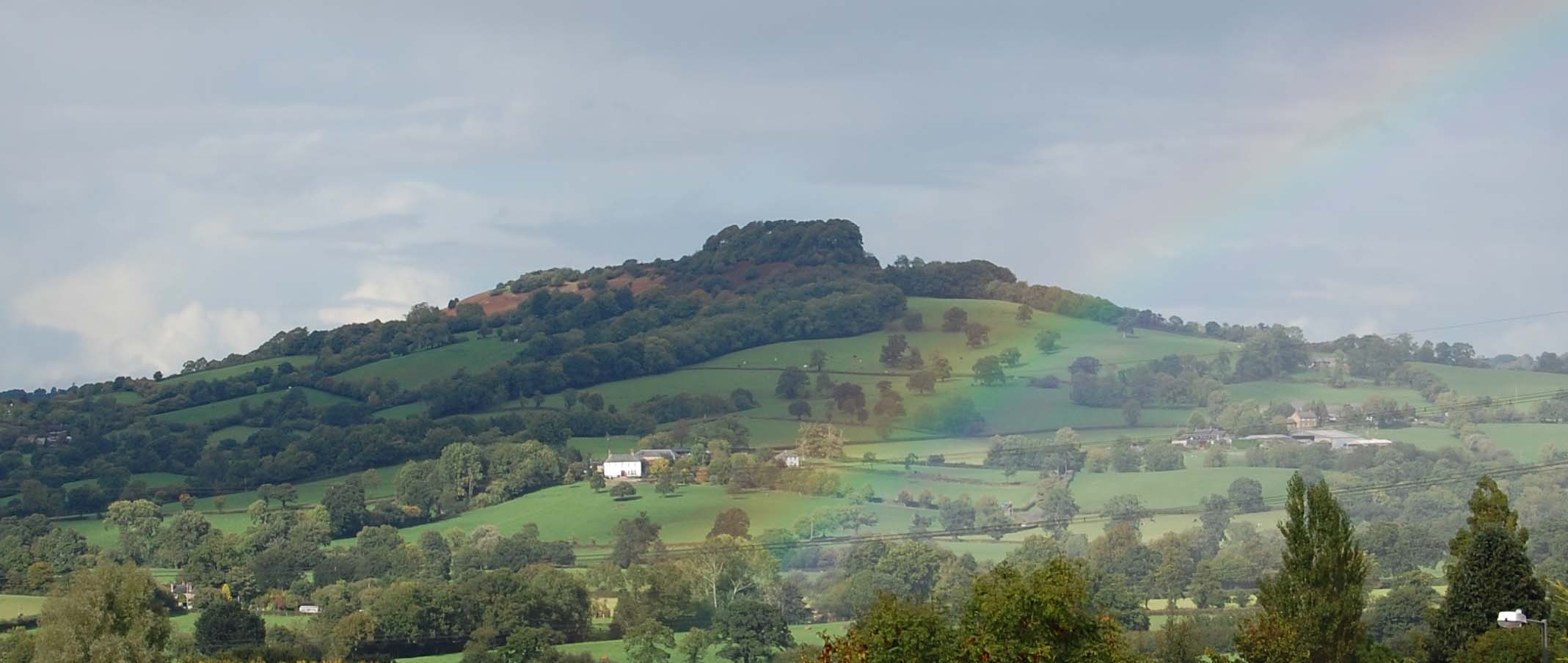
Dumpdon Hill
Dumpdon Hill is an Iron Age Hill Fort near Honiton in Devon. Somewhat overshadowed by its better known neighbour Hembury Fort it is nonetheless as impressive an earthwork.Situated above the valley of the River Otter, it is one of the largest, and most distinct hills in the area due to a large clump of beech trees situated at its summit. The top of Dumpdon is owned and maintained by the National Trust and is 250 metres (800 ft) above sea level.

Honiton Community College
Honiton Community College is a comprehensive academy school located in Honiton, Devon, England. It was originally established as Honiton Secondary School in 1938, and converted to an academy in 2011. The school educates around 735 students, of whom 95 are in age 16-19 study programmes, and employs 124 staff.

Honiton Town F.C.
Honiton Town Football Club is a football club based in Honiton, Devon, England. They are currently members of the South West Peninsula League Premier Division East and play at Mountbatten Park. == History == Honiton Town were members of the Devon & Exeter League during the 1980s and 1990s, until withdrawing in 1997–98.On rejoining the league, they stayed in the lower divisions until they won Division One in 2014–15.
Honiton
Honiton () is a market town and civil parish in East Devon, situated close to the River Otter, 17 miles (27 km) north east of Exeter in the county of Devon. Honiton has a population estimated at 11,822 (based on mid-year estimates for the two Honiton Wards in 2009). == History == The town grew along the line of the Fosse Way, the ancient Roman road linking Exeter (Isca Dumnoniorum) to Lincoln (Lindum).

Honiton railway station
Honiton railway station serves the town of Honiton in east Devon, England. It is operated by South Western Railway and is 154 miles 60 chains (249.0 km) down the line from London Waterloo, on the West of England Line. == History == The station was opened by the LSWR on 19 July 1860, along with its Exeter Extension from Yeovil Junction to Exeter Queen Street.
Nearby Amenities
Located within 500m of 50.824984,-3.2072726Have you been to Aller Grove?
Leave your review of Aller Grove below (or comments, questions and feedback).