Big Wood

Wood, Forest in Cumberland Allerdale

England

Big Wood

The Towers, Cockermouth 19th Century house, divided into two apartments.
The Towers, Cockermouth Credit: Oliver Dixon

Big Wood, Cumberland, also known as Big Wood Forest, is a magnificent natural area located in the county of Cumberland, England. Spanning over a vast area of approximately 1,500 hectares, this forest is a significant part of the region's natural heritage and is renowned for its breathtaking beauty and diverse ecosystem.

The forest is primarily composed of dense woodlands consisting of a variety of tree species, including oak, birch, beech, and pine. The towering trees create a picturesque landscape, providing shelter to numerous wildlife species. It is not uncommon to spot deer, foxes, badgers, and a wide variety of bird species in this enchanting forest.

Big Wood offers an extensive network of walking trails and paths that allow visitors to explore and immerse themselves in the tranquility of nature. These well-maintained routes cater to all levels of fitness and offer breathtaking views of the surrounding countryside.

In addition to its natural beauty, Big Wood also holds historical significance. It was once a hunting ground for the English nobility and retains remnants of ancient structures and artifacts, adding to its intrigue and allure.

The forest is managed by the local authorities, who ensure its preservation and conservation. They actively engage in sustainable woodland management practices, maintaining a delicate balance between preserving the natural environment and providing recreational opportunities for visitors.

Big Wood, Cumberland, is an exceptional destination for nature lovers, offering a serene and immersive experience in the heart of the English countryside.

If you have any feedback on the listing, please let us know in the comments section below.
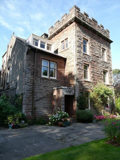
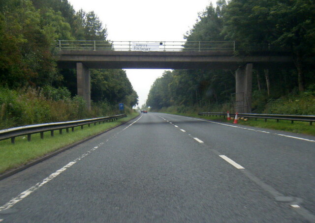
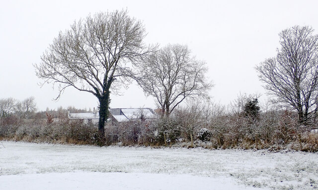
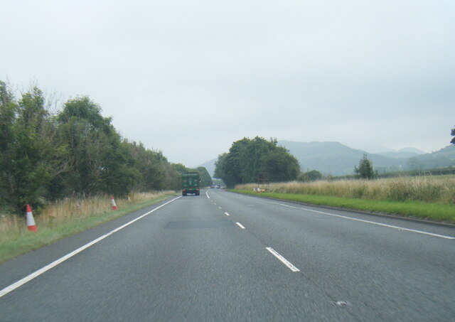
Big Wood Images

Images are sourced within 2km of 54.650614/-3.3332407 or Grid Reference NY1429. Thanks to Geograph Open Source API. All images are credited.

The Towers, Cockermouth 19th Century house, divided into two apartments.
The Towers, Cockermouth
19th Century house, divided into two apartments.
A66 at Simonscales Lane overbridge
A66 eastbound near Grayson Side
A66 at Strawberry How Road overbridge
Southwaite Green beyond hedge The River Cocker flows nearby and is crossed by Southwaite Bridge. Several nearby properties use the Southwaite name including the one in the image.
Southwaite Green beyond hedge
The River Cocker flows nearby and is crossed by Southwaite Bridge. Several nearby properties use the Southwaite name including the one in the image.
Walking a snow-covered road The individual is walking west along a road south of Cockermouth. Light snow began to fall in the morning following the passing overnight of Storm Arwen, and was still falling as the image was made.
Walking a snow-covered road
The individual is walking west along a road south of Cockermouth. Light snow began to fall in the morning following the passing overnight of Storm Arwen, and was still falling as the image was made.
Hedge and trees at The Old Homestead A 'red sky in the morning' seen from The Old Homestead which is a large barn conversion at Byerstead, in use as holiday accommodation.
Hedge and trees at The Old Homestead
A 'red sky in the morning' seen from The Old Homestead which is a large barn conversion at Byerstead, in use as holiday accommodation.
Walking party passing Hundith Hill Hotel The party is walking along Hundith Hill Road having just passed the Hotel and also Hundith Hill Farm. Snow was falling and accumulating on frozen surfaces.
Walking party passing Hundith Hill Hotel
The party is walking along Hundith Hill Road having just passed the Hotel and also Hundith Hill Farm. Snow was falling and accumulating on frozen surfaces.
Direction Sign – Signpost on Lorton Road, Cockermouth Located on the southwest side of the junction of the B5292 Lorton Road and Strawberry How Road in Cockermouth parish. 1 arm and pawn finial.

Milestone Society National ID: CU_NY1229
Direction Sign – Signpost on Lorton Road, Cockermouth
Located on the southwest side of the junction of the B5292 Lorton Road and Strawberry How Road in Cockermouth parish. 1 arm and pawn finial. Milestone Society National ID: CU_NY1229
A66 near Scales Farm
High Stanger Farm On the western edge of the English Lake District
High Stanger Farm
On the western edge of the English Lake District
Crossroads in Cumbria A junction on the B5292 Cockermouth to Lorton Road.
Crossroads in Cumbria
A junction on the B5292 Cockermouth to Lorton Road.
Byerstead Byerstead is a complex of buildings south-east of Cockermouth, presumably once a single farm but now possibly with divided ownership. There's at least one house, holiday accommodation and barns. It's seen from a narrow public road to the south.
Byerstead
Byerstead is a complex of buildings south-east of Cockermouth, presumably once a single farm but now possibly with divided ownership. There's at least one house, holiday accommodation and barns. It's seen from a narrow public road to the south.
Sheep at Harrot Hill Farm Sheep being brought down to Harrot Hill Farm which is behind the camera position.
Sheep at Harrot Hill Farm
Sheep being brought down to Harrot Hill Farm which is behind the camera position.
B5292 heading towards Armaside How Armaside How is a minor feature in the landscape; it's surely in view in the image, probably being the flat, darker green area to the right of the central tree.
B5292 heading towards Armaside How
Armaside How is a minor feature in the landscape; it's surely in view in the image, probably being the flat, darker green area to the right of the central tree.
Direction Sign – Signpost Located on the northeast side of crossroads on the B5292 at Roundclose Hill in Embleton parish. 4 arms and pawn finial. 

Milestone Society National ID: CU_NY1328
Direction Sign – Signpost
Located on the northeast side of crossroads on the B5292 at Roundclose Hill in Embleton parish. 4 arms and pawn finial. Milestone Society National ID: CU_NY1328
Cockermouth Cemetery, Cumbria The chapels at the main entrance to Cockermouth Cemetery
Cockermouth Cemetery, Cumbria
The chapels at the main entrance to Cockermouth Cemetery
Cockermouth Cemetery Snowdrops and crocuses carpet the ground in Cockermouth Cemetery.
Cockermouth Cemetery
Snowdrops and crocuses carpet the ground in Cockermouth Cemetery.
Show me another place!

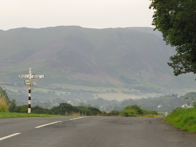
Big Wood is located at Grid Ref: NY1429 (Lat: 54.650614, Lng: -3.3332407)

Administrative County: Cumbria

District: Allerdale

Police Authority: Cumbria

What 3 Words

///nickname.situates.startles. Near Cockermouth, Cumbria

Nearby Locations

Big Wood

Related Wikis

Slate Fell

Slate Fell is a low hill in the North Western part of the English Lake District. It lies only about a mile from the busy market town of Cockermouth, and...

Armaside

Armaside is an agricultural village in Cumbria, England, situated north of Low Lorton, south west of the River Cocker, and south east from Cockermouth...
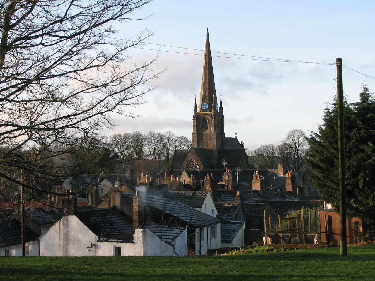
Cockermouth

Cockermouth is a market town and civil parish in the Cumberland unitary area of Cumbria, England, so named because it is at the confluence of the River...

Cockermouth School

Cockermouth School is a coeducational secondary school and sixth form located in Cockermouth in the English county of Cumbria.Previously a community school...

Nearby Amenities

Located within 500m of 54.650614,-3.3332407
Hundith Hill Hotel
Naptan AtcoCode: 090002270077
Naptan Bearing: S
Naptan BusStopType: CUS
Naptan CommonName: Hundith Hill Hotel
Naptan Indicator: o/s
Naptan Landmark: hotel entrance
Naptan NaptanCode: cumadtga
Naptan Street: No name
Naptan Verified: no
Source: naptan_import
Lat/Long: 54.6476328/-3.3316718
Power: pole
Lat/Long: 54.6510188/-3.3400731
Power: pole
Lat/Long: 54.6515752/-3.3384959
Power: pole
Lat/Long: 54.6520516/-3.3370811
Power: pole
Lat/Long: 54.6531603/-3.3339831
Power: pole
Lat/Long: 54.6536359/-3.332516
Power: pole
Lat/Long: 54.6533581/-3.330971
Power: pole
Lat/Long: 54.6531137/-3.3295374
Power: pole
Lat/Long: 54.6528274/-3.3278824
Power: pole
Lat/Long: 54.6525388/-3.3262423
Power: pole
Lat/Long: 54.6496536/-3.3270686
Power: pole
Lat/Long: 54.6504975/-3.3282434
Power: pole
Lat/Long: 54.651319/-3.327496
Power: pole
Lat/Long: 54.651619/-3.3260719
Power: pole
Lat/Long: 54.6518569/-3.3257965
Power: pole
Lat/Long: 54.6478968/-3.3325196
Power: pole
Lat/Long: 54.6485824/-3.3336236
Power: pole
Lat/Long: 54.6490348/-3.3343427
Power: pole
Lat/Long: 54.6496267/-3.335315
Power: pole
Lat/Long: 54.6502367/-3.3362991
Power: pole
Lat/Long: 54.6509451/-3.3374419
Power: pole
Lat/Long: 54.6496935/-3.3379727
Power: pole
Lat/Long: 54.6491626/-3.3396317
The data included in this document is from www.openstreetmap.org. The data is made available under ODbL.

Have you been to Big Wood?

Leave your review of Big Wood below (or comments, questions and feedback).