Clement Street

Settlement in Kent Dartford

England

Clement Street

Road junction, Swanley Village Junction of School Lane with Highlands Hill and Swanley Village Road.  For close up of village sign, see <a href="https://www.geograph.org.uk/photo/2396837">TQ5269 : Swanley Village village sign</a> and for close up of the direction sign to the church, just visible to the left of the house, see <a href="https://www.geograph.org.uk/photo/2396829">TQ5269 : Sign to St Paul's Church</a>.
Road junction, Swanley Village Credit: Ian Capper

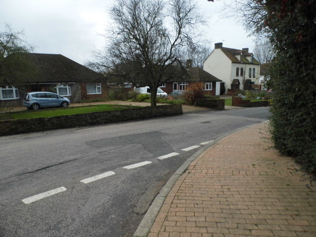
Clement Street is a charming residential street located in the town of Kent, England. Situated in a quiet and peaceful neighborhood, this picturesque street is known for its quaint houses and friendly atmosphere.

Lined with beautiful trees and well-manicured gardens, Clement Street offers a pleasant and scenic environment for its residents. The houses on this street vary in architectural styles, ranging from traditional Victorian and Edwardian homes to more modern designs. Many of these properties have been well-maintained, preserving their original charm and character.

The street itself is well-paved and wide enough to accommodate both pedestrian and vehicular traffic comfortably. It is also equipped with street lamps, ensuring a safe and well-lit environment during the evening hours.

Clement Street benefits from its proximity to various amenities and services. Within walking distance, residents can find convenience stores, cafes, and local restaurants, providing them with easy access to daily necessities and dining options. Additionally, the street is well-connected to the wider area through public transportation, with bus stops located nearby for convenient commuting.

The community on Clement Street is known for its friendly and welcoming nature, fostering a strong sense of camaraderie among neighbors. This creates a warm and inclusive atmosphere, where residents often engage in social gatherings and events.

Overall, Clement Street in Kent offers a tranquil and appealing setting for residents looking for a peaceful and vibrant place to call home.

If you have any feedback on the listing, please let us know in the comments section below.

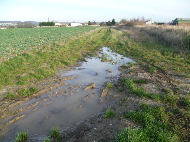
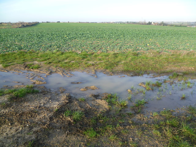
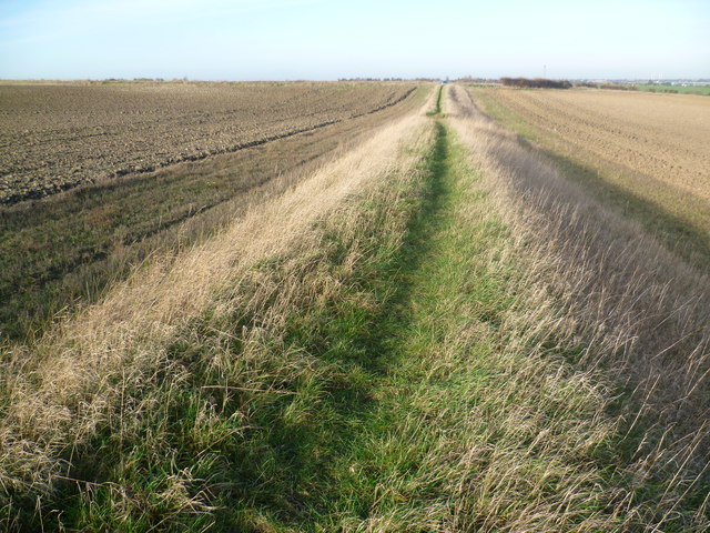
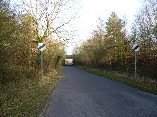
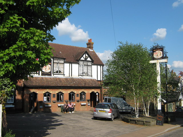
Clement Street Images

Images are sourced within 2km of 51.413701/0.21428 or Grid Reference TQ5470. Thanks to Geograph Open Source API. All images are credited.

Road junction, Swanley Village Junction of School Lane with Highlands Hill and Swanley Village Road.  For close up of village sign, see <a href="https://www.geograph.org.uk/photo/2396837">TQ5269 : Swanley Village village sign</a> and for close up of the direction sign to the church, just visible to the left of the house, see <a href="https://www.geograph.org.uk/photo/2396829">TQ5269 : Sign to St Paul's Church</a>.
Road junction, Swanley Village
Junction of School Lane with Highlands Hill and Swanley Village Road. For close up of village sign, see TQ5269 : Swanley Village village sign and for close up of the direction sign to the church, just visible to the left of the house, see TQ5269 : Sign to St Paul's Church.
Sign to St Paul's Church For context see <a href="https://www.geograph.org.uk/photo/2396825">TQ5269 : Road junction, Swanley Village</a>.
Sign to St Paul's Church
Swanley Village village sign For context see <a href="https://www.geograph.org.uk/photo/2396825">TQ5269 : Road junction, Swanley Village</a>.
Swanley Village village sign
The M25 southbound The M25 is a 117 mile orbital motorway that encircles London. It was constructed between 1975 and 1986.
The motorway is not a continuous loop as a section to the East of London at The Dartford Crossing is an A-Road.
Wikipedia; <span class="nowrap"><a title="http://en.wikipedia.org/wiki/M25_motorway" rel="nofollow ugc noopener" href="http://en.wikipedia.org/wiki/M25_motorway">Link</a><img style="margin-left:2px;" alt="External link" title="External link - shift click to open in new window" src="https://s1.geograph.org.uk/img/external.png" width="10" height="10"/></span>
The M25 southbound
The M25 is a 117 mile orbital motorway that encircles London. It was constructed between 1975 and 1986. The motorway is not a continuous loop as a section to the East of London at The Dartford Crossing is an A-Road. Wikipedia; LinkExternal link
Sutton at Hone from Ship Lane Ship Lane is to the right of the bank as it reaches the outskirts of Sutton at Hone. Homefield Farm is to the right and the green shed is Homefield Garage. The hill on the horizon to the left is Badger's Mount on the other side of the Darent Valley.
Sutton at Hone from Ship Lane
Ship Lane is to the right of the bank as it reaches the outskirts of Sutton at Hone. Homefield Farm is to the right and the green shed is Homefield Garage. The hill on the horizon to the left is Badger's Mount on the other side of the Darent Valley.
View from Ship Lane, Sutton at Hone Ship Lane runs from Sutton at Hone to Swanley. This view is just outside the former. The chimney which can just be made out on the horizon to the right is Littlebrook Power Station - see <a title="https://www.geograph.org.uk/photo/2552306" href="https://www.geograph.org.uk/photo/2552306">Link</a>
View from Ship Lane, Sutton at Hone
Ship Lane runs from Sutton at Hone to Swanley. This view is just outside the former. The chimney which can just be made out on the horizon to the right is Littlebrook Power Station - see Link
Railway line between Farningham Road and Swanley A footpath leads from Ship Lane between fields, up an embankment and across the railway line between Farningham Road and Swanley. This view is towards Swanley. The line dates from 1860 and it was electrified in 1939. Until the opening of St Pancras International in 2007, Eurostars ran along this line.
Railway line between Farningham Road and Swanley
A footpath leads from Ship Lane between fields, up an embankment and across the railway line between Farningham Road and Swanley. This view is towards Swanley. The line dates from 1860 and it was electrified in 1939. Until the opening of St Pancras International in 2007, Eurostars ran along this line.
Railway line between Swanley and Farningham Road A footpath leads from Ship Lane between fields, up an embankment and across the railway line between Farningham Road and Swanley. This view is towards Farningham Road and the bridge ahead is a farm access track. The line dates from 1860 and it was electrified in 1939. Until the opening of St Pancras International in 2007, Eurostars ran along this line.
Railway line between Swanley and Farningham Road
A footpath leads from Ship Lane between fields, up an embankment and across the railway line between Farningham Road and Swanley. This view is towards Farningham Road and the bridge ahead is a farm access track. The line dates from 1860 and it was electrified in 1939. Until the opening of St Pancras International in 2007, Eurostars ran along this line.
Footpath towards Ship Lane A footpath leads from Ship Lane between fields, up an embankment and across the railway line between Farningham Road and Swanley. This view is from the foot of the embankment back towards Ship Lane.
Footpath towards Ship Lane
A footpath leads from Ship Lane between fields, up an embankment and across the railway line between Farningham Road and Swanley. This view is from the foot of the embankment back towards Ship Lane.
Old College, Swanley Located along Swanley Village Road, Old College relates to Swanley Horticultural College which opened in 1887. The college originally only catered for male students, but in the early 1890s the first female students were admitted. The college later relocated to Wye College near Ashford.
Old College, Swanley
Located along Swanley Village Road, Old College relates to Swanley Horticultural College which opened in 1887. The college originally only catered for male students, but in the early 1890s the first female students were admitted. The college later relocated to Wye College near Ashford.
Ship Lane, Swanley passing under the M25 Ship Lane leads from Swanley Village to Sutton at Hone. This is looking towards the latter. The bridge just ahead carries the M25 overhead.
Ship Lane, Swanley passing under the M25
Ship Lane leads from Swanley Village to Sutton at Hone. This is looking towards the latter. The bridge just ahead carries the M25 overhead.
Prospect Row, Swanley Village Prospect Row is located on Swanley Village Road near the junction with School Lane. It is difficult to determine its age although I suspect it is older than it looks.
Prospect Row, Swanley Village
Prospect Row is located on Swanley Village Road near the junction with School Lane. It is difficult to determine its age although I suspect it is older than it looks.
Swanley Village sign The Swanley Village sign is at the junction of School Lane with Swanley Village Road and Highlands Hill. This was the original Swanley until the arrival of the railway in 1861. The newer settlement grew up around the railway junction and was originally named Swanley Junction, before it became Swanley, and the original Swanley became Swanley Village, in the 1920s.
Swanley Village sign
The Swanley Village sign is at the junction of School Lane with Swanley Village Road and Highlands Hill. This was the original Swanley until the arrival of the railway in 1861. The newer settlement grew up around the railway junction and was originally named Swanley Junction, before it became Swanley, and the original Swanley became Swanley Village, in the 1920s.
Laburnum House, Swanley Village Located on Swanley Village Road, the nearest house is called Laburnum House. This was the original Swanley until the arrival of the railway in 1861. The newer settlement grew up around the railway junction and was originally named Swanley Junction, before it became Swanley, and the original Swanley became Swanley Village, in the 1920s.
Laburnum House, Swanley Village
Located on Swanley Village Road, the nearest house is called Laburnum House. This was the original Swanley until the arrival of the railway in 1861. The newer settlement grew up around the railway junction and was originally named Swanley Junction, before it became Swanley, and the original Swanley became Swanley Village, in the 1920s.
Approaching junction 3, M25
View along the line from Farningham Road station In July 1858 the East Kent Railway extended its line from Strood to Bromley. Farningham Road station was opened in December 1860. This view is from the end of the up platform looking towards Swanley. The underlying chalk can be seen in the cutting on the right. Until the opening of St Pancras International in 2007, Eurostars ran along this line.
View along the line from Farningham Road station
In July 1858 the East Kent Railway extended its line from Strood to Bromley. Farningham Road station was opened in December 1860. This view is from the end of the up platform looking towards Swanley. The underlying chalk can be seen in the cutting on the right. Until the opening of St Pancras International in 2007, Eurostars ran along this line.
School Lane at the junction of Highlands Hill, Swanley Village
Highlands Road at the junction of School Lane
Show me another place!

Clement Street is located at Grid Ref: TQ5470 (Lat: 51.413701, Lng: 0.21428)

Administrative County: Kent

District: Dartford

Police Authority: Kent

What 3 Words

///talked.relay.pushed. Near Horton Kirby, Kent

Related Wikis

Hawley, Kent

Hawley is a village in the civil parish of Sutton-at-Hone and Hawley in the Borough of Dartford, Kent, England. It is located 3 miles south of Dartford...

Sutton Athletic F.C.

Sutton Athletic F.C. is an English football club in Sutton-at-Hone, near Dartford in Kent. The club plays in the Southern Counties East League Premier...

F.C. Elmstead

F.C. Elmstead is a semi-professional football club based in Elmstead, London, England. They are currently members of the Southern Counties East League...

Sutton-at-Hone and Hawley

Sutton-at-Hone and Hawley is a civil parish within the Borough of Dartford in Kent, England. It lies to the south of the urban part of the Borough, and...

Swanley Village

Swanley Village is a village in the Sevenoaks District of Kent, England. It is located 1 mile north east of Swanley & 4.7 miles south west of Dartford...

Sutton-at-Hone

Sutton-at-Hone is a village in the civil parish of Sutton-at-Hone and Hawley in the Borough of Dartford in Kent, England. It is located 3.5 miles south...

St John's Jerusalem

St John's Jerusalem or Sutton-at-Hone Preceptory is a National Trust property at Sutton-at-Hone, Kent, England which includes the 13th century chapel of...

Farningham Road railway station

Farningham Road railway station is on the Chatham Main Line in England, serving the villages of Farningham, Sutton-at-Hone, Horton Kirby and South Darenth...

Nearby Amenities

Located within 500m of 51.413701,0.21428
Created By: YahooApplet 1.0
Lat/Long: 51.4139264/0.2184217
Created By: YahooApplet 1.0
Lat/Long: 51.4139933/0.2190118
Created By: YahooApplet 1.0
Lat/Long: 51.4139799/0.2195804
Created By: YahooApplet 1.0
Lat/Long: 51.4139063/0.2202027
Operator: Royal Mail
Operator Wikidata: Q638098
Ref: BR8 148
Removed Amenity: post_box
Source: survey
Lat/Long: 51.4134324/0.2121267
Speed Camera
Lat/Long: 51.4119148/0.218183
Speed Camera
Lat/Long: 51.4120404/0.2180267
South Fort Stables
Addr Street: Clement Street
Leisure: horse_riding
Survey Date: 2020-06-25
Lat/Long: 51.412888/0.2177237
Robimaur Farm
Addr Housename: Robimaur Farm
Addr Street: Clement Street
Survey Date: 2020-06-25
Lat/Long: 51.4144346/0.2133905
The data included in this document is from www.openstreetmap.org. The data is made available under ODbL.

Have you been to Clement Street?

Leave your review of Clement Street below (or comments, questions and feedback).