Crabtree Dale Wood
Wood, Forest in Cumberland Copeland
England
Crabtree Dale Wood
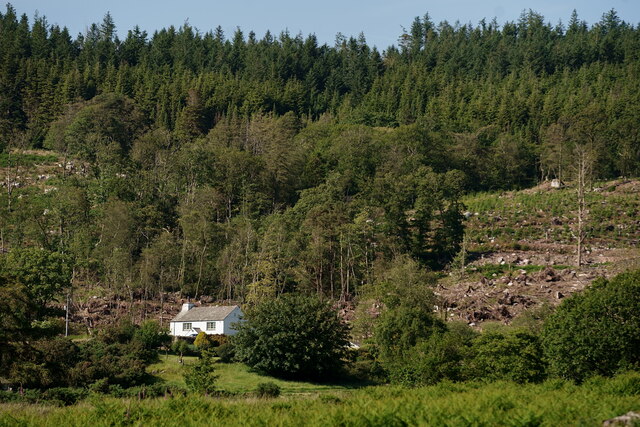
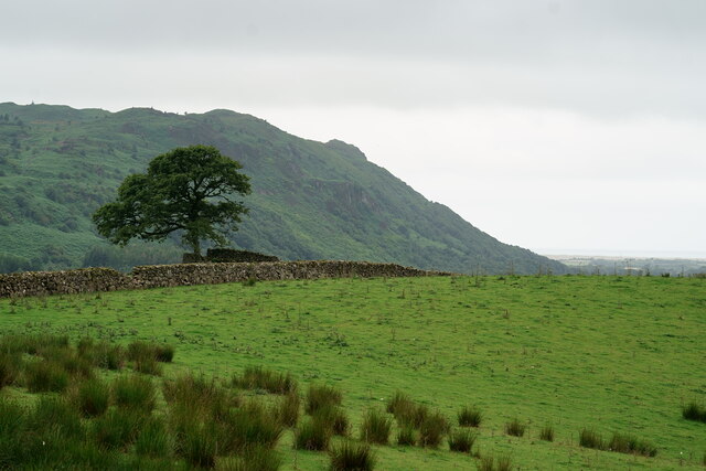
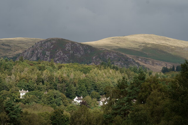
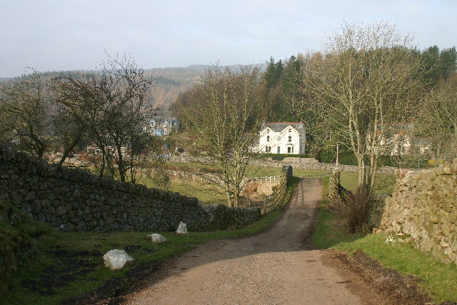
Crabtree Dale Wood, located in Cumberland, is a beautiful and serene forest area that covers a large expanse of land. It is situated in the northwestern part of England and is known for its diverse flora and fauna. The wood is a part of the larger Crabtree Dale, which is home to a variety of wildlife and provides a natural habitat for numerous species.
The forest itself is characterized by dense, towering trees that create a cool and shaded environment. The predominant tree species found in Crabtree Dale Wood include oak, birch, beech, and pine, among others. These trees provide ample coverage and contribute to the overall aesthetic appeal of the wood.
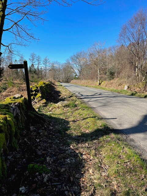
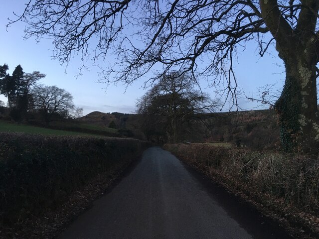
The forest is crisscrossed by several trails and footpaths, making it a popular destination for hikers, nature enthusiasts, and photographers. These paths provide visitors with the opportunity to explore the wood's hidden treasures, including picturesque streams, ancient stone walls, and moss-covered rocks.
Crabtree Dale Wood is also home to a wide range of wildlife. It serves as a haven for various bird species, such as owls, woodpeckers, and songbirds. Small mammals like squirrels, badgers, and foxes can also be spotted in the area. Additionally, the forest supports a diverse insect population, including butterflies, beetles, and dragonflies.
The wood is managed by local authorities to ensure its preservation and conservation. Efforts are made to maintain the natural balance of the ecosystem and protect the delicate habitats within the forest. Visitors are encouraged to respect the wood's rules and regulations, such as not littering and refraining from disturbing the wildlife.
In summary, Crabtree Dale Wood in Cumberland is a captivating forest, rich in biodiversity and natural beauty. Its tranquil ambiance and diverse range of flora and fauna make it an ideal destination for nature lovers seeking a peaceful retreat in the heart of England.
If you have any feedback on the listing, please let us know in the comments section below.
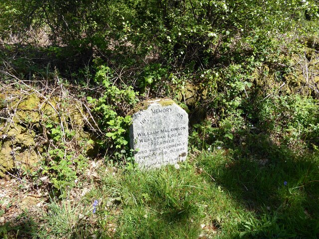
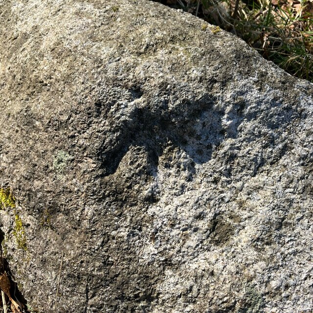
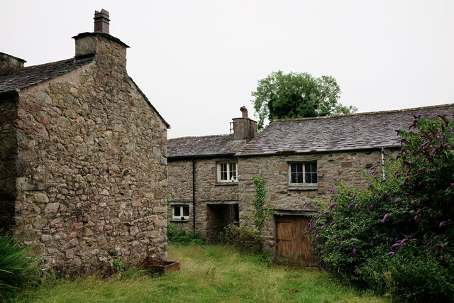
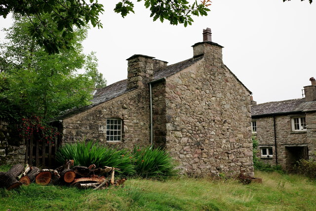
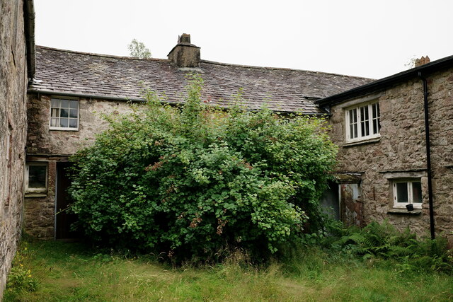
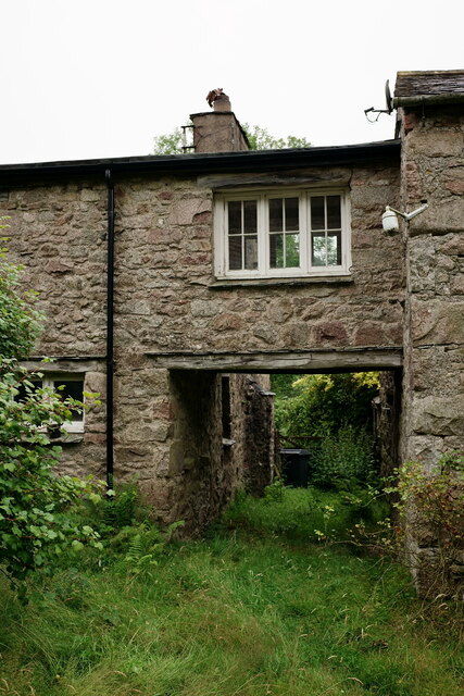
Crabtree Dale Wood Images
Images are sourced within 2km of 54.394448/-3.334037 or Grid Reference NY1300. Thanks to Geograph Open Source API. All images are credited.


Crabtree Dale Wood is located at Grid Ref: NY1300 (Lat: 54.394448, Lng: -3.334037)
Administrative County: Cumbria
District: Copeland
Police Authority: Cumbria
What 3 Words
///skipped.scanning.bypasses. Near Seascale, Cumbria
Nearby Locations
Related Wikis
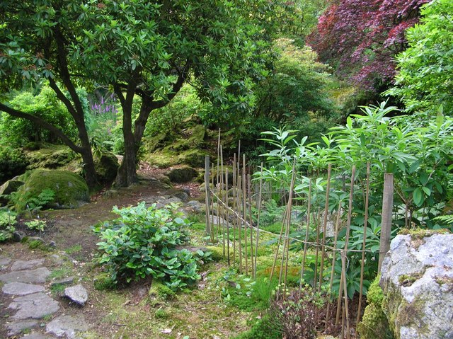
Giggle Alley
Giggle Alley is a woodland in Eskdale Green, Cumbria, England. It was formerly part of the Gate House estate. The wood includes the ruins of a Japanese...

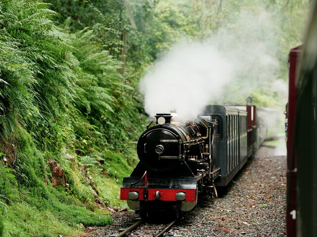
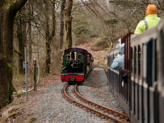
Irton Road railway station
Irton Road railway station is a railway station on the 15 in gauge Ravenglass & Eskdale Railway in the Lake District National Park and the English county...
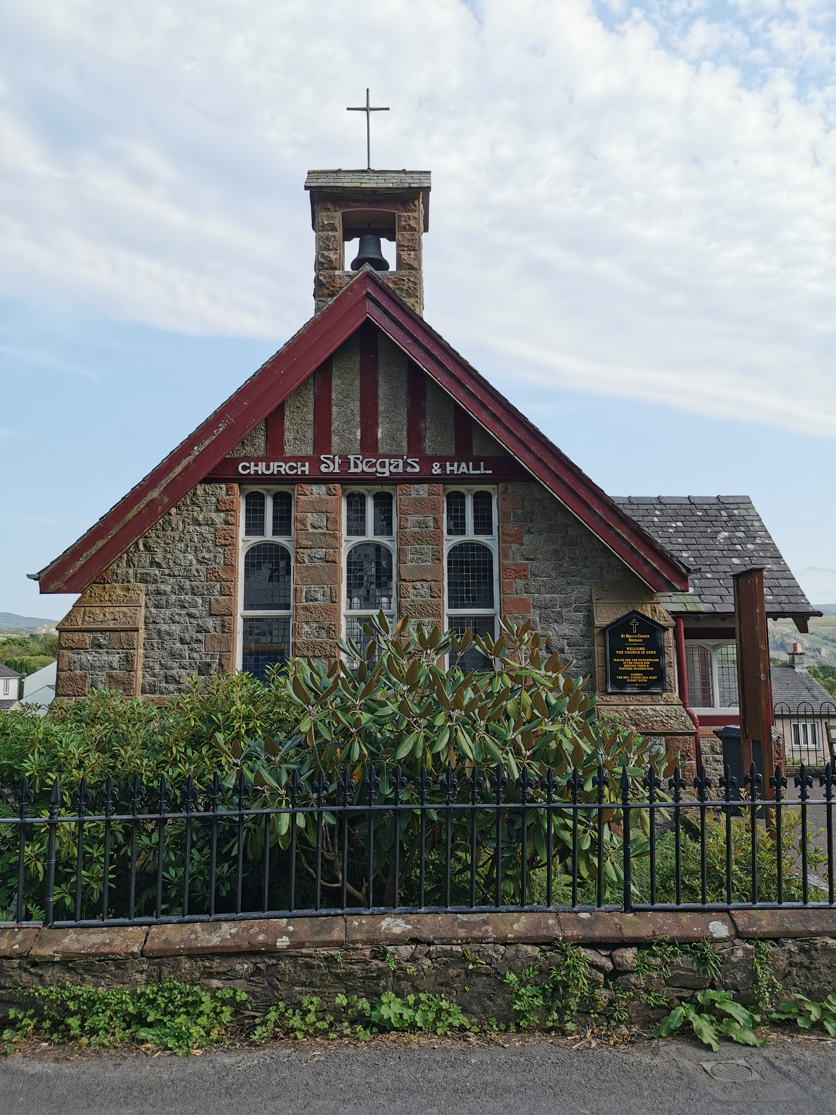
St Bega, Eskdale
St Bega is in Eskdale, Cumbria, England. It is an active Anglican parish church in the deanery of Calder, and the diocese of Carlisle. Its benefice is...
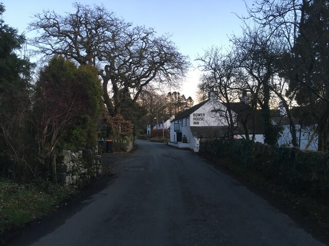
Eskdale Green
Eskdale Green is a village in Cumbria, England, 10 miles west of Coniston. Historically in Cumberland, it lies off the A595 road and is one of the few...

Gate House, Eskdale Green
Gate House or Gatehouse is a country house in Eskdale Green, Cumbria, England. The house became a Grade II listed building on 8 September 1967.Built in...
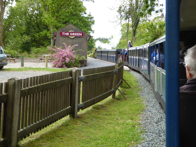
The Green railway station
The Green is a railway station on the 15-inch gauge Ravenglass & Eskdale Railway in the Lake District National Park and the English county of Cumbria....

Irton Pike
Irton Pike is a hill in the west of the English Lake District, near Santon Bridge, Cumbria. It is the subject of a chapter of Alfred Wainwright's book...

Fisherground railway station
Fisherground railway station, also known as Fisherground Halt, is on the 15-inch (380 mm) gauge Ravenglass & Eskdale Railway in Cumbria, England. Its main...
Nearby Amenities
Located within 500m of 54.394448,-3.334037Have you been to Crabtree Dale Wood?
Leave your review of Crabtree Dale Wood below (or comments, questions and feedback).