Halsway Wood
Wood, Forest in Somerset Somerset West and Taunton
England
Halsway Wood
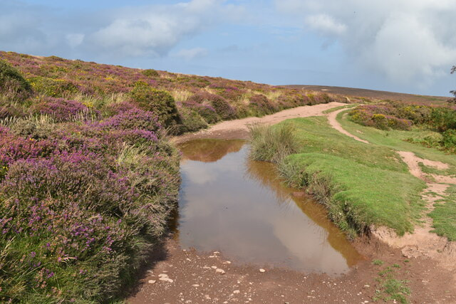
Halsway Wood is a picturesque woodland located in Somerset, England. Situated on the eastern slope of the Quantock Hills, it covers an area of approximately 88 hectares and is known for its diverse range of flora and fauna.
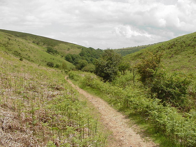
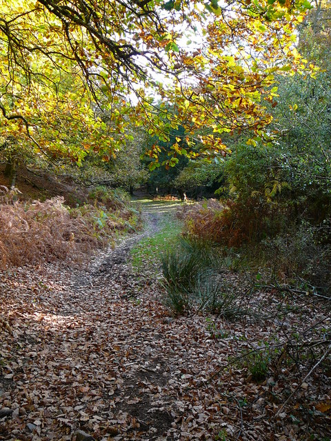
The wood is primarily composed of deciduous trees, including oak, beech, and birch, which create a vibrant and ever-changing landscape throughout the seasons. In spring, the forest floor is adorned with a carpet of bluebells, while autumn brings a stunning display of colorful foliage.
Halsway Wood is home to a rich variety of wildlife, making it a popular destination for nature enthusiasts. The diverse habitat supports a range of bird species, including woodpeckers, tits, and finches. It is also a haven for mammals such as deer, badgers, and foxes.
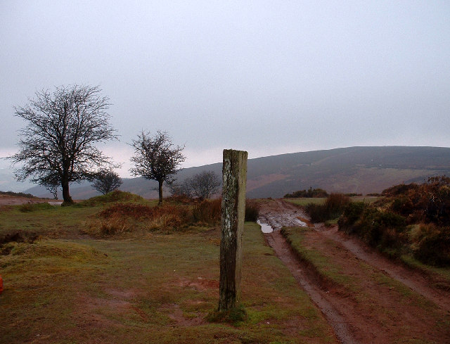
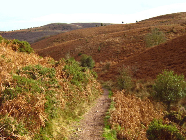
The wood is crisscrossed with a network of well-maintained footpaths, allowing visitors to explore its beauty at their leisure. These paths lead to several viewpoints that offer breathtaking vistas of the surrounding countryside, including the Bristol Channel and the distant hills of Exmoor.
Halsway Wood is managed by the Forestry Commission, who work to maintain the health and biodiversity of the woodland. They also organize educational events and activities to promote the understanding and appreciation of this unique natural environment.
Whether it's a leisurely stroll through the woods, birdwatching, or simply enjoying the tranquility of nature, Halsway Wood offers a peaceful retreat for all who visit. Its beauty and biodiversity make it a true gem in the heart of Somerset.
If you have any feedback on the listing, please let us know in the comments section below.
Halsway Wood Images
Images are sourced within 2km of 51.137279/-3.2469194 or Grid Reference ST1238. Thanks to Geograph Open Source API. All images are credited.


Halsway Wood is located at Grid Ref: ST1238 (Lat: 51.137279, Lng: -3.2469194)
Administrative County: Somerset
District: Somerset West and Taunton
Police Authority: Avon and Somerset
What 3 Words
///loud.statement.sampling. Near Williton, Somerset
Nearby Locations
Related Wikis

Halsway Manor
Halsway Manor (also known as Halsway Court) is a manor house in Halsway, Somerset. It is owned by the Halsway Manor Society who operate the manor as a...

Quantock Hills
The Quantock Hills west of Bridgwater in Somerset, England, consist of heathland, oak woodlands, ancient parklands and agricultural land. They were England...
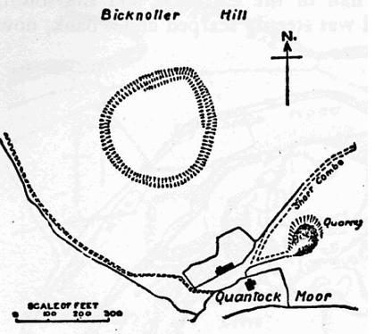
Trendle Ring
Trendle Ring (or Trundle Ring) is a late prehistoric earthwork on the Quantock Hills near Bicknoller in Somerset, England. It is a Scheduled Monument....

Crowcombe Court
Crowcombe Court in Crowcombe, Somerset, England is a large country house dating from 1724 to 1739. It is Grade I listed.It was built, in English regional...

Crowcombe
Crowcombe is a village and civil parish under the Quantock Hills in Somerset, England, 5.5 miles (9 km) southeast of Watchet, and 8 miles (13 km) from...

Stogumber railway station
Stogumber railway station is a station in Kingswood, Somerset, England which serves the nearby village of Stogumber. It was opened by the West Somerset...

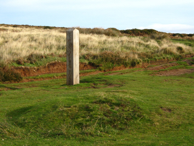
Bicknoller
Bicknoller is a village and civil parish on the western slopes of the Quantock Hills in the English county of Somerset. Administratively, the civil parish...

Roebuck Meadows
Roebuck Meadows (grid reference ST132354) is a 3.6 hectare (8.9 acre) biological Site of Special Scientific Interest south of Crowcombe in Somerset, notified...
Nearby Amenities
Located within 500m of 51.137279,-3.2469194Have you been to Halsway Wood?
Leave your review of Halsway Wood below (or comments, questions and feedback).