Cleeve
Settlement in Gloucestershire Forest of Dean
England
Cleeve
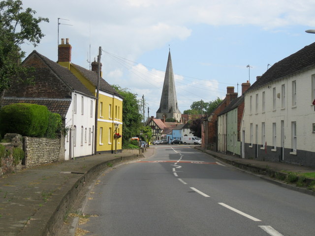
Cleeve is a small village located in the Cotswold district of Gloucestershire, England. Situated about 7 miles northeast of Cheltenham, it is nestled in the picturesque countryside of the Cotswolds, known for its rolling hills and charming landscapes.
The village of Cleeve is home to a population of around 2,000 residents and offers a tranquil and idyllic setting away from the hustle and bustle of larger towns. The village is characterized by its traditional stone-built houses, which give it a distinct Cotswold charm.
Cleeve is renowned for its strong community spirit and close-knit atmosphere. The village boasts a range of amenities, including a primary school, a village hall, a local pub, and a post office. Additionally, there is a cricket club and a football club where residents can enjoy various sporting activities.
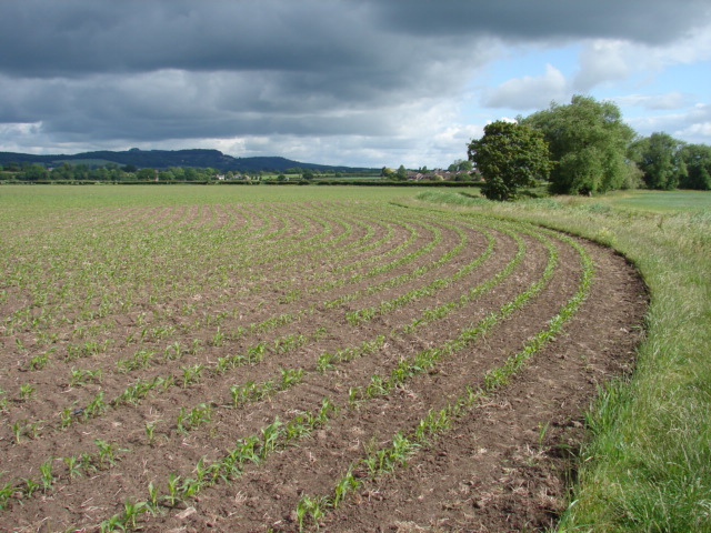
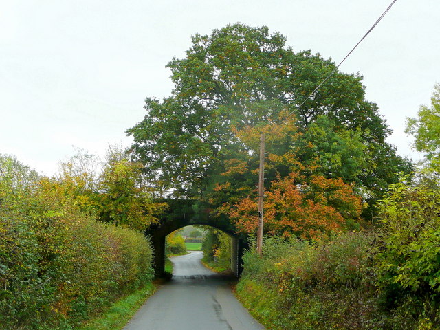
The surrounding countryside offers ample opportunities for outdoor pursuits, with numerous walking and cycling routes to explore. Cleeve Hill, which is part of the Cotswold Way, is a prominent landmark and provides breathtaking views of the surrounding area.
Despite its rural setting, Cleeve benefits from its proximity to larger towns such as Cheltenham and Gloucester. This allows residents to easily access a wider range of services, including shopping centers, restaurants, and cultural attractions.
Overall, Cleeve is a charming village that offers a peaceful and scenic environment, making it an ideal place for those seeking a rural lifestyle within reach of urban amenities.
If you have any feedback on the listing, please let us know in the comments section below.
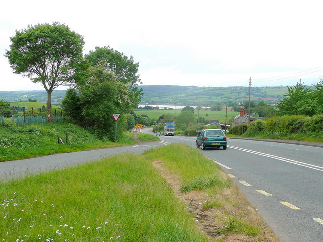
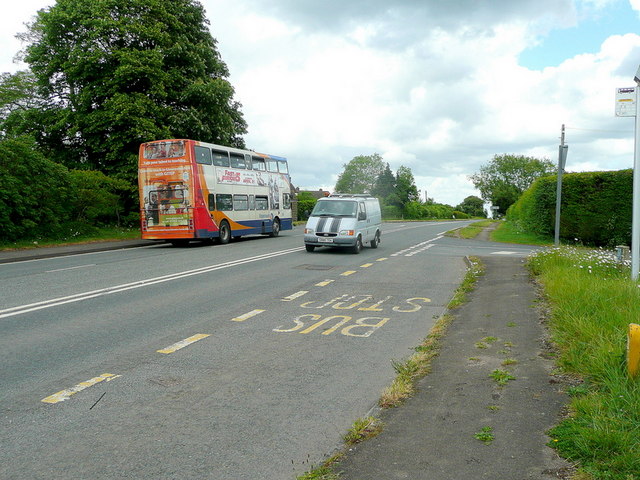
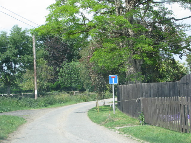
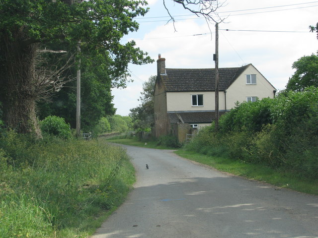
Cleeve Images
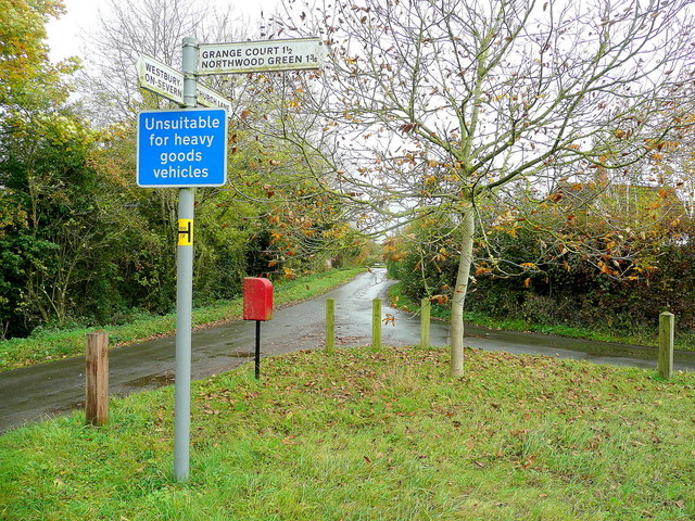
Images are sourced within 2km of 51.813537/-2.406143 or Grid Reference SO7212. Thanks to Geograph Open Source API. All images are credited.


Cleeve is located at Grid Ref: SO7212 (Lat: 51.813537, Lng: -2.406143)
Administrative County: Gloucestershire
District: Forest of Dean
Police Authority: Gloucestershire
What 3 Words
///hurricane.diplomas.skyrocket. Near Frampton on Severn, Gloucestershire
Nearby Locations
Related Wikis

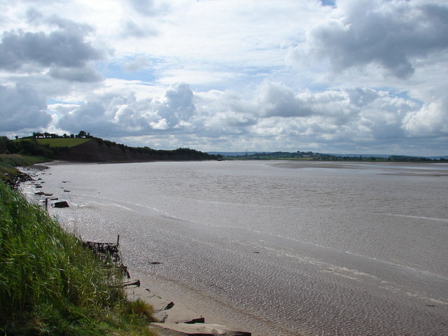
Garden Cliff
Garden Cliff (grid reference SO718128) is a 5.1-hectare (13-acre) geological Site of Special Scientific Interest in Gloucestershire, notified in 1954....

Westbury Court Garden
Westbury Court Garden is a Dutch water garden in Westbury-on-Severn, Gloucestershire, England, 9 miles (14 km) southwest of Gloucester. It is a rare survival...

Westbury-on-Severn
Westbury-on-Severn is a rural village in England that is the centre of the large, rural parish, also called Westbury-on-Severn. == Location == The village...

Westbury Shales
The Westbury Shales is a geologic formation in England. It preserves fossils of Holcoptera schlotheimi, Saurichthys acuminatus, Coleopteron sp. and Liassophlebia...
Nearby Amenities
Located within 500m of 51.813537,-2.406143Have you been to Cleeve?
Leave your review of Cleeve below (or comments, questions and feedback).