Perry Combe Plantations

Wood, Forest in Somerset Somerset West and Taunton

England

Perry Combe Plantations

Path up Beacon Hill near Staple Plain Car Park
Path up Beacon Hill near Staple Plain Car Park Credit: David Martin

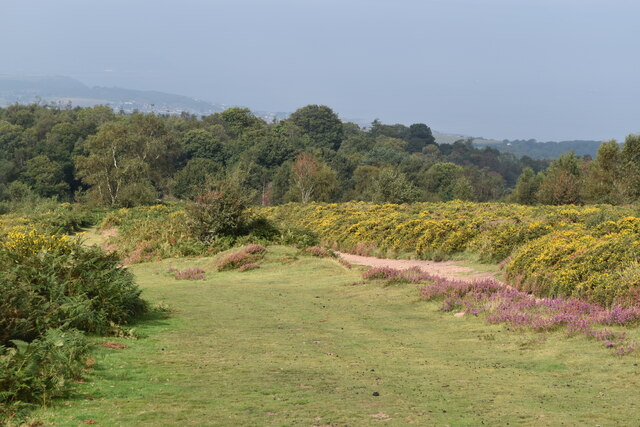
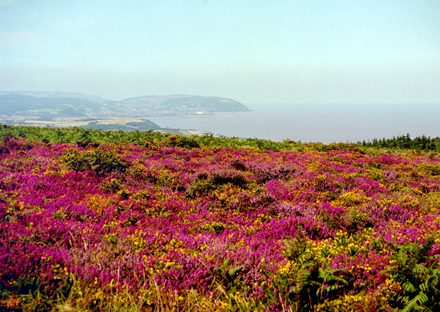
Perry Combe Plantations, located in Somerset, England, is a sprawling woodland area known for its lush greenery and diverse range of flora and fauna. Spanning over several acres, this picturesque forest is a haven for nature enthusiasts and a popular destination for those seeking tranquility and natural beauty.

The plantation boasts a variety of tree species, including oak, beech, ash, and hornbeam, which create a dense and vibrant canopy overhead. These trees provide a habitat for a wide range of wildlife, including deer, foxes, badgers, and various bird species, making it a perfect spot for birdwatching and wildlife spotting.

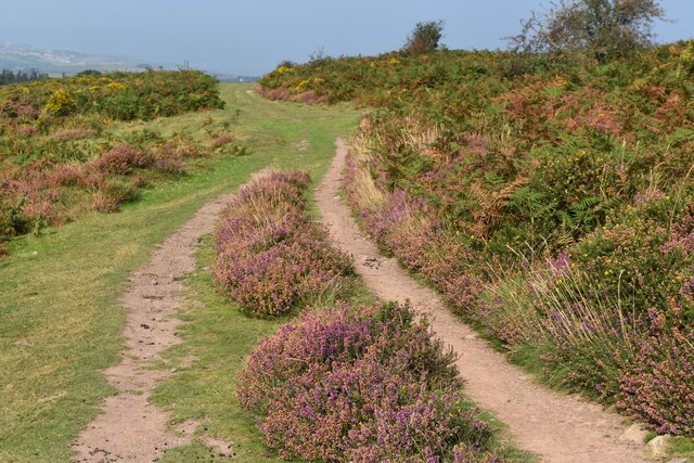
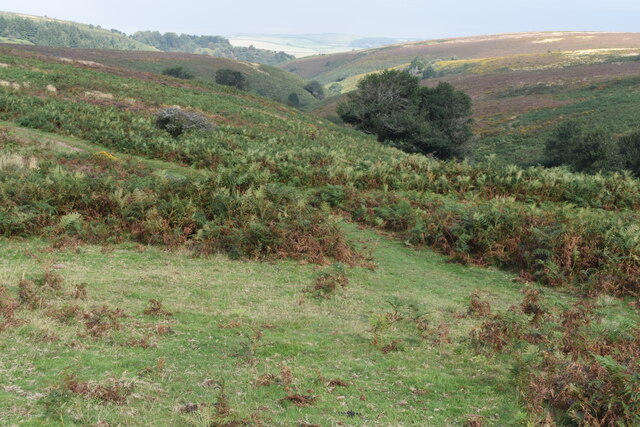
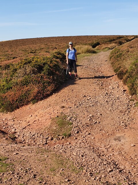
The plantation's well-maintained network of walking trails and footpaths allows visitors to explore the woodland at their own pace. The paths wind through the forest, leading to breathtaking viewpoints, hidden streams, and peaceful clearings, providing visitors with ample opportunities to connect with nature and enjoy the serene surroundings.

Perry Combe Plantations is not only a natural sanctuary but also plays a vital role in sustainable forestry practices. Managed by a team of dedicated conservationists, the plantation follows environmentally friendly practices to ensure the longevity of the woodland ecosystem. This includes selective tree harvesting and replanting, as well as the preservation of natural habitats for the resident wildlife.

Whether it's a leisurely stroll through the trees, a picnic in a secluded glade, or simply immersing oneself in the sounds and scents of the forest, Perry Combe Plantations offers a rejuvenating experience for all who visit. Its natural beauty, abundant wildlife, and commitment to conservation make it a truly remarkable destination in Somerset.

If you have any feedback on the listing, please let us know in the comments section below.

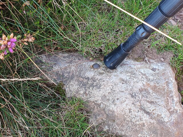
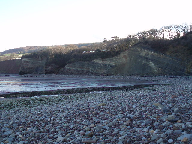
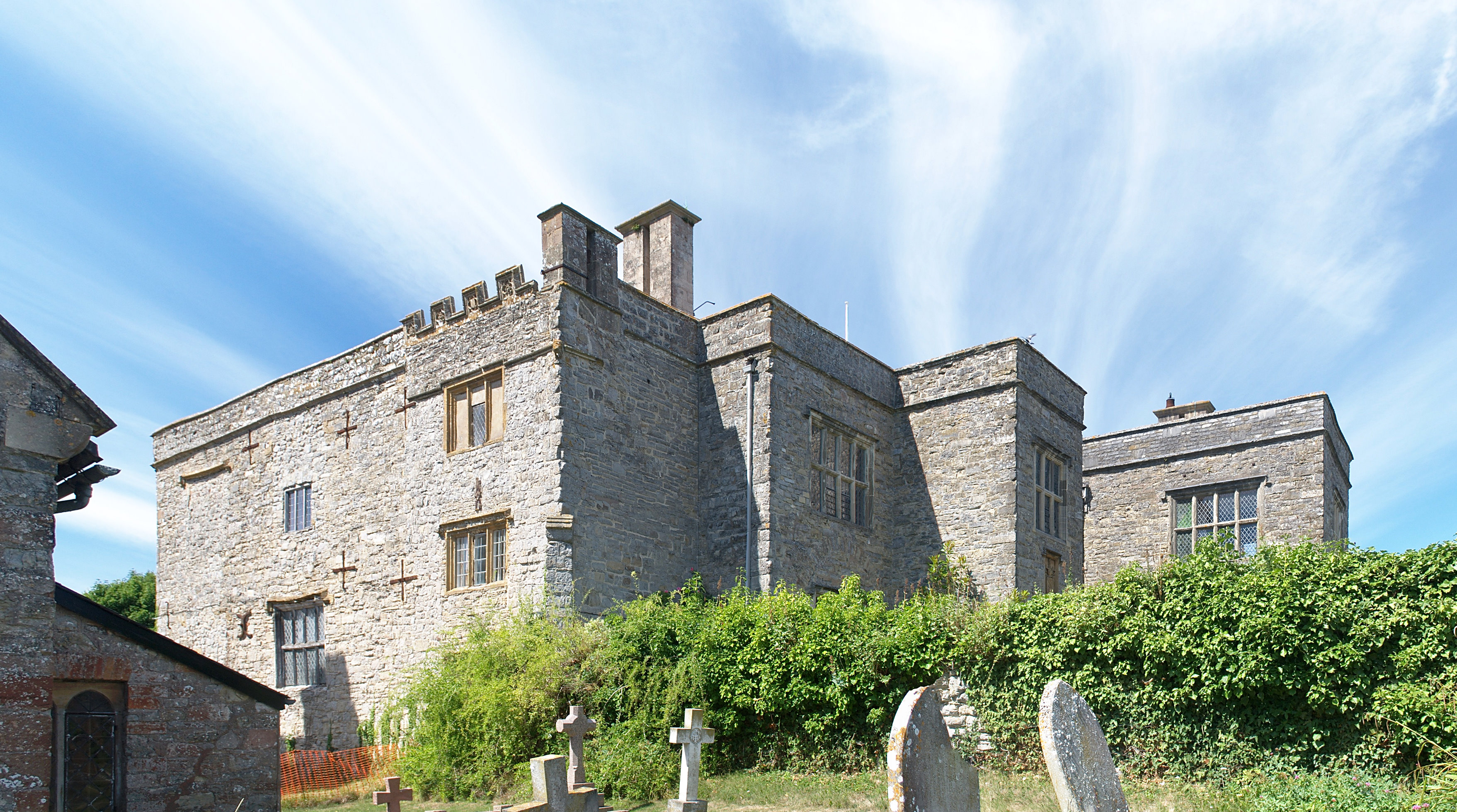
Perry Combe Plantations Images

Images are sourced within 2km of 51.173567/-3.2583837 or Grid Reference ST1242. Thanks to Geograph Open Source API. All images are credited.

Path up Beacon Hill near Staple Plain Car Park
Path on Beacon Hill
Path on Beacon Hill
Bank of gorse on Beacon Hill
Path on Beacon Hill
Path on Beacon Hill
View over the head of Gay’s House Combe
Sheep on the path on Round Hill
Heather on northern flank of Beacon Hill
Public Footpath Public footpath that leads to the summit of Beacon Hill, Somerset. The path also has an Ordnance Survey rivet.
<a href="https://www.geograph.org.uk/photo/6998658">ST1240 : Ordnance Survey Rivet</a>
Public Footpath
Public footpath that leads to the summit of Beacon Hill, Somerset. The path also has an Ordnance Survey rivet. ST1240 : Ordnance Survey Rivet
Ordnance Survey Rivet This rivet is located on a public footpath that leads to the summit of Beacon Hill, Somerset. These rivets were used by Ordnance Survey for mapping purposes.
<a href="https://www.geograph.org.uk/photo/6998654">ST1240 : Public Footpath</a>
Ordnance Survey Rivet
This rivet is located on a public footpath that leads to the summit of Beacon Hill, Somerset. These rivets were used by Ordnance Survey for mapping purposes. ST1240 : Public Footpath
St Etheldreda's Church
The Orangery at St Audries Park
The Northern Flank of Beacon Hill (Quantocks) In late summer the northern Quantocks are ablaze with Heather and Gorse.  Minehead can be seen in the distance
The Northern Flank of Beacon Hill (Quantocks)
In late summer the northern Quantocks are ablaze with Heather and Gorse. Minehead can be seen in the distance
East Quantoxhead Church from the SSW East Quantoxhead is an "Estate" village, hardly changed by modern development.  For more info see <span class="nowrap"><a title="www.quantockonline.co.uk/quantocks/villages/eastquantoxhead/eastquantoxhead1.html" rel="nofollow ugc noopener" href="http://www.quantockonline.co.uk/quantocks/villages/eastquantoxhead/eastquantoxhead1.html">Link</a><img style="margin-left:2px;" alt="External link" title="External link - shift click to open in new window" src="https://s1.geograph.org.uk/img/external.png" width="10" height="10"/></span>
East Quantoxhead Church from the SSW
East Quantoxhead is an "Estate" village, hardly changed by modern development. For more info see LinkExternal link
St. Audries Church A charming little church, next to the A39 in West Quantoxhead
St. Audries Church
A charming little church, next to the A39 in West Quantoxhead
The Orangery, St Audries Park At one time St. Audries Park was a posh girls'-school, or is that posh-girls' school?  Anyway it is now a business that specialises in weddings.  The service takes place in the Orangery and the rest of the festivities take place in the house, behind us.
The Orangery, St Audries Park
At one time St. Audries Park was a posh girls'-school, or is that posh-girls' school? Anyway it is now a business that specialises in weddings. The service takes place in the Orangery and the rest of the festivities take place in the house, behind us.
St Audries Park The house was once a girl's school, but is now used for weddings.
St Audries Park
The house was once a girl's school, but is now used for weddings.
Waterfall between Doniford and St. Audries Bay This waterfall plunges straight down onto the beach and can only be reached on foot at low tide. There will soon be some more falls of vegetation and rock from the top. The horizontal strata are very well defined.
Waterfall between Doniford and St. Audries Bay
This waterfall plunges straight down onto the beach and can only be reached on foot at low tide. There will soon be some more falls of vegetation and rock from the top. The horizontal strata are very well defined.
Eastwards from Doniford. The waterfall in the other photograph for this square plunges from the striped cliff face on the extreme left of the picture.
Eastwards from Doniford.
The waterfall in the other photograph for this square plunges from the striped cliff face on the extreme left of the picture.
Show me another place!

Perry Combe Plantations is located at Grid Ref: ST1242 (Lat: 51.173567, Lng: -3.2583837)

Administrative County: Somerset

District: Somerset West and Taunton

Police Authority: Avon and Somerset

What 3 Words

///hers.shrugging.powerful. Near Williton, Somerset

Related Wikis

West Quantoxhead

West Quantoxhead is a small village and civil parish in the Somerset West and Taunton district of Somerset, England. It lies on the route of the Coleridge...

Church of St Etheldreda, West Quantoxhead

The Church of St Etheldreda, also known as the Church of St Audries, is a Church of England parish church in West Quantoxhead, Somerset, England. Designed...

St Audries Park

St Audries Park Manor house at West Quantoxhead in the Quantock Hills of Somerset, England, was the manor house of the Acland family. It was rebuilt on...

East Quantoxhead

East Quantoxhead is a village in the district of Somerset West and Taunton, 3 miles (5 km) from West Quantoxhead, 4 miles (6 km) east of Williton, and...

Court House, East Quantoxhead

The Court House in East Quantoxhead, Somerset, England has a medieval tower and other parts of the building which date from the 17th century. It has been...

Church of St Mary, East Quantoxhead

The Anglican Church of St Mary in East Quantoxhead, Somerset, England was built in the 14th century. It is a Grade II* listed building. == History == The...
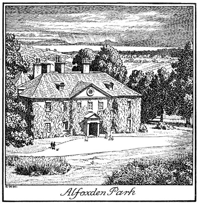
Alfoxton House

Alfoxton House, also known as Alfoxton Park or Alfoxden, is an 18th-century country house in Holford, Somerset, England, within the Quantock Hills Area...

Bicknoller

Bicknoller is a village and civil parish on the western slopes of the Quantock Hills in the English county of Somerset. Administratively, the civil parish...

Nearby Amenities

Located within 500m of 51.173567,-3.2583837
Power: tower
Lat/Long: 51.1734849/-3.2556985
Power: tower
Lat/Long: 51.1743081/-3.2541585
Power: tower
Lat/Long: 51.1721424/-3.2581224
Power: tower
Lat/Long: 51.1702932/-3.2614352
Parking
Capacity: 6
Parking: surface
Smoothness: bad
Surface: fine_gravel
Lat/Long: 51.1753938/-3.2620484
The data included in this document is from www.openstreetmap.org. The data is made available under ODbL.

Have you been to Perry Combe Plantations?

Leave your review of Perry Combe Plantations below (or comments, questions and feedback).