Farend Wood
Wood, Forest in Cumberland Copeland
England
Farend Wood
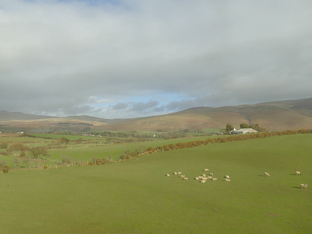
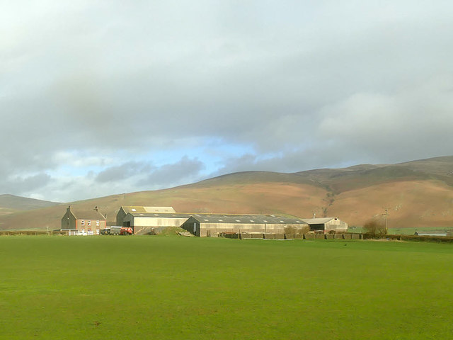
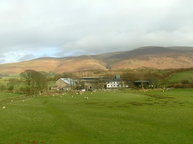
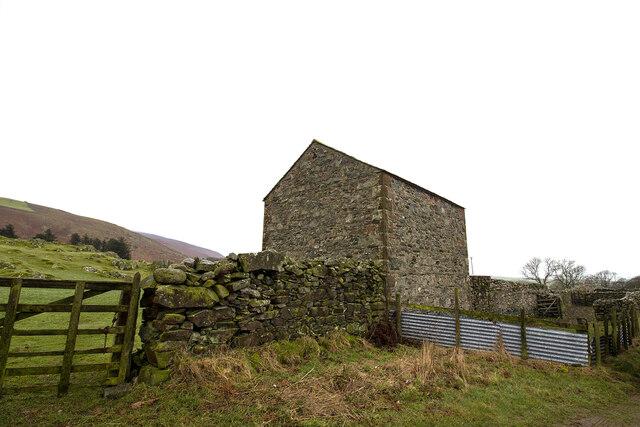
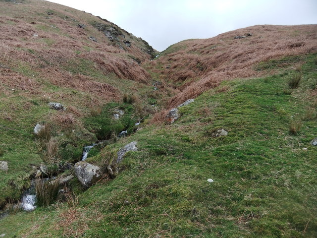
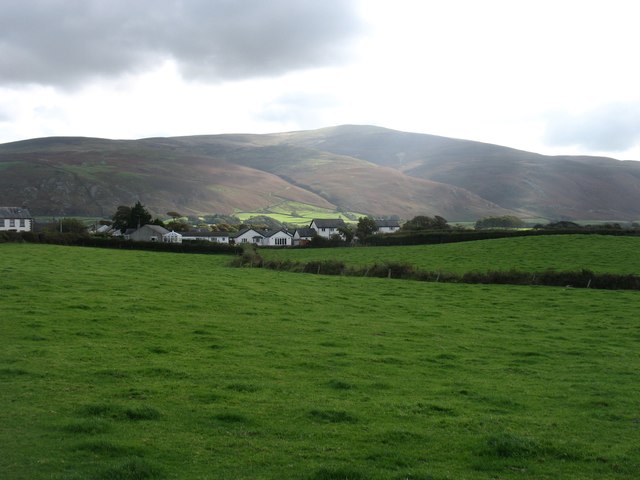
Farend Wood, located in Cumberland, is a picturesque forest that spans approximately 150 acres. It is a well-preserved and diverse woodland, boasting a rich ecosystem and serving as a vital habitat for numerous flora and fauna species. The wood is easily accessible, situated just a short distance from the town of Cumberland, making it a popular destination for nature enthusiasts and locals alike.
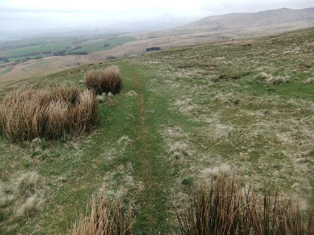
The wood is predominantly composed of native broadleaf trees, such as oak, beech, and ash, which create a dense canopy, providing ample shade and shelter. The forest floor is covered in a lush carpet of mosses, ferns, and wildflowers, creating a vibrant and enchanting atmosphere. A meandering network of well-maintained footpaths and trails winds through the wood, allowing visitors to explore its depths and discover hidden gems at every turn.
Farend Wood is also home to a diverse array of wildlife. Birdwatchers will delight in the opportunity to spot various species, including woodpeckers, owls, and thrushes. The forest's tranquil ponds and streams attract a multitude of aquatic creatures, including frogs, newts, and even the occasional otter. Small mammals, such as squirrels and rabbits, can be seen scurrying through the undergrowth, while elusive deer and foxes roam the more secluded areas.
The wood is not only a natural haven but also holds historical significance. Remnants of ancient settlements and burial mounds can be found within its boundaries, serving as a reminder of the area's rich cultural heritage.
Overall, Farend Wood is a captivating destination for nature lovers and history enthusiasts alike, offering a serene escape from the hustle and bustle of everyday life.
If you have any feedback on the listing, please let us know in the comments section below.
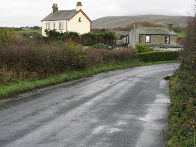
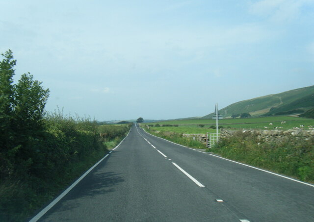
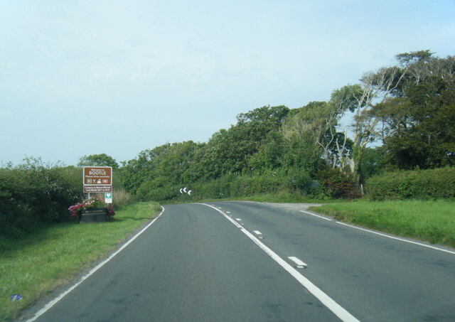
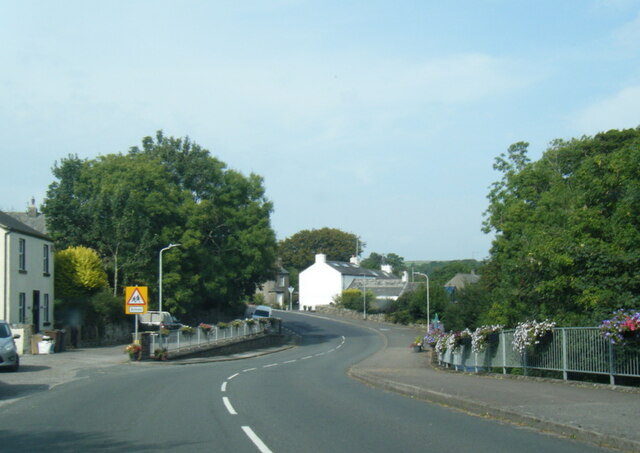
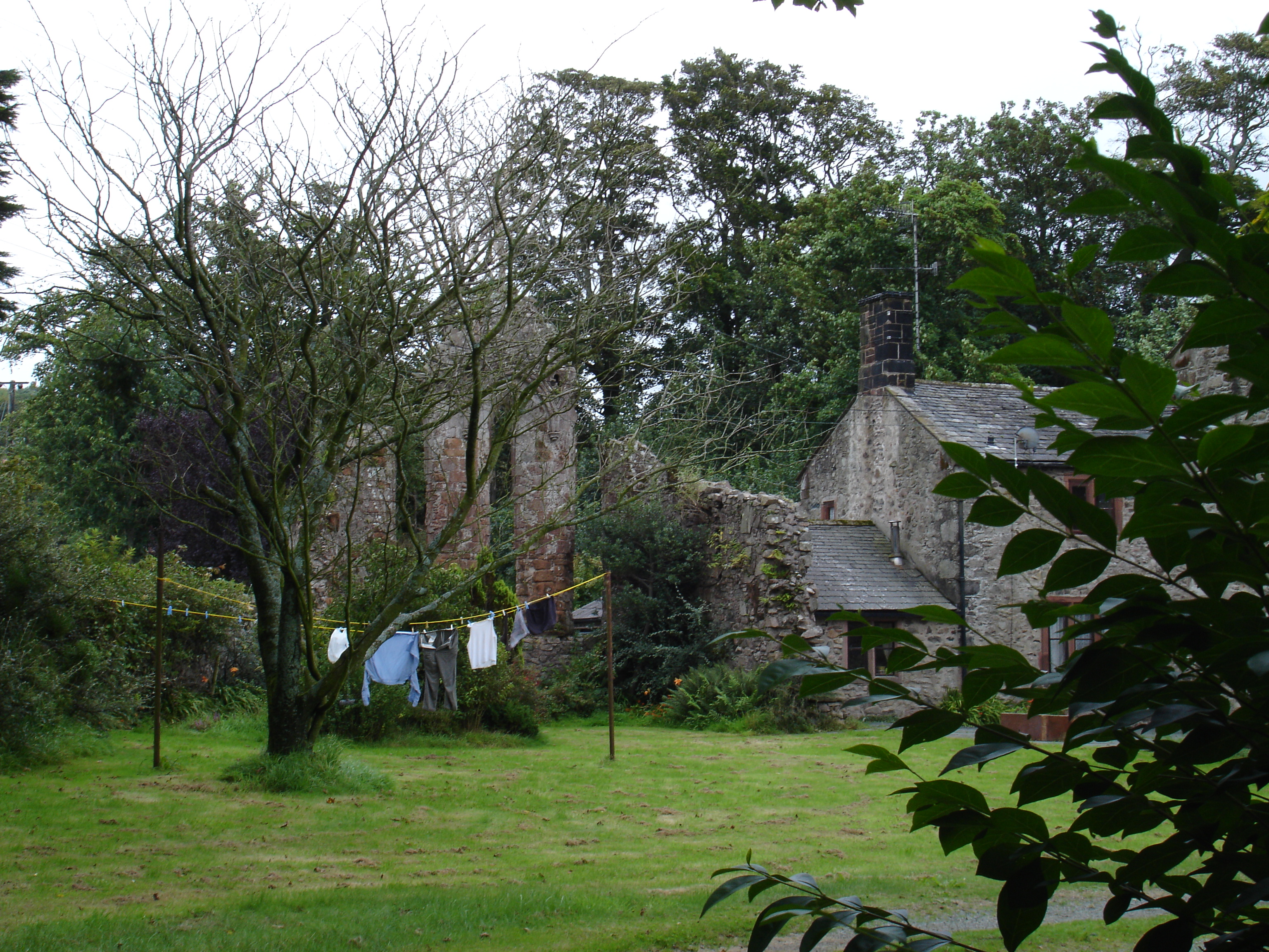
Farend Wood Images
Images are sourced within 2km of 54.277218/-3.3590592 or Grid Reference SD1187. Thanks to Geograph Open Source API. All images are credited.


Farend Wood is located at Grid Ref: SD1187 (Lat: 54.277218, Lng: -3.3590592)
Administrative County: Cumbria
District: Copeland
Police Authority: Cumbria
What 3 Words
///spinners.buying.helper. Near Millom, Cumbria
Nearby Locations
Related Wikis

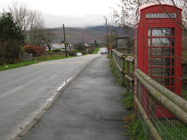
Bootle, Cumbria
Bootle (oo as in boot) is a village and civil parish in the Borough of Copeland in Cumbria, England. The parish had a population of 745 in the 2001 census...

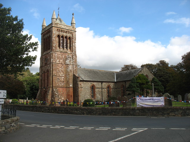
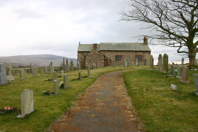
St Michael's Church, Bootle
St Michael's Church is in the village of Bootle, Cumbria, England. It is an active Anglican parish church in the deanery of Calder, the archdeaconry of...
Seaton Priory
Originally called the nunnery of Lekeley from the name of the land it was built upon, the former nunnery of Seaton is to the north of the parish of Bootle...
Corney
Corney is a village and former civil parish, now in the parish of Waberthwaite, in the Cumberland district, in the ceremonial county of Cumbria, England...
Hycemoor
Hycemoor is a hamlet in Copeland borough of the county of Cumbria, in North west England. == Location == It is located on a minor road about a mile away...

Bootle railway station
Bootle is a railway station on the Cumbrian Coast Line, which runs between Carlisle and Barrow-in-Furness. The station, situated 24 miles (39 km) north...

Annaside
Annaside is a hamlet in Cumbria, England. It is located on the coast by the Irish Sea, about a 1+1⁄2 miles (2+1⁄2 km) south-west of Bootle and 7 miles...

Black Combe
Black Combe is a fell in the south-west corner of the Lake District National Park, England, just 4 miles (6.4 km) from the Irish Sea. It lies near the...
Nearby Amenities
Located within 500m of 54.277218,-3.3590592Have you been to Farend Wood?
Leave your review of Farend Wood below (or comments, questions and feedback).