Blamire Wood

Wood, Forest in Cumberland Copeland

England

Blamire Wood

Hedge Close A fine South Cumbrian cottage.
Hedge Close Credit: Andrew Woodhall

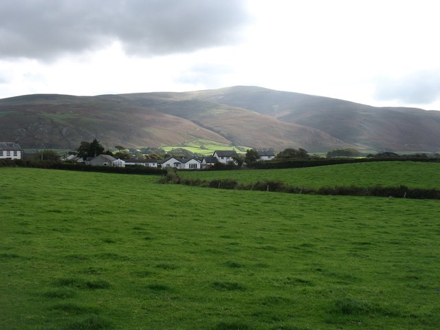
Blamire Wood, located in the county of Cumberland in northwest England, is a picturesque forest known for its natural beauty and diverse wildlife. Covering an area of approximately 500 acres, this woodland is part of the larger Lake District National Park.

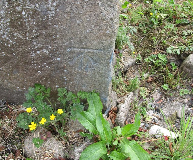
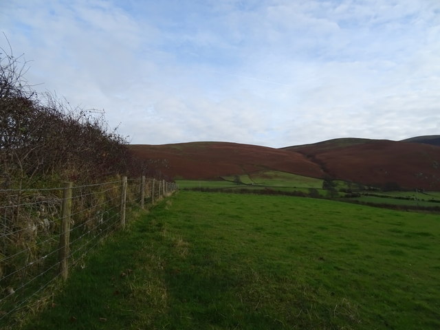
Blamire Wood is characterized by its dense, ancient trees, predominantly consisting of oak, birch, and beech species. The forest floor is carpeted with a rich variety of flora, including bluebells, wild garlic, and ferns, creating a vibrant and colorful landscape, especially during the spring and summer months.

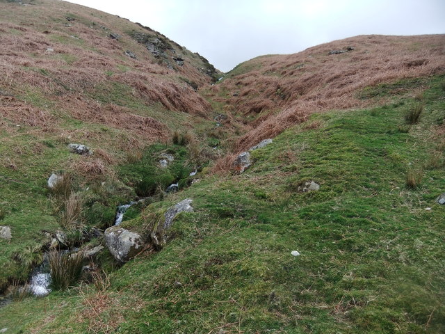
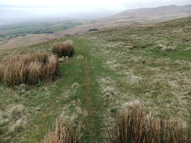
The wood is crisscrossed by numerous walking trails, allowing visitors to explore its tranquil surroundings. These pathways offer stunning views of the forest and its surroundings, including glimpses of the nearby fells and meandering streams. Nature enthusiasts can expect to encounter a wide range of wildlife within the wood, such as red squirrels, deer, badgers, and an array of bird species, including woodpeckers and songbirds.

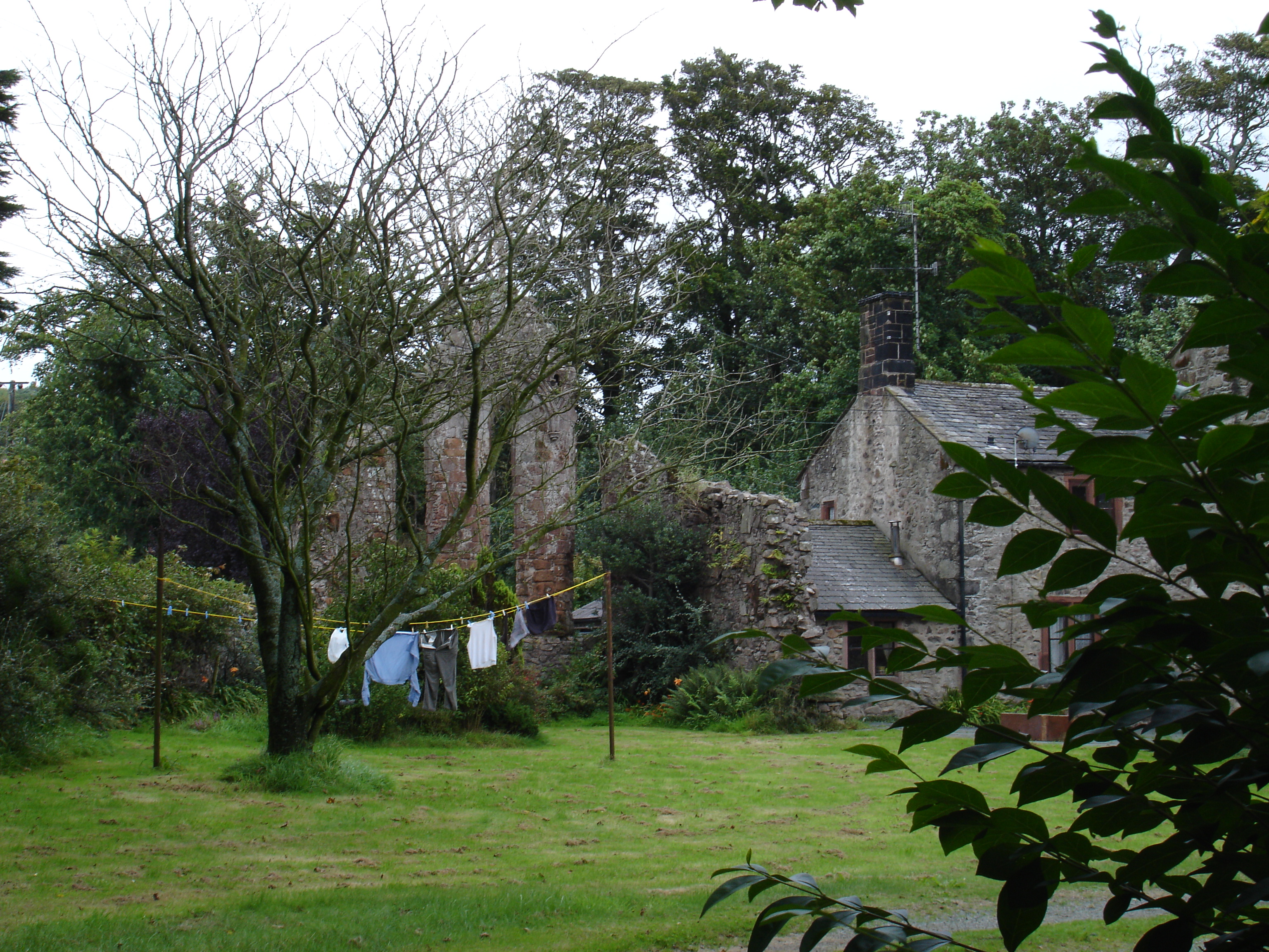
Blamire Wood also holds historical significance, with remnants of ancient settlements and boundary walls still visible to this day. These remnants provide insight into the forest's past and its connection to the local communities.

Visitors to Blamire Wood can enjoy a peaceful escape from the hustle and bustle of everyday life, immersing themselves in the tranquility and natural charm of this ancient forest. Whether it's exploring the walking trails, observing the wildlife, or simply enjoying a picnic amidst nature, Blamire Wood offers a serene and rejuvenating experience for all who venture into its enchanting realm.

If you have any feedback on the listing, please let us know in the comments section below.
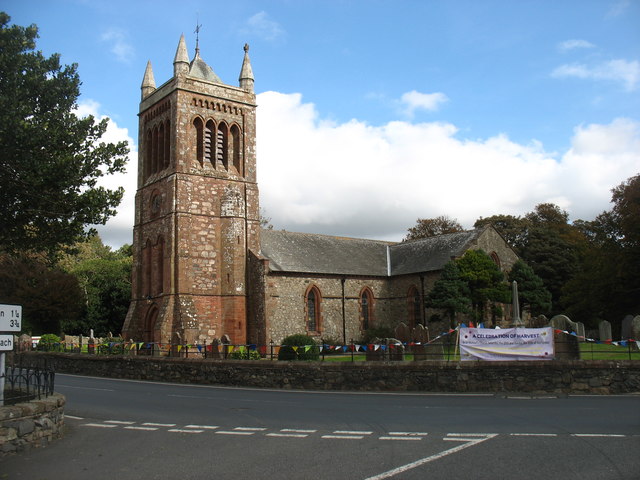
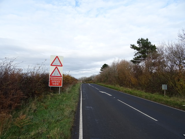
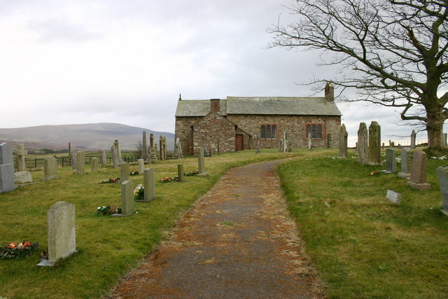
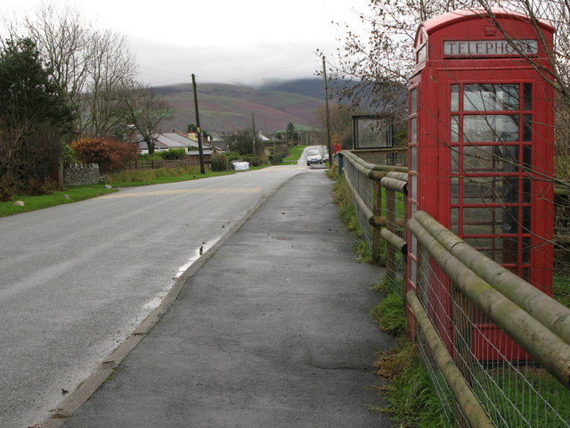
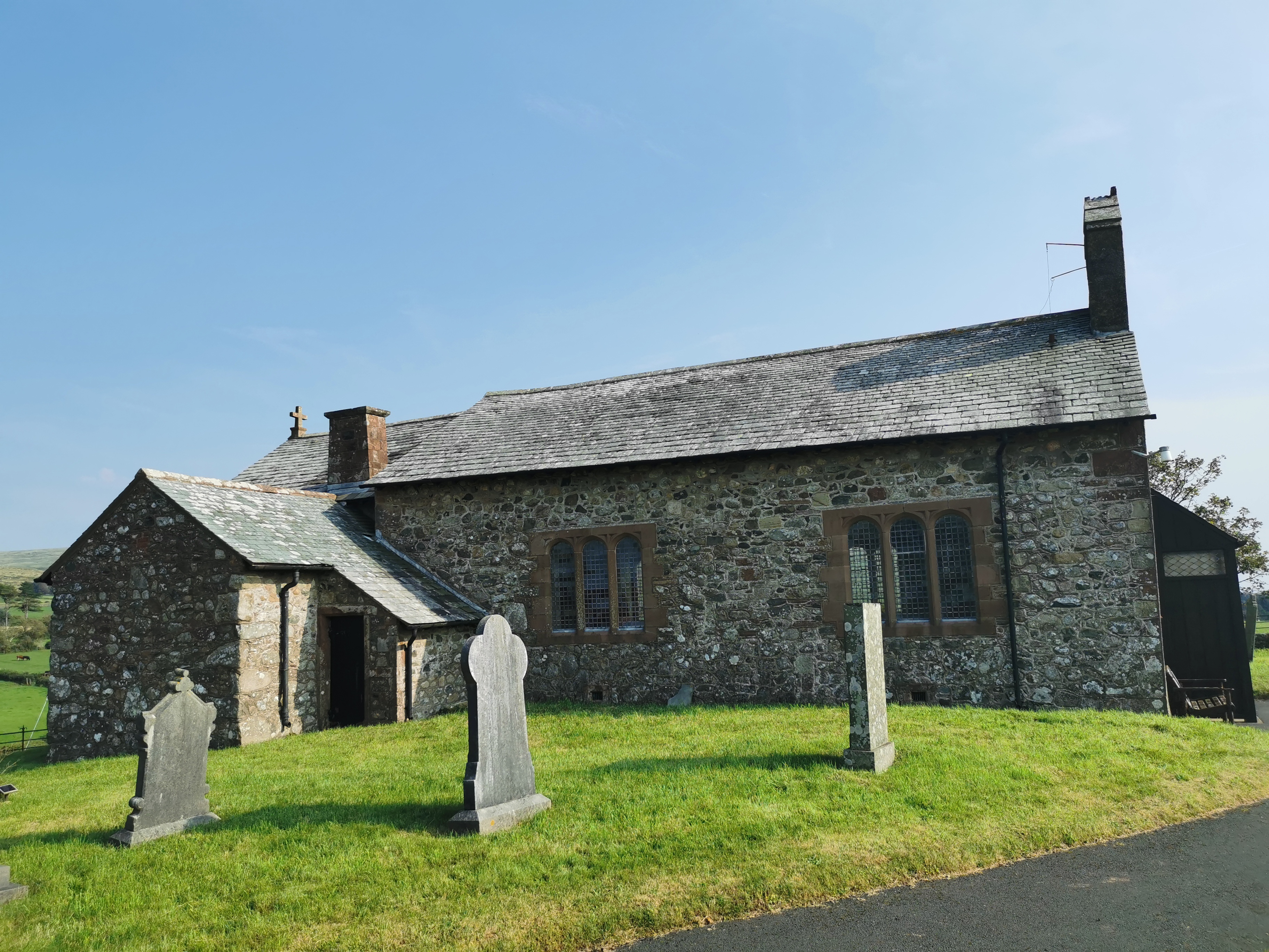
Blamire Wood Images

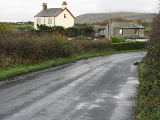
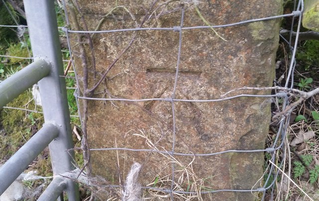
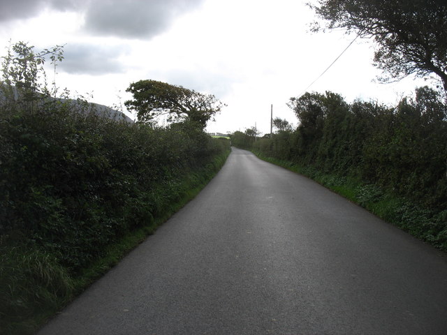
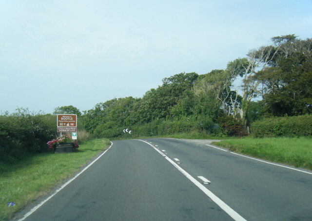
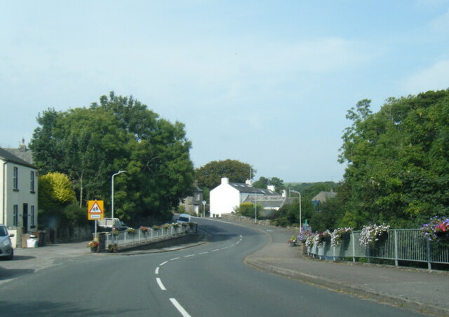
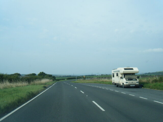
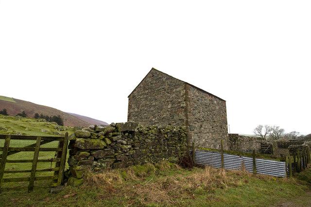
Images are sourced within 2km of 54.288092/-3.3607845 or Grid Reference SD1188. Thanks to Geograph Open Source API. All images are credited.

Hedge Close A fine South Cumbrian cottage.
Hedge Close
A fine South Cumbrian cottage.
Ordnance Survey Cut Mark This OS cut mark can be found on the gatepost east side of the road. It marks a point 23.058m above mean sea level.
Ordnance Survey Cut Mark
This OS cut mark can be found on the gatepost east side of the road. It marks a point 23.058m above mean sea level.
The lane to Bootle Bootle Station is about a mile from the village, and this lane connects the two.
The lane to Bootle
Bootle Station is about a mile from the village, and this lane connects the two.
A595 at Bootle village boundary near Broomhill
A595 northbound in Bootle
A595 northbound near Ford House
Field barn and sheep pens Field barn and sheep pens near Bootle village
Field barn and sheep pens
Field barn and sheep pens near Bootle village
Ordnance Survey Flush Bracket (S7102) This OS Flush Bracket can be found on the school. It marks a point 27.987m above mean sea level.
Ordnance Survey Flush Bracket (S7102)
This OS Flush Bracket can be found on the school. It marks a point 27.987m above mean sea level.
Ordnance Survey Cut Mark This OS cut mark can be found on the north angle of the barn at Crosshouse Farm. It marks a point 33.132m above mean sea level.
Ordnance Survey Cut Mark
This OS cut mark can be found on the north angle of the barn at Crosshouse Farm. It marks a point 33.132m above mean sea level.
Hallfoss Beck
Hallfoss Beck
Path on Little Fell
Path on Little Fell
Ordnance Survey 1GL Bolt This OS Bolt can be found on the west face of St Michael's Church. It marks a point 29.5579m above mean sea level.
Ordnance Survey 1GL Bolt
This OS Bolt can be found on the west face of St Michael's Church. It marks a point 29.5579m above mean sea level.
Bootle village across the fields With Black Combe above. Black Combe, at exactly 600m high, may be the lowest Simm (Six hundred metre hill).
Bootle village across the fields
With Black Combe above. Black Combe, at exactly 600m high, may be the lowest Simm (Six hundred metre hill).
St Michael and all Angels church, Bootle
Grazing near Far End Farm
A595 towards Bootle
A595 towards Bootle
Field entrance and footpath beside the River Annas, Millholme Bridge Off the A595.
Field entrance and footpath beside the River Annas, Millholme Bridge
Off the A595.
A595, Millholme Bridge Toward Bootle.
A595, Millholme Bridge
Toward Bootle.
Show me another place!

Blamire Wood is located at Grid Ref: SD1188 (Lat: 54.288092, Lng: -3.3607845)

Administrative County: Cumbria

District: Copeland

Police Authority: Cumbria

What 3 Words

///saddens.puzzles.gullible. Near Millom, Cumbria

Nearby Locations

Beckside Wood Blamire Wood

Related Wikis

Nearby Amenities

Located within 500m of 54.288092,-3.3607845
Power: pole
Lat/Long: 54.2841966/-3.3633665
Power: pole
Lat/Long: 54.2853967/-3.364731
Power: pole
Lat/Long: 54.2852308/-3.3660851
Power: pole
Lat/Long: 54.2864324/-3.3631823
Power: pole
Lat/Long: 54.2855963/-3.3632416
Power: pole
Lat/Long: 54.2849277/-3.3633331
Power: pole
Lat/Long: 54.2875831/-3.3626169
Power: pole
Lat/Long: 54.2881174/-3.3647568
Power: pole
Lat/Long: 54.2884219/-3.3642789
Power: pole
Lat/Long: 54.2891988/-3.3631136
Power: pole
Lat/Long: 54.2898862/-3.363073
Power: pole
Lat/Long: 54.2906703/-3.3630324
Power: pole
Lat/Long: 54.2909037/-3.3630699
Bootle Bank
Place: locality
Lat/Long: 54.2873159/-3.3564313
Fell Green
Place: locality
Lat/Long: 54.2844611/-3.3595132
High Mill
Place: locality
Lat/Long: 54.2906285/-3.3644226
Power: pole
Lat/Long: 54.283719/-3.3610251
Power: pole
Lat/Long: 54.2855778/-3.3633437
The data included in this document is from www.openstreetmap.org. The data is made available under ODbL.

Have you been to Blamire Wood?

Leave your review of Blamire Wood below (or comments, questions and feedback).