Crackenthwaite Wood
Wood, Forest in Cumberland Copeland
England
Crackenthwaite Wood
Crackenthwaite Wood is a captivating woodland located in the county of Cumberland, England. Nestled within the picturesque countryside, this enchanting forest spans over a vast area and is renowned for its awe-inspiring natural beauty. With its lush greenery, diverse range of flora, and peaceful atmosphere, Crackenthwaite Wood offers a serene escape from the hustle and bustle of everyday life.
The wood is characterized by its dense canopy of ancient trees, predominantly consisting of oak, beech, and ash. These towering giants provide a haven for various wildlife species, including birds, mammals, and insects. Nature enthusiasts and birdwatchers are often treated to the melodious songs of the resident bird population, which includes the likes of woodpeckers, owls, and thrushes.
Tranquil walking trails wind their way through the wood, inviting visitors to explore its hidden corners and discover its treasures. Along these paths, one can stumble upon streams, small ponds, and charming clearings that add to the wood's allure. The dappled sunlight filtering through the foliage creates a magical ambiance, perfect for relaxation and reflection.
Crackenthwaite Wood has a rich history, dating back centuries. It has witnessed the passage of time, seen generations come and go, and remained a constant source of solace and inspiration. Its enduring beauty attracts nature lovers, artists, and photographers alike, who seek to capture its essence and share its splendor with others.
Overall, Crackenthwaite Wood is a captivating woodland that showcases the natural wonders of Cumberland. Its tranquil ambiance, diverse wildlife, and breathtaking scenery make it a must-visit destination for anyone seeking a connection with nature and a peaceful retreat from the modern world.
If you have any feedback on the listing, please let us know in the comments section below.
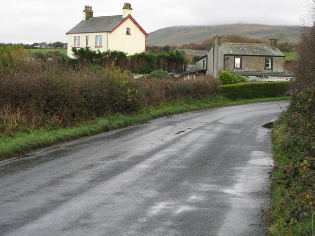
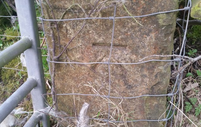
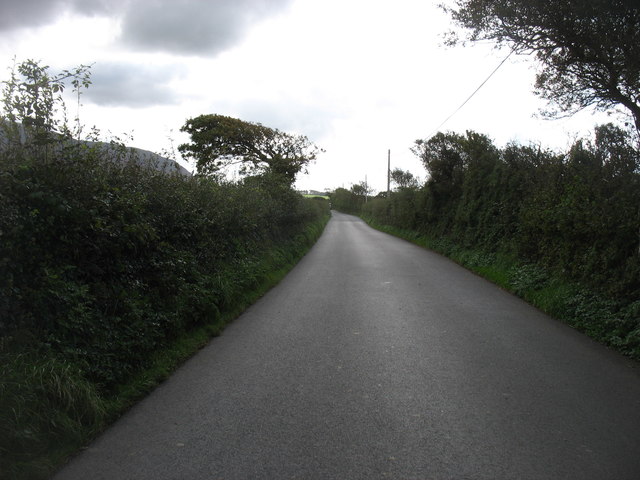
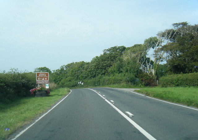
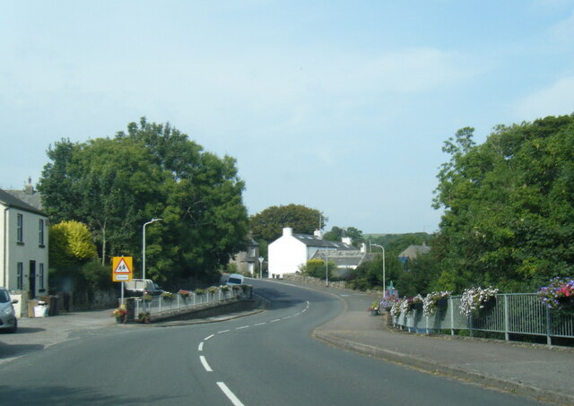
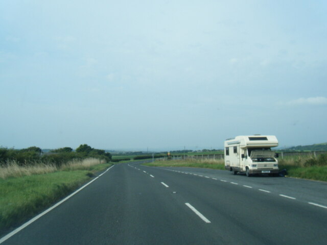
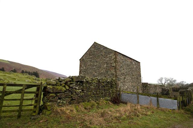
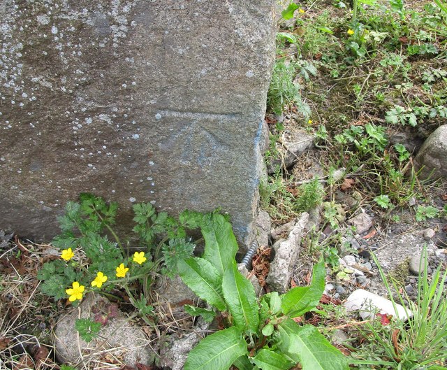
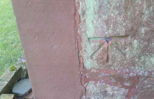
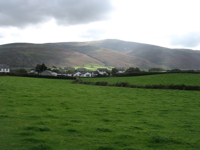
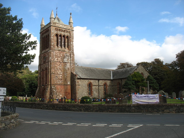
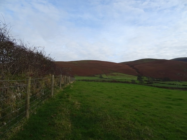
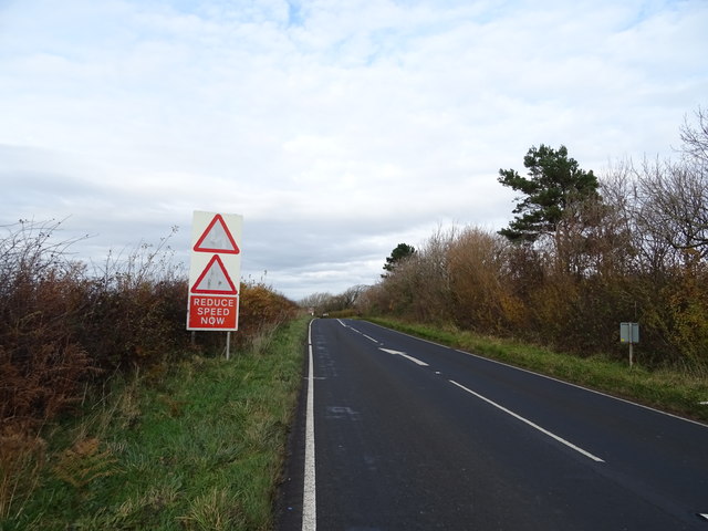
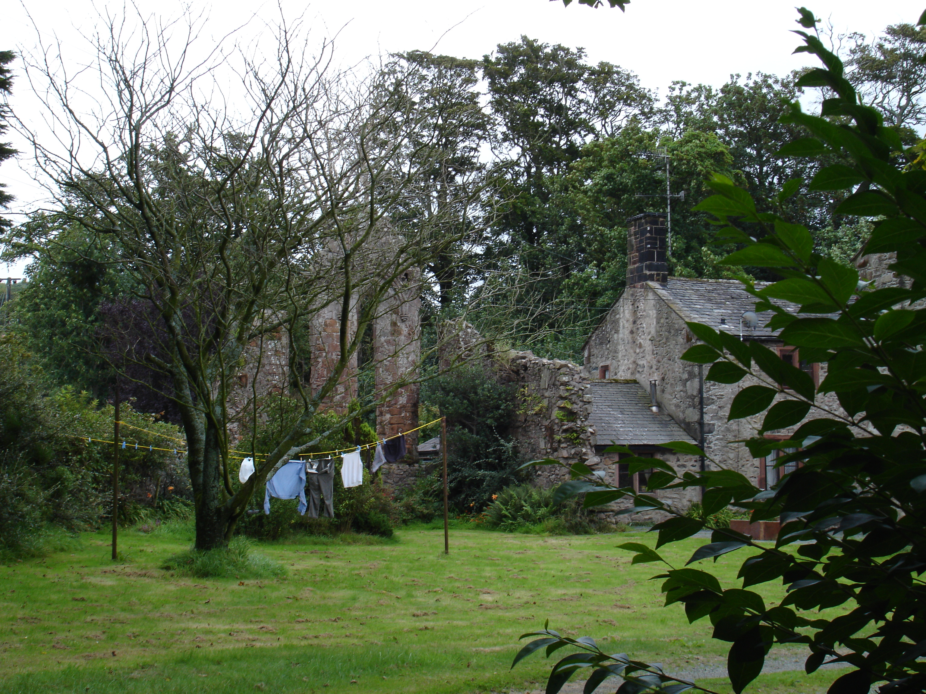
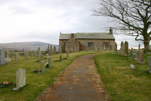
Crackenthwaite Wood Images
Images are sourced within 2km of 54.290448/-3.3615229 or Grid Reference SD1189. Thanks to Geograph Open Source API. All images are credited.


Crackenthwaite Wood is located at Grid Ref: SD1189 (Lat: 54.290448, Lng: -3.3615229)
Administrative County: Cumbria
District: Copeland
Police Authority: Cumbria
What 3 Words
///fixture.closet.overdone. Near Millom, Cumbria
Nearby Locations
Related Wikis
Seaton Priory
Originally called the nunnery of Lekeley from the name of the land it was built upon, the former nunnery of Seaton is to the north of the parish of Bootle...
Corney
Corney is a village and former civil parish, now in the parish of Waberthwaite, in the Cumberland district, in the ceremonial county of Cumbria, England...
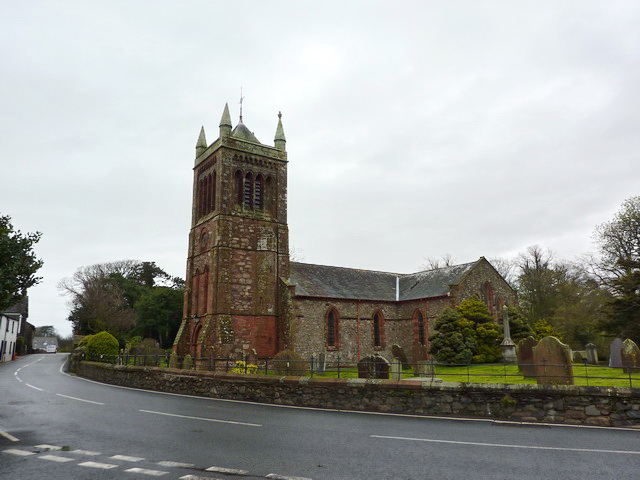
St Michael's Church, Bootle
St Michael's Church is in the village of Bootle, Cumbria, England. It is an active Anglican parish church in the deanery of Calder, the archdeaconry of...

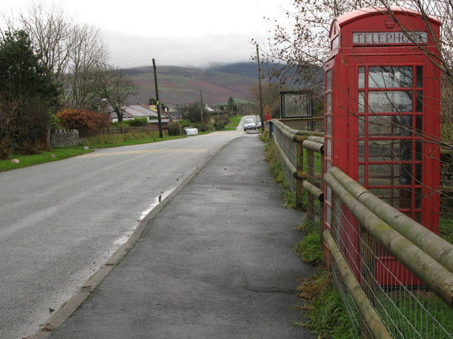
Bootle, Cumbria
Bootle (oo as in boot) is a village and civil parish in the Borough of Copeland in Cumbria, England. The parish had a population of 745 in the 2001 census...
Hycemoor
Hycemoor is a hamlet in Copeland borough of the county of Cumbria, in North west England. == Location == It is located on a minor road about a mile away...
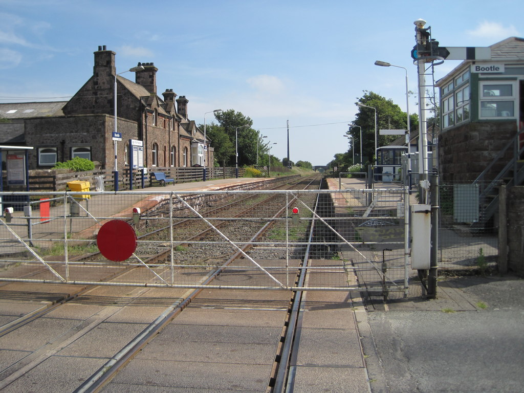
Bootle railway station
Bootle is a railway station on the Cumbrian Coast Line, which runs between Carlisle and Barrow-in-Furness. The station, situated 24 miles (39 km) north...
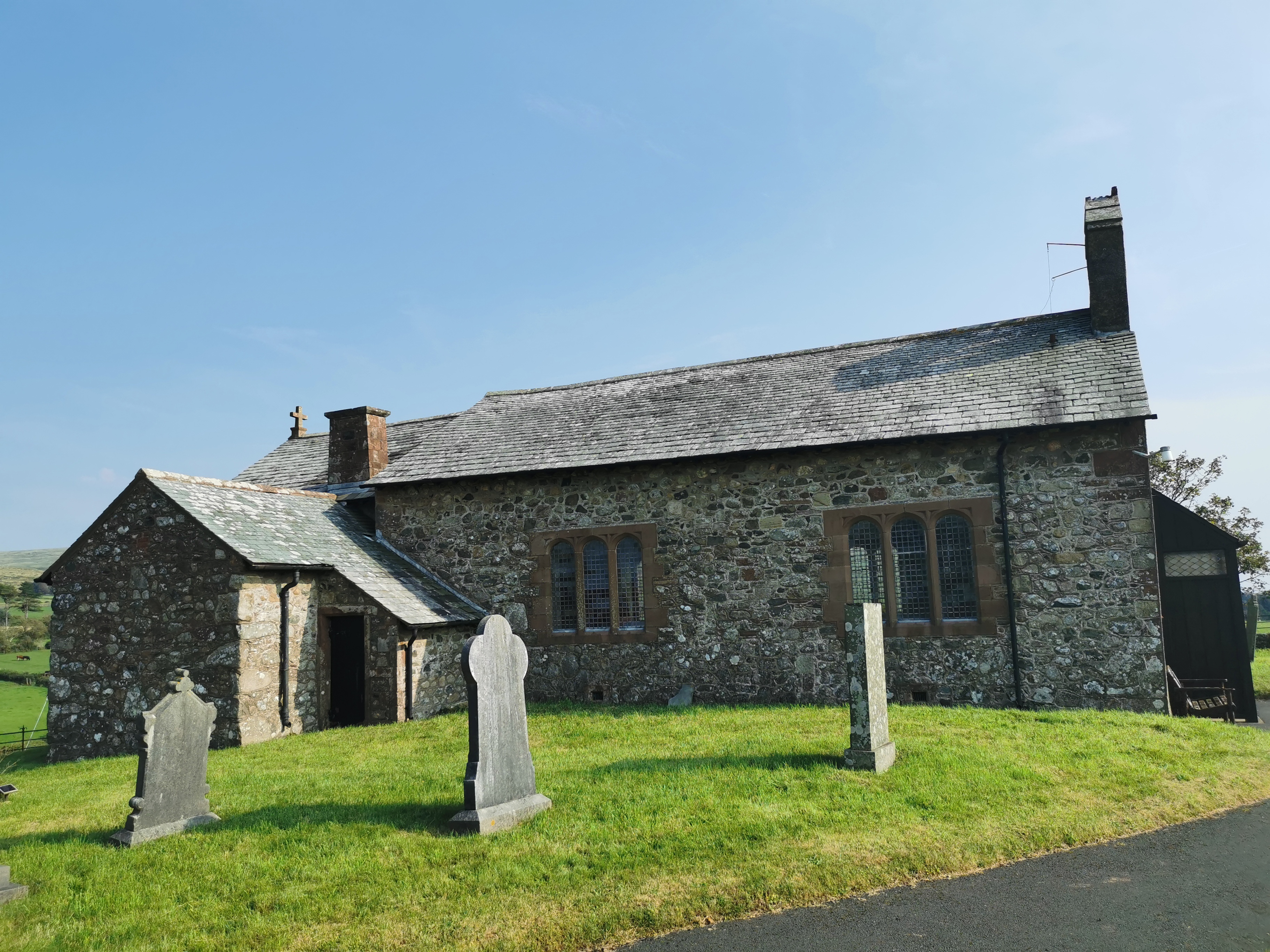
St John the Baptist, Corney
St John the Baptist, is in Corney, Cumbria, England. It is an Anglican parish church in the deanery of Calder, and the diocese of Carlisle. Its benefice...

River Annas
The River Annas is a minor river in Cumbria in northwest England. It is formed as the Kinmont Beck and Crookley Beck which drain the southwestern fells...
Nearby Amenities
Located within 500m of 54.290448,-3.3615229Have you been to Crackenthwaite Wood?
Leave your review of Crackenthwaite Wood below (or comments, questions and feedback).