Cleddon
Settlement in Monmouthshire
Wales
Cleddon

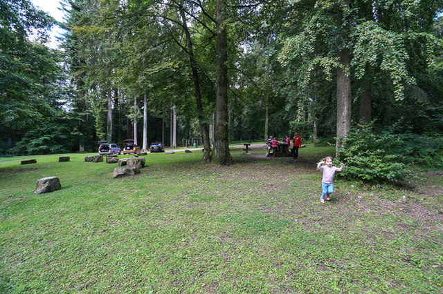
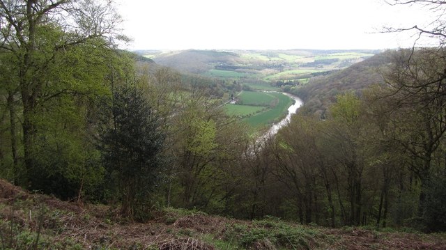
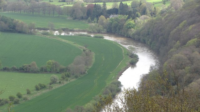
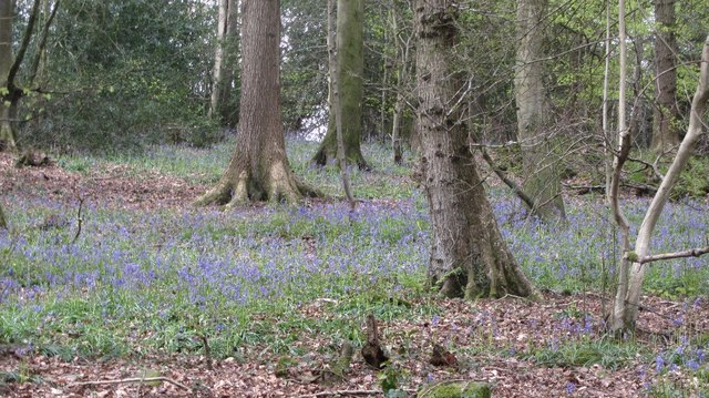
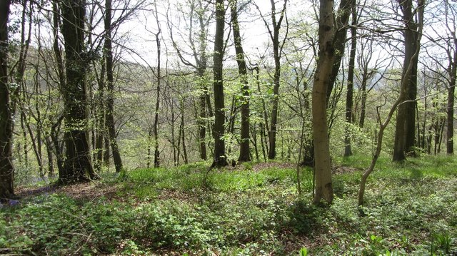
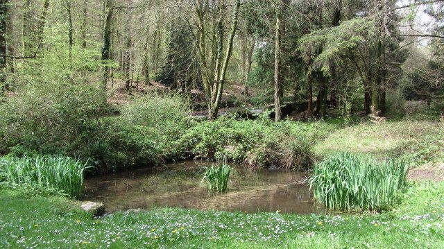
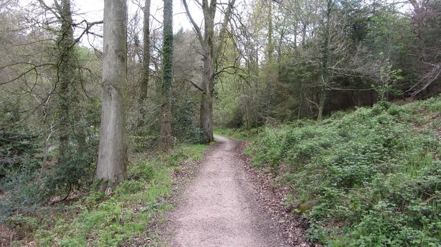
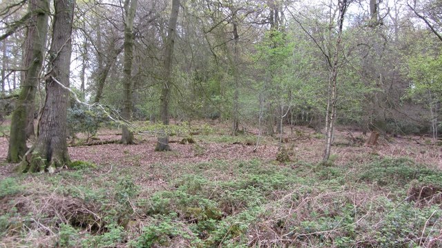
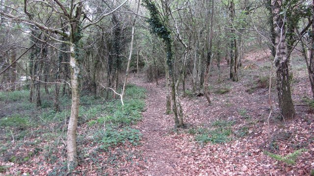
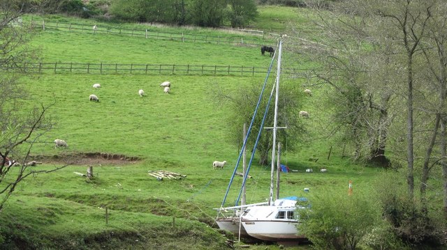
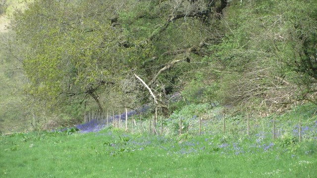
Cleddon is a small village located in the county of Monmouthshire, Wales. Situated on the eastern side of the River Wye, Cleddon is nestled within the scenic Wye Valley Area of Outstanding Natural Beauty. The village is surrounded by lush green countryside, rolling hills, and dense woodlands, making it a popular destination for nature enthusiasts and hikers.
The origins of Cleddon can be traced back to the medieval period when it was primarily an agricultural community. Today, it remains a rural village with a tight-knit community of residents. The village is known for its tranquil ambiance and picturesque landscapes, attracting visitors seeking a peaceful escape from urban life.
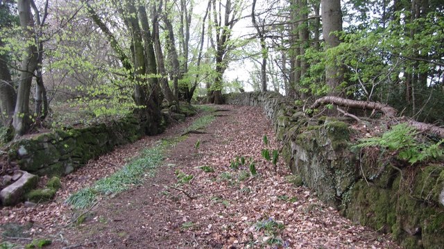
One of the notable landmarks in Cleddon is Cleddon Shoots, a series of majestic waterfalls cascading down a rocky gorge. This natural wonder is a popular spot for photographers and adventurers alike. Additionally, the surrounding woodlands provide ample opportunities for walking, bird-watching, and exploring the diverse flora and fauna.
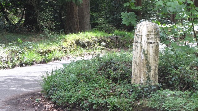
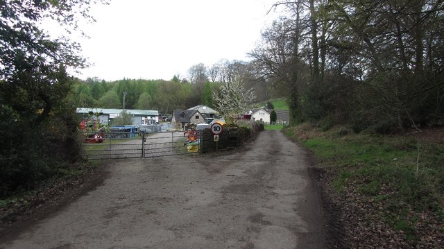
Despite its small size, Cleddon is conveniently located near other attractions in Monmouthshire. The historic town of Monmouth is only a short drive away, offering a range of amenities, including shops, restaurants, and cultural attractions. The nearby Wye Valley also provides opportunities for outdoor activities such as canoeing, fishing, and cycling.
In summary, Cleddon is a charming village in Monmouthshire, Wales, known for its natural beauty, serene atmosphere, and stunning waterfalls. It is a haven for those seeking a peaceful retreat in the heart of the Wye Valley.
If you have any feedback on the listing, please let us know in the comments section below.
Cleddon Images
Images are sourced within 2km of 51.732046/-2.699217 or Grid Reference SO5103. Thanks to Geograph Open Source API. All images are credited.


Cleddon is located at Grid Ref: SO5103 (Lat: 51.732046, Lng: -2.699217)
Unitary Authority: Monmouthshire
Police Authority: Gwent
What 3 Words
///lingering.longingly.timer. Near Tintern, Monmouthshire
Nearby Locations
Related Wikis

Cleddon Hall
Cleddon Hall, formerly known as Ravenscroft, is a 19th-century Victorian country house in Trellech, Monmouthshire, Wales. In the later 19th century it...

Llandogo
Llandogo (Welsh: Llaneuddogwy) is a small village in Monmouthshire, south Wales, between Monmouth and Chepstow in the lower reaches of the Wye Valley AONB...

Llandogo Halt railway station
Llandogo Halt was a request stop on the former Wye Valley Railway. It was opened on 9 March 1927 to serve the village of Llandogo. It was closed in 1959...

Church of St Oudoceus, Llandogo
The Church of St Oudoceus, Llandogo, Monmouthshire is a parish church built in 1859–1861. The church is dedicated to St Oudoceus (Euddogwy), an early Bishop...

Cleddon Bog
Cleddon Bog (grid reference SO509039) is a bog in the vice-county of Monmouthshire which has been notified as a biological Site of Special Scientific Interest...

Trellech United
Trellech United is a community and electoral ward in the county of Monmouthshire, Wales. It lies south of the county town of Monmouth next to the Wales...

Catbrook
Catbrook (Welsh: Catffrwd) is a village in Monmouthshire, south east Wales, United Kingdom. The population in 2011 was 412. == Location == Catbrook is...
Beacon Hill, Monmouthshire
Beacon Hill is the highest hill in eastern Monmouthshire, South Wales. It is located 0.6 miles (0.97 km) due east of the village of Trellech, and 1 mile...
Related Videos
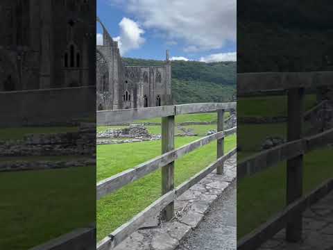
Tintern Abbey #travel #wyevalley #hiking #forest #adventure
Tintern abbey.


Mishaps hiking in wales
So we decided to vlog our hike in wales with joe w, floppy ross, tiny.t 16, smorga41, Luke hill and j hill. Edited by ...
Nearby Amenities
Located within 500m of 51.732046,-2.699217Have you been to Cleddon?
Leave your review of Cleddon below (or comments, questions and feedback).