Pitt Copse

Wood, Forest in Devon Mid Devon

England

Pitt Copse

Sampford Farm, Sampford Arundel
Sampford Farm, Sampford Arundel Credit: Jonathan Thacker

Pitt Copse is a picturesque woodland located in the county of Devon, England. Situated near the village of Pitt, the copse covers an area of approximately 50 acres and is a popular destination for nature lovers and outdoor enthusiasts.

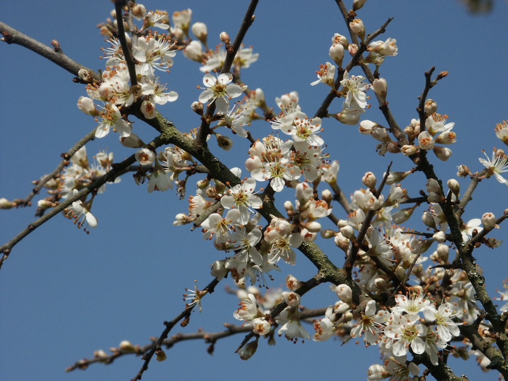
The copse is primarily composed of native broadleaf trees, including oak, beech, and ash, creating a diverse and vibrant ecosystem. The dense canopy provides a sheltered habitat for a variety of wildlife, making it an ideal spot for birdwatching and nature photography.

Tranquil and serene, Pitt Copse offers a peaceful escape from the hustle and bustle of everyday life. The well-maintained footpaths wind through the woods, allowing visitors to explore the beauty of the woodland at their own pace. The dappled sunlight filtering through the leaves creates a magical atmosphere, especially during the spring and summer months when the forest floor is adorned with a carpet of wildflowers.

Pitt Copse is also home to a small stream that meanders through the woods, adding to the charm and tranquility of the area. The babbling sound of the water provides a soothing backdrop to the sounds of nature.

Visitors to Pitt Copse can enjoy a range of recreational activities, including hiking, picnicking, and wildlife spotting. The copse is open to the public year-round and is particularly popular during the autumn months when the trees display a stunning array of colors.

Overall, Pitt Copse is a hidden gem in Devon, offering a serene and enchanting woodland experience for nature enthusiasts and those seeking a peaceful retreat in the heart of nature.

If you have any feedback on the listing, please let us know in the comments section below.
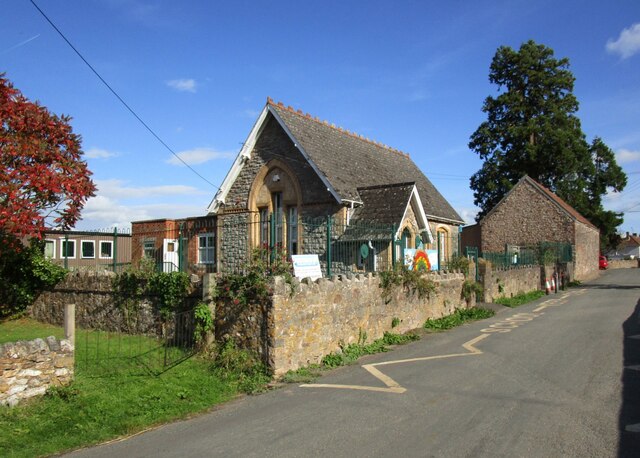
Pitt Copse Images

Images are sourced within 2km of 50.945609/-3.26463 or Grid Reference ST1117. Thanks to Geograph Open Source API. All images are credited.

Sampford Farm, Sampford Arundel
Sampford Arundel Primary School
Churchyard gates, Sampford Arundel Commemorate Queen Victoria's Diamond Jubilee 1897 <span class="nowrap"><a title="https://historicengland.org.uk/listing/the-list/list-entry/1344595?section=official-list-entry" rel="nofollow ugc noopener" href="https://historicengland.org.uk/listing/the-list/list-entry/1344595?section=official-list-entry">Link</a><img style="margin-left:2px;" alt="External link" title="External link - shift click to open in new window" src="https://s1.geograph.org.uk/img/external.png" width="10" height="10"/></span>
Churchyard gates, Sampford Arundel
Commemorate Queen Victoria's Diamond Jubilee 1897 LinkExternal link
War memorial, Sampford Arundel Erected in 1921 <span class="nowrap"><a title="https://historicengland.org.uk/listing/the-list/list-entry/1436144?section=official-list-entry" rel="nofollow ugc noopener" href="https://historicengland.org.uk/listing/the-list/list-entry/1436144?section=official-list-entry">Link</a><img style="margin-left:2px;" alt="External link" title="External link - shift click to open in new window" src="https://s1.geograph.org.uk/img/external.png" width="10" height="10"/></span>
War memorial, Sampford Arundel
Erected in 1921 LinkExternal link
Church of the Holy Cross, Sampford Arundel The tower dates from the fifteenth century, most of the rest was rebuilt in the 1870s <span class="nowrap"><a title="https://historicengland.org.uk/listing/the-list/list-entry/1178017?section=official-list-entry" rel="nofollow ugc noopener" href="https://historicengland.org.uk/listing/the-list/list-entry/1178017?section=official-list-entry">Link</a><img style="margin-left:2px;" alt="External link" title="External link - shift click to open in new window" src="https://s1.geograph.org.uk/img/external.png" width="10" height="10"/></span>
Church of the Holy Cross, Sampford Arundel
The tower dates from the fifteenth century, most of the rest was rebuilt in the 1870s LinkExternal link
The churchyard, Sampford Arundel
Barn at Sampford Arundel
Field off Lane End
Field off Lane End
Culmstock: lane near Beacon Cross Riders approach the crossroads from Nicholashayne, on the edge of the Blackdowns near Culmstock Beacon
Culmstock: lane near Beacon Cross
Riders approach the crossroads from Nicholashayne, on the edge of the Blackdowns near Culmstock Beacon
Sampford Arundel: entrance to Burcombe Mill Now a private house. Near Whiteball Tunnel. Looking south east
Sampford Arundel: entrance to Burcombe Mill
Now a private house. Near Whiteball Tunnel. Looking south east
Culmstock: North End View towards Black Down Common and Culm Davy Hill. The pasture has recently had a roller run over it
Culmstock: North End
View towards Black Down Common and Culm Davy Hill. The pasture has recently had a roller run over it
Culmstock: Somerset border The M5 as it passes out of Devon and into Somerset. The Somerset parish beyond the sign is Sampford Arundel. Looking north east
Culmstock: Somerset border
The M5 as it passes out of Devon and into Somerset. The Somerset parish beyond the sign is Sampford Arundel. Looking north east
Sampford Arundel: The Blue Ball, Sampford Moor The blue ball signifies land owned by the Courtenay family, the Earls of Devon. Looking north east. Another Blue Ball inn not too far distant is at Triscombe, Crowcombe, on the Quantocks. Licensees here in 2006 are Adrian G Reigate and Frances R Bradshaw.
Sampford Arundel: The Blue Ball, Sampford Moor
The blue ball signifies land owned by the Courtenay family, the Earls of Devon. Looking north east. Another Blue Ball inn not too far distant is at Triscombe, Crowcombe, on the Quantocks. Licensees here in 2006 are Adrian G Reigate and Frances R Bradshaw.
View to Easterlands
View to Easterlands
Willow Sheep Near Pleamore Cross
Willow Sheep
Near Pleamore Cross
Field looking towards the Wellington Monument
Lane to Sampford Moor
Wellington: by Wrangacombe Road View north east towards the town. The M5 can be glimpsed about four fields away from the camera. The Quantocks are the hills in the background
Wellington: by Wrangacombe Road
View north east towards the town. The M5 can be glimpsed about four fields away from the camera. The Quantocks are the hills in the background
Show me another place!

Pitt Copse is located at Grid Ref: ST1117 (Lat: 50.945609, Lng: -3.26463)

Administrative County: Devon

District: Mid Devon

Police Authority: Devon and Cornwall

What 3 Words

///coherent.ranged.foot. Near Hemyock, Devon

Related Wikis

Black Down and Sampford Commons

Black Down and Sampford Commons (grid reference ST118161) is a 155.2-hectare (384-acre) biological Site of Special Scientific Interest in Devon and Somerset...

Sampford Arundel

Sampford Arundel is a village and civil parish in Somerset, England. It is situated near Wellington and 10 miles (16.1 km) south west of Taunton. The village...

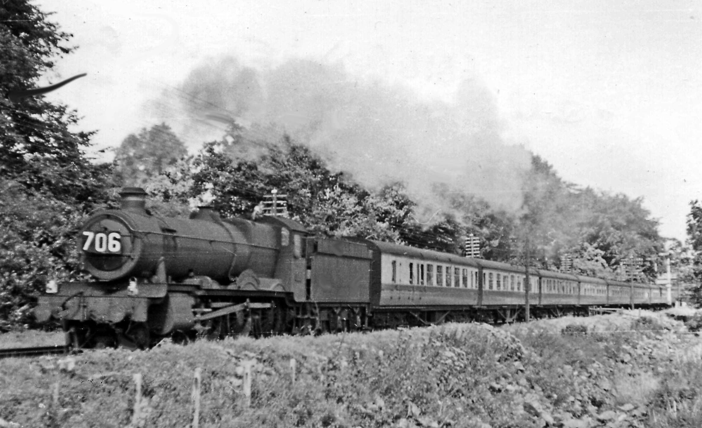
Wellington Bank, Somerset

Wellington Bank is a steep railway embankment and associated climb located on the Bristol to Exeter line, that climbs from just northeast of Wellington...

Culm Davy

Culm Davy is a historic manor and present-day hamlet within the parish of Hemyock in Devon. == History == The estate of Cumbe is listed in the Domesday...

Culmstock

Culmstock is a village and civil parish in Mid Devon, England, centred 10 miles from Tiverton and 6 NE of Cullompton. It is laid out on both sides of the...

Blackdown Hills

The Blackdown Hills are a range of hills along the Somerset-Devon border in south-western England, which were designated an Area of Outstanding Natural...

Wellington Monument, Somerset

The Wellington Monument is a 175-foot-high (53 m) triangular obelisk located on a point of the Blackdown Hills, 3 km (1.9 miles) south of Wellington in...

Wellington Rural District, Somerset

Wellington was a rural district in Somerset, England, from 1894 to 1974. It was created in 1894 under the Local Government Act 1894. In 1974 it was abolished...

Nearby Amenities

Located within 500m of 50.945609,-3.26463
Tourism: viewpoint
Lat/Long: 50.9438705/-3.2618492
Power: pole
Source: bing
Lat/Long: 50.9427541/-3.2674603
Power: pole
Source: bing
Transformer: distribution
Lat/Long: 50.9422437/-3.2639292
Power: pole
Source: bing
Lat/Long: 50.9423773/-3.2652783
Power: pole
Source: bing
Lat/Long: 50.942504/-3.2667187
Power: pole
Source: bing
Lat/Long: 50.9429755/-3.2687303
Power: pole
Source: bing
Lat/Long: 50.9431952/-3.2699588
The data included in this document is from www.openstreetmap.org. The data is made available under ODbL.

Have you been to Pitt Copse?

Leave your review of Pitt Copse below (or comments, questions and feedback).