Pitt Orchard Copse
Wood, Forest in Devon Mid Devon
England
Pitt Orchard Copse

Pitt Orchard Copse is a picturesque woodland located in the county of Devon, England. Spread across an area of approximately 50 acres, this enchanting forest offers a tranquil escape from the hustle and bustle of urban life. Situated near the village of Pitt, the copse is easily accessible and attracts nature enthusiasts, hikers, and wildlife lovers alike.
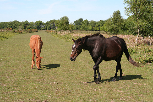
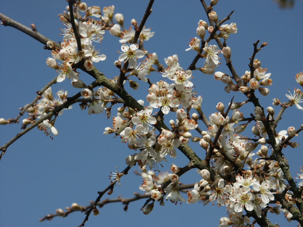
The copse is predominantly composed of deciduous trees, including oak, beech, and ash, which create a dense canopy overhead. This lush vegetation provides a haven for a variety of bird species, such as woodpeckers, thrushes, and warblers. Additionally, the woodland is home to a diverse range of small mammals, including foxes, badgers, and deer.
A network of well-maintained footpaths winds through Pitt Orchard Copse, allowing visitors to explore its natural beauty at their leisure. The paths lead to various viewpoints, offering stunning vistas of the surrounding countryside. The copse is particularly popular in the spring when the forest floor is adorned with a vibrant carpet of bluebells, creating a breathtaking sight.
The management of Pitt Orchard Copse focuses on ecological preservation and conservation. The area is carefully monitored and managed to ensure the survival of its diverse flora and fauna. Local conservation groups often organize guided tours and educational programs to raise awareness about the importance of protecting this valuable ecosystem.
Whether it is a leisurely stroll, a birdwatching expedition, or simply a peaceful retreat, Pitt Orchard Copse provides a serene and captivating woodland experience for all who visit.
If you have any feedback on the listing, please let us know in the comments section below.
Pitt Orchard Copse Images
Images are sourced within 2km of 50.943122/-3.2650749 or Grid Reference ST1116. Thanks to Geograph Open Source API. All images are credited.


Pitt Orchard Copse is located at Grid Ref: ST1116 (Lat: 50.943122, Lng: -3.2650749)
Administrative County: Devon
District: Mid Devon
Police Authority: Devon and Cornwall
What 3 Words
///encourage.rave.outbursts. Near Hemyock, Devon
Related Wikis
Black Down and Sampford Commons
Black Down and Sampford Commons (grid reference ST118161) is a 155.2-hectare (384-acre) biological Site of Special Scientific Interest in Devon and Somerset...

Sampford Arundel
Sampford Arundel is a village and civil parish in Somerset, England. It is situated near Wellington and 10 miles (16.1 km) south west of Taunton. The village...

Culm Davy
Culm Davy is a historic manor and present-day hamlet within the parish of Hemyock in Devon. == History == The estate of Cumbe is listed in the Domesday...

Culmstock
Culmstock is a village and civil parish in Mid Devon, England, centred 10 miles from Tiverton and 6 NE of Cullompton. It is laid out on both sides of the...
Wellington Bank, Somerset
Wellington Bank is a steep railway embankment and associated climb located on the Bristol to Exeter line, that climbs from just northeast of Wellington...

Blackdown Hills
The Blackdown Hills are a range of hills along the Somerset-Devon border in south-western England, which were designated an Area of Outstanding Natural...

Wellington Monument, Somerset
The Wellington Monument is a 175-foot-high (53 m) triangular obelisk located on a point of the Blackdown Hills, 3 km (1.9 miles) south of Wellington in...

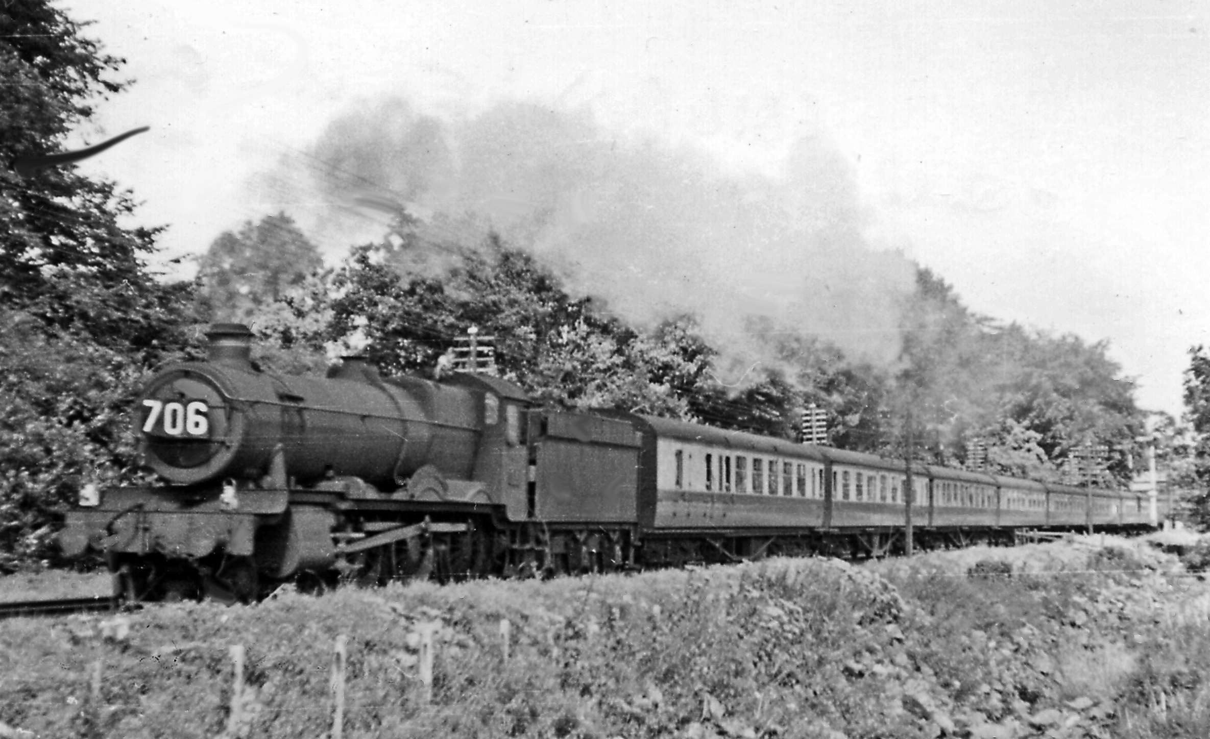
Whitehall Halt railway station
Whitehall Halt railway station existed on the Culm Valley Light Railway in Devon, England, from 1933 to 1963. == History == The station was opened on 27...
Nearby Amenities
Located within 500m of 50.943122,-3.2650749Have you been to Pitt Orchard Copse?
Leave your review of Pitt Orchard Copse below (or comments, questions and feedback).