Greengate Wood

Wood, Forest in Cumberland Copeland

England

Greengate Wood

Whitecroft, Santon Santon is a tiny hamlet about half a mile from Santon Bridge on the road to Gosforth. This row of cottages, which includes holiday lets, is the most prominent building.
Whitecroft, Santon Credit: Stephen McKay

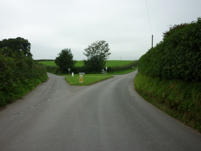
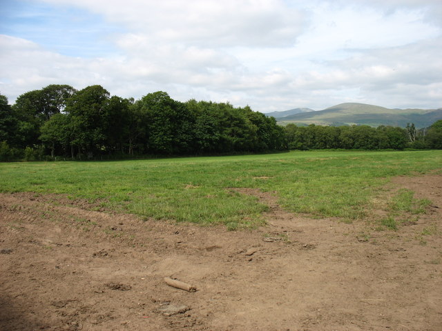
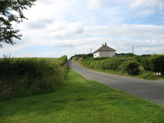
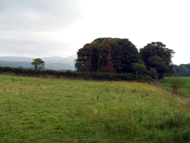
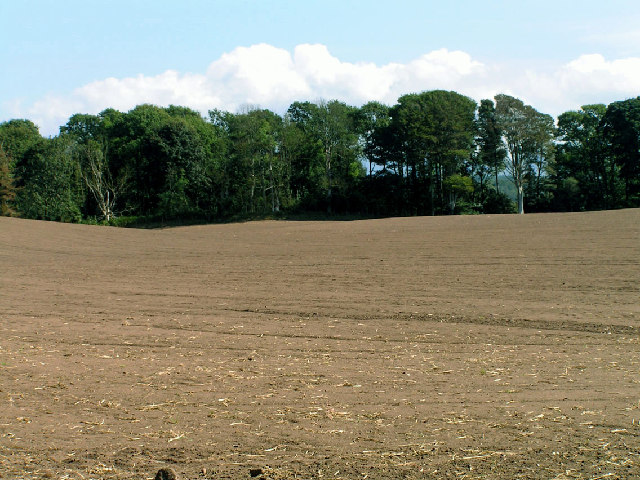
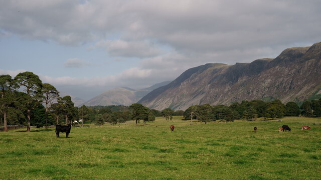
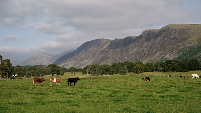
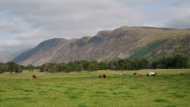
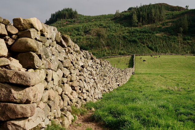
Greengate Wood, located in Cumberland, England, is a picturesque forest that spans over a vast area of land. The wood is characterized by its dense canopy cover, composed of a variety of tree species, creating a serene and tranquil atmosphere. It is a popular destination for nature enthusiasts, hikers, and birdwatchers who seek to immerse themselves in the beauty of the natural surroundings.

The woodland is home to a diverse range of flora and fauna, making it a haven for wildlife. Visitors may come across enchanting bluebells, vibrant wildflowers, and towering oak trees as they explore the trails that meander through the forest. The wood is also known for its rich biodiversity, with various bird species such as woodpeckers, thrushes, and owls inhabiting the area. Lucky visitors might even catch a glimpse of deer or foxes roaming through the undergrowth.

The management of Greengate Wood is focused on preserving its natural beauty and protecting its inhabitants. Efforts are taken to maintain the balance of the ecosystem, ensuring the sustainability of the woodland. The wood is open to the public, welcoming visitors to enjoy its peaceful ambiance and discover the wonders of nature.

Overall, Greengate Wood in Cumberland offers a serene retreat for those seeking to escape the bustling city life and immerse themselves in the tranquility of nature. With its diverse flora and fauna, it provides an ideal setting for outdoor enthusiasts to explore, relax, and reconnect with the natural world.

If you have any feedback on the listing, please let us know in the comments section below.

Greengate Wood Images

Images are sourced within 2km of 54.409139/-3.3697522 or Grid Reference NY1102. Thanks to Geograph Open Source API. All images are credited.

Whitecroft, Santon Santon is a tiny hamlet about half a mile from Santon Bridge on the road to Gosforth. This row of cottages, which includes holiday lets, is the most prominent building.
Whitecroft, Santon
Santon is a tiny hamlet about half a mile from Santon Bridge on the road to Gosforth. This row of cottages, which includes holiday lets, is the most prominent building.
Road junction in Santon
The road junction at Santon
Fields near Santon
Fields near Santon
Leaving Santon village On the road to Gosforth.
Leaving Santon village
On the road to Gosforth.
Open country and woodland, Wasdale This photo was taken near the intriguingly named 'Sorrowstones'. The hills around Wasdale are visible behind.
Open country and woodland, Wasdale
This photo was taken near the intriguingly named 'Sorrowstones'. The hills around Wasdale are visible behind.
Prepared Field View across open fields near Santon Bridge
Prepared Field
View across open fields near Santon Bridge
Wasdale View Looking towards The Screes from behind the wall boundary.
Wasdale View
Looking towards The Screes from behind the wall boundary.
Wasdale View Looking towards The Screes from behind the wall boundary.
Wasdale View
Looking towards The Screes from behind the wall boundary.
Wasdale View Looking towards The Screes from behind the wall boundary.
Wasdale View
Looking towards The Screes from behind the wall boundary.
Wasdale Wall Looking towards the road which leads to Nether Wasdale.
Wasdale Wall
Looking towards the road which leads to Nether Wasdale.
Wasdale Wall Looking in the direction of Latterbarrow. A plantation of diseased larch was felled in 2013 and subsequently re-planted (probably spruce).
Wasdale Wall
Looking in the direction of Latterbarrow. A plantation of diseased larch was felled in 2013 and subsequently re-planted (probably spruce).
The Bridge Inn, Santon Bridge Early morning on a thoroughly dismal day (although it was to brighten up later), but the lights of the Bridge Inn, an old coaching stop, make it look welcoming. Inside guests will be tucking in to a full 'Cumbrian breakfast'. This is the venue for the annual World's Biggest Liar competition, as a plaque on the wall tells us.
The Bridge Inn, Santon Bridge
Early morning on a thoroughly dismal day (although it was to brighten up later), but the lights of the Bridge Inn, an old coaching stop, make it look welcoming. Inside guests will be tucking in to a full 'Cumbrian breakfast'. This is the venue for the annual World's Biggest Liar competition, as a plaque on the wall tells us.
Whitecroft, Santon Bridge This is the lane that connects the hamlets of Santon and Santon Bridge, just over half a mile apart. The Bridge Inn is behind the photographer.
Whitecroft, Santon Bridge
This is the lane that connects the hamlets of Santon and Santon Bridge, just over half a mile apart. The Bridge Inn is behind the photographer.
Home of the World's Biggest Liar Competition This plaque is fixed to the Bridge Inn, venue for one of the more obscure world sporting events. Held in November each year, it commemorates a local 19th century publican, Will Ritson who was known for his tall tales. Contestants have to stand up in front of the often well-oiled audience and tell their stories - the best of whom is judged the winner.
Home of the World's Biggest Liar Competition
This plaque is fixed to the Bridge Inn, venue for one of the more obscure world sporting events. Held in November each year, it commemorates a local 19th century publican, Will Ritson who was known for his tall tales. Contestants have to stand up in front of the often well-oiled audience and tell their stories - the best of whom is judged the winner.
Signpost at Santon Bridge This signpost, which could do with some sprucing up, points the way at the junction just east of the bridge over the River Irt.
Signpost at Santon Bridge
This signpost, which could do with some sprucing up, points the way at the junction just east of the bridge over the River Irt.
The Bridge Inn, Santon Bridge The day was dismal and wet but at least this old coaching inn adds a touch of brightness.
The Bridge Inn, Santon Bridge
The day was dismal and wet but at least this old coaching inn adds a touch of brightness.
The Malkinson Memorial Beside the road from Eskdale Green to Santon Bridge, this small stone memorial bears the following inscription:
'In memory of William Malkinson
Wesleyan Local Preacher
Died here suddenly Sunday Feb 21 1886
Be ye also ready'
The Malkinson Memorial
Beside the road from Eskdale Green to Santon Bridge, this small stone memorial bears the following inscription: 'In memory of William Malkinson Wesleyan Local Preacher Died here suddenly Sunday Feb 21 1886 Be ye also ready'
Show me another place!

Greengate Wood is located at Grid Ref: NY1102 (Lat: 54.409139, Lng: -3.3697522)

Administrative County: Cumbria

District: Copeland

Police Authority: Cumbria

What 3 Words

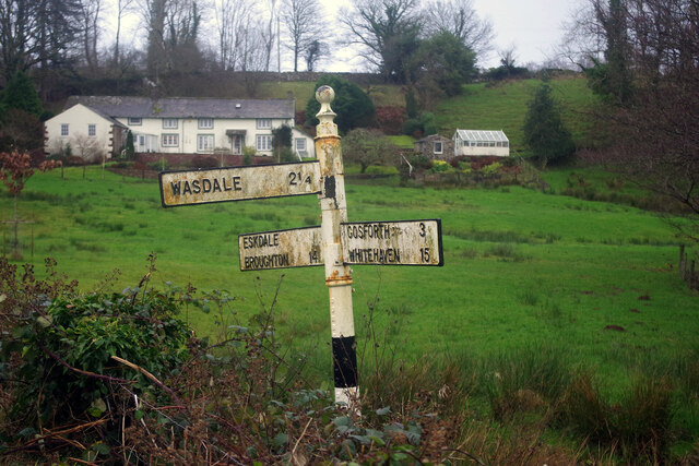
///splints.long.salmon. Near Seascale, Cumbria

Related Wikis

Irton with Santon

Irton with Santon is a civil parish in Copeland, Cumbria, England, which includes the village of Santon Bridge. It has a parish council. It had a population...

Santon Bridge

Santon Bridge is a small village in Copeland, Cumbria, England, at a bridge over the River Irt. The civil parish is called Irton with Santon. The population...

Irton Pike

Irton Pike is a hill in the west of the English Lake District, near Santon Bridge, Cumbria. It is the subject of a chapter of Alfred Wainwright's book...

River Bleng

The River Bleng is a tributary of the River Irt in the county of Cumbria in northern England.The river gives its name to the valley that it flows through...

Nether Wasdale

Nether Wasdale is a village in Cumbria, England, located in the valley and civil parish of Wasdale, near the River Irt and just over a mile to the west...

St Michael & All Angels, Nether Wasdale

St Michael & All Angels' Church in Nether Wasdale, Cumbria, England, is an active Anglican parish church in the deanery of Calder, and the diocese of Carlisle...

Wasdale

Wasdale (; traditionally ) is a valley and civil parish in the western part of the Lake District National Park in Cumbria, England. The River Irt flows...

Wasdale, Eskdale and Duddon

Wasdale, Eskdale and Duddon is an area of protected countryside, now held as National Trust property: it is part of the Lake District, located in south...

Nearby Amenities

Located within 500m of 54.409139,-3.3697522
Barrier: stile
Material: wood
Source: survey;bing;gps
Stile: stepover
Lat/Long: 54.4059488/-3.3734769
Gill House
Place: locality
Lat/Long: 54.408098/-3.3636813
Ford: yes
Lat/Long: 54.4054938/-3.3697209
Power: pole
Lat/Long: 54.4056816/-3.3745886
Power: pole
Lat/Long: 54.4064458/-3.3754365
Power: pole
Lat/Long: 54.4071778/-3.3762559
Power: pole
Lat/Long: 54.407922/-3.3770791
The data included in this document is from www.openstreetmap.org. The data is made available under ODbL.

Have you been to Greengate Wood?

Leave your review of Greengate Wood below (or comments, questions and feedback).