Bartle Plantation

Wood, Forest in Cumberland Allerdale

England

Bartle Plantation

Minor road towards Deanscales
Minor road towards Deanscales Credit: Steven Brown

Bartle Plantation, located in Cumberland, is a sprawling wood and forest area that spans over several acres. This picturesque plantation is known for its serene and tranquil ambiance, making it a popular destination for nature enthusiasts and outdoor lovers.

The plantation boasts a diverse range of plant species, including towering oak and pine trees that provide a lush canopy. The forest floor is covered in a thick carpet of moss and ferns, adding to the enchanting atmosphere. The plantation is also home to various wildlife, such as deer, birds, and squirrels, making it an ideal spot for birdwatching and wildlife observation.

Visitors to Bartle Plantation can explore the numerous walking trails that wind through the woodland. These well-maintained paths offer a chance to immerse oneself in nature and enjoy the peaceful surroundings. The plantation also features picnic areas, where visitors can relax and enjoy a meal amidst the natural beauty.

In addition to its recreational opportunities, Bartle Plantation plays a crucial role in conservation efforts. The plantation is actively involved in sustainable forestry practices, ensuring the preservation of the woodland ecosystem for future generations.

Overall, Bartle Plantation in Cumberland is a haven for nature lovers, offering a serene escape from the hustle and bustle of daily life. Its breathtaking beauty, diverse flora and fauna, and commitment to conservation make it an exceptional destination for those seeking a tranquil and immersive forest experience.

If you have any feedback on the listing, please let us know in the comments section below.

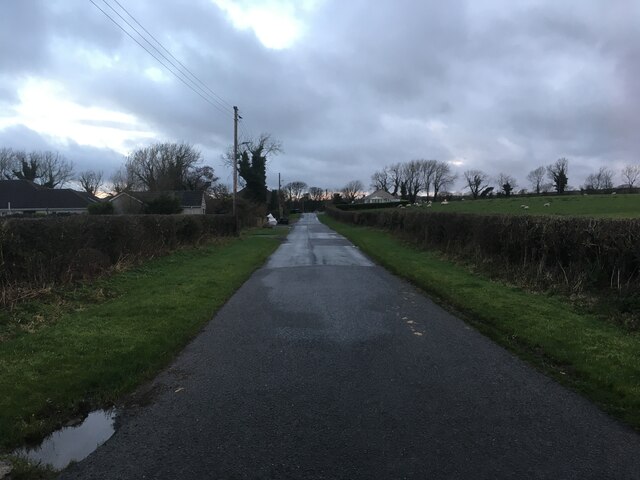
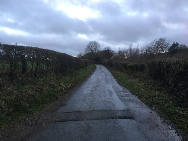
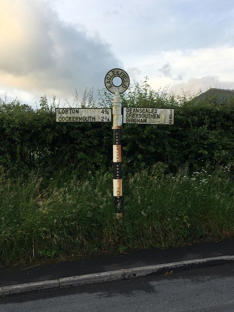
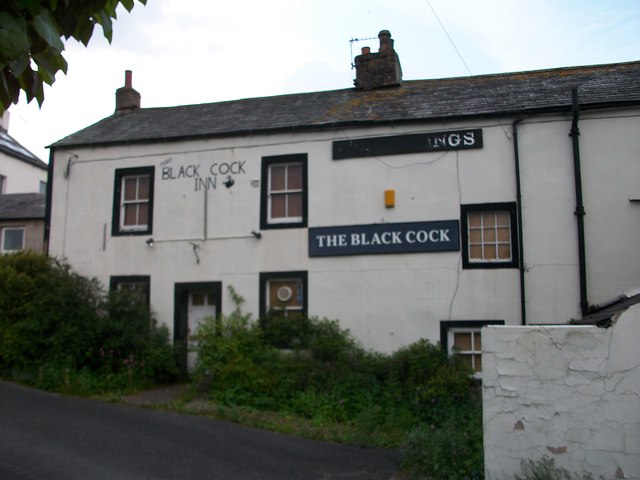
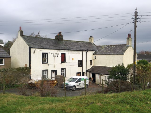
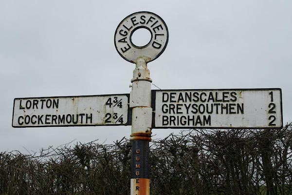
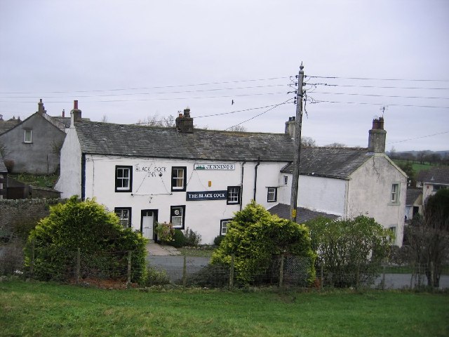
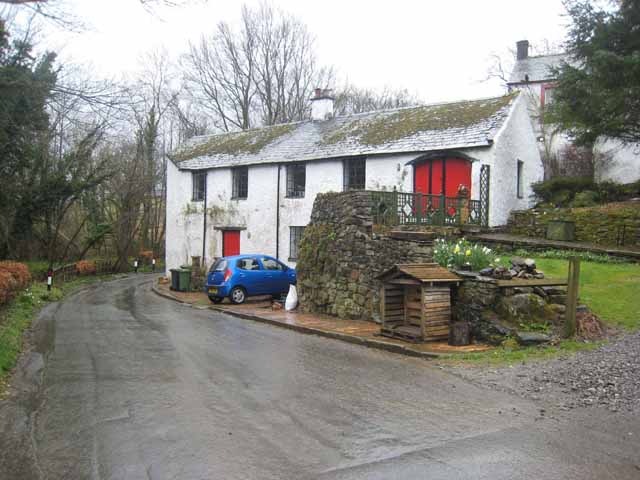
Bartle Plantation Images

Images are sourced within 2km of 54.627448/-3.3850108 or Grid Reference NY1026. Thanks to Geograph Open Source API. All images are credited.

Minor road towards Deanscales
Minor road near Deanscales
Trig pillar on Crag Hill
Direction Sign – Signpost in Eaglesfield Located on the south side of the T junction in Eaglesfield, Dean parish. 2 arms and annulus finial. See also <span class="nowrap"><a title="http://www.geog.port.ac.uk/webmap/thelakes/photos/bwa65.jpg" rel="nofollow ugc noopener" href="http://www.geog.port.ac.uk/webmap/thelakes/photos/bwa65.jpg">Link</a><img style="margin-left:2px;" alt="External link" title="External link - shift click to open in new window" src="https://s1.geograph.org.uk/img/external.png" width="10" height="10"/></span>.

Milestone Society National ID: CU_NY0928
Direction Sign – Signpost in Eaglesfield
Located on the south side of the T junction in Eaglesfield, Dean parish. 2 arms and annulus finial. See also LinkExternal link. Milestone Society National ID: CU_NY0928
The Old Posting House near Deanscales
A field above Pardshaw
Black Cock Inn (former) "John Holmes" picture of 2005 showed this pub as a welcoming place serving ales & good grub, but now it is quite the opposite. The only things thriving here are the brambles growing over the door & windows.
Black Cock Inn (former)
"John Holmes" picture of 2005 showed this pub as a welcoming place serving ales & good grub, but now it is quite the opposite. The only things thriving here are the brambles growing over the door & windows.
Entering Eaglesfield from the East Looking along the minor country road which becomes the main street through Eaglesfield. The small village is located to the south west of Cockermouth.
Entering Eaglesfield from the East
Looking along the minor country road which becomes the main street through Eaglesfield. The small village is located to the south west of Cockermouth.
Entrance into Hollins Farm, Eaglesfield Looking through the gate into the steading of Hollins Farm on the outskirts of Eaglesfield. The sun has broken through a small gap in the clouds and is reflecting off the wet concrete of the farmyard.
Entrance into Hollins Farm, Eaglesfield
Looking through the gate into the steading of Hollins Farm on the outskirts of Eaglesfield. The sun has broken through a small gap in the clouds and is reflecting off the wet concrete of the farmyard.
Hollins Farm, Eaglesfield Looking across a grass paddock towards the buildings at Hollins Farm. The buildings of the farm appear to be laid out in a linear fashion leading away from the road up the hillside.
Hollins Farm, Eaglesfield
Looking across a grass paddock towards the buildings at Hollins Farm. The buildings of the farm appear to be laid out in a linear fashion leading away from the road up the hillside.
The former Black Cock Inn, Eaglesfield The former Black Cock Inn in Eaglesfield. The long established pub closed in 2010 following the death of its long serving landlady. In 2013 a planning application was submitted to the local council to convert the pub into 2 dwellings and that work appears to be in progress here. A link to a local newspaper article detailing the pubs sad demise can be found here: <span class="nowrap"><a title="http://www.newsandstar.co.uk/news/plan-to-turn-cumbrian-pub-into-houses-1.1099742" rel="nofollow ugc noopener" href="http://www.newsandstar.co.uk/news/plan-to-turn-cumbrian-pub-into-houses-1.1099742">Link</a><img style="margin-left:2px;" alt="External link" title="External link - shift click to open in new window" src="https://s1.geograph.org.uk/img/external.png" width="10" height="10"/></span>
The former Black Cock Inn, Eaglesfield
The former Black Cock Inn in Eaglesfield. The long established pub closed in 2010 following the death of its long serving landlady. In 2013 a planning application was submitted to the local council to convert the pub into 2 dwellings and that work appears to be in progress here. A link to a local newspaper article detailing the pubs sad demise can be found here: LinkExternal link
Phone box and post box, Eaglesfield A public telephone box, post box and litter bin stand next to each other beside the road in the centre of Eaglesfield.
Phone box and post box, Eaglesfield
A public telephone box, post box and litter bin stand next to each other beside the road in the centre of Eaglesfield.
Eaglesfield village scene A scene in the centre of Eaglesfield showing a grassed area in the foreground and a community noticeboard. A post box and telephone box are located further up the road which is lined with a range of different houses.
Eaglesfield village scene
A scene in the centre of Eaglesfield showing a grassed area in the foreground and a community noticeboard. A post box and telephone box are located further up the road which is lined with a range of different houses.
West Croft Farm, Eaglesfield A livestock farm on the edge of the village of Eaglesfield.
West Croft Farm, Eaglesfield
A livestock farm on the edge of the village of Eaglesfield.
The drive to Dubbs Farm
Mirk Lane heading north-east The minor public road, north of Fellbarrow, with a light snow covering following the crossing of Storm Arwen the night before.
Mirk Lane heading north-east
The minor public road, north of Fellbarrow, with a light snow covering following the crossing of Storm Arwen the night before.
Direction Sign - Signpost Located on the north side of the junction at Randle Cross, in Blindbothel parish. 1 arm and pawn finial. See also <span class="nowrap"><a title="http://www.geog.port.ac.uk/webmap/thelakes/photos/bwc51.jpg" rel="nofollow ugc noopener" href="http://www.geog.port.ac.uk/webmap/thelakes/photos/bwc51.jpg">Link</a><img style="margin-left:2px;" alt="External link" title="External link - shift click to open in new window" src="https://s1.geograph.org.uk/img/external.png" width="10" height="10"/></span> and <a title="https://www.geograph.org.uk/photo/78535" href="https://www.geograph.org.uk/photo/78535">Link</a>.

Milestone Society National ID: CU_NY1127
Direction Sign - Signpost
Located on the north side of the junction at Randle Cross, in Blindbothel parish. 1 arm and pawn finial. See also LinkExternal link and Link. Milestone Society National ID: CU_NY1127
The Black Cock Inn Eaglesfield. Award winning pub for its real ale.
The Black Cock Inn Eaglesfield.
Award winning pub for its real ale.
Show me another place!

Bartle Plantation is located at Grid Ref: NY1026 (Lat: 54.627448, Lng: -3.3850108)

Administrative County: Cumbria

District: Allerdale

Police Authority: Cumbria

What 3 Words

///rested.points.tucked. Near Cockermouth, Cumbria

Related Wikis

Deanscales

Deanscales is a hamlet in the county of Cumbria, England. Nearby settlements include the village of Dean and the town of Cockermouth. Deanscales is on...

Blindbothel

Blindbothel is a village and civil parish in Cumbria, England. It is on the edge of the Lake District National Park, and is a couple of miles south of...

Brandlingill

Brandlingill is a village in Cumbria, England.

Eaglesfield, Cumbria

Eaglesfield is a village in the parish of Dean in Cumberland in Cumbria, England. It is near the A5086 road, 2.5 miles (4 km) southwest of Cockermouth...

Nearby Amenities

Located within 500m of 54.627448,-3.3850108
White Causeway
Place: locality
Lat/Long: 54.6247241/-3.389535
Power: pole
Lat/Long: 54.6276171/-3.381981
Power: pole
Lat/Long: 54.6285587/-3.382137
Power: pole
Lat/Long: 54.6294147/-3.382054
Power: pole
Lat/Long: 54.6305087/-3.3819385
Power: pole
Lat/Long: 54.6308781/-3.3814949
Power: pole
Lat/Long: 54.6306623/-3.3838953
Power: pole
Lat/Long: 54.6308183/-3.3858399
Power: pole
Lat/Long: 54.6309039/-3.3870249
Power: pole
Lat/Long: 54.6306506/-3.3806218
The data included in this document is from www.openstreetmap.org. The data is made available under ODbL.

Have you been to Bartle Plantation?

Leave your review of Bartle Plantation below (or comments, questions and feedback).