Clearwell
Settlement in Monmouthshire
Wales
Clearwell
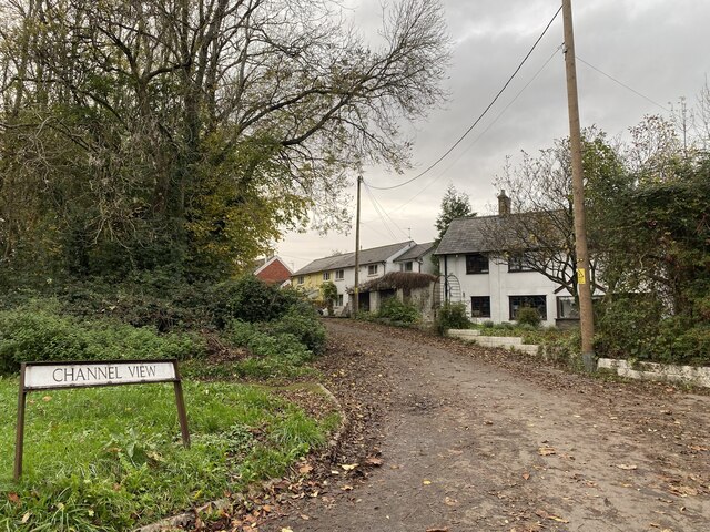
Clearwell is a small village located in the county of Monmouthshire, Wales. Situated in the beautiful Wye Valley, it is surrounded by picturesque countryside and is known for its natural charm and tranquility. The village is nestled on the eastern bank of the River Wye, providing stunning views and a peaceful atmosphere.
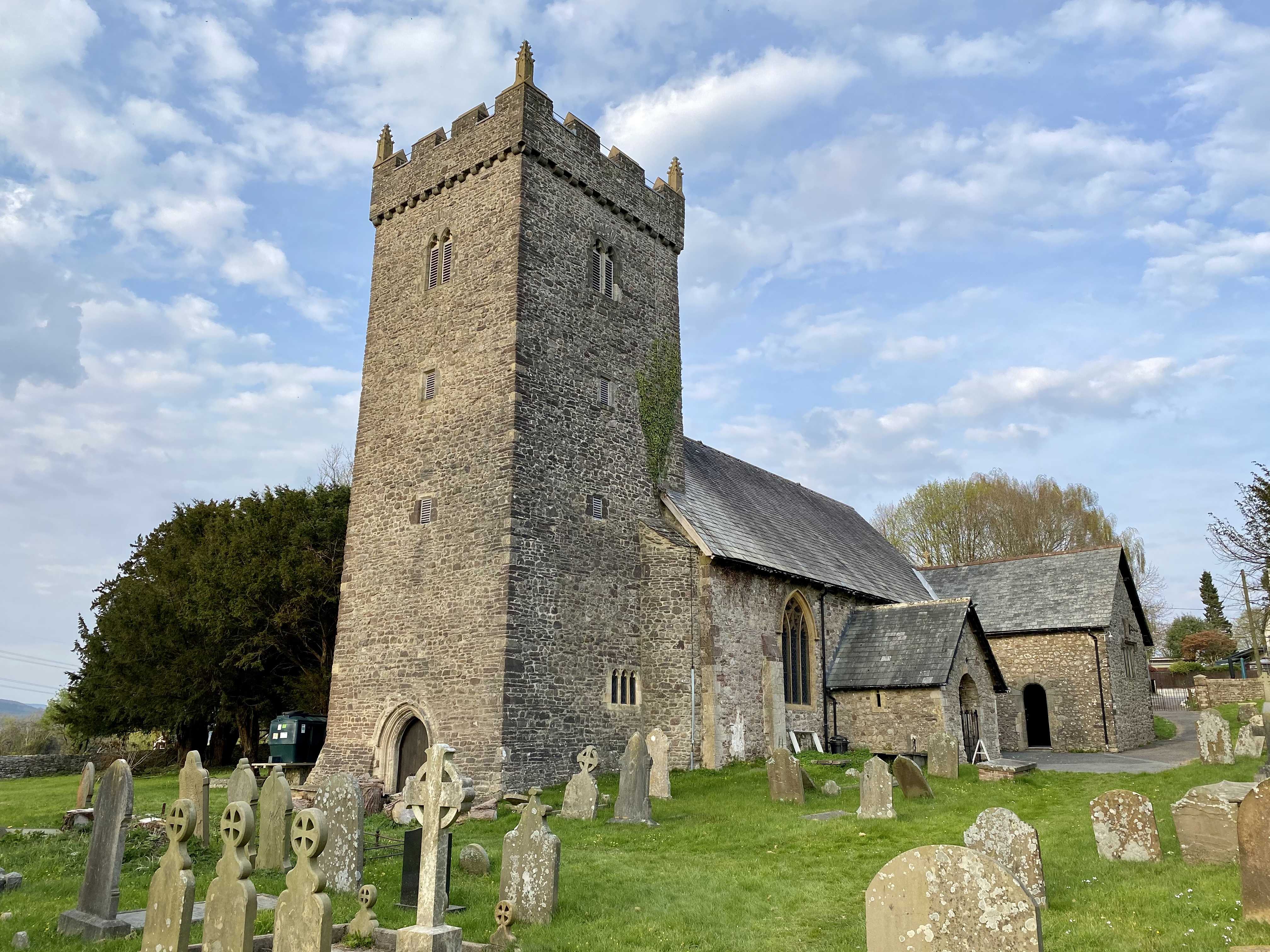
Clearwell is renowned for its historic landmarks and rich cultural heritage. One of its most notable attractions is Clearwell Castle, a magnificent Gothic mansion dating back to the 18th century. This grand structure, set amidst lush greenery, adds an air of elegance and grandeur to the village.
The village itself has a traditional and quaint feel, with charming stone cottages lining the streets. It is home to a close-knit community, and residents take great pride in their surroundings. The local pub, The Clearwell Inn, is a popular gathering spot, offering a warm and friendly atmosphere for villagers and visitors alike.
Nature enthusiasts are drawn to Clearwell due to its proximity to the Forest of Dean. This ancient woodland offers an array of outdoor activities such as hiking, cycling, and wildlife spotting. The nearby Wye Valley also provides ample opportunities for canoeing, fishing, and scenic walks along the riverbank.
Overall, Clearwell is a hidden gem in Monmouthshire, offering a peaceful retreat for those seeking a break from the hustle and bustle of city life. Its natural beauty, historic landmarks, and warm community make it a truly special place to visit or call home.
If you have any feedback on the listing, please let us know in the comments section below.
Clearwell Images
Images are sourced within 2km of 51.558875/-3.0832649 or Grid Reference ST2585. Thanks to Geograph Open Source API. All images are credited.


Clearwell is located at Grid Ref: ST2585 (Lat: 51.558875, Lng: -3.0832649)
Unitary Authority: Newport
Police Authority: Gwent
What 3 Words
///grumbles.guests.degree. Near Marshfield, Newport
Related Wikis
Michaelston-y-Fedw
Michaelston-y-Fedw (Welsh: Llanfihangel-y-fedw) is a small rural village and community to the west of the city of Newport, Wales, on the borders of Cardiff...
Castleton, Newport
Castleton (Welsh: Cas-bach) is a hamlet in the city of Newport, South Wales. == Location == Castleton is in the Marshfield ward on the A48 dual carriageway...
Treetops Shooting Ground
Treetops Sporting Ground is a sporting clay pigeon shooting ground located in Coedkernew, Newport, South Wales. It has facilities for air rifle owners...

South East Wales
South East Wales is a loosely defined region of Wales generally corresponding to the preserved counties of Mid Glamorgan, South Glamorgan and Gwent. Highly...

Graig, Newport
Graig is an electoral ward and coterminous community (parish) of the city of Newport, South Wales. The ward is bounded by the Ebbw River and M4 motorway...

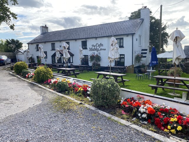
Cefn Mably House
Cefn Mably House (Welsh: Ty Cefn Mabli) is a mansion situated in Cefn Mably, Caerphilly County Borough, Wales. It is a Grade II listed building. The gardens...
Cefn Mably
Cefn Mably is a district located approximately 6 miles north of Cardiff city centre and 5 miles south-east of Caerphilly. It's mostly within the city...
Rhiwderin railway station
Rhiwderin railway station served the Welsh village of Rhiwderin near Newport, Wales. == History and description == The station had two platforms with a...
Nearby Amenities
Located within 500m of 51.558875,-3.0832649Have you been to Clearwell?
Leave your review of Clearwell below (or comments, questions and feedback).