Wheatley's Copse
Wood, Forest in Somerset Somerset West and Taunton
England
Wheatley's Copse

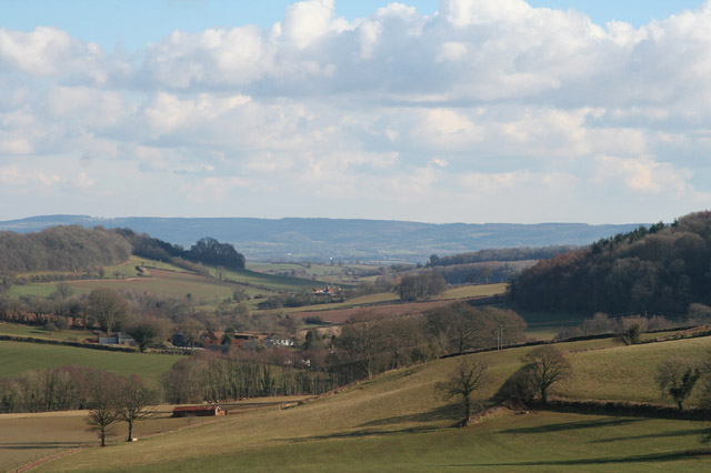
Wheatley's Copse is a charming woodland located in Somerset, England. Covering an area of approximately 30 acres, this copse is nestled in the heart of the picturesque Somerset countryside. The copse is named after the Wheatley family, who were the original owners of the land.
The woodland is predominantly made up of mature broadleaf trees, including oak, beech, and ash, creating a dense canopy that provides a haven for a diverse range of flora and fauna. The forest floor is adorned with a variety of wildflowers, ferns, and mosses, adding to the copse's natural beauty.
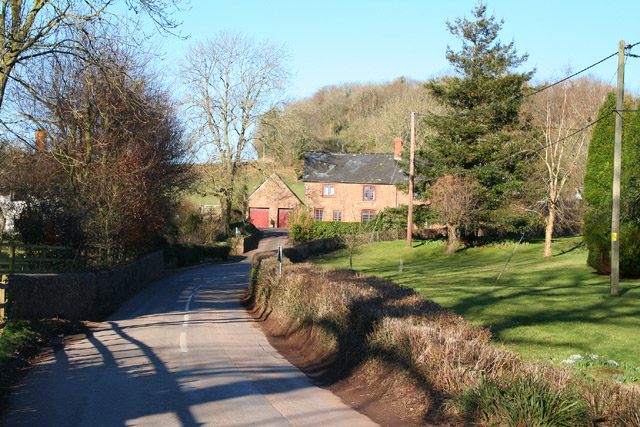
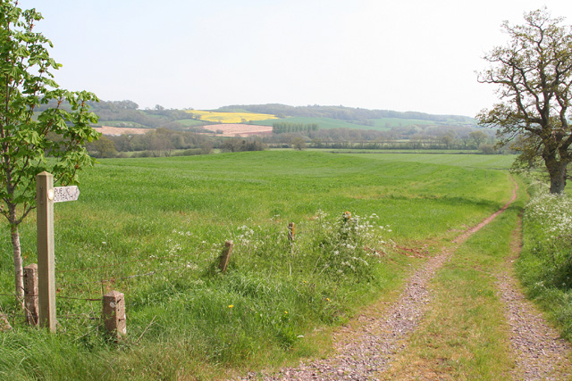
Wheatley's Copse is a popular destination for nature enthusiasts and hikers, offering a network of well-maintained trails that wind their way through the woodland. The trails vary in difficulty, catering to both casual walkers and more experienced hikers. Along the routes, visitors can enjoy breathtaking views of the surrounding countryside and spot wildlife such as deer, rabbits, and a variety of bird species.
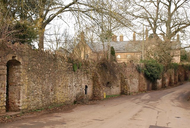
The copse also has a rich historical significance, with evidence of human habitation dating back centuries. Archaeological remains, including ancient earthworks and burial mounds, can be found within the woodland, adding an element of intrigue for those interested in history and archaeology.
Overall, Wheatley's Copse is a natural gem in Somerset, offering a tranquil and idyllic setting for visitors to immerse themselves in the beauty of nature and explore the area's rich history. Whether it's a leisurely walk or an adventure-filled hike, this copse has something to offer for everyone.
If you have any feedback on the listing, please let us know in the comments section below.
Wheatley's Copse Images
Images are sourced within 2km of 51.051193/-3.2834836 or Grid Reference ST1028. Thanks to Geograph Open Source API. All images are credited.


Wheatley's Copse is located at Grid Ref: ST1028 (Lat: 51.051193, Lng: -3.2834836)
Administrative County: Somerset
District: Somerset West and Taunton
Police Authority: Avon and Somerset
What 3 Words
///highways.rectangular.part. Near Wiveliscombe, Somerset
Nearby Locations
Related Wikis

King's Castle, Wiveliscombe
King's Castle is an Iron Age Hillfort 1 kilometre (0.62 mi) east of Wiveliscombe in Somerset, England. It is surrounded by two banks with a ditch between...

Fitzhead
Fitzhead is a village and civil parish in Somerset, England, situated approximately 6 miles (9.7 km) north west of Taunton. The village has an estimated...
Church of St James the Great, Fitzhead
The Anglican Church of St James the Great in Fitzhead, Somerset, England was built in the 15th century. It is a Grade II* listed building. == History... ==
Fitzhead Court and The Manor
Fitzhead Court and The Manor in Fitzhead, Somerset, England was built in the late 16th century and has now been split into two buildings. It is a Grade...

Church of St Andrew, Wiveliscombe
The Church Of St Andrew in Wiveliscombe, Somerset, England was built in 1829. It is a Grade II* listed building. == History == The church was built by...
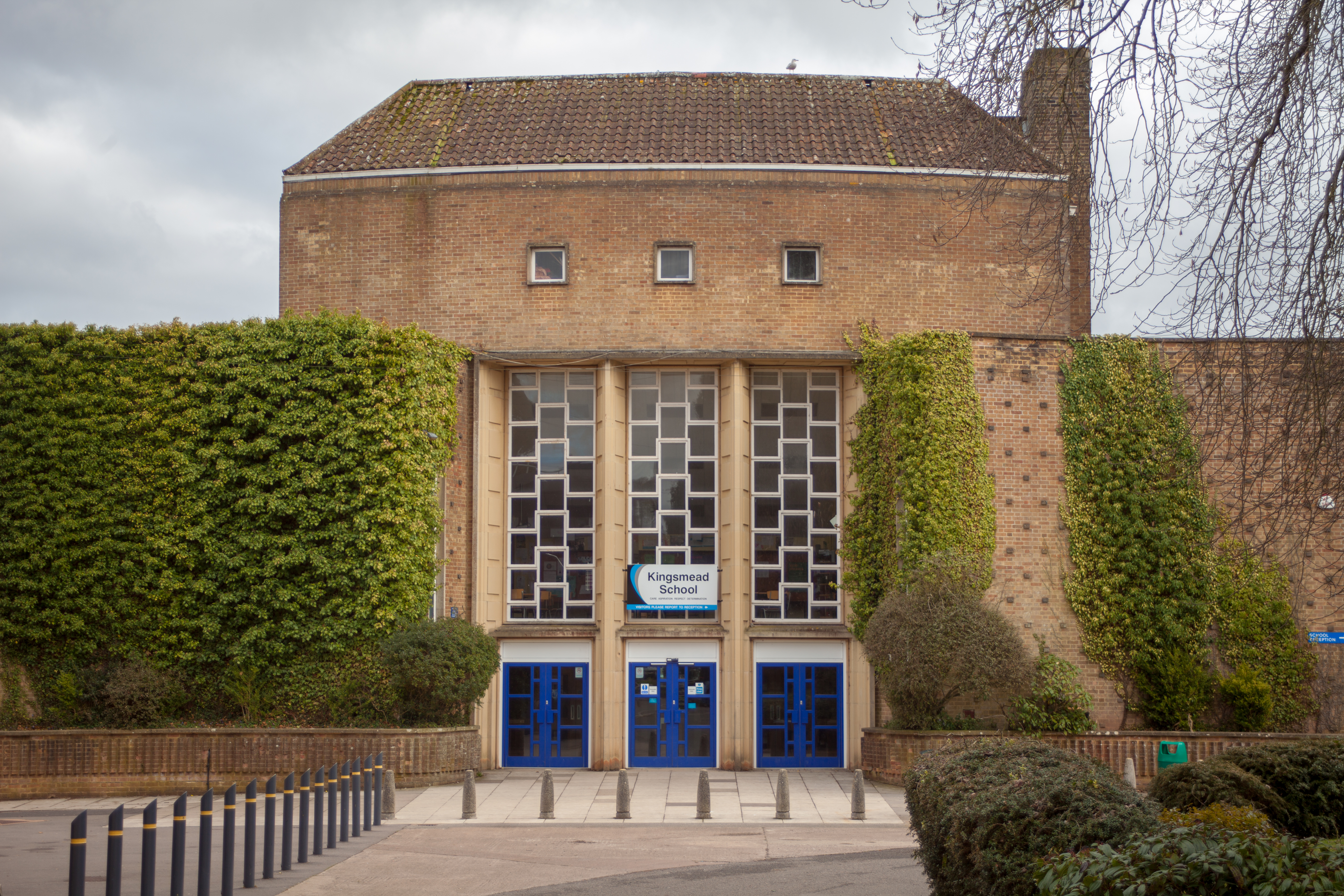
Kingsmead School, Wiveliscombe
Kingsmead School (KS) is a coeducational state school in Wiveliscombe, Somerset, England, serving the north-west of Taunton Deane district. It had 804...
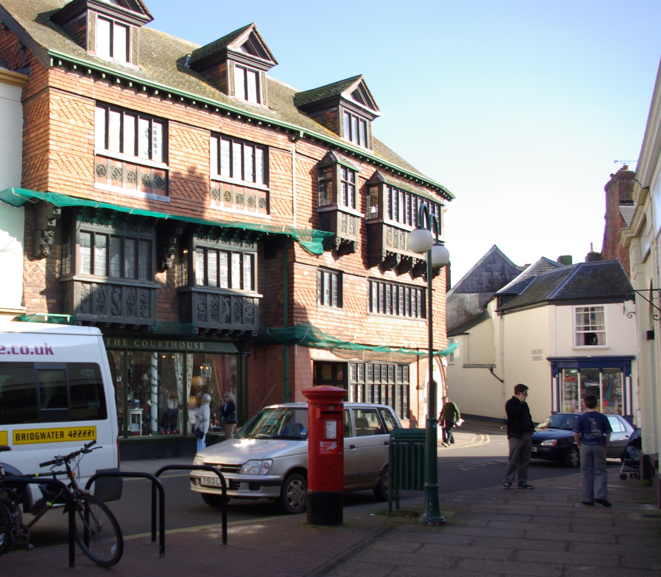
Wiveliscombe
Wiveliscombe (, locally ) is a town and civil parish in Somerset, England, situated 9 miles (14 km) west of Taunton. The town has a population of 2,893...

Ruby Country
Ruby Country is the name given to the rural inland hinterland of north-west Devon, UK. It covers 45 parishes around the market towns of Holsworthy and...
Have you been to Wheatley's Copse?
Leave your review of Wheatley's Copse below (or comments, questions and feedback).