Allecombe Copse

Wood, Forest in Devon Mid Devon

England

Allecombe Copse

Tiverton RDC Fingerpost near Ashill One of a very small number of surviving fingerposts with Tiverton Rural District Council halo.

Milestone Society National ID: DV_ST0911
Tiverton RDC Fingerpost near Ashill Credit: Mr Nicholas Savage

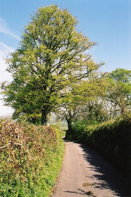
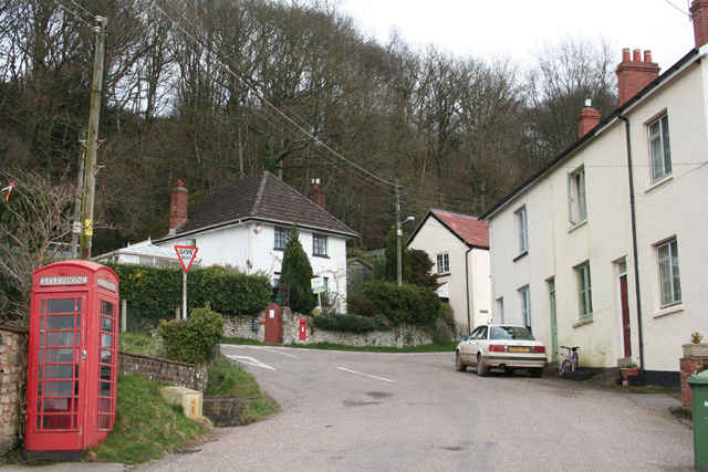
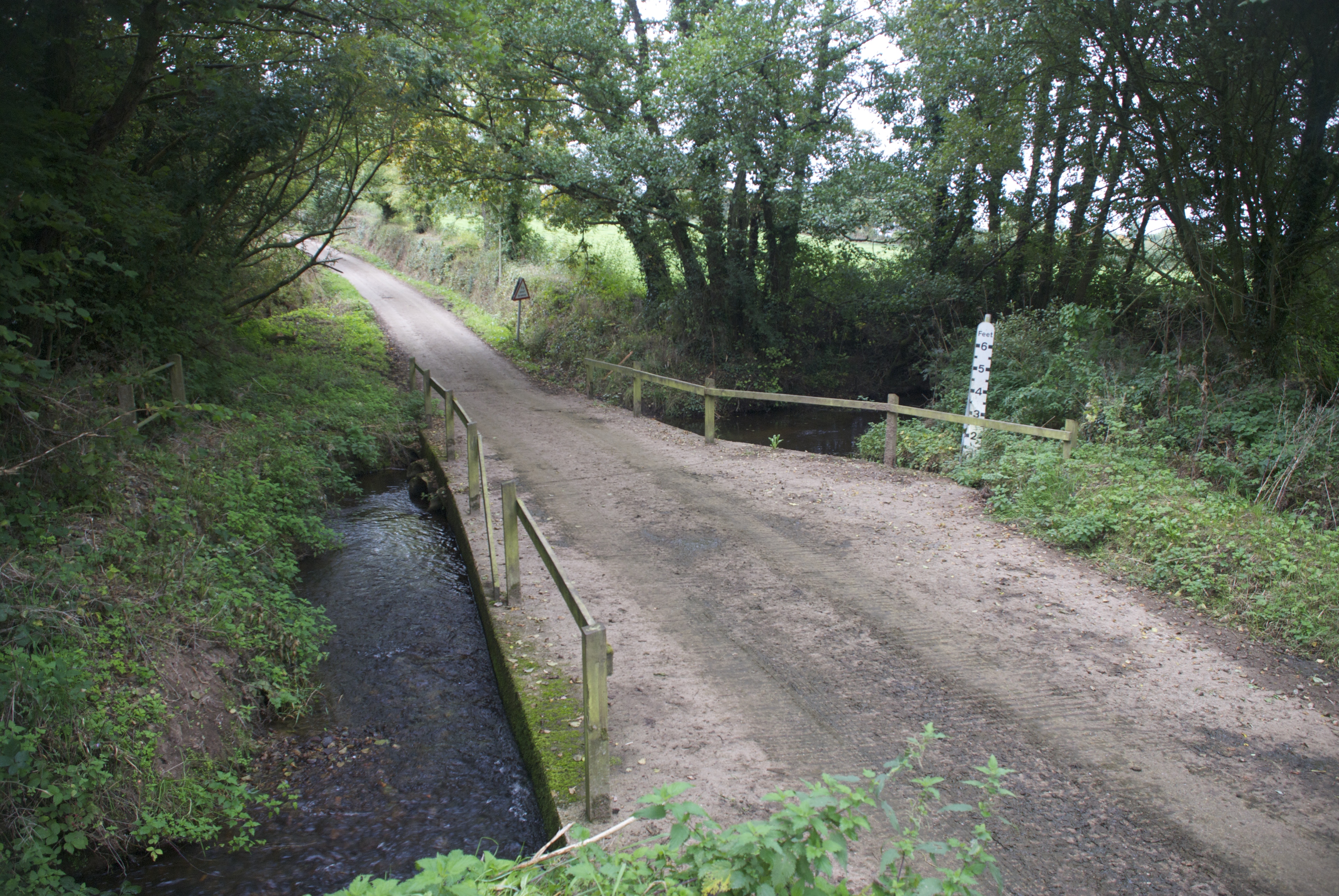
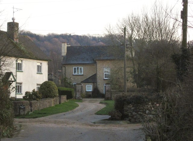
Allecombe Copse is a picturesque woodland located in the county of Devon, England. Situated near the village of Allecombe, the copse covers an area of approximately 50 acres and is a popular destination for nature enthusiasts and hikers alike.

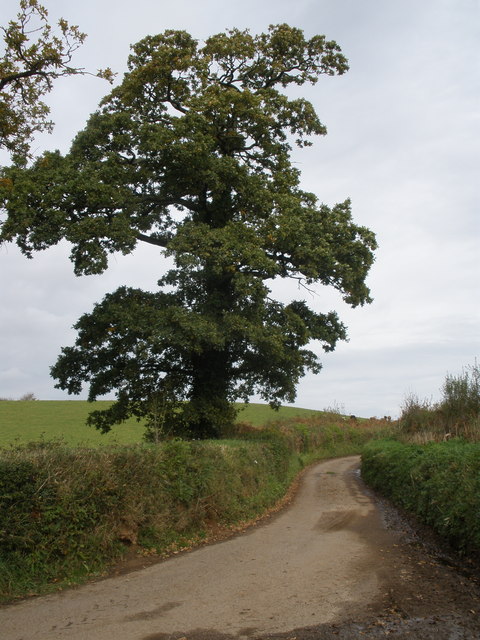
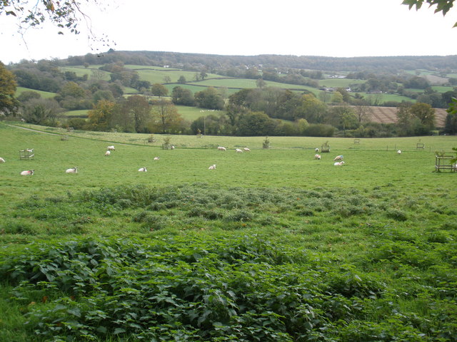
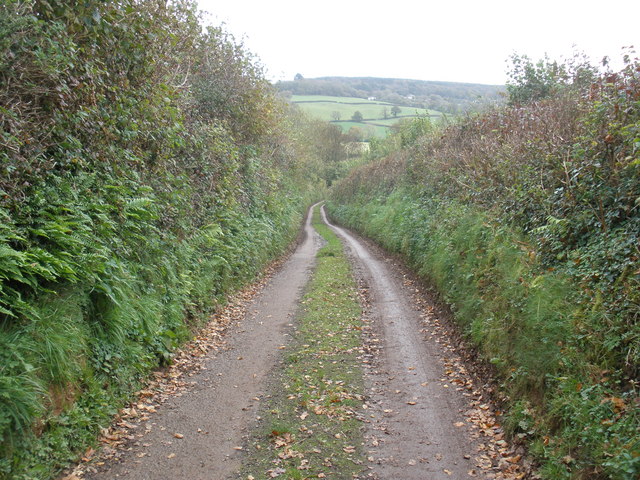
The copse is primarily composed of deciduous trees, with a diverse range of species including oak, beech, ash, and hazel. The dense canopy provides a haven for various wildlife, including birds, squirrels, and deer, making it an ideal spot for birdwatching and wildlife photography.

The forest floor is carpeted with a variety of wildflowers and ferns, adding to the copse's natural beauty. Walking trails wind their way through the woods, offering visitors the opportunity to explore the area and immerse themselves in its tranquil atmosphere.

Allecombe Copse is also known for its ancient history, with evidence of human habitation dating back thousands of years. Archaeological discoveries have unearthed remnants of Iron Age settlements and Roman artifacts, providing insight into the area's rich cultural heritage.

The copse is easily accessible, with a car park located nearby, and is open to the public year-round. It offers a peaceful retreat from the hustle and bustle of city life, inviting visitors to relax and unwind in its serene surroundings.

Overall, Allecombe Copse is a charming woodland retreat that showcases the natural beauty and historical significance of the Devon countryside.

If you have any feedback on the listing, please let us know in the comments section below.

Allecombe Copse Images

Images are sourced within 2km of 50.886723/-3.2828386 or Grid Reference ST0910. Thanks to Geograph Open Source API. All images are credited.

Tiverton RDC Fingerpost near Ashill One of a very small number of surviving fingerposts with Tiverton Rural District Council halo.

Milestone Society National ID: DV_ST0911
Tiverton RDC Fingerpost near Ashill
One of a very small number of surviving fingerposts with Tiverton Rural District Council halo. Milestone Society National ID: DV_ST0911
Uffculme: near Foxhill Cross View south to Blackborough
Uffculme: near Foxhill Cross
View south to Blackborough
Uffculme: view from Hackpen Hill Looking south west
Uffculme: view from Hackpen Hill
Looking south west
Uffculme: edge of wood On Hackpen Hill, looking east
Uffculme: edge of wood
On Hackpen Hill, looking east
Uffculme: meadows near Lower Bodmiscombe Looking east
Uffculme: meadows near Lower Bodmiscombe
Looking east
Uffculme: ford by Hayne Cross Ford with footbridge and flood depth pillar. Looking south west
Uffculme: ford by Hayne Cross
Ford with footbridge and flood depth pillar. Looking south west
Kentisbeare: north from Blackborough Looking north on the lane to Ashill
Kentisbeare: north from Blackborough
Looking north on the lane to Ashill
Kentisbeare: Blackborough House This mansion has seen better days. It was built in the Italianate style for the fourth and last Earl of Egremont, a member of the Wyndham family, in 1838-40, but was never entirely finished. The Grade II Listed house was on the market for £1,000,000 in 2003, with sixty rooms. The fourth earl also had a large mansion built at Silverton which has since been demolished. For some years now Blackborough House has been surrounded by a scrapyard, presently run by Blackborough Motor Salvage
Kentisbeare: Blackborough House
This mansion has seen better days. It was built in the Italianate style for the fourth and last Earl of Egremont, a member of the Wyndham family, in 1838-40, but was never entirely finished. The Grade II Listed house was on the market for £1,000,000 in 2003, with sixty rooms. The fourth earl also had a large mansion built at Silverton which has since been demolished. For some years now Blackborough House has been surrounded by a scrapyard, presently run by Blackborough Motor Salvage
Kentisbeare: Sandfield Farm A public footpath starts here and runs north through the yard to Ashill Moor
Kentisbeare: Sandfield Farm
A public footpath starts here and runs north through the yard to Ashill Moor
Kentisbeare: near Blackborough House Looking west from a public footpath
Kentisbeare: near Blackborough House
Looking west from a public footpath
Kentisbeare: Blackborough The village centre. Behind the camera is Ponchydown House, at one time the Ponchydown Inn. Just out of shot to the left is the village hall. Looking east-south-east
Kentisbeare: Blackborough
The village centre. Behind the camera is Ponchydown House, at one time the Ponchydown Inn. Just out of shot to the left is the village hall. Looking east-south-east
Birchen Tree Cross
Birchen Tree Cross
Stately oak tree
Stately oak tree
Grazing sheep, on Mortimers Farm
Road to Mortimers Farm
Path junction, near Mortimers Farm
Copse, near Blackborough House
Woodland edge
Woodland edge
Show me another place!

Allecombe Copse is located at Grid Ref: ST0910 (Lat: 50.886723, Lng: -3.2828386)

Administrative County: Devon

District: Mid Devon

Police Authority: Devon and Cornwall

What 3 Words

///accent.chucks.signs. Near Uffculme, Devon

Nearby Locations

Allecombe Copse

Related Wikis

Blackborough House

Blackborough House is a grade II listed privately owned country house in Blackborough, Devon, three miles (5 km) east of Cullompton. It was built in 1838...

Bodmiscombe Preceptory

Bodmiscombe Preceptory was a priory in Devon, England. It was run by the Knights Hospitaller and was possibly founded during the reign on Henry III and...

Ashill, Devon

Ashill is a village located in the parish of Uffculme, in the English county of Devon. It has a small church, a community village hall and small public...

Blackborough, Devon

Blackborough is a hamlet and former manor in the parish of Kentisbeare, Devon, England. It is situated within the Mid Devon district. The nearest substantial...

Goodleigh, Mid Devon

Goodleigh is a village about 1 km northeast of Bodmiscombe in the county of Devon, England.The origin of the place-name is from the Old English words Goda...

Bodmiscombe

Bodmiscombe is a village in Devon, England. == External links == Media related to Bodmiscombe at Wikimedia Commons

Sheldon, Devon

Sheldon is a village and civil parish in the East Devon district of the county of Devon in England. It is located in the Blackdown Hills, 6.5 miles (10...

Culmstock Halt railway station

Culmstock Halt railway station served the village of Culmstock, Devon, England, from 1876 to 1963 on the Culm Valley Light Railway. == History == The station...

Nearby Amenities

Located within 500m of 50.886723,-3.2828386
Allhallows Cross
Junction: yes
Lat/Long: 50.8834073/-3.2871078
Power: pole
Source: bing
Lat/Long: 50.8840944/-3.2884446
Power: pole
Source: bing
Lat/Long: 50.8836832/-3.2872322
Power: pole
Source: bing
Lat/Long: 50.8838169/-3.2858053
Power: pole
Source: bing
Lat/Long: 50.8836917/-3.2845205
Power: pole
Source: bing
Lat/Long: 50.8836003/-3.2835066
Power: pole
Source: bing
Transformer: distribution
Lat/Long: 50.8827085/-3.2810041
Power: pole
Source: bing
Lat/Long: 50.8834937/-3.2824713
Power: pole
Source: bing
Lat/Long: 50.8833938/-3.2814601
Power: pole
Source: bing
Lat/Long: 50.8832161/-3.2796416
Power: pole
Source: bing
Lat/Long: 50.883712/-3.2783514
Power: pole
Source: bing
Lat/Long: 50.8842044/-3.2770586
The data included in this document is from www.openstreetmap.org. The data is made available under ODbL.

Have you been to Allecombe Copse?

Leave your review of Allecombe Copse below (or comments, questions and feedback).