Bouch Plantation

Wood, Forest in Cumberland Allerdale

England

Bouch Plantation

Minor road towards Deanscales
Minor road towards Deanscales Credit: Steven Brown

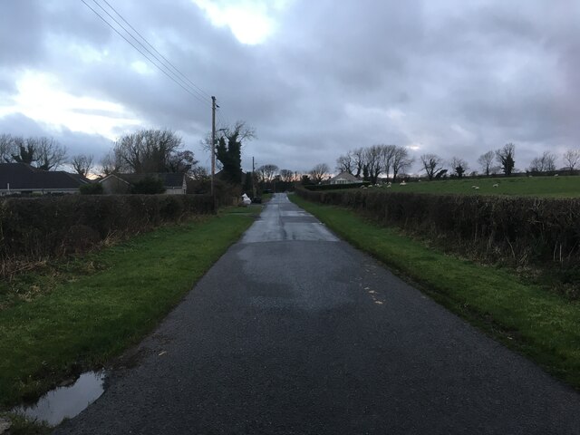
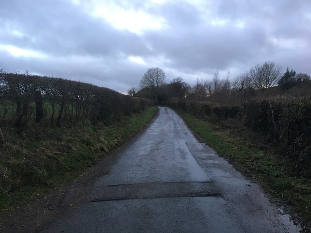
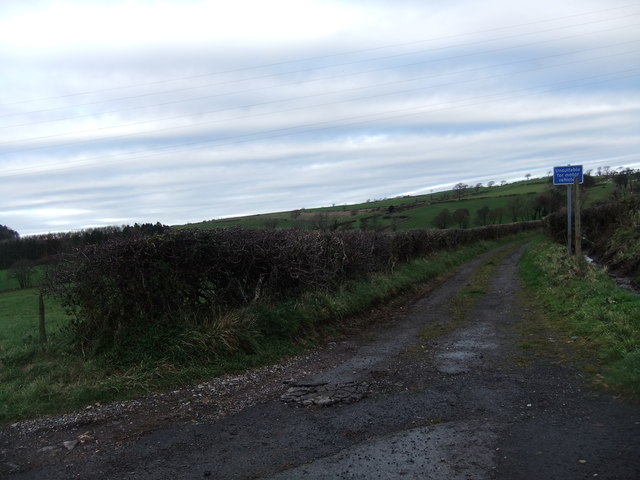
Bouch Plantation is a picturesque woodland located in Cumberland, a county in the northwest of England. This expansive plantation covers a vast area of lush greenery, providing a haven for both wildlife and nature enthusiasts. The plantation is primarily composed of dense woodlands and forests, making it a perfect destination for those seeking a tranquil and serene environment.

The woodland of Bouch Plantation is characterized by its diverse range of tree species, including oak, beech, and pine. Towering trees create a majestic canopy that filters sunlight, casting a soothing shade over the forest floor. The plantation is also home to a variety of wildflowers, adding vibrant bursts of color to the landscape during the blooming seasons.

Nature lovers frequently visit Bouch Plantation to immerse themselves in the beauty of the surroundings. The plantation offers numerous walking trails that wind through the woods, allowing visitors to explore its hidden gems. The trails are well-maintained, making them suitable for both leisurely strolls and more rigorous hikes.

Wildlife thrives within the plantation, with sightings of deer, foxes, and a plethora of bird species being common. Birdwatchers are particularly drawn to Bouch Plantation due to its diverse avian population, which includes woodpeckers, owls, and various songbirds.

Visitors to Bouch Plantation can also enjoy the peaceful ambiance of its picnic areas, where they can relax and have a meal while surrounded by the natural beauty of the woodland. Overall, Bouch Plantation offers a splendid retreat from the hustle and bustle of daily life, providing a serene environment for nature enthusiasts to reconnect with the great outdoors.

If you have any feedback on the listing, please let us know in the comments section below.

Bouch Plantation Images

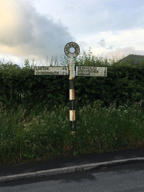
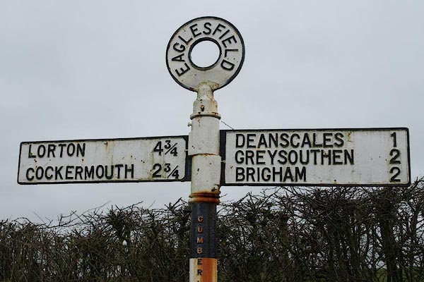
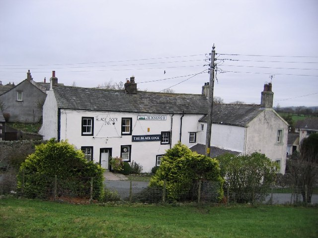
Images are sourced within 2km of 54.622443/-3.3989355 or Grid Reference NY0926. Thanks to Geograph Open Source API. All images are credited.

Minor road towards Deanscales
Minor road near Deanscales
Track off Fifkettle Brow
Trig pillar on Crag Hill
Old Direction Sign - Signpost Annulus finial - 3 arms; Cumberland named halo by the UC road, in parish of Dean (Allerdale District), crossroads at West end of Pardshaw, on verge against hedge.

To be surveyed

Milestone Society National ID: CU_NY0924
Old Direction Sign - Signpost
Annulus finial - 3 arms; Cumberland named halo by the UC road, in parish of Dean (Allerdale District), crossroads at West end of Pardshaw, on verge against hedge. To be surveyed Milestone Society National ID: CU_NY0924
Direction Sign – Signpost in Eaglesfield Located on the south side of the T junction in Eaglesfield, Dean parish. 2 arms and annulus finial. See also <span class="nowrap"><a title="http://www.geog.port.ac.uk/webmap/thelakes/photos/bwa65.jpg" rel="nofollow ugc noopener" href="http://www.geog.port.ac.uk/webmap/thelakes/photos/bwa65.jpg">Link</a><img style="margin-left:2px;" alt="External link" title="External link - shift click to open in new window" src="https://s1.geograph.org.uk/img/external.png" width="10" height="10"/></span>.

Milestone Society National ID: CU_NY0928
Direction Sign – Signpost in Eaglesfield
Located on the south side of the T junction in Eaglesfield, Dean parish. 2 arms and annulus finial. See also LinkExternal link. Milestone Society National ID: CU_NY0928
The road to Pardshaw from Peppercoats Brow (road)
The Old Posting House near Deanscales
Southward Cottage, Pardshaw
A field above Pardshaw
Entering Eaglesfield from the East Looking along the minor country road which becomes the main street through Eaglesfield. The small village is located to the south west of Cockermouth.
Entering Eaglesfield from the East
Looking along the minor country road which becomes the main street through Eaglesfield. The small village is located to the south west of Cockermouth.
Entrance into Hollins Farm, Eaglesfield Looking through the gate into the steading of Hollins Farm on the outskirts of Eaglesfield. The sun has broken through a small gap in the clouds and is reflecting off the wet concrete of the farmyard.
Entrance into Hollins Farm, Eaglesfield
Looking through the gate into the steading of Hollins Farm on the outskirts of Eaglesfield. The sun has broken through a small gap in the clouds and is reflecting off the wet concrete of the farmyard.
Hollins Farm, Eaglesfield Looking across a grass paddock towards the buildings at Hollins Farm. The buildings of the farm appear to be laid out in a linear fashion leading away from the road up the hillside.
Hollins Farm, Eaglesfield
Looking across a grass paddock towards the buildings at Hollins Farm. The buildings of the farm appear to be laid out in a linear fashion leading away from the road up the hillside.
Phone box and post box, Eaglesfield A public telephone box, post box and litter bin stand next to each other beside the road in the centre of Eaglesfield.
Phone box and post box, Eaglesfield
A public telephone box, post box and litter bin stand next to each other beside the road in the centre of Eaglesfield.
West Croft Farm, Eaglesfield A livestock farm on the edge of the village of Eaglesfield.
West Croft Farm, Eaglesfield
A livestock farm on the edge of the village of Eaglesfield.
The Black Cock Inn Eaglesfield. Award winning pub for its real ale.
The Black Cock Inn Eaglesfield.
Award winning pub for its real ale.
"Sunny Corner" Pardshaw. it seemed appropriate to take this photo because of the sunshine and the name of the house.
"Sunny Corner" Pardshaw.
it seemed appropriate to take this photo because of the sunshine and the name of the house.
Leegate. This is on the roadside Cockermouth to Egremont road.
Leegate.
This is on the roadside Cockermouth to Egremont road.
Show me another place!

Bouch Plantation is located at Grid Ref: NY0926 (Lat: 54.622443, Lng: -3.3989355)

Administrative County: Cumbria

District: Allerdale

Police Authority: Cumbria

What 3 Words

///utter.minus.annoys. Near Cockermouth, Cumbria

Related Wikis

Deanscales

Deanscales is a hamlet in the county of Cumbria, England. Nearby settlements include the village of Dean and the town of Cockermouth. Deanscales is on...

Eaglesfield, Cumbria

Eaglesfield is a village in the parish of Dean in Cumberland in Cumbria, England. It is near the A5086 road, 2.5 miles (4 km) southwest of Cockermouth...

Mosser

Mosser is a village and former civil parish, 26 miles (42 km) south west of Carlisle, now in the parish of Blindbothel, in Allerdale district, in the county...

Allerdale

Allerdale was a non-metropolitan district of Cumbria, England, with borough status. Its council was based in Workington and the borough has a population...

Nearby Amenities

Located within 500m of 54.622443,-3.3989355
Hill Top Farm (N bound)
Naptan AtcoCode: 090002240070
Naptan Bearing: N
Naptan BusStopType: CUS
Naptan CommonName: Hill Top Farm (N bound)
Naptan Indicator: near
Naptan Landmark: telephone box at southern end of village
Naptan NaptanCode: cumadpmt
Naptan Street: No name
Naptan Verified: no
Source: naptan_import
Lat/Long: 54.6242106/-3.4041489
Bus Stop
Hill Top Farm (S bound)
Bench: no
Covered: no
Local Ref: AT
Naptan AtcoCode: 090002243067
Naptan Bearing: S
Naptan CommonName: Hill Top Farm (S bound)
Naptan Indicator: at
Naptan Landmark: southern end of village
Naptan NaptanCode: cumadptp
Naptan Street: No name
Naptan Verified: no
Shelter: no
Source: naptan_import
Lat/Long: 54.6242207/-3.4040563
Power: tower
Lat/Long: 54.6218881/-3.4031364
Bench
Lat/Long: 54.6240977/-3.4041585
Grit Bin
Lat/Long: 54.6240751/-3.4041833
Post Box
Ref: CA13 74
Lat/Long: 54.6245812/-3.4042718
Woodside Farm
Place: farm
Lat/Long: 54.6186353/-3.3971976
Power: tower
Lat/Long: 54.6220494/-3.4061514
Power: tower
Lat/Long: 54.6215535/-3.4002286
Power: tower
Lat/Long: 54.621216/-3.3972955
Power: tower
Lat/Long: 54.620863/-3.3942272
Power: pole
Lat/Long: 54.6251117/-3.4040505
Power: pole
Lat/Long: 54.6256676/-3.4031714
Power: pole
Lat/Long: 54.6183564/-3.3993601
Power: pole
Lat/Long: 54.6189816/-3.3984283
Power: pole
Lat/Long: 54.6221025/-3.40093
Power: pole
Lat/Long: 54.6225775/-3.4025424
Power: pole
Lat/Long: 54.6229387/-3.4038064
Power: pole
Lat/Long: 54.6232412/-3.4048253
Power: pole
Lat/Long: 54.6235919/-3.4062777
The data included in this document is from www.openstreetmap.org. The data is made available under ODbL.

Have you been to Bouch Plantation?

Leave your review of Bouch Plantation below (or comments, questions and feedback).