The Wilderness

Wood, Forest in Devon East Devon

England

The Wilderness

About to enter Colliton on the A373, heading south
About to enter Colliton on the A373, heading south Credit: Rob Purvis

The Wilderness, located in Devon, England, is a charming and serene woodlands area known for its natural beauty and tranquility. Nestled amidst the rolling hills of the Devon countryside, this forested area offers a perfect escape from the hustle and bustle of everyday life.

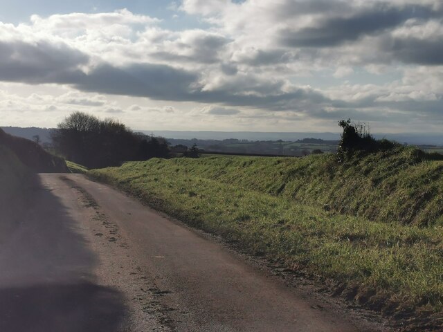
Covering approximately 300 acres, The Wilderness is home to a diverse range of flora and fauna, making it a haven for nature enthusiasts and wildlife lovers. The woodland is primarily composed of ancient oak and beech trees, providing a dense and lush canopy that creates a cool and refreshing atmosphere, especially during the warm summer months.

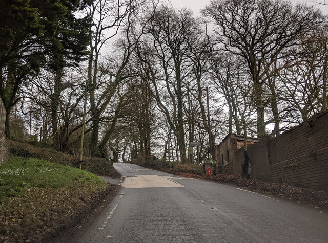
Visitors to The Wilderness can explore a network of well-maintained footpaths that wind through the forest, allowing for leisurely walks and hikes. The paths offer stunning views of the surrounding countryside and provide opportunities for birdwatching and spotting other wildlife such as deer, foxes, and rabbits.

The Wilderness is also known for its picturesque pond, which serves as a watering hole for various species of birds and other small animals. Additionally, there are several picnic areas scattered throughout the woodlands, providing visitors with the perfect spot to relax and enjoy a meal amidst nature.

Overall, The Wilderness in Devon is a peaceful and enchanting destination, offering visitors a chance to immerse themselves in the beauty and serenity of the natural world. Whether it's a leisurely stroll through the forest or a picnic by the pond, this woodland area is sure to provide a memorable and rejuvenating experience for all nature lovers.

If you have any feedback on the listing, please let us know in the comments section below.

The Wilderness Images

Images are sourced within 2km of 50.826588/-3.2860878 or Grid Reference ST0903. Thanks to Geograph Open Source API. All images are credited.

About to enter Colliton on the A373, heading south
At Colliton Cross junction on the A373, heading towards Honiton
Lovely tree at the junction on the A373 for Upton
Car Park in the Woods A woodland path with Witness Moor car park in the background just north of Hembury Hill Fort.
Car Park in the Woods
A woodland path with Witness Moor car park in the background just north of Hembury Hill Fort.
Iron Age Earth Works The impressive iron age earthworks of Hembury Hill Fort in Devon are becoming overgrown but still visible.
Iron Age Earth Works
The impressive iron age earthworks of Hembury Hill Fort in Devon are becoming overgrown but still visible.
Footpath on top of the Hill The public footpath through the gorse and bracken on top of Hembury Hill Fort in Devon.
Footpath on top of the Hill
The public footpath through the gorse and bracken on top of Hembury Hill Fort in Devon.
Public Footpath Signpost Public footpath sign post marking the crossroads of several footpaths on top of Hembury Hill Fort in Devon.
Public Footpath Signpost
Public footpath sign post marking the crossroads of several footpaths on top of Hembury Hill Fort in Devon.
Hill Summit The perceived summit of the iron age fort on Hembury Hill.
Hill Summit
The perceived summit of the iron age fort on Hembury Hill.
Hill Fort Noticeboard The noticeboard of the iron age Hembury Hill Fort in Devon situated on the approach to the first earthworks just south of the carpark.
Hill Fort Noticeboard
The noticeboard of the iron age Hembury Hill Fort in Devon situated on the approach to the first earthworks just south of the carpark.
Payhembury : Country Lane Looking along a small lane.
Payhembury : Country Lane
Looking along a small lane.
Passing Broadleaze on the A373, heading east
Steep up hill on the A373
Dangerous slippery road for 1 mile on the A373, heading east
Broadhembury Unusually for this village, this picturesque thatched cottage is stone faced instead of colourwashed.
Broadhembury
Unusually for this village, this picturesque thatched cottage is stone faced instead of colourwashed.
Hembury Court Barns Converted farm buildings used as holiday lets.
Hembury Court Barns
Converted farm buildings used as holiday lets.
Payhembury: Hembury from near Haskins Cross View to Broadhembury. The ramparts and ditches of Hembury, an Iron Age hillfort, remain at the end of the wooded ridge
Payhembury: Hembury from near Haskins Cross
View to Broadhembury. The ramparts and ditches of Hembury, an Iron Age hillfort, remain at the end of the wooded ridge
Broadhembury, bridge over the River Tale
River Tale and cottages, Broadhembury
Show me another place!

The Wilderness is located at Grid Ref: ST0903 (Lat: 50.826588, Lng: -3.2860878)

Administrative County: Devon

District: East Devon

Police Authority: Devon and Cornwall

What 3 Words

///mostly.shame.outlast. Near Dunkeswell, Devon

Nearby Locations

The Wilderness

Related Wikis

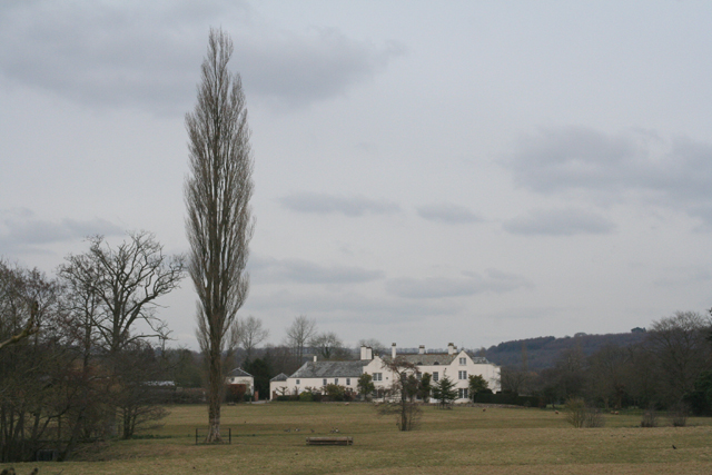
The Grange, Broadhembury

The Grange is a historic estate in the parish of Broadhembury in Devon, England. The surviving 16th-century mansion house (known as The Grange) is listed...

Broadhembury

Broadhembury is a village and civil parish in the East Devon district of Devon, England, 5 miles (8 km) north-west of Honiton.The civil parish includes...

Hembury

Hembury is a Neolithic causewayed enclosure and Iron Age hillfort near Honiton in Devon. Its history stretches from the late fifth and early fourth millennia...

Payhembury

Payhembury is a village and civil parish in the East Devon district of Devon, England. The village is about six miles west of Honiton. At the time of...

Nearby Amenities

Located within 500m of 50.826588,-3.2860878
Grange Cross
Junction: yes
Lat/Long: 50.8297501/-3.287051
Give Way
Direction: backward
Lat/Long: 50.8238092/-3.2853222
Give Way
Direction: forward
Lat/Long: 50.824534/-3.2923703
Rest Area
Capacity: 3
Drinking Water: no
Toilets: no
Waste Bin: no
Lat/Long: 50.8238214/-3.285643
Give Way
Direction: forward
Lat/Long: 50.8249121/-3.2885532
Power: pole
Lat/Long: 50.828324/-3.2923016
Power: pole
Lat/Long: 50.8278394/-3.2910195
Power: pole
Lat/Long: 50.8283578/-3.2897159
Power: pole
Lat/Long: 50.8288559/-3.2884768
Power: pole
Lat/Long: 50.8293557/-3.2871732
Power: pole
Lat/Long: 50.8293811/-3.2855424
Power: pole
Lat/Long: 50.8294455/-3.2825518
The data included in this document is from www.openstreetmap.org. The data is made available under ODbL.

Have you been to The Wilderness?

Leave your review of The Wilderness below (or comments, questions and feedback).