Annwell Place

Settlement in Derbyshire South Derbyshire

England

Annwell Place

Public footpath to Smisby An old field path, marked on 19th century maps, which has been incorporated into the National Forest Way.
Public footpath to Smisby Credit: Ian Calderwood

Annwell Place is a charming village located in the picturesque county of Derbyshire, England. Situated in the heart of the Peak District National Park, this idyllic settlement offers breathtaking views of rolling hills, lush greenery, and tranquil surroundings.

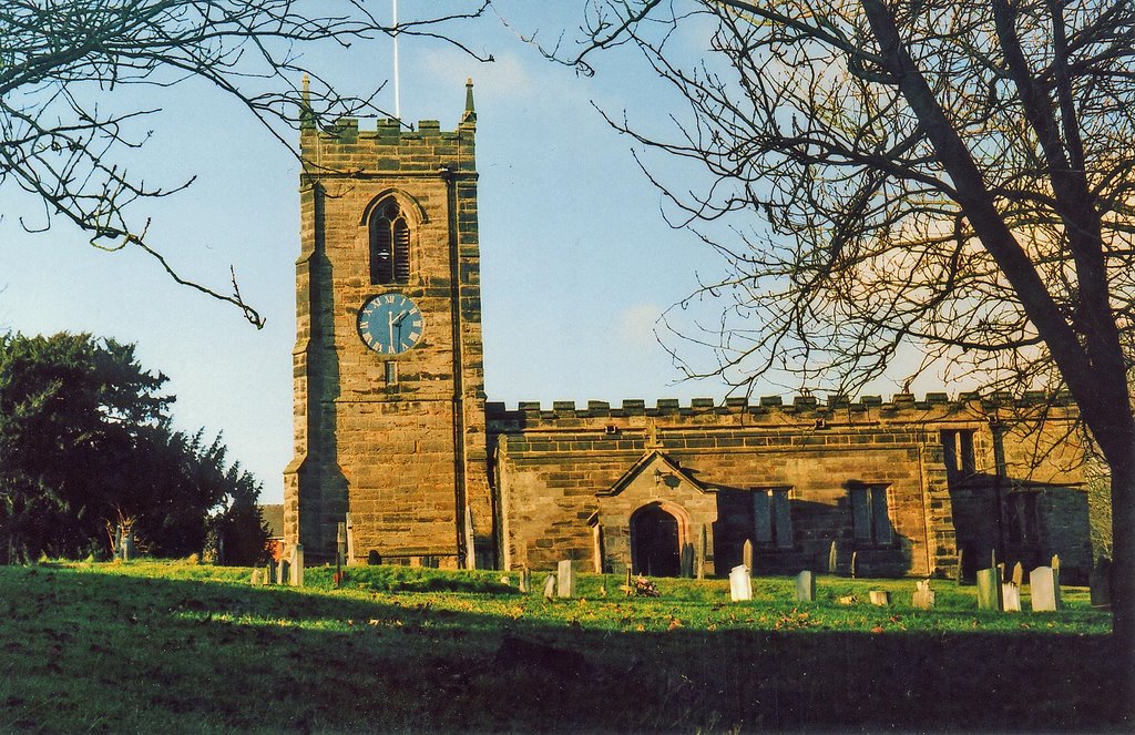
The village is renowned for its quintessential English charm, with its traditional stone houses and quaint cottages that showcase the local architectural style. Annwell Place is also known for its well-preserved historic buildings, such as St. Mary's Church, which dates back to the 12th century and features stunning medieval stained glass windows.

Nature lovers will find themselves in paradise here, as the village is surrounded by an abundance of natural beauty. The nearby Peak District offers a plethora of walking and hiking trails, allowing visitors to explore the stunning landscapes, ancient woodlands, and cascading waterfalls.

In addition to its natural attractions, Annwell Place boasts a vibrant community spirit. The village hosts various events throughout the year, including a summer fête and a Christmas market, which bring residents and visitors together to celebrate local traditions and showcase regional produce.

For those seeking a taste of local cuisine, Annwell Place offers several charming tea rooms and traditional pubs, where visitors can indulge in delicious homemade treats and sample the finest local ales.

With its picturesque setting, rich history, and warm community spirit, Annwell Place is a true gem in the heart of Derbyshire.

If you have any feedback on the listing, please let us know in the comments section below.

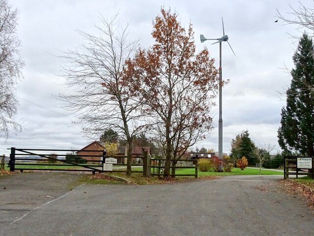
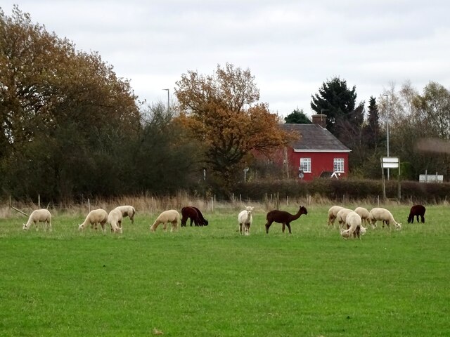
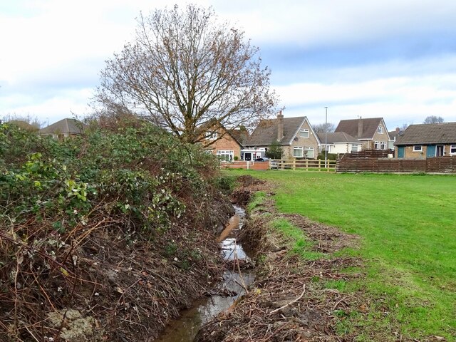
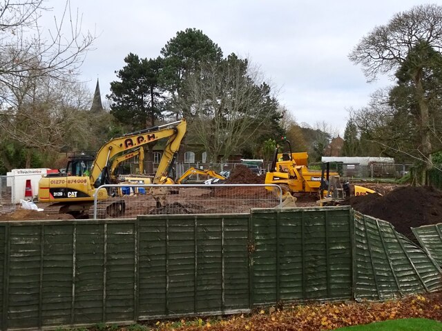
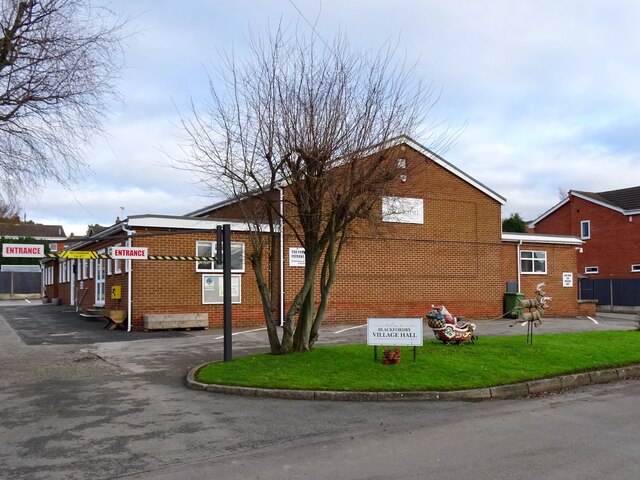
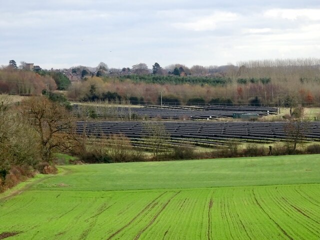
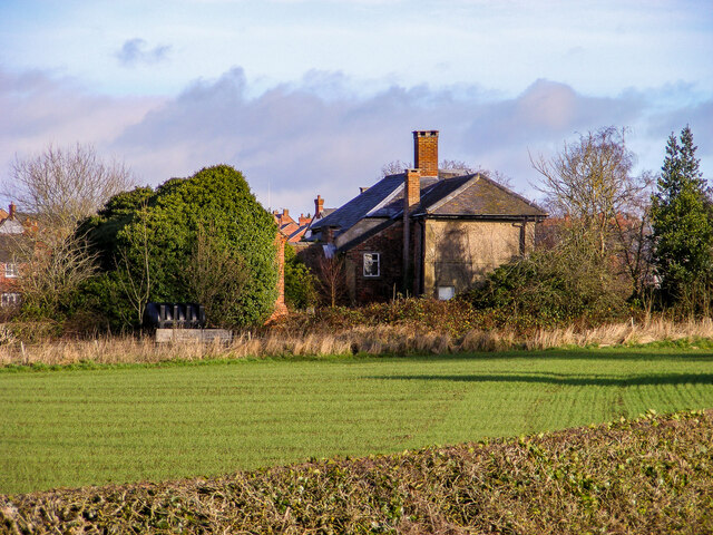
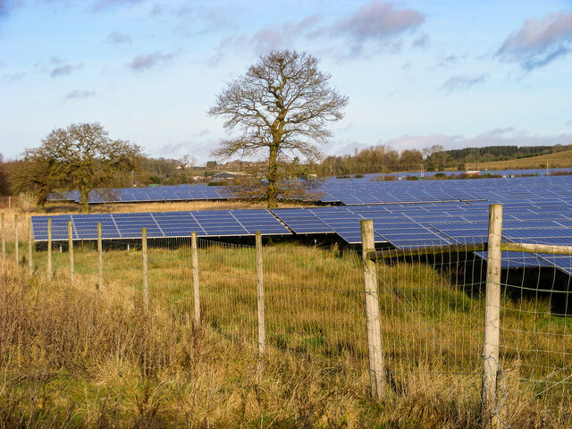
Annwell Place Images

Images are sourced within 2km of 52.758544/-1.4976307 or Grid Reference SK3418. Thanks to Geograph Open Source API. All images are credited.

Public footpath to Smisby An old field path, marked on 19th century maps, which has been incorporated into the National Forest Way.
Public footpath to Smisby
An old field path, marked on 19th century maps, which has been incorporated into the National Forest Way.
Wind turbine at Hall Farm There was a flour windmill here in the 19th century. Now there is a modern wind turbine generating electricity.
Wind turbine at Hall Farm
There was a flour windmill here in the 19th century. Now there is a modern wind turbine generating electricity.
Alpacas in Boundary The fields south of Boundary are occupied by the alpacas and other animals of Charnwood Forest Alpacas.
Alpacas in Boundary
The fields south of Boundary are occupied by the alpacas and other animals of Charnwood Forest Alpacas.
New building site In 2021, Owl Homes began work on a new building site on the edge of Woodville.
New building site
In 2021, Owl Homes began work on a new building site on the edge of Woodville.
Covered reservoir off Manchester Lane
Horses in a ridge and furrow field
Shell Brook Shell Brook runs along the edge of a small playing field, off Main Street. At the time of my visit, the channel had recently been dredged to remove mud and debris.
Shell Brook
Shell Brook runs along the edge of a small playing field, off Main Street. At the time of my visit, the channel had recently been dredged to remove mud and debris.
Construction at Bluebell Mews Bluebell Mews is a small development of new houses on the site of the demolished Bluebell Inn, pictured in <a href="https://www.geograph.org.uk/photo/2766859">SK3217 : Blackfordby Bluebell Inn</a>.
Construction at Bluebell Mews
Bluebell Mews is a small development of new houses on the site of the demolished Bluebell Inn, pictured in SK3217 : Blackfordby Bluebell Inn.
Blackfordby Village Hall Pictured in December with Santa and his reindeer outside.
Blackfordby Village Hall
Pictured in December with Santa and his reindeer outside.
Prestop Park Solar Farm A solar farm of 15.8 MW capacity, previously pictured in neighbouring grid-square: <a href="https://www.geograph.org.uk/photo/4708348">SK3316 : Prestop Park Solar Farm</a>.
Prestop Park Solar Farm
A solar farm of 15.8 MW capacity, previously pictured in neighbouring grid-square: SK3316 : Prestop Park Solar Farm.
Ashby Water Tower and Wilfred Gardens Also showing some of the Cemetery grounds ahead of the Tower.
Ashby Water Tower and Wilfred Gardens
Also showing some of the Cemetery grounds ahead of the Tower.
A new housing estate off Moira Road, Ashby-de-la-Zouch Recently built by Ashberry Homes; the name given to the development, generically nostalgic as per usual, is "Broadleaf". The main road running through the estate, unusually connecting directly to a separate estate by a different developer, is named "Bishop Hall Road". 
In the foreground is a reedbed-style balancing pool, one of the more attractive features of contemporary housing developments.
A new housing estate off Moira Road, Ashby-de-la-Zouch
Recently built by Ashberry Homes; the name given to the development, generically nostalgic as per usual, is "Broadleaf". The main road running through the estate, unusually connecting directly to a separate estate by a different developer, is named "Bishop Hall Road". In the foreground is a reedbed-style balancing pool, one of the more attractive features of contemporary housing developments.
"The Glen" and its outbuilding, Ashby-de-la-Zouch Located in the Shellbrook area of Ashby, off Moira Road. The house has recently been refurbished from its previously abandoned condition (at which time it was known to urban explorers as "Joker's Manor"). Here is the outbuilding <a href="https://www.geograph.org.uk/photo/5007940">SK3416 : A derelict barn near Shellbrook</a> and here is the Manor <a href="https://www.geograph.org.uk/photo/5857037">SK3416 : The Glen, Shellbrook (Ashby)</a>; both from several years before.
"The Glen" and its outbuilding, Ashby-de-la-Zouch
Located in the Shellbrook area of Ashby, off Moira Road. The house has recently been refurbished from its previously abandoned condition (at which time it was known to urban explorers as "Joker's Manor"). Here is the outbuilding SK3416 : A derelict barn near Shellbrook and here is the Manor SK3416 : The Glen, Shellbrook (Ashby); both from several years before.
A solar farm at Shellbrook, Ashby-de-la-Zouch Situated off Moira road, about midway between Moira/Norris Hill and Ashby. Almost all of the surrounding forestry is publicly accessible.
A solar farm at Shellbrook, Ashby-de-la-Zouch
Situated off Moira road, about midway between Moira/Norris Hill and Ashby. Almost all of the surrounding forestry is publicly accessible.
Moira Road, approaching Ashby-de-la-Zouch A relatively featureless road, aside from a sparse distribution of farmhouses along its length. The surrounding countryside is very attractive, however, and there are multiple access points onto public rights of way and open-access woodland areas.
Moira Road, approaching Ashby-de-la-Zouch
A relatively featureless road, aside from a sparse distribution of farmhouses along its length. The surrounding countryside is very attractive, however, and there are multiple access points onto public rights of way and open-access woodland areas.
Ashby-de-la-Zouch, viewed from Norris Hill The view of Ashby-de-la-Zouch from Moira/Norris Hill does not include any of the expected landmarks (Castle, St. Helen's, Loundoun Monument, Market Hall, etc.), but residential developments constructed in the last five years. Most distant prospects of the town are very much the same.
Ashby-de-la-Zouch, viewed from Norris Hill
The view of Ashby-de-la-Zouch from Moira/Norris Hill does not include any of the expected landmarks (Castle, St. Helen's, Loundoun Monument, Market Hall, etc.), but residential developments constructed in the last five years. Most distant prospects of the town are very much the same.
Residential protests at Norris Hill The term "Willow Withies" seemed confusing at the time, but a brief research revealed it to be a proposed retirement village in the greenfield land opposite. Given that the development will appear as a large apartment block in the middle of the countryside, concern would seem understandable.
Residential protests at Norris Hill
The term "Willow Withies" seemed confusing at the time, but a brief research revealed it to be a proposed retirement village in the greenfield land opposite. Given that the development will appear as a large apartment block in the middle of the countryside, concern would seem understandable.
Former playground near Devon Close
Show me another place!

Annwell Place is located at Grid Ref: SK3418 (Lat: 52.758544, Lng: -1.4976307)

Administrative County: Derbyshire

District: South Derbyshire

Police Authority: Derbyshire

What 3 Words

///cheaper.uproot.stiffly. Near Ashby de la Zouch, Leicestershire

Related Wikis

Bluebell Arboretum

Bluebell Arboretum is an arboretum and associated plant nursery near the village of Smisby in South Derbyshire, England. It is a Royal Horticultural Society...

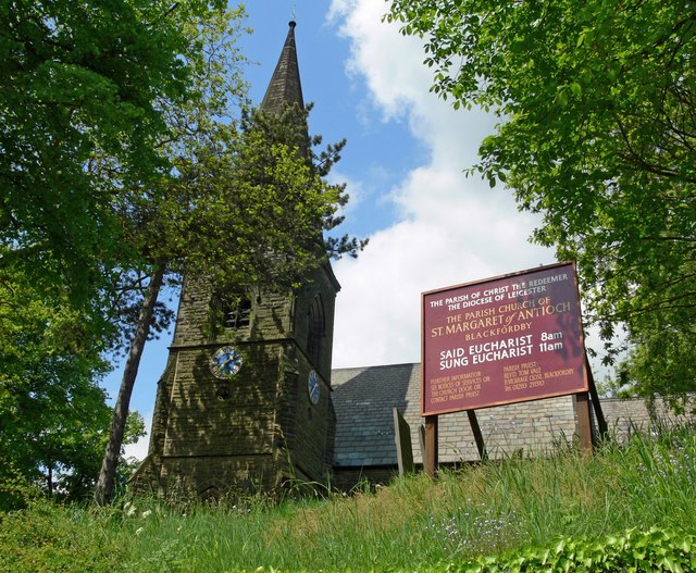
Church of St Margaret of Antioch, Blackfordby

The Church of St Margaret of Antioch is a church in Blackfordby, Leicestershire. It is a Grade II listed building. == History == === Exterior === The church...

Blackfordby

Blackfordby is a small village and former civil parish, now in the parish of Ashby-de-la-Zouch, in the North West Leicestershire district, in the northwesternmost...

Smisby

Smisby is an ancient manor, civil parish and small village in South Derbyshire, England. It is 4 miles (6.4 km) from Melbourne and near the Leicestershire...

Boundary, Derbyshire

Boundary is a large hamlet and as The Boundary a former civil parish, in South Derbyshire situated between the towns of Swadlincote and Ashby-de-la-Zouch...

Smisby lock-up

The lock-up (or roundhouse) in Smisby, Derbyshire, England, is a village lock-up dating from the late 18th century. Such lock-ups were fairly common in...

St James' Church, Smisby

St James’ Church, Smisby is a Grade I listed parish church in the Church of England in Smisby, Derbyshire. == History == The church is medieval with elements...
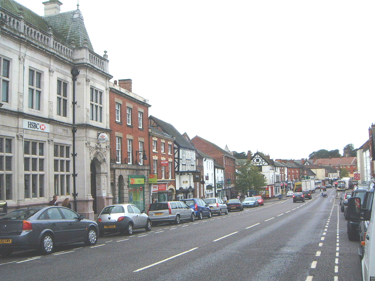
Ashby-de-la-Zouch

Ashby-de-la-Zouch (), also spelled Ashby de la Zouch, is a market town and civil parish in the North West Leicestershire district of Leicestershire, England...

Nearby Amenities

Located within 500m of 52.758544,-1.4976307
Pub
The Tap House
Addr Postcode: LE65 2TA
Addr Street: Annwell Lane
Addr Village: Smisby
Fhrs Id: 283251
Website: https://taphousesmisby.co.uk/
Lat/Long: 52.7603414/-1.4963651
Bus Stop
Annwell Lane
Bench: no
Bin: no
Bus: yes
Lit: yes
Naptan AtcoCode: 260013212
Naptan NaptanCode: leijdpmd
Public Transport: platform
Shelter: no
Tactile Paving: no
Lat/Long: 52.760449/-1.4966753
Bus Stop
Annwell Lane
Bus: yes
Naptan AtcoCode: 260013217
Naptan NaptanCode: leijdpmw
Public Transport: platform
Lat/Long: 52.7625907/-1.4980754
Material: wood
Power: pole
Lat/Long: 52.757386/-1.491724
Material: wood
Power: pole
Lat/Long: 52.7573308/-1.4921236
Material: wood
Power: pole
Lat/Long: 52.7566702/-1.4926413
Material: wood
Power: pole
Lat/Long: 52.7558683/-1.4932743
Material: wood
Power: pole
Lat/Long: 52.7550956/-1.4938885
The data included in this document is from www.openstreetmap.org. The data is made available under ODbL.

Have you been to Annwell Place?

Leave your review of Annwell Place below (or comments, questions and feedback).