Samson's Wood
Wood, Forest in Cumberland Allerdale
England
Samson's Wood
Samson's Wood is a picturesque forest located in Cumberland, a county in the northwestern part of England. Covering an expansive area of lush greenery, this woodland is a haven for nature enthusiasts and a popular destination for hikers, birdwatchers, and wildlife lovers alike.
The forest is named after Samson, a legendary figure from local folklore, whose strength was said to be derived from the trees of this very wood. The towering trees provide a breathtaking canopy that filters sunlight, creating a serene and peaceful atmosphere within the forest.
Samson's Wood is home to a diverse range of flora and fauna, with an abundance of native plant species such as oak, beech, and birch trees. The forest floor is adorned with vibrant wildflowers and mosses, creating a beautiful tapestry of colors. It is not uncommon to spot squirrels scurrying up the trees or deer grazing in the clearing.
Birdsong fills the air, as numerous avian species call this woodland home. Ornithologists will delight in the opportunity to spot rare birds such as the Eurasian sparrowhawk, the great spotted woodpecker, and the tawny owl, among others.
Visitors to Samson's Wood can explore the network of well-maintained walking trails that wind through the forest, offering stunning views of the surrounding countryside and the chance to immerse oneself in the tranquil ambiance of this natural wonderland.
If you have any feedback on the listing, please let us know in the comments section below.
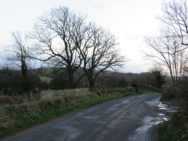
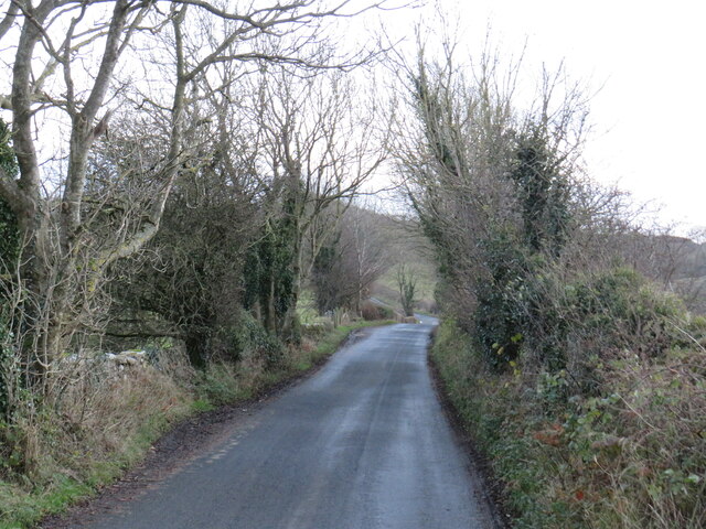
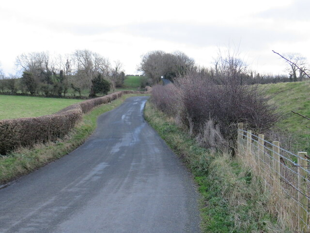
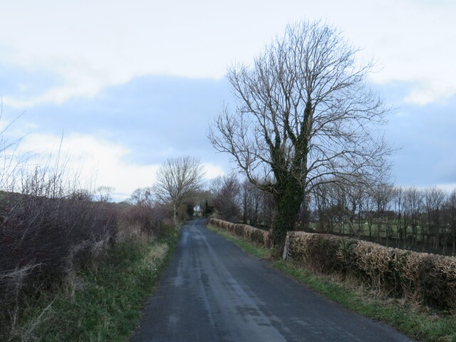
Samson's Wood Images
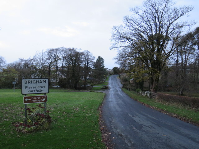
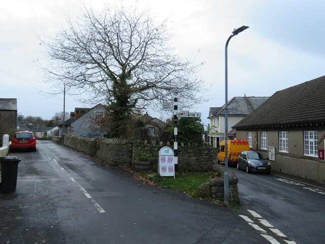
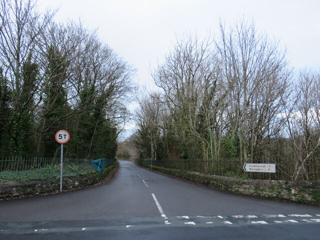
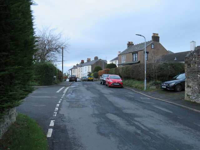
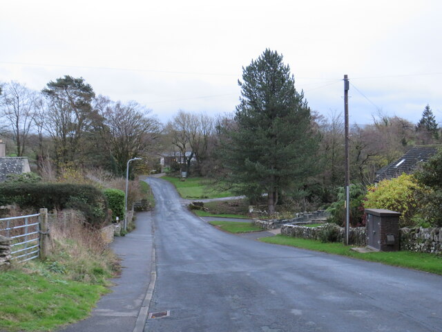
Images are sourced within 2km of 54.658213/-3.4067684 or Grid Reference NY0930. Thanks to Geograph Open Source API. All images are credited.


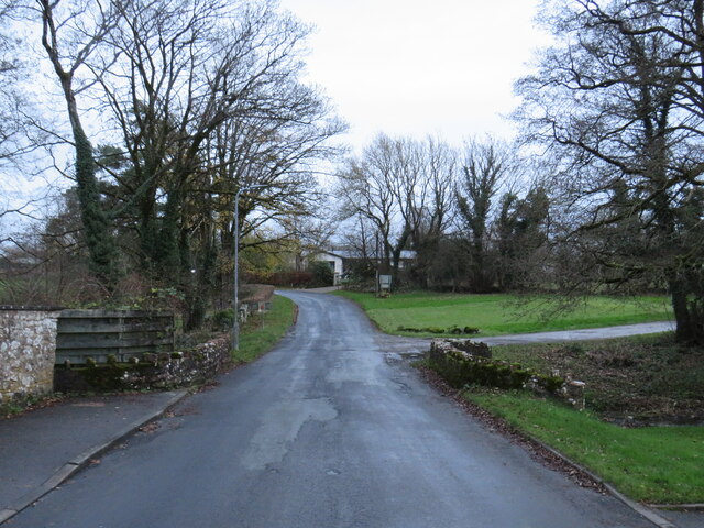
Samson's Wood is located at Grid Ref: NY0930 (Lat: 54.658213, Lng: -3.4067684)
Administrative County: Cumbria
District: Allerdale
Police Authority: Cumbria
What 3 Words
///sketches.walled.flinches. Near Cockermouth, Cumbria
Nearby Locations
Related Wikis
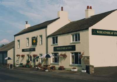
Brigham, Cumbria
Brigham is a village in Cumbria, England. The village is near to the town of Cockermouth and is located just outside the Lake District National Park....
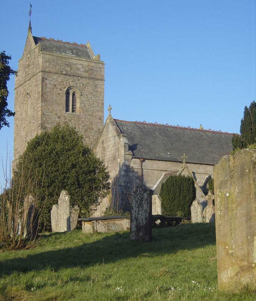
St Bridget's Church, Brigham
St Bridget's Church is in the village of Brigham, Cumbria, England. It is an active Anglican parish church in the deanery of Solway, the archdeaconry...
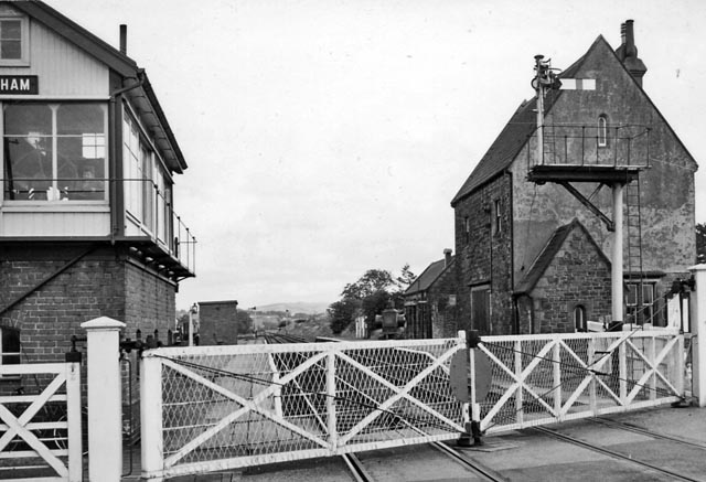
Brigham railway station
Brigham railway station was situated on the Cockermouth and Workington Railway at its junction with the Maryport and Carlisle Railway's Derwent Branch...
Papcastle railway station
Papcastle railway station was on the single track Derwent Branch of the Maryport and Carlisle Railway (M&CR) in the then county of Cumberland, now Cumbria...
Nearby Amenities
Located within 500m of 54.658213,-3.4067684Have you been to Samson's Wood?
Leave your review of Samson's Wood below (or comments, questions and feedback).