Howgill Wood
Wood, Forest in Cumberland Copeland
England
Howgill Wood
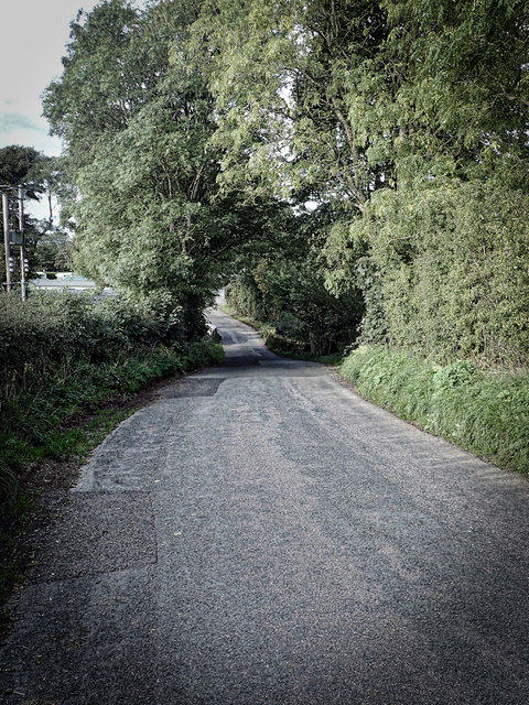
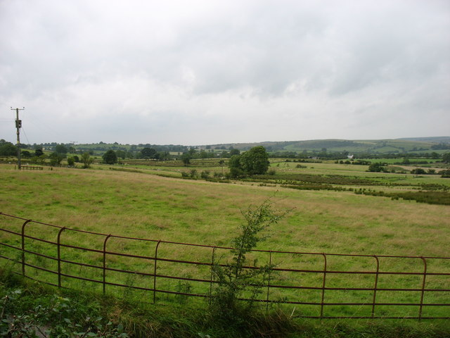
Howgill Wood is a picturesque woodland located in the county of Cumberland, England. Covering an area of approximately 100 acres, it is situated on the eastern slopes of Howgill Fells, near the village of Ravenstonedale.
The woodland is predominantly composed of native broadleaf trees, such as oak, beech, ash, and birch, creating a diverse and vibrant ecosystem. The dense canopy provides shelter and a habitat for a wide variety of bird species, including woodpeckers, thrushes, and owls. Additionally, the undergrowth is home to small mammals, such as squirrels and rabbits.
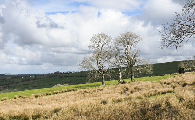
Visitors to Howgill Wood can enjoy a tranquil and peaceful environment, perfect for walking and exploring nature. There are several well-maintained trails that wind through the woodland, allowing visitors to immerse themselves in the natural beauty and serenity of the surroundings. The trails offer stunning views of the rolling hills and valleys, making it an ideal spot for photography enthusiasts.
In addition to its natural beauty, Howgill Wood also has historical significance. The wood contains ancient remains of charcoal platforms, which were used in the past for charcoal production. This historical feature adds a layer of intrigue and fascination to the woodland, making it not only a place of natural beauty but also a site of cultural importance.
Overall, Howgill Wood offers visitors a chance to escape the hustle and bustle of everyday life and immerse themselves in the tranquility and beauty of nature. Whether it is exploring the woodland trails, observing the diverse wildlife, or simply enjoying the serene atmosphere, Howgill Wood is a true gem in the heart of Cumberland.
If you have any feedback on the listing, please let us know in the comments section below.
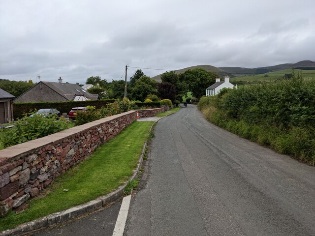
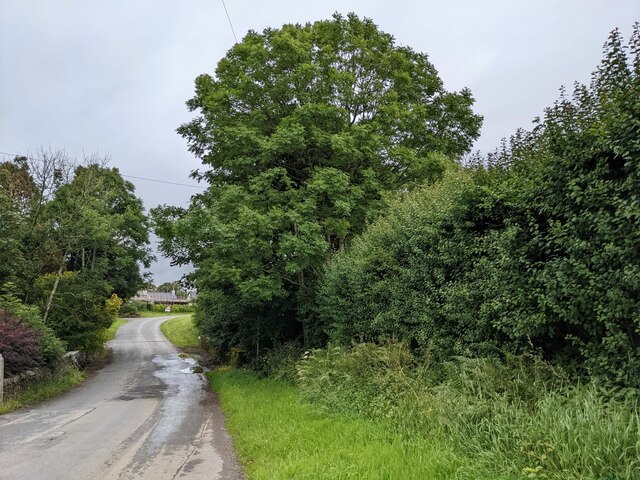
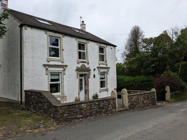
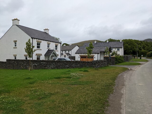
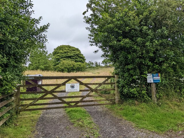
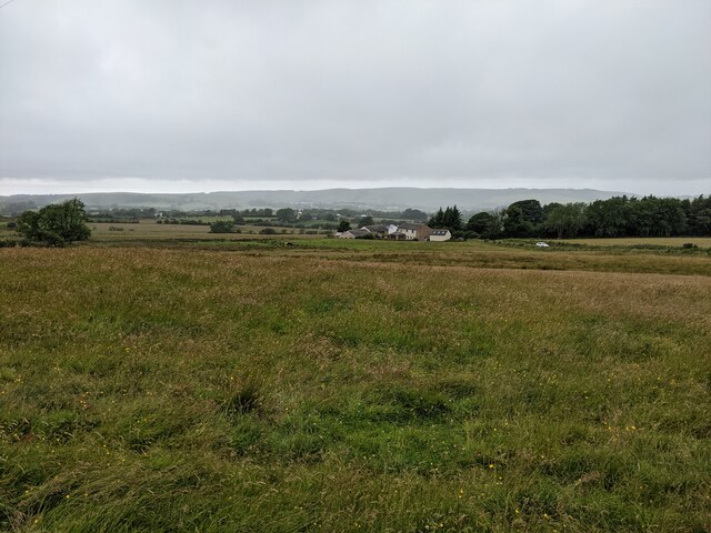
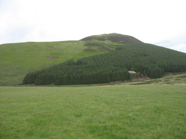
Howgill Wood Images
Images are sourced within 2km of 54.572558/-3.4039398 or Grid Reference NY0920. Thanks to Geograph Open Source API. All images are credited.
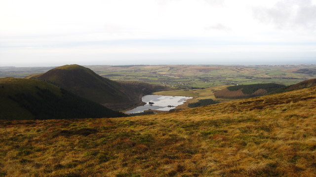
![Murton Fell [Knock Murton] Via Harris Side from minor road on grey day.
Name: Murton Fell [Knock Murton]
Hill number: 2492
Height: 447m / 1467ft
Area: 34B: Lake District - Central &amp; Western Fells
Class: Hu,sMa,B
Grid ref: NY 09485 19079
Summit feature: no feature: 2m from small narrow cairn
Drop: 141m
Col: 306m NY098188](https://s0.geograph.org.uk/geophotos/03/30/99/3309968_a14d8fdb.jpg)
Howgill Wood is located at Grid Ref: NY0920 (Lat: 54.572558, Lng: -3.4039398)
Administrative County: Cumbria
District: Copeland
Police Authority: Cumbria
What 3 Words
///heaven.scarred.romance. Near Frizington, Cumbria
Nearby Locations
Related Wikis

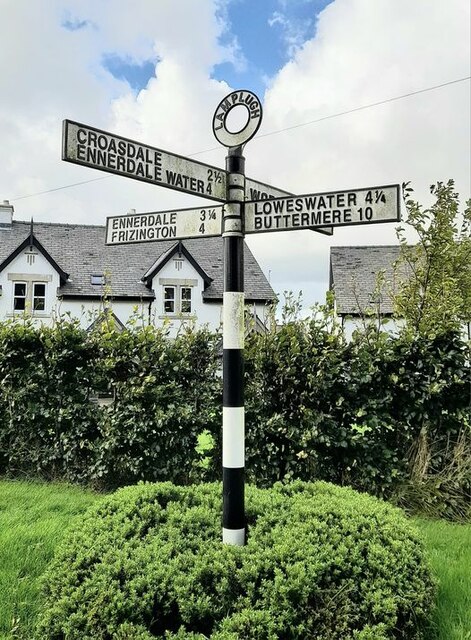
Lamplugh
Lamplugh () is a scattered community and civil parish located in West Cumbria on the edge of the English Lake District and historically part of Cumberland...
St Michael, Lamplugh
St Michael is in Lamplugh, Cumbria, England. It is an active Anglican parish church in the deanery of Calder, and the diocese of Carlisle. Its benefice...

Cogra Moss
Cogra Moss is a shallow reservoir to the east of the village of Lamplugh on the western edge of the English Lake District. It was created by the damming...

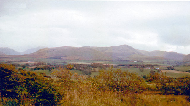
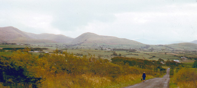
Knock Murton
Knock Murton or Murton Fell is a hill of 464.4 metres (1,524 ft) in the north west of the Lake District, England. It lies in the Borough of Copeland in...
Nearby Amenities
Located within 500m of 54.572558,-3.4039398Have you been to Howgill Wood?
Leave your review of Howgill Wood below (or comments, questions and feedback).