Hartrow Brake
Wood, Forest in Somerset Somerset West and Taunton
England
Hartrow Brake
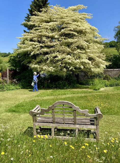
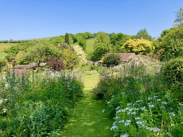
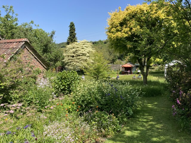
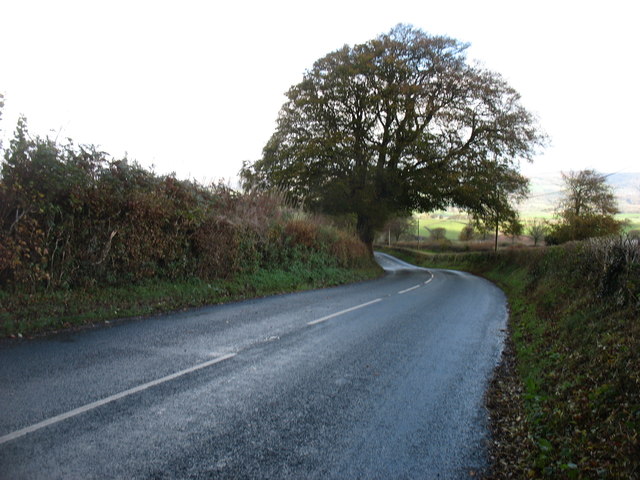
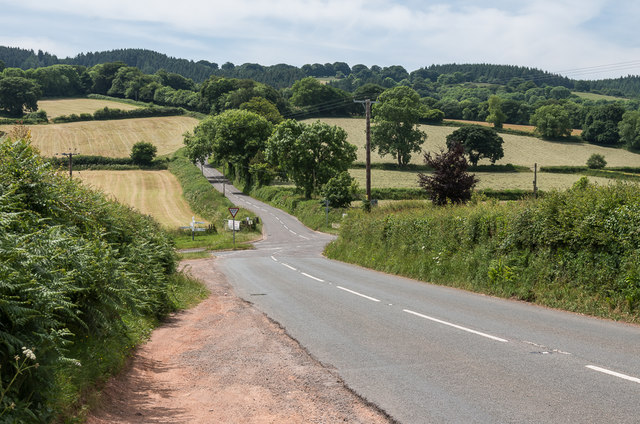
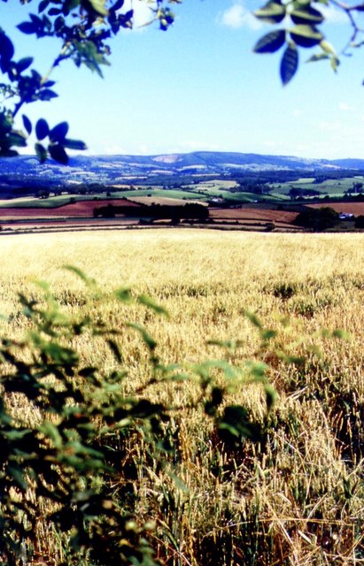
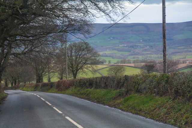
Hartrow Brake, located in Somerset, England, is a picturesque wood and forest area renowned for its natural beauty and tranquility. Spanning approximately 250 acres, this woodland enclave offers visitors a chance to immerse themselves in the stunning surroundings that Somerset has to offer.
The forest is primarily composed of broadleaf trees, including oak, beech, and ash, which create a dense canopy overhead, casting dappled sunlight onto the forest floor. The diverse ecosystem supports a variety of wildlife, including deer, badgers, and a myriad of bird species. It is not uncommon to catch a glimpse of a red kite soaring above the treetops, adding to the enchanting ambiance.
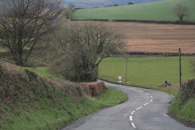
The forest is crisscrossed by a network of well-maintained trails, allowing visitors to explore the area on foot or by bike. These paths wind through the woodland, taking visitors to hidden glades, babbling brooks, and scenic viewpoints. The peaceful atmosphere and the soothing sound of birdsong provide a welcome respite from the hustle and bustle of everyday life.
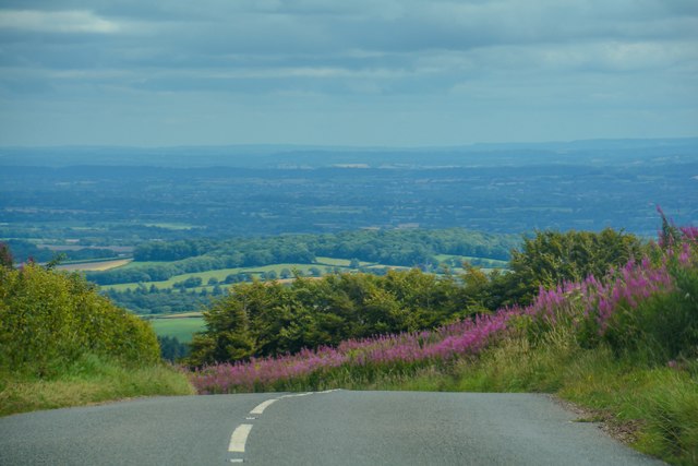
Hartrow Brake is a popular destination for nature enthusiasts, hikers, and families looking to spend quality time outdoors. The wood offers ample opportunities for picnics, nature walks, and wildlife spotting. It is also a fantastic location for photographers, with its striking landscapes and abundant wildlife providing endless inspiration.
Visitors to Hartrow Brake can expect to find a haven of tranquility in the heart of Somerset. The wood's natural beauty, diverse wildlife, and well-maintained trails make it an ideal destination for those seeking a peaceful escape amidst nature's wonders.
If you have any feedback on the listing, please let us know in the comments section below.
Hartrow Brake Images
Images are sourced within 2km of 51.098004/-3.2985472 or Grid Reference ST0933. Thanks to Geograph Open Source API. All images are credited.


Hartrow Brake is located at Grid Ref: ST0933 (Lat: 51.098004, Lng: -3.2985472)
Administrative County: Somerset
District: Somerset West and Taunton
Police Authority: Avon and Somerset
What 3 Words
///truckload.shelved.flaked. Near Wiveliscombe, Somerset
Nearby Locations
Related Wikis
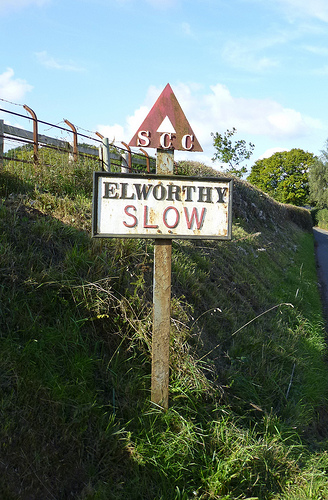
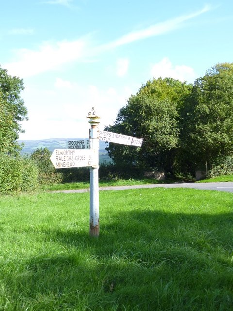
Elworthy
Elworthy is a small village and civil parish in the Brendon Hills 5 miles (8 km) south-east of Watchet, and 12 miles (19 km) west of Taunton, in the Somerset...
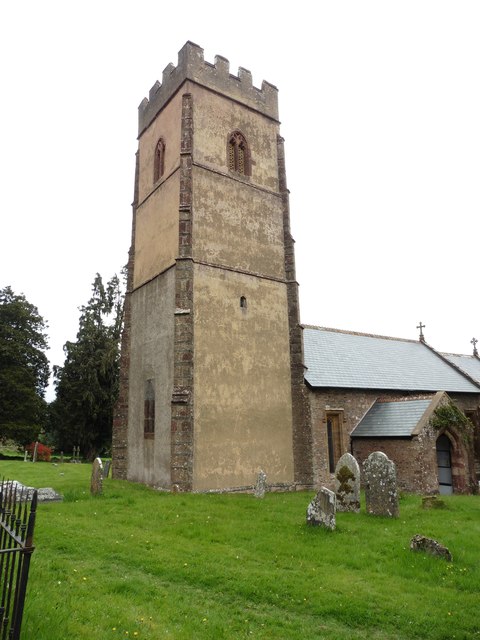
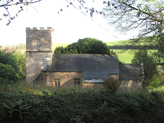
Church of St Martin, Elworthy
The Church of St Martin in Elworthy, Somerset, England, is dedicated to St Martin of Tours. It dates from the 13th century and is recorded in the National...

Brompton Ralph
Brompton Ralph is a village and civil parish in the Somerset West and Taunton district of Somerset, England, about 11 miles (18 km) west of Taunton, and...

Church of St Mary, Brompton Ralph
The Anglican Church of St Mary in Brompton Ralph, Somerset, England was built in the 15th century. It is a Grade II* listed building. == History == Parts...

Tolland, Somerset
Tolland is a village and civil parish in Somerset, England, situated 9 miles (14.5 km) north west of Taunton, between the Brendon Hills and Quantock Hills...
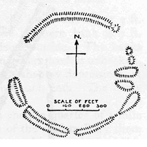
Elworthy Barrows
Elworthy Barrows is an unfinished Iron Age hill fort, rather than Bronze Age barrows, which is designated a scheduled ancient monument (No:188401). It...

Ruby Country
Ruby Country is the name given to the rural inland hinterland of north-west Devon, UK. It covers 45 parishes around the market towns of Holsworthy and...
Gaulden Manor
Gaulden Manor (also Gavelden or Gaveldene) is a Grade II* listed country house to the southeast of Tolland, Somerset, England. It is a double storied building...
Nearby Amenities
Located within 500m of 51.098004,-3.2985472Have you been to Hartrow Brake?
Leave your review of Hartrow Brake below (or comments, questions and feedback).