Bitter Cleeve Copse
Wood, Forest in Somerset Somerset West and Taunton
England
Bitter Cleeve Copse
Bitter Cleeve Copse is a picturesque woodland located in Somerset, England. Spanning an area of approximately 20 acres, this copse is renowned for its natural beauty and diverse flora and fauna. It is situated near the village of Bitterwell, just south of the Mendip Hills.
The woodland is characterized by a mix of deciduous and coniferous trees, including oak, beech, ash, and pine, which create a dense and vibrant canopy. The forest floor is carpeted with an array of wildflowers, including primroses, bluebells, and wood anemones, adding bursts of color to the landscape during the spring and summer months.
Bitter Cleeve Copse is home to numerous species of wildlife, making it a haven for nature enthusiasts. Visitors may encounter a variety of bird species, such as woodpeckers, tawny owls, and nuthatches, as well as small mammals like foxes, badgers, and squirrels. The copse also provides a habitat for several species of bats, including the common pipistrelle and the noctule bat.
The woodland offers several walking trails and paths, allowing visitors to explore its natural wonders at their own pace. Whether it's a leisurely stroll or a more adventurous hike, Bitter Cleeve Copse offers something for everyone. Additionally, the copse is a popular spot for birdwatching and nature photography, providing ample opportunities to capture the beauty of the surrounding environment.
Overall, Bitter Cleeve Copse is a tranquil and scenic woodland that showcases the natural splendor of Somerset. Its diverse ecosystem and breathtaking landscapes make it a must-visit destination for nature lovers and outdoor enthusiasts alike.
If you have any feedback on the listing, please let us know in the comments section below.
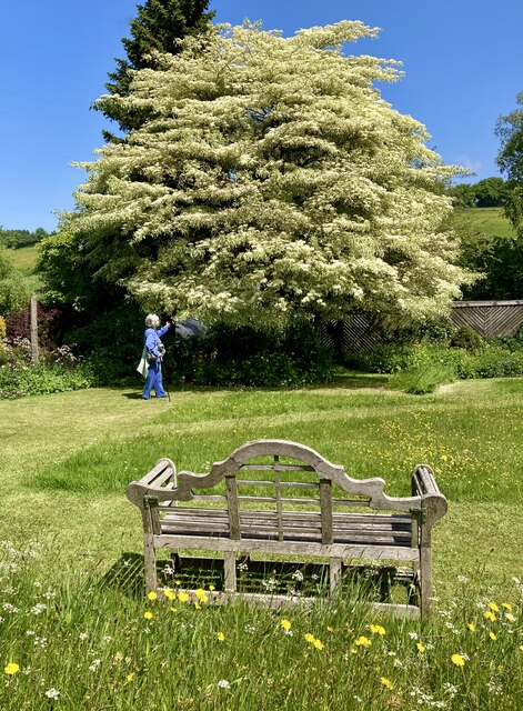
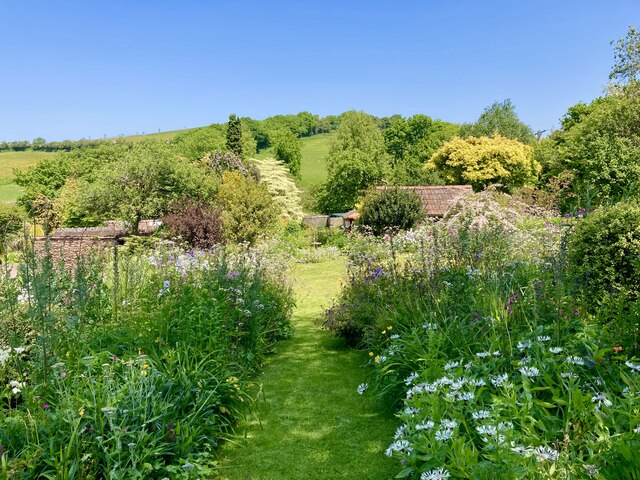
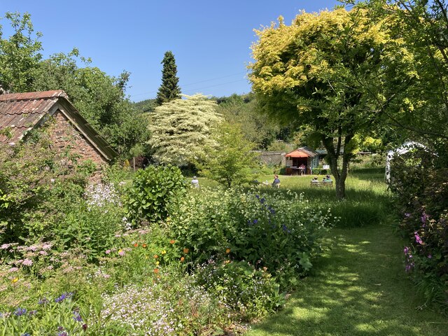
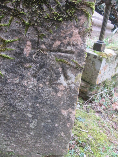
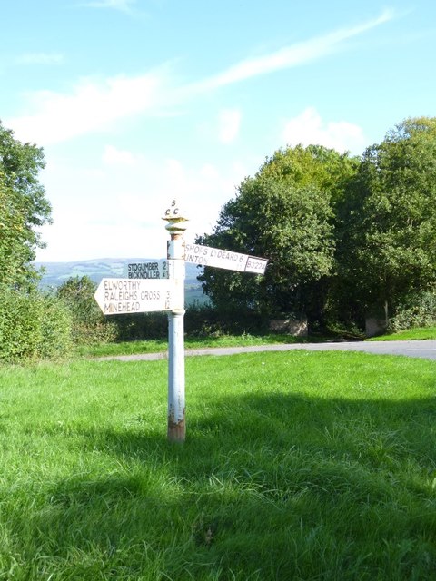
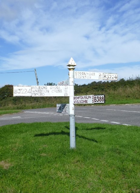
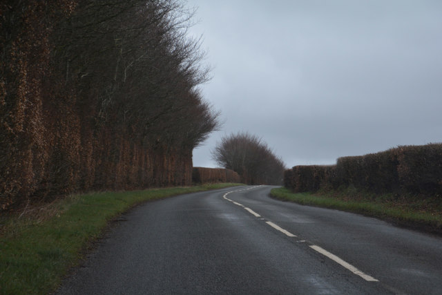
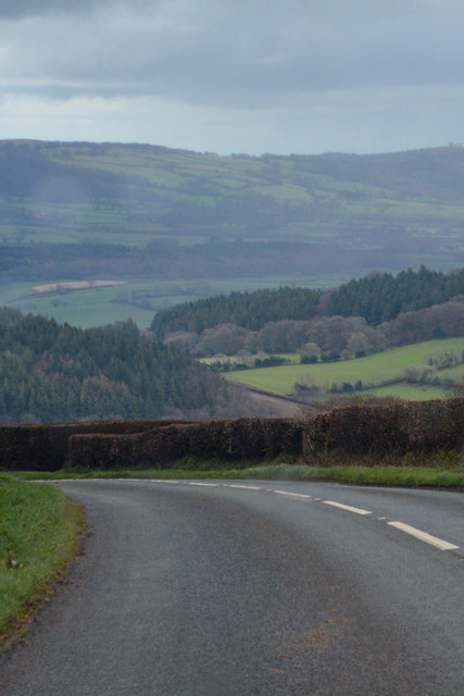
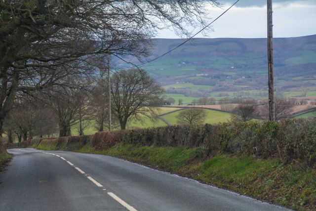
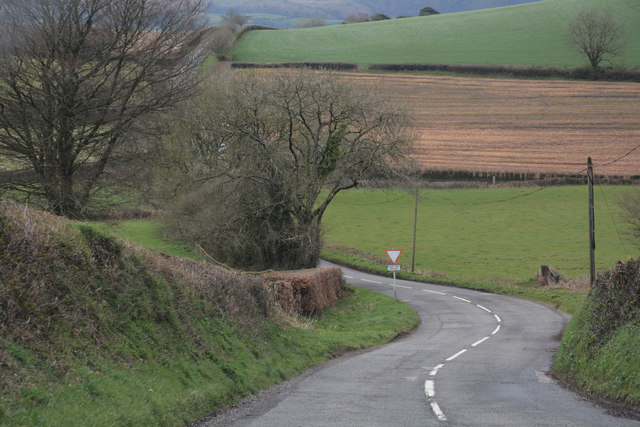
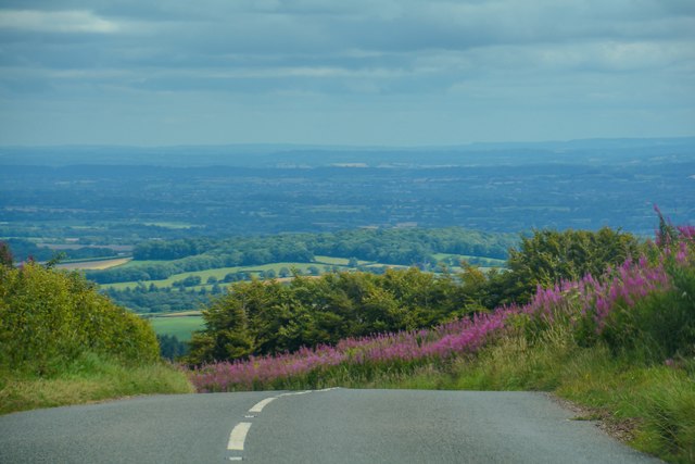
Bitter Cleeve Copse Images
Images are sourced within 2km of 51.090959/-3.3045614 or Grid Reference ST0833. Thanks to Geograph Open Source API. All images are credited.


Bitter Cleeve Copse is located at Grid Ref: ST0833 (Lat: 51.090959, Lng: -3.3045614)
Administrative County: Somerset
District: Somerset West and Taunton
Police Authority: Avon and Somerset
What 3 Words
///watching.habits.lifetimes. Near Wiveliscombe, Somerset
Nearby Locations
Related Wikis

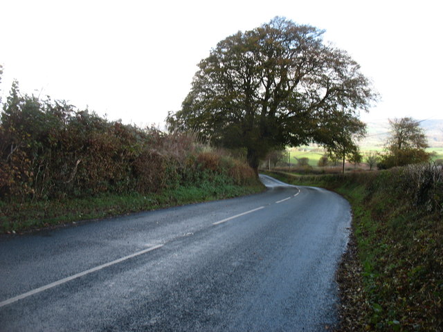
Brompton Ralph
Brompton Ralph is a village and civil parish in the Somerset West and Taunton district of Somerset, England, about 11 miles (18 km) west of Taunton, and...

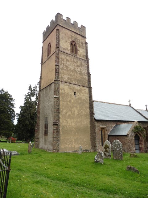
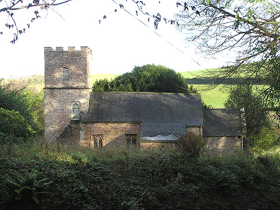
Church of St Mary, Brompton Ralph
The Anglican Church of St Mary in Brompton Ralph, Somerset, England was built in the 15th century. It is a Grade II* listed building. == History == Parts...
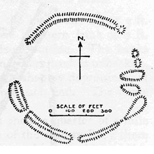
Elworthy Barrows
Elworthy Barrows is an unfinished Iron Age hill fort, rather than Bronze Age barrows, which is designated a scheduled ancient monument (No:188401). It...
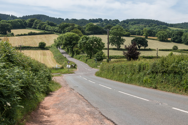
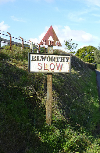
Elworthy
Elworthy is a small village and civil parish in the Brendon Hills 5 miles (8 km) south-east of Watchet, and 12 miles (19 km) west of Taunton, in the Somerset...
Nearby Amenities
Located within 500m of 51.090959,-3.3045614Have you been to Bitter Cleeve Copse?
Leave your review of Bitter Cleeve Copse below (or comments, questions and feedback).