Clayton
Settlement in Fife
Scotland
Clayton

Clayton is a small village located in the county of Fife, Scotland. Situated approximately 8 miles southwest of the town of Cupar, Clayton is nestled in the picturesque countryside of this region. The village is home to a population of around 500 residents, giving it a close-knit and welcoming community atmosphere.
The village of Clayton is characterized by its charming traditional architecture, with many buildings dating back several centuries. The village center is dominated by a beautiful church, which serves as a focal point for the community and holds regular services and events.
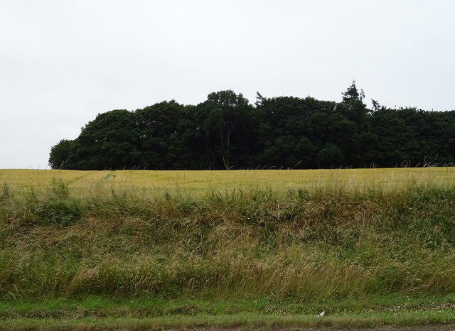
Surrounded by undulating hills and rolling farmland, Clayton offers stunning views of the surrounding countryside. This makes it an ideal location for outdoor enthusiasts who enjoy activities such as hiking, cycling, and nature walks. The village also benefits from its proximity to the Lomond Hills Regional Park, a popular destination for outdoor recreation.
Despite its small size, Clayton has a few amenities to cater to the needs of its residents. These include a local convenience store, a village hall that hosts social events and community gatherings, and a primary school that provides education for the village’s younger population.
Transport links in Clayton are relatively limited, with a few bus services connecting the village to nearby towns and villages. However, due to its rural location, many residents rely on private vehicles for transportation.
Overall, Clayton offers a peaceful and idyllic lifestyle, with its natural beauty and strong sense of community making it an appealing place to reside.
If you have any feedback on the listing, please let us know in the comments section below.
Clayton Images
Images are sourced within 2km of 56.350891/-2.9238907 or Grid Reference NO4318. Thanks to Geograph Open Source API. All images are credited.


Clayton is located at Grid Ref: NO4318 (Lat: 56.350891, Lng: -2.9238907)
Unitary Authority: Fife
Police Authority: Fife
What 3 Words
///stables.greed.prune. Near Balmullo, Fife
Nearby Locations
Related Wikis

Dairsie Hoard
The Dairsie Hoard is a hoard of late 3rd century Roman hacksilver that was found near Dairsie, Fife, Scotland in 2014 by a teenage boy, David Hall, at...

Dairsie
Dairsie, or Osnaburgh, is a village and parish in north-east Fife, Scotland. It is 3 miles (4.8 km) south-southwest of Leuchars Junction, and 3 miles...
Dairsie railway station
Dairsie railway station served the village of Dairsie, Fife, Scotland from 1848 to 1954 on the Edinburgh and Northern Railway. == History == The station...
Guardbridge railway station
Guardbridge railway station served the village of Guardbridge, Fife, Scotland from 1862 to 1965 on The St. Andrews Railway. == History == The station opened...

St Andrews Rail Link
The St Andrews Rail Link (StARLink) Campaign was established in 1989 with the aim of reconnecting Scottish town of St Andrews to the railway. The historical...

Guardbridge
Guardbridge (Scots: Gairbrig) is a village in the north-east of Fife, on the east coast of Scotland. It is approximately 3 miles (5 km) north-west of St...

Dairsie Bridge
Dairsie Bridge is a 16th-century stone bridge, located 1.2 kilometres (0.75 mi) south of Dairsie, in north-east Fife, Scotland. It carries a minor road...

Eden Mill St Andrews distillery
Eden Mill St Andrews is a specialist independent Scotch whisky distillery and microbrewery and based in Guardbridge, Scotland, about 3 miles (5 km) north...
Nearby Amenities
Located within 500m of 56.350891,-2.9238907Have you been to Clayton?
Leave your review of Clayton below (or comments, questions and feedback).