Claypole

Settlement in Lincolnshire South Kesteven

England

Claypole

The Side House, Claypole Coffee shop attached to Clayole Village Hall.
The Side House, Claypole Credit: Jonathan Thacker

Claypole is a quaint village located in the district of North Kesteven, in the county of Lincolnshire, England. Situated approximately 14 miles south of the city of Lincoln, the village is nestled amidst the picturesque countryside of the county. With a population of around 600 residents, Claypole offers a peaceful and close-knit community atmosphere.

The village is known for its charming and historic architecture, with many of the buildings dating back to the 17th and 18th centuries. The centerpiece of Claypole is the St. Peter's Church, a grade II listed building that stands proudly in the heart of the village. This beautiful church, with its striking tower and stained glass windows, serves as a reminder of Claypole's rich heritage.

Despite its small size, Claypole offers a range of amenities to its residents and visitors. These include a village hall, a primary school, a post office, and a local pub. The village also benefits from excellent transport links, with easy access to major roads and nearby train stations.

The surrounding countryside provides ample opportunities for outdoor activities, such as walking, cycling, and horse riding. Moreover, the village is within close proximity to popular tourist destinations in Lincolnshire, including the historic city of Lincoln, with its famous cathedral and castle.

In summary, Claypole is a tranquil village in Lincolnshire, boasting a close-knit community, historic architecture, and easy access to both rural and urban attractions. It offers a peaceful and idyllic setting for those seeking a quieter way of life or a picturesque getaway.

If you have any feedback on the listing, please let us know in the comments section below.
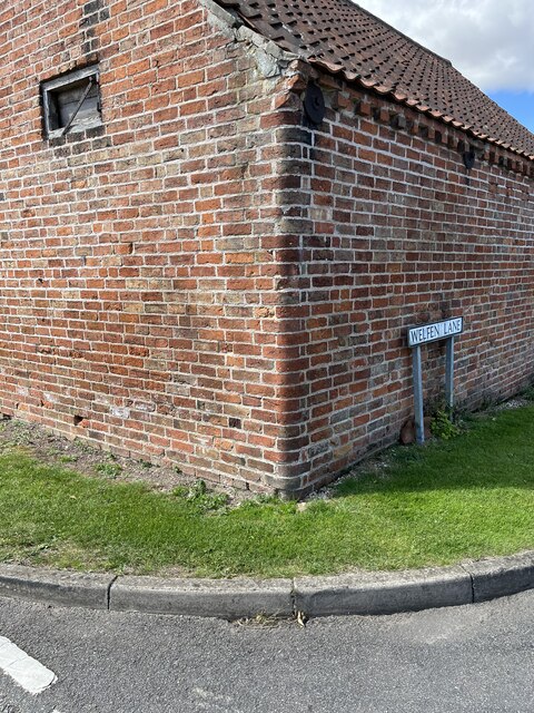
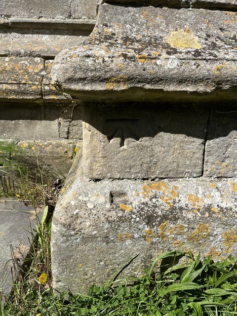
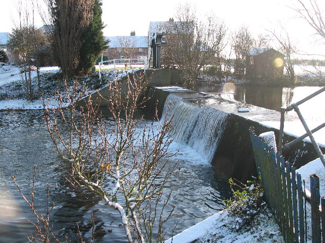
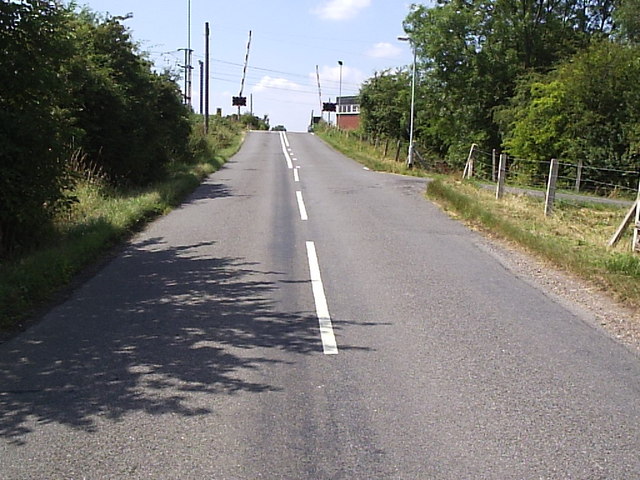
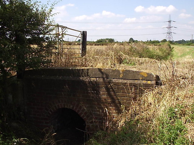
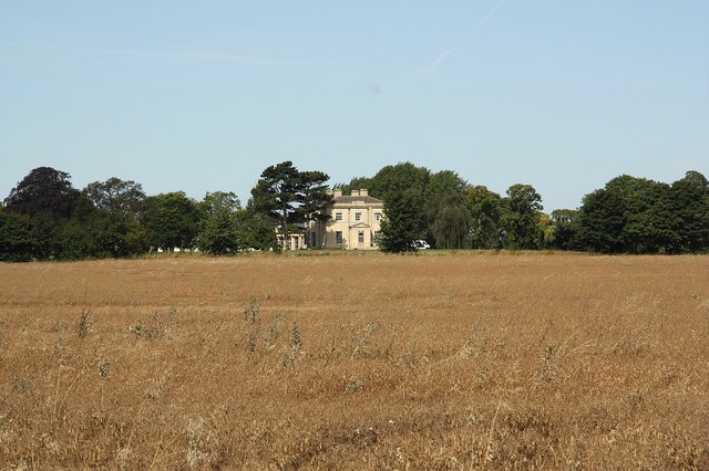
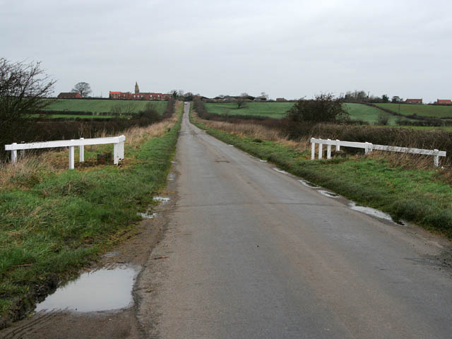
Claypole Images

Images are sourced within 2km of 53.031379/-0.730045 or Grid Reference SK8548. Thanks to Geograph Open Source API. All images are credited.

The Side House, Claypole Coffee shop attached to Clayole Village Hall.
The Side House, Claypole
Coffee shop attached to Clayole Village Hall.
Stubble field off Barnby Lane
Claypole, Barnby Lane, Cut Mark Benchmark on the corner of Barnby Lane and Welfen Lane in Claypole, Lincolnshire
Claypole, Barnby Lane, Cut Mark
Benchmark on the corner of Barnby Lane and Welfen Lane in Claypole, Lincolnshire
Claypole, St Peter's Church, Cut Mark Benchmark on St Peter's Church, Claypole, Lincolnshire
Claypole, St Peter's Church, Cut Mark
Benchmark on St Peter's Church, Claypole, Lincolnshire
Martin's Plantation
Martin's Plantation
Church of St Peter Grade I listed.

The church dates from circa 1300, and is built from ashlar with the lead roofs. The church is a cruciform plan with a west tower and spire, nave with north and south aisles, south porch, transepts, chancel and north vestry.
The tower is of four stages, the two lower of circa 1300, the two upper of circa 1500. On the east side of the nave the original steeply pitched roofline is visible. The tower has ornate pinnacles and projecting gargoyles, the octagonal spire is 15th century with lucarnes, Crockets and finial.

The nave has clerestory windows of three lights. There are moulded eaves with corbel heads above,and a frieze of shields, battlements and ornate pinnacles.
The north aisle has an early 14th century west window and on the roof is a small bell turret,the north transept has early 14th century window of three lights. 

The chancel is 15th century and was restored in the 19th C. It has two large windows on both north and south sides each of three lights. There are hood moulds and grotesque animal label stops.There is a large pointed east window of five lights with perpendicular tracery.
The original roofline of the chancel is visible on the east end of the nave. 
The south transept was probably remodelled in the 15th century from a detached lady Chapel built circa 1275. The west side of the transept has 14th century windows with head label stops.
The porch is 14th century and has 15th century ornamentation, it has projecting gargoyles and ornate pinnacles. It contains stone benches and a corbel that once supported a roof, one is dated 1631.
The 14th century west door has foliated capitals with elaborate finials.

The nave has three bays, with piers from circa 1300.
The south wall of the south transept has three 13th century sedilia and two aumbries. The chancel arch is from the 14th century and has caryatid figures. There is a 14th century screen which was restored in the 19th century. 
There is a 14th century hexagonal font with ornate Gables and pinnacles.
The church contains various small 18th and 19th-century monuments.

The church has recently undergone much restoration work including work to the spire, tower, bells, roof, windows and a new boiler system.
Church of St Peter
Grade I listed. The church dates from circa 1300, and is built from ashlar with the lead roofs. The church is a cruciform plan with a west tower and spire, nave with north and south aisles, south porch, transepts, chancel and north vestry. The tower is of four stages, the two lower of circa 1300, the two upper of circa 1500. On the east side of the nave the original steeply pitched roofline is visible. The tower has ornate pinnacles and projecting gargoyles, the octagonal spire is 15th century with lucarnes, Crockets and finial. The nave has clerestory windows of three lights. There are moulded eaves with corbel heads above,and a frieze of shields, battlements and ornate pinnacles. The north aisle has an early 14th century west window and on the roof is a small bell turret,the north transept has early 14th century window of three lights. The chancel is 15th century and was restored in the 19th C. It has two large windows on both north and south sides each of three lights. There are hood moulds and grotesque animal label stops.There is a large pointed east window of five lights with perpendicular tracery. The original roofline of the chancel is visible on the east end of the nave. The south transept was probably remodelled in the 15th century from a detached lady Chapel built circa 1275. The west side of the transept has 14th century windows with head label stops. The porch is 14th century and has 15th century ornamentation, it has projecting gargoyles and ornate pinnacles. It contains stone benches and a corbel that once supported a roof, one is dated 1631. The 14th century west door has foliated capitals with elaborate finials. The nave has three bays, with piers from circa 1300. The south wall of the south transept has three 13th century sedilia and two aumbries. The chancel arch is from the 14th century and has caryatid figures. There is a 14th century screen which was restored in the 19th century. There is a 14th century hexagonal font with ornate Gables and pinnacles. The church contains various small 18th and 19th-century monuments. The church has recently undergone much restoration work including work to the spire, tower, bells, roof, windows and a new boiler system.
Hedge and field
Hedge and field
Mill Farm Bridge & Millpond, Claypole.
Claypole Weir, Mill Farm.
Saint Peter's Church, Claypole
East Coast Mainline, Claypole. Looking South along the East coast mainline from Oster Lane crossing. Claypole station used to be sited approx 200m from this point.
East Coast Mainline, Claypole.
Looking South along the East coast mainline from Oster Lane crossing. Claypole station used to be sited approx 200m from this point.
Stubber Hill Plantation, Stubton.
Path to Claypole
Path to Claypole
Claypole Across oil seed rape in full flower
Claypole
Across oil seed rape in full flower
High Level Crossing The east coast mainline crosses this village road in Claypole.  The former railway station was just to the left (south) of the crossing.
High Level Crossing
The east coast mainline crosses this village road in Claypole. The former railway station was just to the left (south) of the crossing.
Tidy Chapel This former chapel in Claypole appears to have recently been restored.
Tidy Chapel
This former chapel in Claypole appears to have recently been restored.
Ditch Bridge This bridge carries farm traffic into the fields beyond this land drain.
Ditch Bridge
This bridge carries farm traffic into the fields beyond this land drain.
Footpath to Claypole Track from Stubton to Claypole
Footpath to Claypole
Track from Stubton to Claypole
Show me another place!

Claypole is located at Grid Ref: SK8548 (Lat: 53.031379, Lng: -0.730045)

Division: Parts of Kesteven

Administrative County: Lincolnshire

District: South Kesteven

Police Authority: Lincolnshire

What 3 Words

///distorts.rainbow.worm. Near Claypole, Lincolnshire

Nearby Locations

Claypole

Related Wikis

Claypole, Lincolnshire

Claypole is a village and civil parish in the South Kesteven district of Lincolnshire, England. The population of the civil parish at the 2011 census was...

Claypole railway station

Claypole railway station was a station in Claypole, Lincolnshire that was in operation from 1852 to 1957. == History == The station was opened by the Great...

Stubton

Stubton is a small village and civil parish in the South Kesteven district of Lincolnshire, England. The population of the civil parish (including Fenton...

Westborough and Dry Doddington

Westborough and Dry Doddington is a civil parish in the north-west of South Kesteven in the county of Lincolnshire. The population of the civil parish...

Nearby Amenities

Located within 500m of 53.031379,-0.730045
Claypole
Is In: Lincolnshire, England, UK
Place: village
Source: NPE
Lat/Long: 53.0315558/-0.7340555
Created By: Merkaartor 0.12
Lat/Long: 53.0314909/-0.7332086
Created By: Merkaartor 0.12
Lat/Long: 53.031937/-0.736186
Pub
The Five Bells
Addr City: Newark
Addr Housenumber: 95
Addr Postcode: NG23 5BJ
Addr Street: Main Street
Addr Suburb: Claypole
Fhrs Authority: South Kesteven
Fhrs Id: 238831
Fhrs Local Authority Id: 4140
Food: snacks (at least)
Real Ale: 4 beers, probably vary
Real Cider: yes
Lat/Long: 53.0314658/-0.7322127
Bus Stop
Village Hall
Bus: yes
Naptan AtcoCode: 270000014475
Naptan Bearing: W
Naptan CommonName: Village Hall
Naptan Indicator: adj
Naptan Landmark: Village Hall
Naptan NaptanCode: linjptja
Naptan Street: Main Street
Naptan Verified: no
Public Transport: platform
Shelter: yes
Source: naptan_import
Lat/Long: 53.0315311/-0.734326
Bus Stop
Primary School
Bus: yes
Naptan AtcoCode: 2700LCPS2996
Naptan Bearing: NE
Naptan CommonName: Primary School
Naptan Landmark: Primary School
Naptan NaptanCode: linawdtm
Naptan Street: School Lane
Naptan Verified: no
Public Transport: platform
Source: naptan_import
Lat/Long: 53.0325015/-0.7333307
Bus Stop
Village Hall
Bus: yes
Naptan AtcoCode: 2700LCVH4317
Naptan Bearing: E
Naptan CommonName: Village Hall
Naptan Indicator: opp
Naptan Landmark: Village Hall
Naptan NaptanCode: lindjptj
Naptan Street: Main Street
Naptan Verified: no
Public Transport: platform
Source: naptan_import
Lat/Long: 53.0316315/-0.7343702
Railway: level_crossing
Lat/Long: 53.0328497/-0.727532
Turning Circle
Lat/Long: 53.0308596/-0.7328058
Railway: level_crossing
Source: survey
Lat/Long: 53.030489/-0.7236181
Railway: switch
Lat/Long: 53.031442/-0.7252702
Railway: switch
Lat/Long: 53.0307492/-0.7240391
Railway: switch
Lat/Long: 53.0310944/-0.7246854
Crossing Barrier: double_half
Railway: level_crossing
Source: Bing
Lat/Long: 53.0304896/-0.723689
Barrier: stile
Steps: 1
Stile: stepover
Lat/Long: 53.0286065/-0.7314641
Barrier: kissing_gate
Lat/Long: 53.030382/-0.7316503
The Grove Farm
Place: farm
Source: Bing
Lat/Long: 53.0299358/-0.7260563
Railway: switch
Lat/Long: 53.0318338/-0.7258442
Railway: level_crossing
Lat/Long: 53.0328137/-0.7275549
Infield Farm
Place: farm
Lat/Long: 53.0270816/-0.7310824
Material: wood
Power: pole
Lat/Long: 53.0301859/-0.7372427
Generator Method: photovoltaic
Generator Output Electricity: yes
Generator Source: solar
Generator Type: solar_photovoltaic_panel
Location: roof
Power: generator
Lat/Long: 53.0337585/-0.7361344
Generator Method: photovoltaic
Generator Output Electricity: yes
Generator Source: solar
Generator Type: solar_photovoltaic_panel
Location: roof
Power: generator
Lat/Long: 53.0337343/-0.7359896
Generator Method: photovoltaic
Generator Output Electricity: yes
Generator Source: solar
Generator Type: solar_photovoltaic_panel
Location: roof
Power: generator
Lat/Long: 53.0318374/-0.7368533
Generator Method: photovoltaic
Generator Output Electricity: yes
Generator Source: solar
Generator Type: solar_photovoltaic_panel
Location: roof
Power: generator
Lat/Long: 53.0332536/-0.7353673
Generator Method: photovoltaic
Generator Output Electricity: yes
Generator Source: solar
Generator Type: solar_photovoltaic_panel
Location: roof
Power: generator
Lat/Long: 53.0327294/-0.7326315
Generator Method: photovoltaic
Generator Output Electricity: yes
Generator Source: solar
Generator Type: solar_photovoltaic_panel
Location: roof
Power: generator
Lat/Long: 53.0315665/-0.7321487
Generator Method: photovoltaic
Generator Output Electricity: yes
Generator Source: solar
Generator Type: solar_photovoltaic_panel
Location: roof
Power: generator
Lat/Long: 53.0312789/-0.732268
Generator Method: photovoltaic
Generator Output Electricity: yes
Generator Source: solar
Generator Type: solar_photovoltaic_panel
Location: roof
Power: generator
Lat/Long: 53.0310283/-0.7335836
Generator Method: photovoltaic
Generator Output Electricity: yes
Generator Source: solar
Generator Type: solar_photovoltaic_panel
Location: roof
Power: generator
Lat/Long: 53.0311671/-0.7366789
Generator Method: photovoltaic
Generator Output Electricity: yes
Generator Source: solar
Generator Type: solar_photovoltaic_panel
Location: roof
Power: generator
Lat/Long: 53.029333/-0.7339216
Generator Method: photovoltaic
Generator Output Electricity: yes
Generator Source: solar
Generator Type: solar_photovoltaic_panel
Location: roof
Power: generator
Lat/Long: 53.0291798/-0.7334576
Generator Method: photovoltaic
Generator Output Electricity: yes
Generator Source: solar
Generator Type: solar_photovoltaic_panel
Location: roof
Power: generator
Lat/Long: 53.0291427/-0.7330848
Generator Method: photovoltaic
Generator Output Electricity: yes
Generator Source: solar
Generator Type: solar_photovoltaic_panel
Location: roof
Power: generator
Lat/Long: 53.0291427/-0.733015
Generator Method: photovoltaic
Generator Output Electricity: yes
Generator Source: solar
Generator Type: solar_photovoltaic_panel
Location: roof
Power: generator
Lat/Long: 53.0305364/-0.7314486
Generator Method: photovoltaic
Generator Output Electricity: yes
Generator Source: solar
Generator Type: solar_photovoltaic_panel
Location: roof
Power: generator
Lat/Long: 53.0304589/-0.7303516
Generator Method: photovoltaic
Generator Output Electricity: yes
Generator Source: solar
Generator Type: solar_photovoltaic_panel
Location: roof
Power: generator
Lat/Long: 53.0302138/-0.728922
Generator Method: photovoltaic
Generator Output Electricity: yes
Generator Source: solar
Generator Type: solar_photovoltaic_panel
Location: roof
Power: generator
Lat/Long: 53.0302767/-0.7242737
Generator Method: photovoltaic
Generator Output Electricity: yes
Generator Source: solar
Generator Type: solar_photovoltaic_panel
Location: roof
Power: generator
Lat/Long: 53.0302041/-0.7250918
Generator Method: photovoltaic
Generator Output Electricity: yes
Generator Source: solar
Generator Type: solar_photovoltaic_panel
Location: roof
Power: generator
Lat/Long: 53.0308138/-0.7267977
Generator Method: photovoltaic
Generator Output Electricity: yes
Generator Source: solar
Generator Type: solar_photovoltaic_panel
Location: roof
Power: generator
Lat/Long: 53.0310074/-0.7274253
Generator Method: photovoltaic
Generator Output Electricity: yes
Generator Source: solar
Generator Type: solar_photovoltaic_panel
Location: roof
Power: generator
Lat/Long: 53.0308977/-0.7271946
Generator Method: photovoltaic
Generator Output Electricity: yes
Generator Source: solar
Generator Type: solar_photovoltaic_panel
Location: roof
Power: generator
Lat/Long: 53.0316768/-0.7299171
Barrier: yes
Lat/Long: 53.0292323/-0.735063
F Doncaster (Butchers)
Addr City: Newark
Addr Postcode: NG23 5BE
Addr Street: Doddington Lane
Addr Suburb: Claypole
Fhrs Authority: South Kesteven
Fhrs Id: 238430
Fhrs Local Authority Id: 4127
Shop: butcher
Lat/Long: 53.0308618/-0.7342091
Defibrillator
Booth: KX100
Covered: booth
Defibrillator Location: inside old phone box next to Claypole VIllage Hall
Disused Amenity: telephone
Emergency: defibrillator
Man Made: telephone_box
Lat/Long: 53.0315715/-0.734531
Cafe
The Side House Coffee Shop
Addr City: Newark
Addr Housename: Village Hall House
Addr Housenumber: 94
Addr Postcode: NG23 5BA
Addr Street: Main Street
Addr Suburb: Claypole
Fhrs Authority: South Kesteven
Fhrs Id: 1099368
Fhrs Local Authority Id: 88105
Lat/Long: 53.0314635/-0.7347107
Post Box
Collection Times: Mo-Fr 09:00; Sa 07:00
Post Box Type: wall
Ref: NG23 30D
Royal Cypher: VR
Royal Cypher Wikidata: Q33102356
Lat/Long: 53.0319728/-0.7361581
The data included in this document is from www.openstreetmap.org. The data is made available under ODbL.

Have you been to Claypole?

Leave your review of Claypole below (or comments, questions and feedback).