Heads Wood
Wood, Forest in Cumberland Copeland
England
Heads Wood
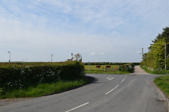
Heads Wood, located in Cumberland, is a picturesque forest that covers a vast area of land. With its lush greenery and diverse range of flora and fauna, it is a popular destination for nature enthusiasts and hikers alike.
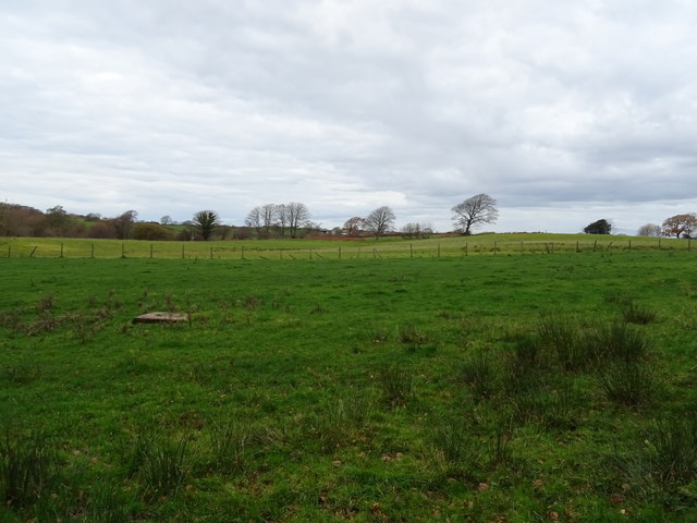
The wood is characterized by its dense canopy of tall trees, including oak, beech, and pine, which provide shade and shelter for the various wildlife that call the forest home. The forest floor is covered in a thick layer of moss, adding to the serene and enchanting atmosphere of the woodland.
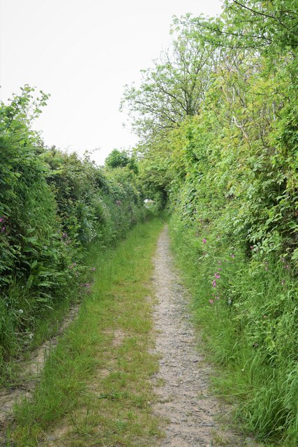
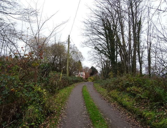
As visitors explore the wood, they will come across a network of well-maintained trails and pathways, allowing for easy navigation and enjoyable walks. These paths lead to hidden gems within the forest, such as a tranquil pond and a babbling brook, providing a peaceful setting for relaxation and reflection.
Heads Wood is also known for its abundant wildlife. Birdwatchers will be delighted by the array of species that inhabit the forest, including woodpeckers, owls, and songbirds. Additionally, the wood is home to various mammals, such as deer, foxes, and rabbits, which can often be spotted during early morning or late evening walks.
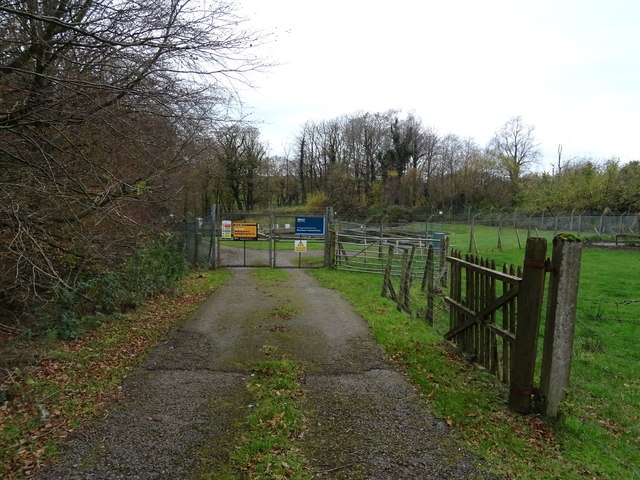
In addition to its natural beauty, Heads Wood offers a range of recreational activities. Picnic areas are scattered throughout the forest, providing a perfect spot for families and friends to gather and enjoy a meal amidst the tranquil surroundings. The wood also features designated camping areas for those wishing to spend a night under the stars.
Overall, Heads Wood is a stunning forest that offers a peaceful retreat from the hustle and bustle of daily life. Its natural beauty, diverse wildlife, and recreational opportunities make it a must-visit destination for nature lovers in Cumberland.
If you have any feedback on the listing, please let us know in the comments section below.
Heads Wood Images
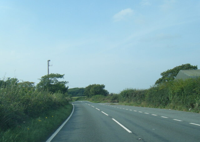
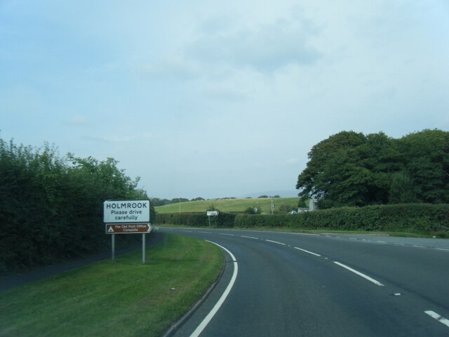
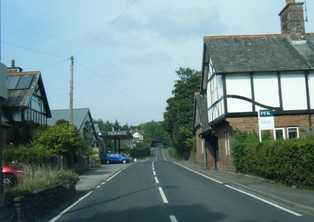
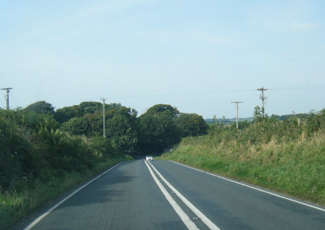
Images are sourced within 2km of 54.383921/-3.4170945 or Grid Reference SD0899. Thanks to Geograph Open Source API. All images are credited.


Heads Wood is located at Grid Ref: SD0899 (Lat: 54.383921, Lng: -3.4170945)
Administrative County: Cumbria
District: Copeland
Police Authority: Cumbria
What 3 Words
///rushed.treatment.finds. Near Seascale, Cumbria
Nearby Locations
Related Wikis

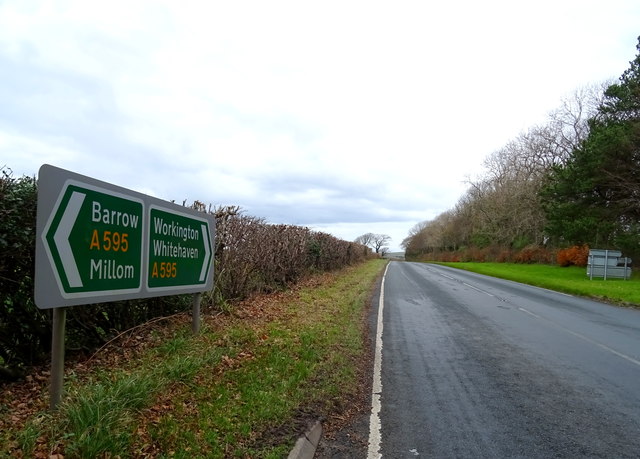
Holmrook
Holmrook is a linear village in the English county of Cumbria. It lies along the A595 road on the west banks of the River Irt. The B5344 road connects...

Irton Cross
Irton Cross is an Anglo-Saxon cross in the graveyard of St Paul's Church, in the parish of Irton with Santon, Cumbria, England. Dating from the early...

St Paul, Irton
St Paul, Irton is an active parish church in the civil parish of Irton with Santon, Cumbria, England. It is in the Calder Deanery of the Anglican diocese...
Drigg
Drigg is a village situated in the civil parish of Drigg and Carleton on the West Cumbria coast of the Irish Sea and on the boundary of the Lake District...
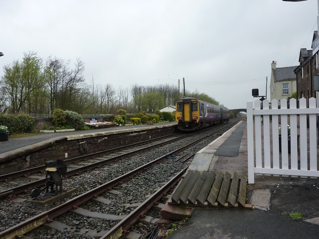
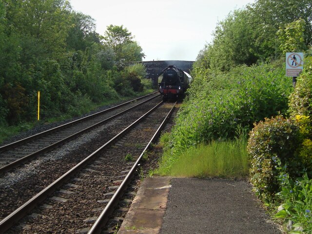
Drigg railway station
Drigg is a railway station on the Cumbrian Coast Line, which runs between Carlisle and Barrow-in-Furness. The station, situated 31 miles (50 km) north...

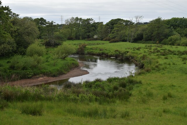
River Irt
The River Irt is a river in the county of Cumbria in northern England. It flows for 14 miles (22 km) from the south-western end of Wast Water, the deepest...

Muncaster Mill railway station
Muncaster Mill railway station is a railway station on the 15 in (381 mm) gauge Ravenglass & Eskdale Railway in Cumbria, England. The station is located...

Miteside Halt railway station
Miteside Halt railway station is a railway station on the 15" gauge Ravenglass & Eskdale Railway in Cumbria, England. It is located where public footpath...
Nearby Amenities
Located within 500m of 54.383921,-3.4170945Have you been to Heads Wood?
Leave your review of Heads Wood below (or comments, questions and feedback).