Claypits

Settlement in Suffolk West Suffolk

England

Claypits

Undley Road
Undley Road Credit: Hugh Venables

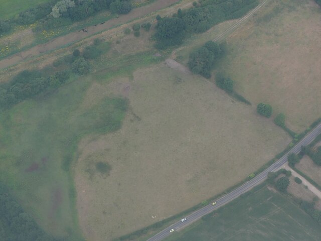
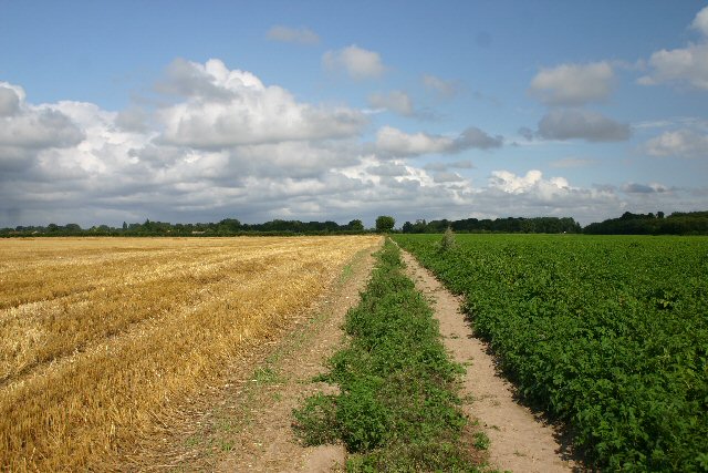
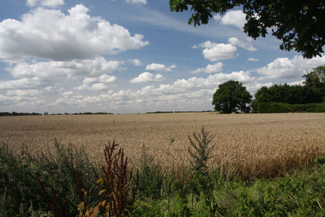
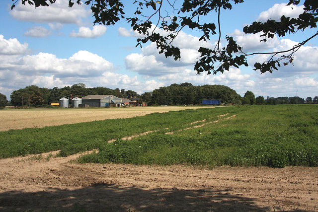
Claypits is a small village in the county of Suffolk, located in the eastern part of England. It is situated approximately 6 miles northeast of the town of Bury St Edmunds and 20 miles southeast of the city of Cambridge. The village is surrounded by picturesque countryside and is known for its rural charm.

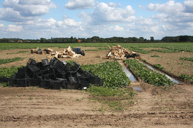
Claypits has a rich history, dating back to medieval times. The name of the village derives from the clay pits that were once present in the area, which were used for brickmaking and pottery production. Today, remnants of these pits can still be seen in the landscape.

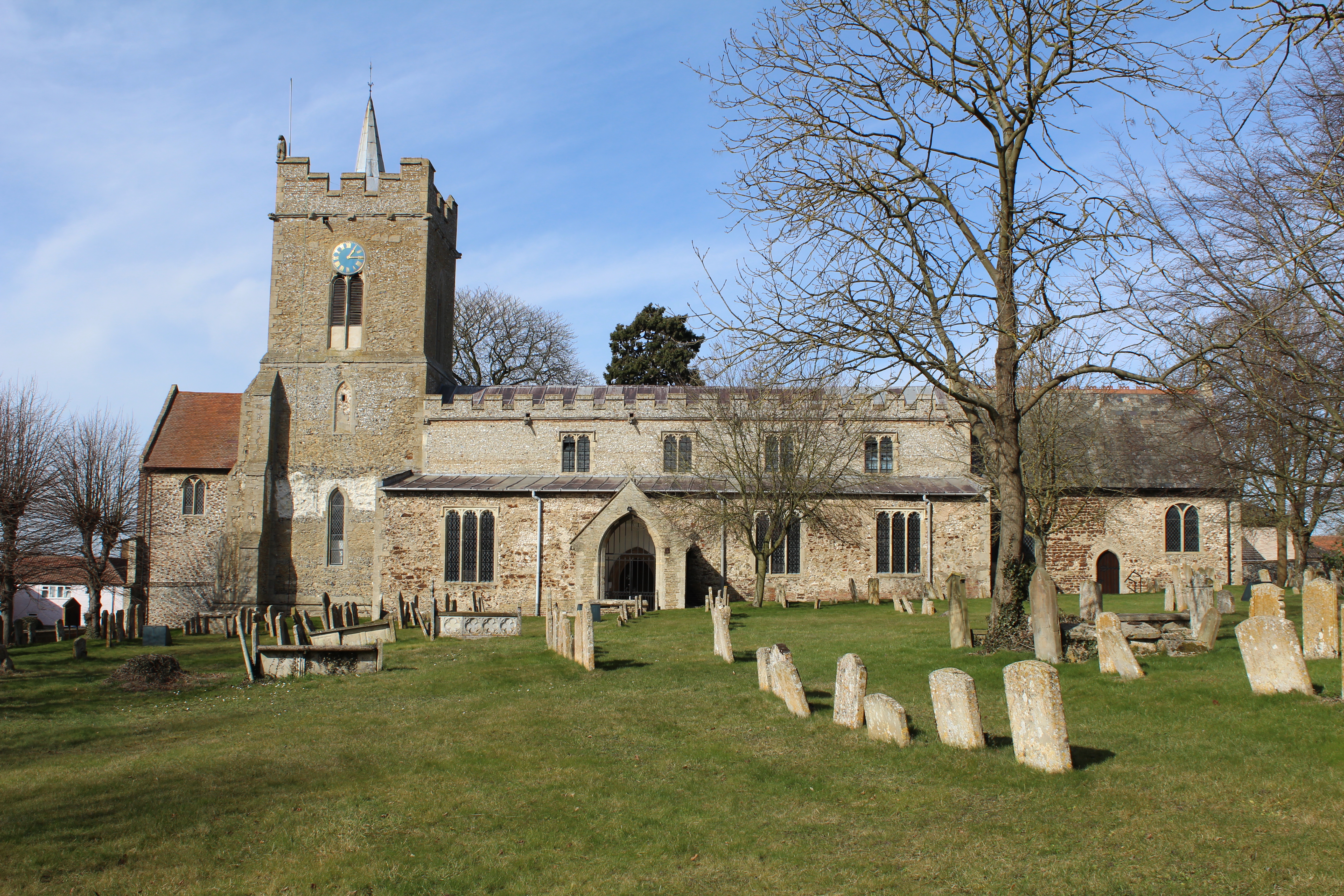
The village is home to a close-knit community, with a population of around 300 residents. It has a traditional English village atmosphere, with quaint cottages, a village green, and a parish church. The church, dedicated to St. Mary, is a notable architectural feature, with its beautiful stained glass windows and historic bell tower.

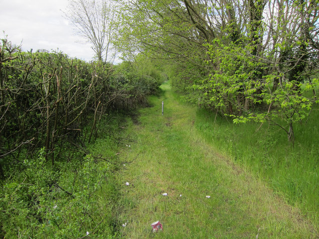
Despite its small size, Claypits offers a range of amenities for its residents. These include a village hall, a primary school, and a local pub. The surrounding countryside provides ample opportunities for outdoor activities, such as walking and cycling, and there are several public footpaths and nature reserves in the vicinity.

Overall, Claypits, Suffolk, is a charming village with a rich history and a strong sense of community. It offers a peaceful and idyllic setting for those seeking a rural lifestyle in the heart of the English countryside.

If you have any feedback on the listing, please let us know in the comments section below.
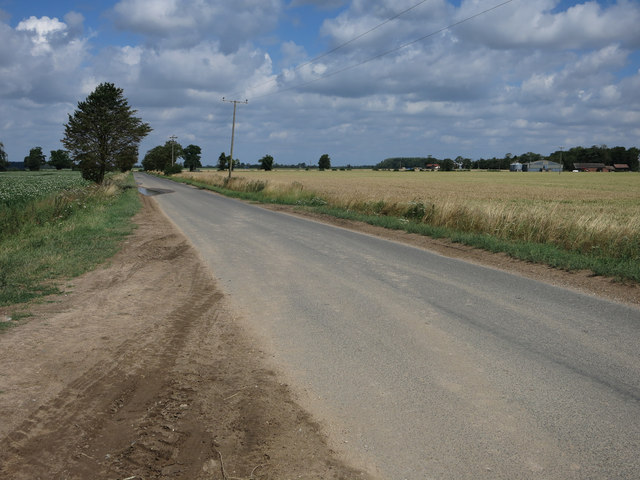
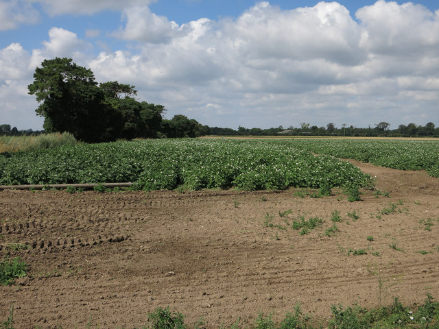
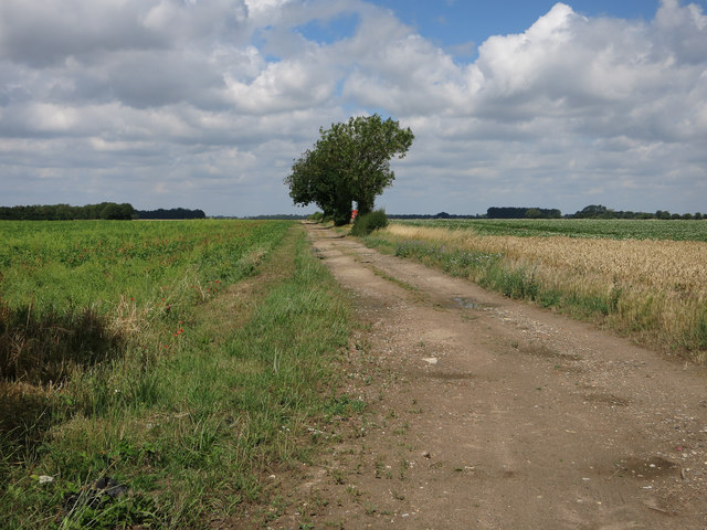
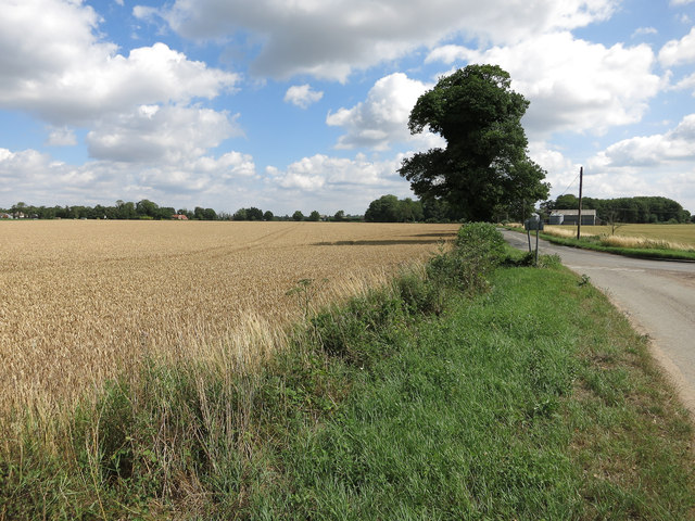
Claypits Images

Images are sourced within 2km of 52.400297/0.51206106 or Grid Reference TL7181. Thanks to Geograph Open Source API. All images are credited.

Undley Road
Undley Road
Potato crop by Undley Road
Track near Cupola Farm
Ripe wheat field
Ripe wheat field
Lakenheath High Street A busy village centre with lots of shops. Viewed at the junction with Wings Road.
Lakenheath High Street
A busy village centre with lots of shops. Viewed at the junction with Wings Road.
Fields south of Lakenheath: aerial 2022
Green and Gold This is Undley Common, a low-lying area in the far north of Suffolk.  The barley crop has been harvested; the potatoes await the tractor.
Green and Gold
This is Undley Common, a low-lying area in the far north of Suffolk. The barley crop has been harvested; the potatoes await the tractor.
Track to Chalk Farm, Undley A private track, leading north-westwards from a no-through road at Undley, near Lakenheath.
Track to Chalk Farm, Undley
A private track, leading north-westwards from a no-through road at Undley, near Lakenheath.
Wheat field near Undley Hall Viewed from the no-through road leading to Undley Hall, this field is waiting for a dry spell before being harvested.
Wheat field near Undley Hall
Viewed from the no-through road leading to Undley Hall, this field is waiting for a dry spell before being harvested.
Farmland at Undley Common Mixed farming alongside the minor road between Undley and Beck Row. The farm buildings are at Undley Lodge.
Farmland at Undley Common
Mixed farming alongside the minor road between Undley and Beck Row. The farm buildings are at Undley Lodge.
Packing boxes awaiting the labourers An unknown crop is being grown on this farmland at Undley Common, which requires hand-picking and packing. Evidence of recent rain shows in the tractor tracks across the field.
Packing boxes awaiting the labourers
An unknown crop is being grown on this farmland at Undley Common, which requires hand-picking and packing. Evidence of recent rain shows in the tractor tracks across the field.
Common Lane Bridleway to the Cut-off Channel.
Common Lane
Bridleway to the Cut-off Channel.
B1112 to Lakenheath Between Lakenheath Airfield and Lakenheath village.
B1112 to Lakenheath
Between Lakenheath Airfield and Lakenheath village.
Common Lane Bridleway to the Cut-off Channel, through some damp woodland.
Common Lane
Bridleway to the Cut-off Channel, through some damp woodland.
Footbridge over the Cut-off Channel
Footpath along Cut-off Channel The Cut-off channel is a drainage channel around the edge of the Fens.
Footpath along Cut-off Channel
The Cut-off channel is a drainage channel around the edge of the Fens.
Footpath along Cut-off Channel The Cut-off channel is a drainage channel around the edge of the Fens.
Footpath along Cut-off Channel
The Cut-off channel is a drainage channel around the edge of the Fens.
Cut-off Channel From the footbridge.
Cut-off Channel
From the footbridge.
Show me another place!

Claypits is located at Grid Ref: TL7181 (Lat: 52.400297, Lng: 0.51206106)

Administrative County: Suffolk

District: West Suffolk

Police Authority: Suffolk

What 3 Words

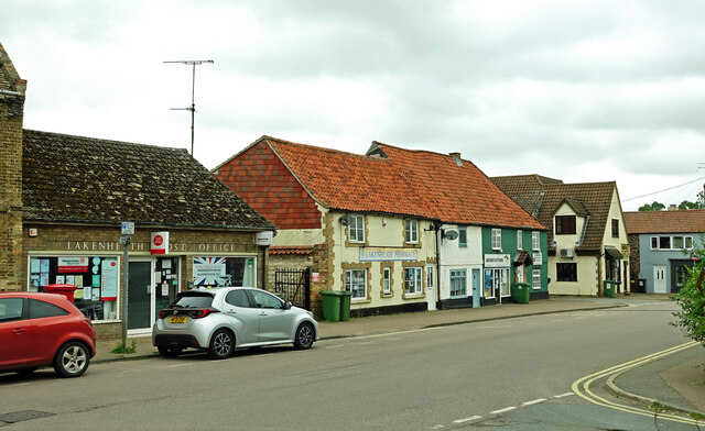
///tailwind.prance.warns. Near Lakenheath, Suffolk

Nearby Locations

Claypits

Related Wikis

Lackford Hundred

Lackford was a hundred of Suffolk, consisting of 83,712 acres (338.77 km2).The hundred fills the north western corner of Suffolk and is triangular in shape...

Lakenheath

Lakenheath is a village and civil parish in the West Suffolk district of Suffolk in eastern England. It has a population of 4,691 according to the 2011...

Lordswell Field

Lordswell Field or Lord's Well Field is a 3.2-hectare (7.9-acre) biological Site of Special Scientific Interest in Eriswell in Suffolk. It is a Nature...

Lakenheath Poor's Fen

Lakenheath Poor's Fen is a 5.2-hectare biological Site of Special Scientific Interest west of Lakenheath in Suffolk.This is mainly fen with diverse flora...

Have you been to Claypits?

Leave your review of Claypits below (or comments, questions and feedback).