Fishgarth Wood

Wood, Forest in Cumberland Copeland

England

Fishgarth Wood

A595 at Muncaster Mill
A595 at Muncaster Mill Credit: Colin Pyle

Fishgarth Wood is a picturesque woodland located in the county of Cumberland, England. Situated near the village of Hesket Newmarket, the wood covers an area of approximately 100 acres and is renowned for its natural beauty and diverse wildlife.

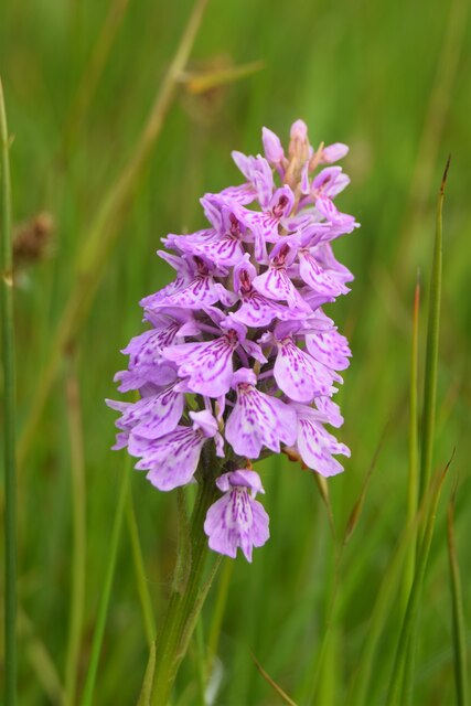
The wood is predominantly made up of native broadleaf trees, such as oak, beech, and ash, which provide a dense canopy and create a tranquil atmosphere. The forest floor is adorned with a rich carpet of wildflowers, including bluebells and wood anemones, adding to the enchanting ambiance of the woodland.

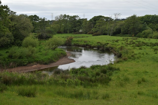
Fishgarth Wood is intersected by a small stream, which meanders its way through the trees, providing a habitat for a variety of aquatic species. The stream is also a popular spot for visitors to relax and enjoy the soothing sounds of running water.

As one explores the wood, they may encounter a diverse range of wildlife. The forest is home to numerous bird species, including woodpeckers, owls, and warblers, making it a haven for birdwatchers. Squirrels can be observed scurrying amidst the branches, while deer may occasionally be spotted grazing in the clearings.

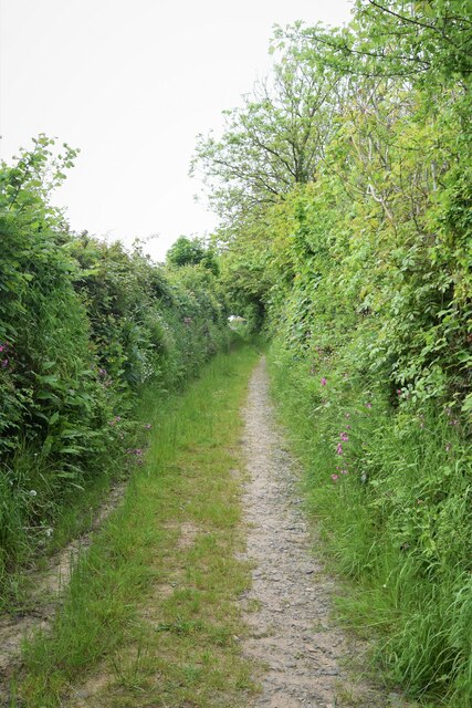
The wood offers several walking trails, allowing visitors to immerse themselves in the natural wonders of Cumberland. Whether it is a leisurely stroll or a more challenging hike, Fishgarth Wood provides an idyllic setting for outdoor enthusiasts to enjoy the beauty of nature.

In conclusion, Fishgarth Wood is a captivating woodland in Cumberland, boasting a diverse array of trees, a tranquil stream, and an abundance of wildlife. With its natural charm and serene atmosphere, it is a destination that appeals to nature lovers and adventure seekers alike.

If you have any feedback on the listing, please let us know in the comments section below.

Fishgarth Wood Images

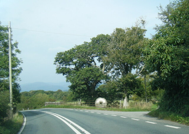
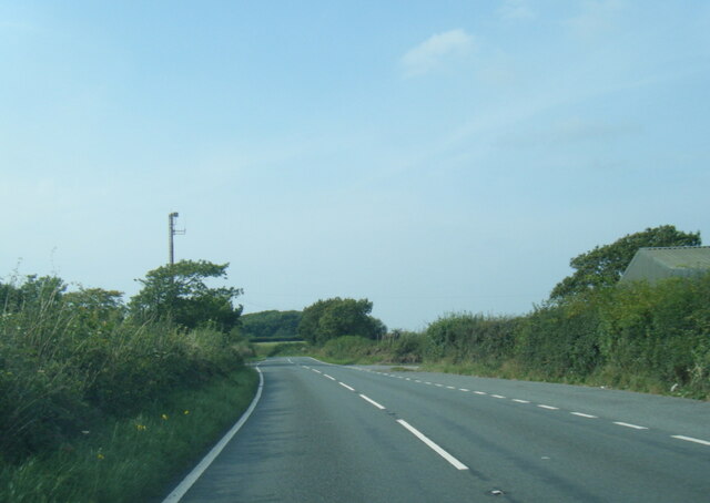
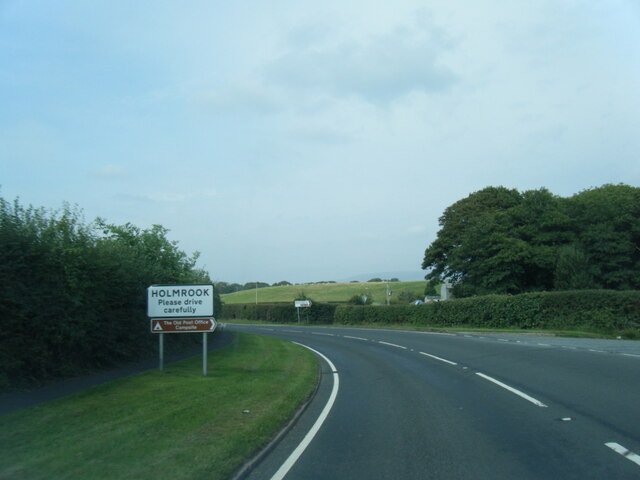
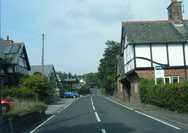
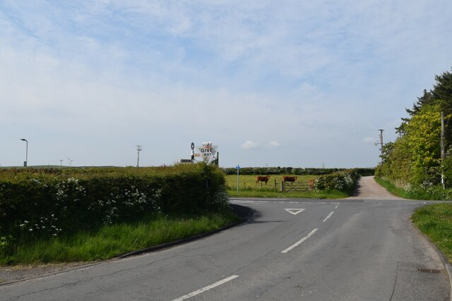
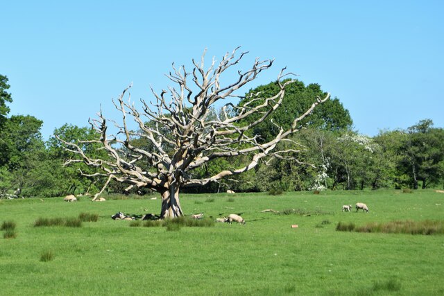
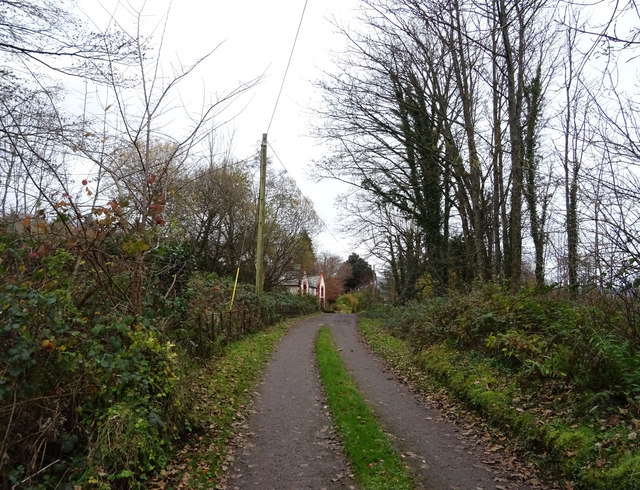
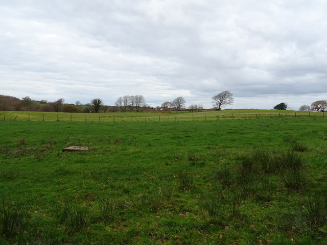
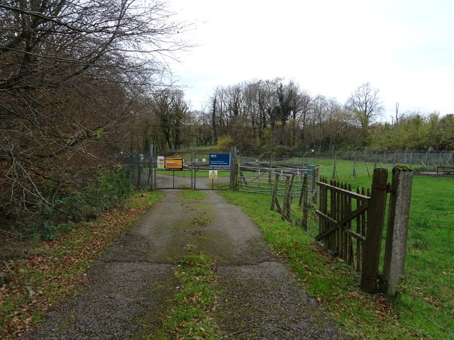
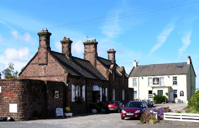
Images are sourced within 2km of 54.377658/-3.4184799 or Grid Reference SD0798. Thanks to Geograph Open Source API. All images are credited.

A595 at Muncaster Mill
A595 south of Longmire Wood
A595 at Holmrook village boundary
A595 in Holmrook village
No. 45231 "Sherwood Forester" at Drigg Station
Common Spotted Orchid, Dactylorhiza fuchsii Very large numbers of this orchid growing in the meadow near  the Packhorse Bridge
Common Spotted Orchid, Dactylorhiza fuchsii
Very large numbers of this orchid growing in the meadow near the Packhorse Bridge
Overlooking the River Irt
Bridleway toward St. Peter, Drigg
Junction of B5344 and Station Road
Dead tree from the train Sheep grazing  in a meadow between the River Mite and the track of the Ravenglass  and Eskdale railway
Dead tree from the train
Sheep grazing in a meadow between the River Mite and the track of the Ravenglass and Eskdale railway
Graveyard Of St Paul's Church The graveyard contains the historic Irton High Cross and a copy in the form of the Brocklebank Memorial
Graveyard Of St Paul's Church
The graveyard contains the historic Irton High Cross and a copy in the form of the Brocklebank Memorial
Minor road towards Santon
Irton Cross Situated in the graveyard of St Paul's Church, the Irton Cross is 10 feet tall and was erected in the early 9th Century. The cross has fine carvings and is one of the most important crosses in Cumbria.
Irton Cross
Situated in the graveyard of St Paul's Church, the Irton Cross is 10 feet tall and was erected in the early 9th Century. The cross has fine carvings and is one of the most important crosses in Cumbria.
Church of St Paul, Irton Built in 1857 with additions in 1866 and 1872, St Paul’s Church stands in an isolated position and is a good example of a small Victorian Church. It is a Grade II* Listed Building. <span class="nowrap"><a title="http://www.britishlistedbuildings.co.uk/101086671-church-of-st-paul-irton-with-santon#.WYzZbTGWw5s" rel="nofollow ugc noopener" href="http://www.britishlistedbuildings.co.uk/101086671-church-of-st-paul-irton-with-santon#.WYzZbTGWw5s">Link</a><img style="margin-left:2px;" alt="External link" title="External link - shift click to open in new window" src="https://s1.geograph.org.uk/img/external.png" width="10" height="10"/></span>
Church of St Paul, Irton
Built in 1857 with additions in 1866 and 1872, St Paul’s Church stands in an isolated position and is a good example of a small Victorian Church. It is a Grade II* Listed Building. LinkExternal link
Old Wayside Cross in St Pauls churchyard, Irton Irton Cross, in St Pauls churchyard, parish of Irton with Santon (Copeland District), South side of church.

Scheduled Monument.
List Entry Number: 1012642 <span class="nowrap"><a title="https://historicengland.org.uk/listing/the-list/list-entry/1012642" rel="nofollow ugc noopener" href="https://historicengland.org.uk/listing/the-list/list-entry/1012642">Link</a><img style="margin-left:2px;" alt="External link" title="External link - shift click to open in new window" src="https://s1.geograph.org.uk/img/external.png" width="10" height="10"/></span>

To be surveyed

Milestone Society National ID: CBCL_IRT
Old Wayside Cross in St Pauls churchyard, Irton
Irton Cross, in St Pauls churchyard, parish of Irton with Santon (Copeland District), South side of church. Scheduled Monument. List Entry Number: 1012642 LinkExternal link To be surveyed Milestone Society National ID: CBCL_IRT
Track (footpath) towards Holmrook Hall
Grazing near sewage works Off the A595.
Grazing near sewage works
Off the A595.
Sewage works off the A595 north of Holmrook
Show me another place!

Fishgarth Wood is located at Grid Ref: SD0798 (Lat: 54.377658, Lng: -3.4184799)

Administrative County: Cumbria

District: Copeland

Police Authority: Cumbria

What 3 Words

///seeing.sparrows.unsecured. Near Seascale, Cumbria

Nearby Locations

Fishgarth Wood

Related Wikis

Holmrook

Holmrook is a linear village in the English county of Cumbria. It lies along the A595 road on the west banks of the River Irt. The B5344 road connects...

River Irt

The River Irt is a river in the county of Cumbria in northern England. It flows for 14 miles (22 km) from the south-western end of Wast Water, the deepest...

Drigg

Drigg is a village situated in the civil parish of Drigg and Carleton on the West Cumbria coast of the Irish Sea and on the boundary of the Lake District...

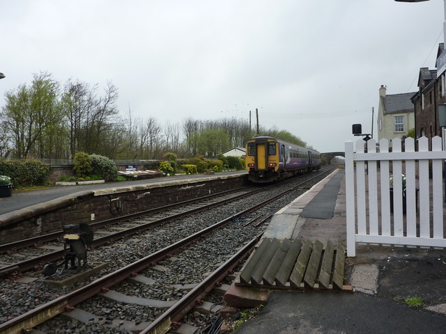
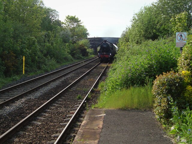
Drigg railway station

Drigg is a railway station on the Cumbrian Coast Line, which runs between Carlisle and Barrow-in-Furness. The station, situated 31 miles (50 km) north...

Nearby Amenities

Located within 500m of 54.377658,-3.4184799
Barrier: kissing_gate
Bicycle: yes
Foot: yes
Horse: yes
Lat/Long: 54.3756838/-3.4224828
Barrier: kissing_gate
Bicycle: yes
Foot: yes
Horse: yes
Lat/Long: 54.3755635/-3.4223322
Power: tower
Lat/Long: 54.3738742/-3.4204335
Power: tower
Lat/Long: 54.3760771/-3.4240491
Barrier: kissing_gate
Bicycle: yes
Foot: yes
Horse: yes
Lat/Long: 54.3758185/-3.4214075
Power: pole
Lat/Long: 54.3739616/-3.4225953
Power: pole
Lat/Long: 54.3748178/-3.4233785
Power: pole
Lat/Long: 54.3757005/-3.4241858
Power: pole
Lat/Long: 54.3805439/-3.423457
Power: pole
Lat/Long: 54.3796938/-3.4225767
Power: pole
Lat/Long: 54.3787959/-3.422026
Power: pole
Lat/Long: 54.3781178/-3.4216106
Power: pole
Lat/Long: 54.3774441/-3.4212028
Power: pole
Lat/Long: 54.3763453/-3.4205244
Power: pole
Lat/Long: 54.3756927/-3.42013
Power: pole
Lat/Long: 54.3750012/-3.4197222
Power: pole
Lat/Long: 54.3742343/-3.4192401
Power: pole
Lat/Long: 54.373626/-3.4188895
Power: pole
Lat/Long: 54.3734972/-3.417527
Power: pole
Lat/Long: 54.3733685/-3.4161512
The data included in this document is from www.openstreetmap.org. The data is made available under ODbL.

Have you been to Fishgarth Wood?

Leave your review of Fishgarth Wood below (or comments, questions and feedback).