Bitter Cliff Copse
Wood, Forest in Somerset Somerset West and Taunton
England
Bitter Cliff Copse
Bitter Cliff Copse is a picturesque woodland area located in Somerset, England. Situated on the edge of the Quantock Hills, this charming forest is a popular destination for nature lovers and outdoor enthusiasts.
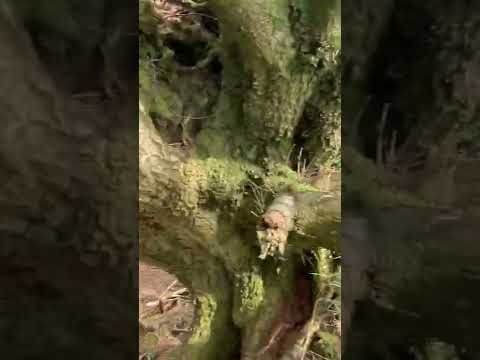
Spanning approximately 20 acres, Bitter Cliff Copse is characterized by its dense canopy of native trees, including oak, beech, and birch. The forest floor is covered in a lush carpet of ferns, bluebells, and wildflowers, creating a vibrant and enchanting atmosphere.
The copse is crisscrossed by a network of well-maintained trails, allowing visitors to explore its natural beauty at their own pace. These paths wind through towering trees, leading to secluded clearings and viewpoints that offer breathtaking vistas of the surrounding countryside.
The wildlife in Bitter Cliff Copse is diverse and abundant. The forest is home to numerous bird species, such as woodpeckers, owls, and thrushes, which can be heard and spotted throughout the year. Small mammals like foxes, badgers, and squirrels also find refuge in the copse, adding to the area's charm and biodiversity.
The tranquil ambiance of Bitter Cliff Copse makes it an ideal spot for relaxation and reflection. Picnic areas and benches are scattered throughout the woodland, providing visitors with opportunities to unwind and enjoy a peaceful moment in nature.
Managed by the local authorities, Bitter Cliff Copse is well-preserved and protected, ensuring that its ecosystems and natural beauty are conserved for future generations to appreciate. Whether it's a leisurely stroll, birdwatching, or simply immersing oneself in the serenity of the forest, Bitter Cliff Copse offers a memorable experience for all who visit.
If you have any feedback on the listing, please let us know in the comments section below.
Bitter Cliff Copse Images
Images are sourced within 2km of 51.063853/-3.3192119 or Grid Reference ST0730. Thanks to Geograph Open Source API. All images are credited.


Bitter Cliff Copse is located at Grid Ref: ST0730 (Lat: 51.063853, Lng: -3.3192119)
Administrative County: Somerset
District: Somerset West and Taunton
Police Authority: Avon and Somerset
What 3 Words
///swims.terribly.oblige. Near Wiveliscombe, Somerset
Nearby Locations
Related Wikis

Church of St Mary, Brompton Ralph
The Anglican Church of St Mary in Brompton Ralph, Somerset, England was built in the 15th century. It is a Grade II* listed building. == History == Parts...
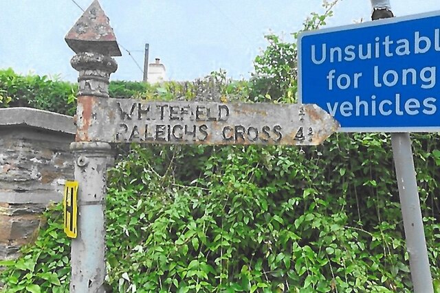
Wiveliscombe
Wiveliscombe (, locally ) is a town and civil parish in Somerset, England, situated 9 miles (14 km) west of Taunton. The town has a population of 2,893...
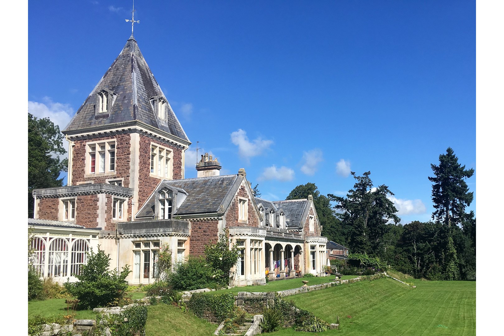
Abbotsfield, Wiveliscombe
Abbotsfield is a country house and farm, to the west of the town of Wiveliscombe, Somerset, England. Built in 1872, it became a Grade II listed building...

Brompton Ralph
Brompton Ralph is a village and civil parish in the Somerset West and Taunton district of Somerset, England, about 11 miles (18 km) west of Taunton, and...

Clatworthy
Clatworthy is a village and civil parish in the Somerset West and Taunton district of Somerset, England. It is situated 10 miles (16 km) from Wellington...
Church of St Mary Magdalene, Clatworthy
The Anglican Church of Mary Magdalene in Clatworthy, Somerset, England was built in the 12th century. It is a Grade II* listed building. == History... ==

Church of St Andrew, Wiveliscombe
The Church Of St Andrew in Wiveliscombe, Somerset, England was built in 1829. It is a Grade II* listed building. == History == The church was built by...

Ruby Country
Ruby Country is the name given to the rural inland hinterland of north-west Devon, UK. It covers 45 parishes around the market towns of Holsworthy and...
Related Videos
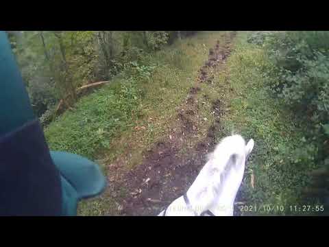
Walking along Jew’s Lane to Wiveliscombe
In portrait? Really? Yes. When walking it actually makes more sense to me now - my eyes look mainly ahead and down, I'm ...

Holiday
M.
27 November 2021
Dulverton Farmers Fun Ride.
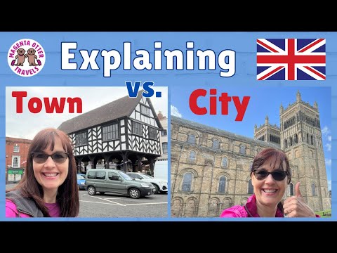
English City vs Town vs Village Definitions #england #britain #britishculture
I have discovered that British people are very particular about the designation of the place they live, be it village or town or city.
Nearby Amenities
Located within 500m of 51.063853,-3.3192119Have you been to Bitter Cliff Copse?
Leave your review of Bitter Cliff Copse below (or comments, questions and feedback).