High Moss Plantation
Wood, Forest in Cumberland Copeland
England
High Moss Plantation
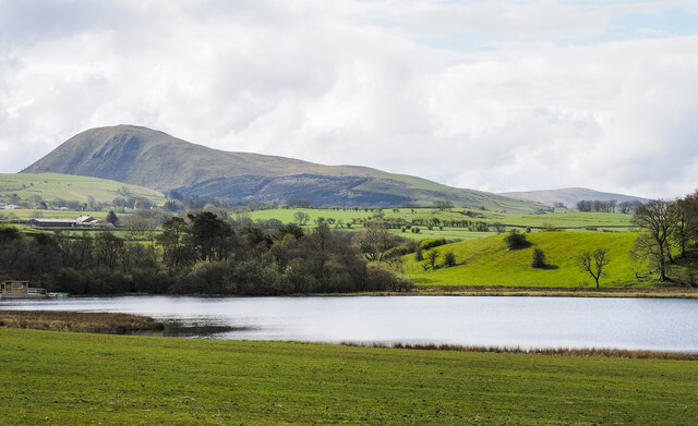
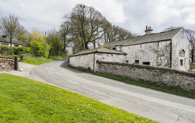
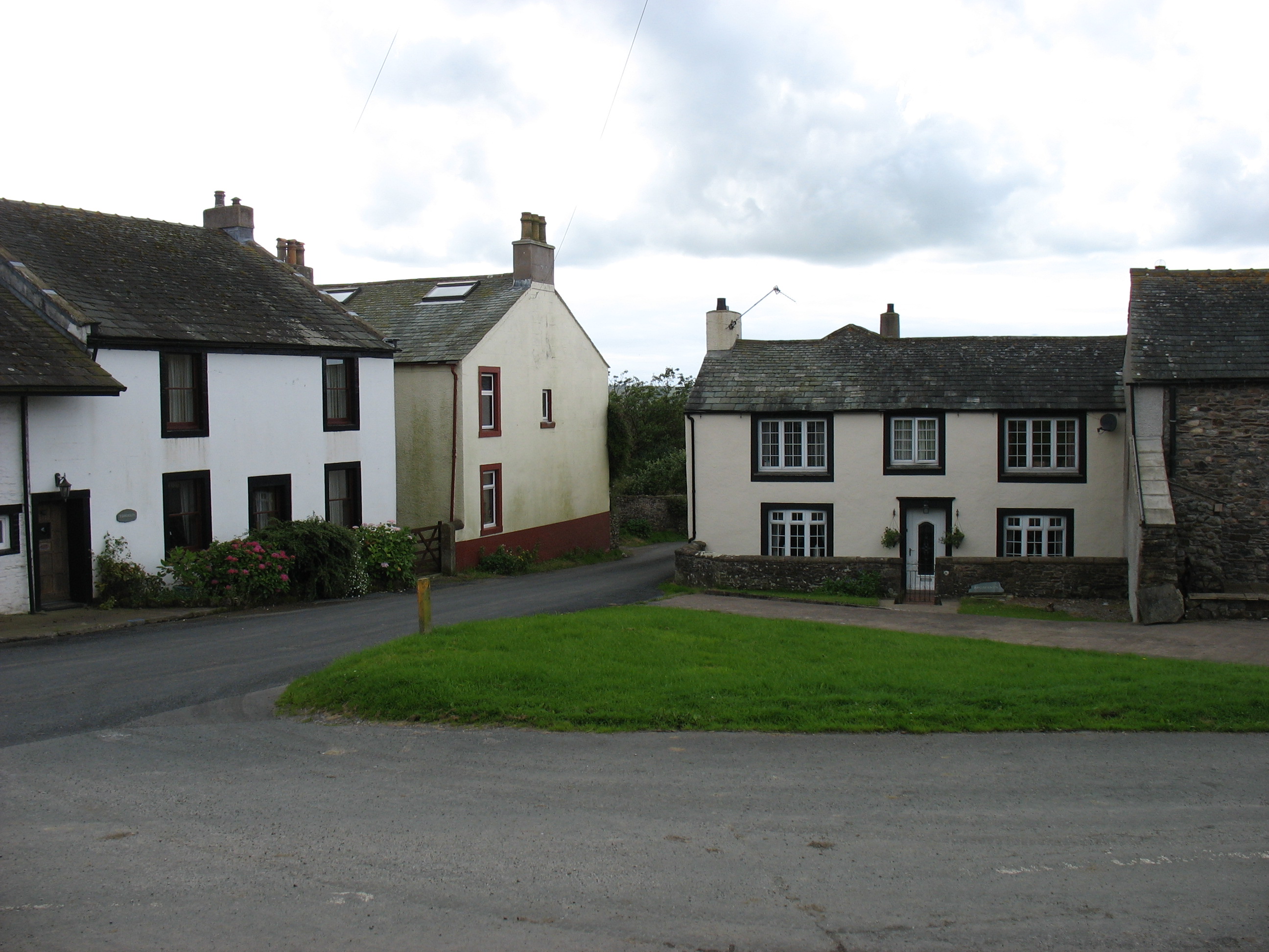
High Moss Plantation is a picturesque woodland located in the heart of Cumberland County, renowned for its natural beauty and serene atmosphere. Situated in the larger Cumberland forest, this plantation spans over a vast area, covering approximately 500 acres of lush greenery. It is characterized by its dense woodland, predominantly consisting of towering oak, beech, and pine trees.
The plantation is home to a diverse range of flora and fauna, attracting nature enthusiasts and wildlife lovers alike. Among the native species found here are deer, foxes, rabbits, and a plethora of bird species, making it a haven for birdwatchers. The plantation's pristine environment offers a tranquil escape from the hustle and bustle of city life, making it a popular destination for hiking, picnicking, and simply unwinding amidst nature.
High Moss Plantation has a rich history, dating back to the 18th century when it was first established as a timber plantation. The woodland has since been managed sustainably, with periodic tree thinning and replanting to maintain the health of the forest ecosystem. The plantation also serves as an important site for scientific research and conservation efforts, with ongoing studies on woodland ecology and biodiversity.
Visitors to High Moss Plantation can enjoy a network of well-maintained trails that wind their way through the woodland, offering breathtaking views of the surrounding landscape. Interpretive signs along the trails provide information about the plantation's history, flora, and fauna, enhancing the educational experience. Overall, High Moss Plantation is a true natural gem in Cumberland County, offering a peaceful retreat for all who venture into its enchanting woodlands.
If you have any feedback on the listing, please let us know in the comments section below.
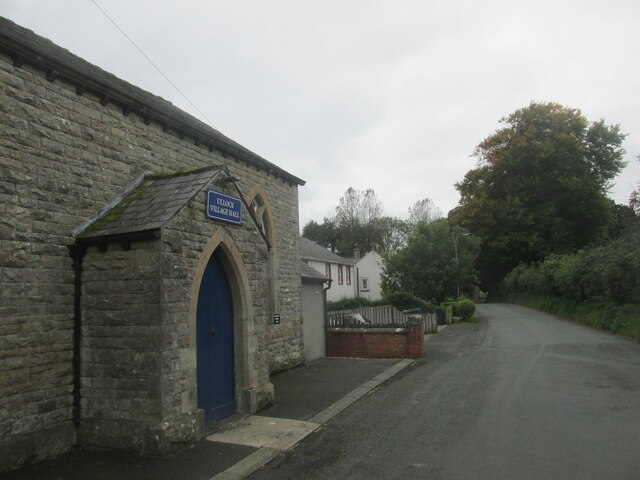
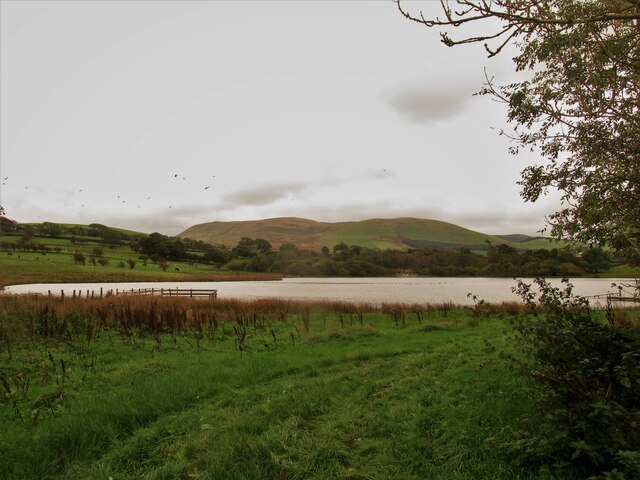
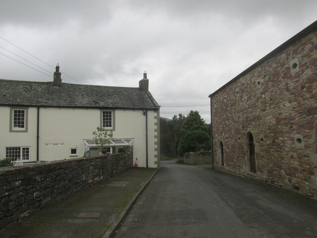
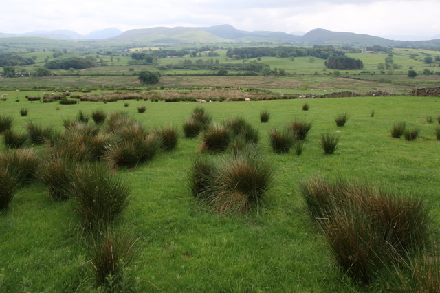
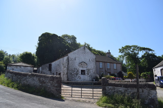
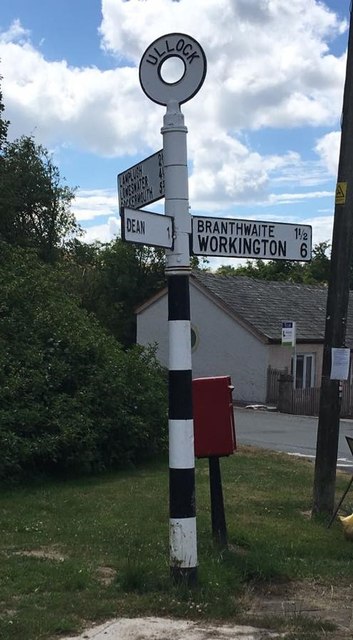
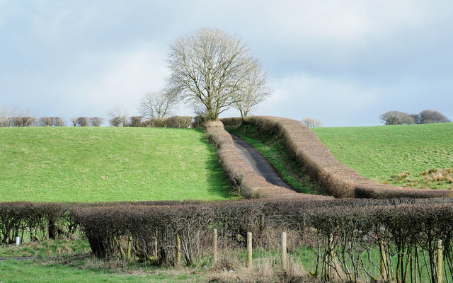
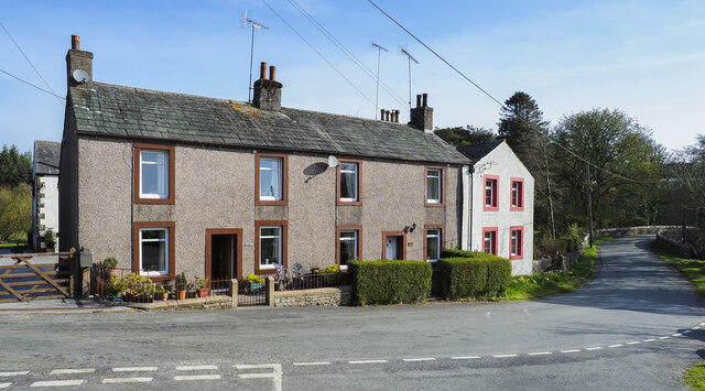
High Moss Plantation Images
Images are sourced within 2km of 54.591264/-3.4343144 or Grid Reference NY0722. Thanks to Geograph Open Source API. All images are credited.


High Moss Plantation is located at Grid Ref: NY0722 (Lat: 54.591264, Lng: -3.4343144)
Administrative County: Cumbria
District: Copeland
Police Authority: Cumbria
What 3 Words
///recorders.suppose.beauty. Near Frizington, Cumbria
Nearby Locations
Related Wikis

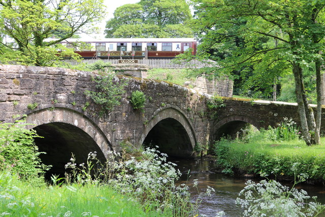
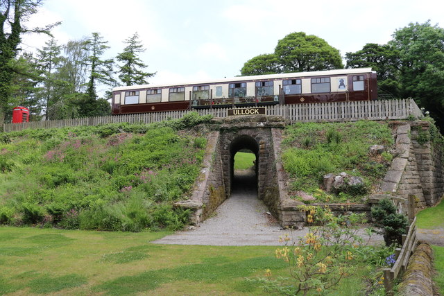
Ullock railway station
Ullock railway station was built by the Whitehaven, Cleator and Egremont Railway. It served the village of Ullock, Cumbria, England. == History == The...

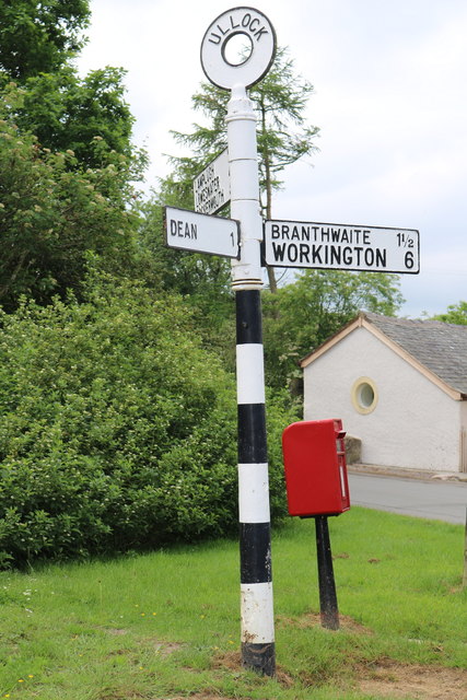
Ullock
Ullock is a village in Cumbria, England, located at National Grid reference NY076239, approximately 5 miles (8.0 km) south west of Cockermouth and 5.4...
Lamplugh railway station
Lamplugh railway station was built by the Whitehaven, Cleator and Egremont Railway. It served the scattered community of Lamplugh, Cumbria, England....
Browtop
Browtop is a village in Cumbria, England. It is also an area of Keswick where Francis Galton stayed (In Galton's biography, Karl Pearson states that "Browtop...
Mockerkin
Mockerkin is a settlement in the English county of Cumbria. Historically part of Cumberland, it is situated just outside the Lake District National Park...

Crossgates, Cumbria
Crossgates is a hamlet in Cumbria, England. It is located just to the northeast of Asby. == References ==

Lamplugh
Lamplugh () is a scattered community and civil parish located in West Cumbria on the edge of the English Lake District and historically part of Cumberland...
St Michael, Lamplugh
St Michael is in Lamplugh, Cumbria, England. It is an active Anglican parish church in the deanery of Calder, and the diocese of Carlisle. Its benefice...
Nearby Amenities
Located within 500m of 54.591264,-3.4343144Have you been to High Moss Plantation?
Leave your review of High Moss Plantation below (or comments, questions and feedback).