Black Down Wood
Wood, Forest in Somerset Somerset West and Taunton
England
Black Down Wood

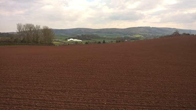
Black Down Wood is a picturesque woodland located in the county of Somerset, England. It covers an area of approximately 600 acres and is situated on the southern slopes of the Quantock Hills, a designated Area of Outstanding Natural Beauty. The woodland is managed by the Forestry Commission and offers a diverse range of habitats and wildlife.
The forest consists mainly of deciduous trees, including oak, beech, and ash, which create a dense canopy overhead. This provides a suitable habitat for a variety of bird species, such as woodpeckers, thrushes, and owls. The woodland floor is covered in a rich carpet of wildflowers, including bluebells, primroses, and wood anemones, which bloom in abundance during the spring months.
Black Down Wood is crisscrossed by a network of well-maintained footpaths, making it a popular destination for walkers, hikers, and nature enthusiasts. These paths offer stunning views of the surrounding countryside and provide access to other areas of the Quantock Hills.
The woodland is also home to a number of historical features, including ancient earthworks and remnants of old charcoal pits, which provide a glimpse into the area's past. Visitors can learn about the history and ecology of the forest through informative signage and interpretation boards.
With its tranquil atmosphere, diverse flora and fauna, and scenic beauty, Black Down Wood is a haven for nature lovers seeking a peaceful escape in the heart of Somerset's countryside.
If you have any feedback on the listing, please let us know in the comments section below.
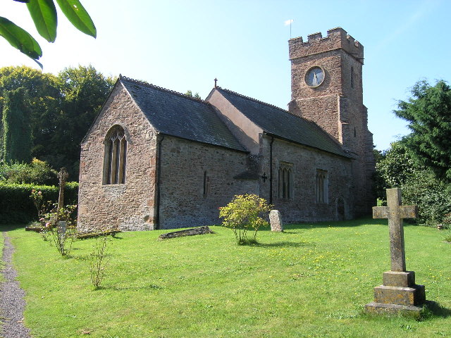
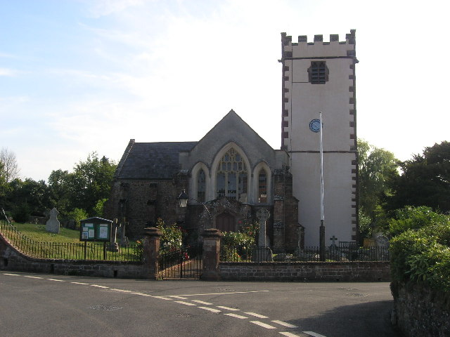
Black Down Wood Images
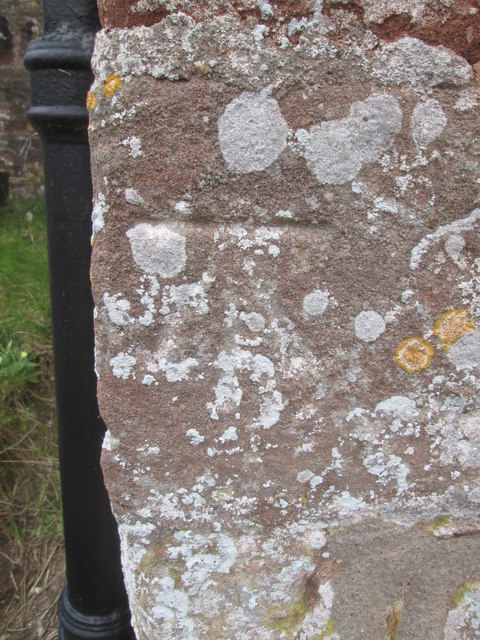
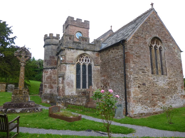
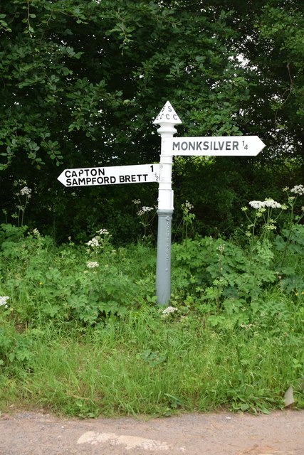
Images are sourced within 2km of 51.145357/-3.3323284 or Grid Reference ST0639. Thanks to Geograph Open Source API. All images are credited.


Black Down Wood is located at Grid Ref: ST0639 (Lat: 51.145357, Lng: -3.3323284)
Administrative County: Somerset
District: Somerset West and Taunton
Police Authority: Avon and Somerset
What 3 Words
///havens.plotter.hulk. Near Williton, Somerset
Nearby Locations
Related Wikis
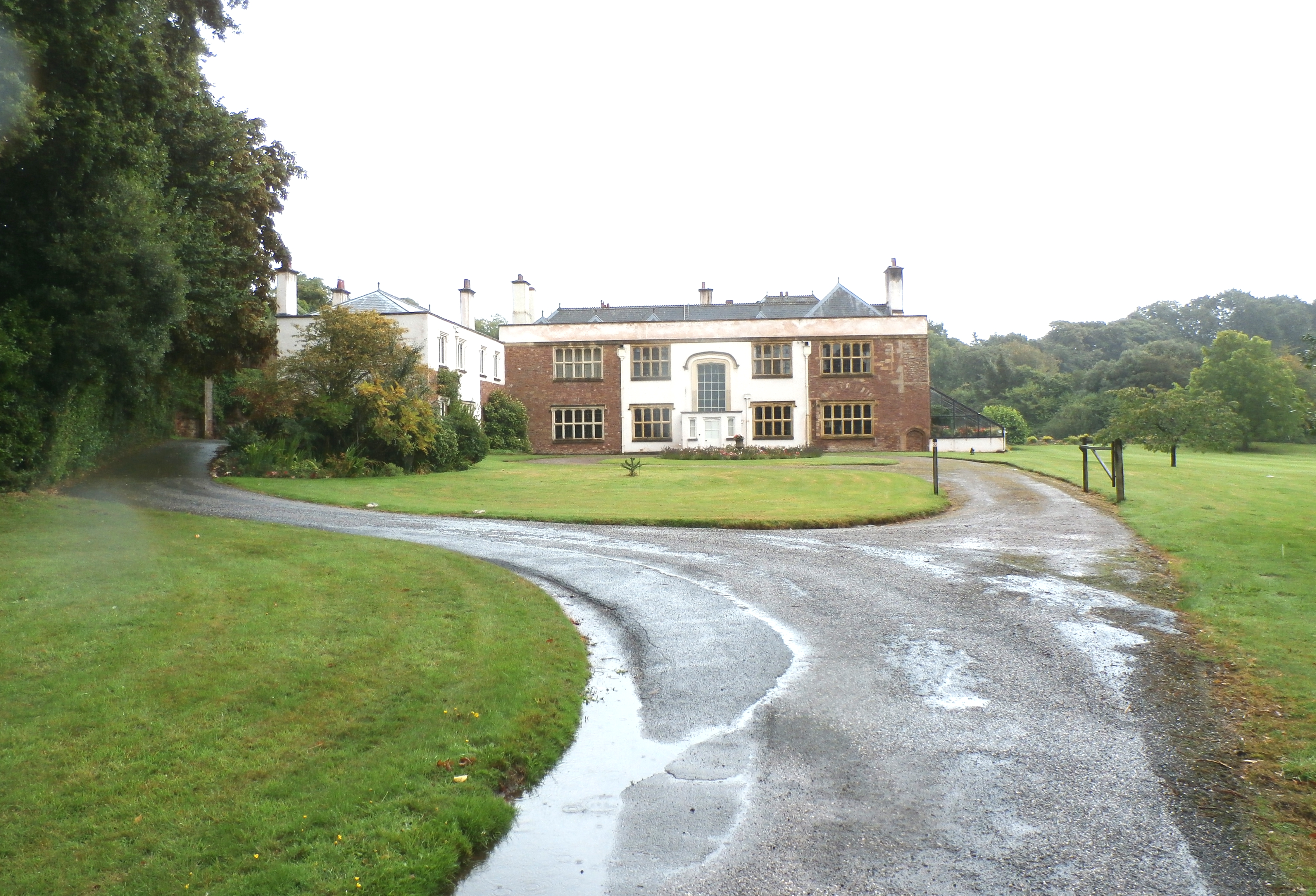
Orchard Wyndham
Orchard Wyndham is a historic manor near Williton in Somerset, centred on the synonymous grade I listed manor house of Orchard Wyndham that was situated...
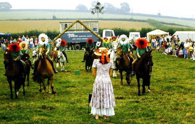
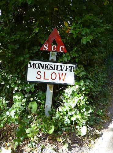
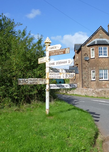
Monksilver
Monksilver is a village 3 miles (5 km) west of the town of Williton in Somerset, England, on the eastern flank of the Brendon Hills and the border of the...

Nettlecombe, Somerset
Nettlecombe is a civil parish in the English county of Somerset. The parish covers a rural area below the Brendon Hills, comprising the small hamlets of...
Sampford Brett
Sampford Brett is a village and civil parish situated at the south-western edge of the Quantock Hills, Somerset, England, less than 1 mile (1.6 km) south...
Nettlecombe Court
Nettlecombe Court and park is an old estate on the northern fringes of the Brendon Hills, within the Exmoor National Park. They are within the civil parish...

Washford transmitting station
Washford transmitting station is a medium wave broadcasting station and low-power digital terrestrial television relay near Washford, Somerset. It was...

Washford Radio Museum
Washford Radio Museum has been re-located to 'The Radio Museum' at the former Anchor Inn, 5, Anchor Street, Watchet, Somerset, TA23 0AZ. == References... ==

Tropiquaria
Tropiquaria Zoo is a small tropical house and zoo in West Somerset, England. It is located 16 miles (26 km) from Taunton and 9 miles (14 km) from Minehead...
Nearby Amenities
Located within 500m of 51.145357,-3.3323284Have you been to Black Down Wood?
Leave your review of Black Down Wood below (or comments, questions and feedback).