Battin's Copse
Wood, Forest in Somerset Somerset West and Taunton
England
Battin's Copse
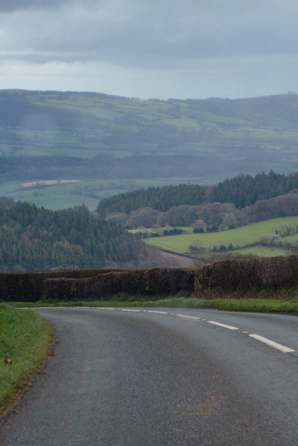
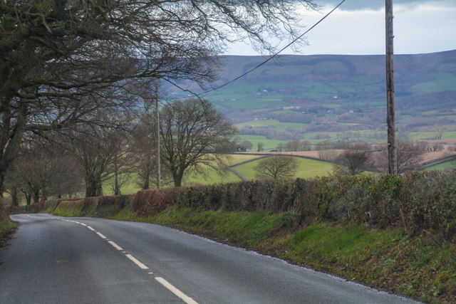
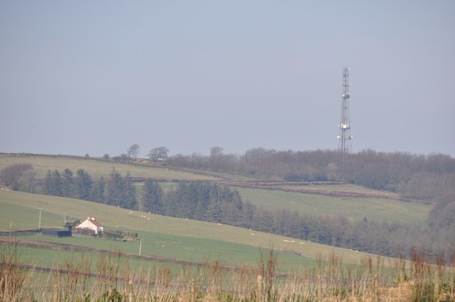
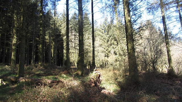
Battin's Copse is a picturesque wood located in Somerset, England. Covering an area of approximately 50 acres, it is known for its dense and diverse forest, making it a popular destination for nature enthusiasts and hikers alike.
The copse is characterized by its ancient woodland, consisting mainly of broadleaf trees such as oak, ash, and beech. These towering trees provide a rich habitat for a variety of wildlife, including deer, foxes, and numerous species of birds. The forest floor is carpeted with a lush undergrowth of ferns, bluebells, and wildflowers, adding to the copse's natural beauty.
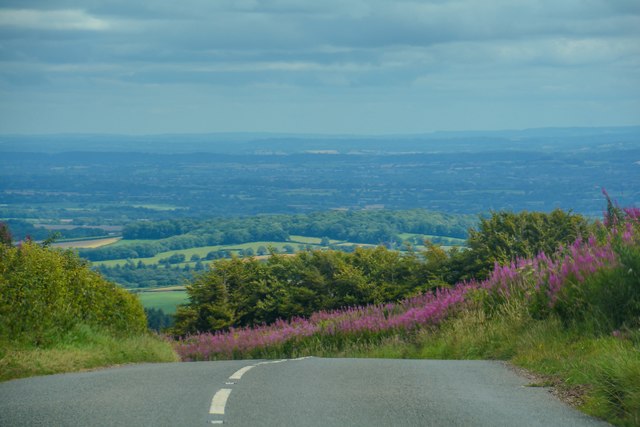
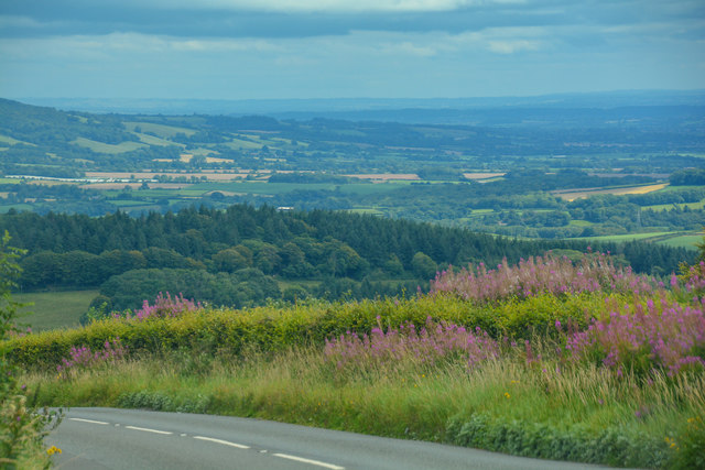
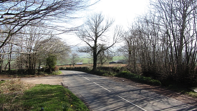
Visitors to Battin's Copse can enjoy a network of well-maintained walking trails that wind through the woods, offering stunning views and opportunities for peaceful solitude. The trails are suitable for all levels of fitness, with options for shorter, leisurely strolls or longer, more challenging hikes.
The copse is also home to a small pond, nestled within a clearing, which attracts a range of aquatic wildlife, including frogs, newts, and dragonflies. It provides a tranquil spot for visitors to sit and enjoy the peaceful surroundings.
Battin's Copse is open to the public year-round, with no entrance fee. The copse is managed by local conservation organizations, ensuring the preservation of its natural beauty and wildlife. It serves as an important ecological site, contributing to the region's biodiversity and providing a valuable habitat for many species.
Overall, Battin's Copse offers a serene and enchanting experience for nature lovers, providing a haven of tranquility amidst the bustling Somerset countryside.
If you have any feedback on the listing, please let us know in the comments section below.
Battin's Copse Images
Images are sourced within 2km of 51.085601/-3.3315813 or Grid Reference ST0632. Thanks to Geograph Open Source API. All images are credited.


Battin's Copse is located at Grid Ref: ST0632 (Lat: 51.085601, Lng: -3.3315813)
Administrative County: Somerset
District: Somerset West and Taunton
Police Authority: Avon and Somerset
What 3 Words
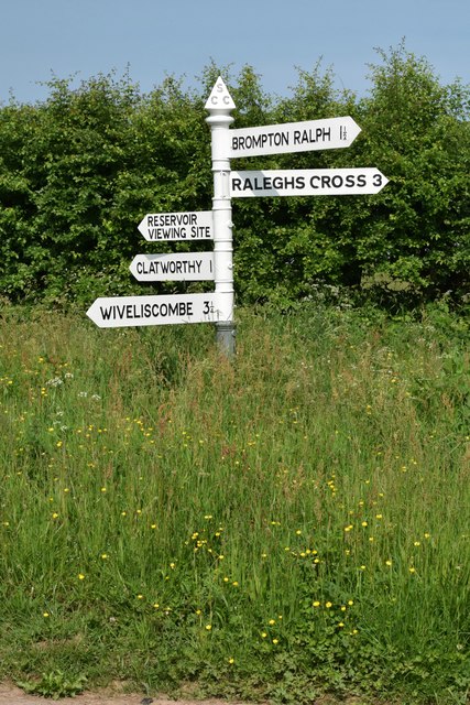
///myths.lamps.roadways. Near Wiveliscombe, Somerset
Nearby Locations
Related Wikis
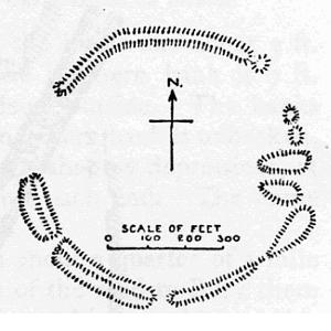
Elworthy Barrows
Elworthy Barrows is an unfinished Iron Age hill fort, rather than Bronze Age barrows, which is designated a scheduled ancient monument (No:188401). It...

Brompton Ralph
Brompton Ralph is a village and civil parish in the Somerset West and Taunton district of Somerset, England, about 11 miles (18 km) west of Taunton, and...

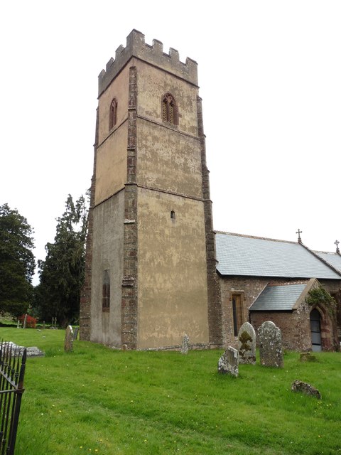
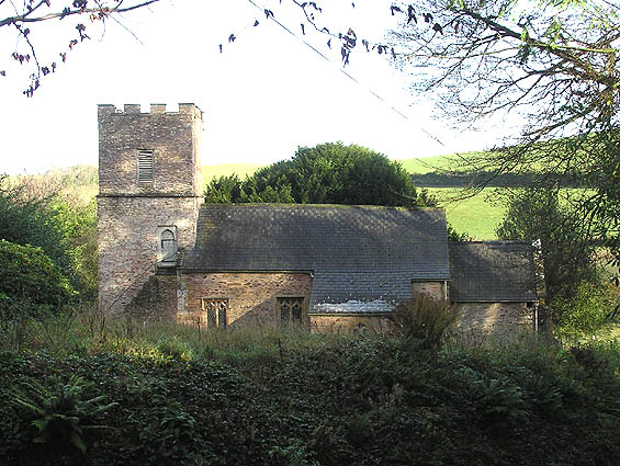
Church of St Mary, Brompton Ralph
The Anglican Church of St Mary in Brompton Ralph, Somerset, England was built in the 15th century. It is a Grade II* listed building. == History == Parts...

Church of St Mary Magdalene, Clatworthy
The Anglican Church of Mary Magdalene in Clatworthy, Somerset, England was built in the 12th century. It is a Grade II* listed building. == History... ==
Clatworthy
Clatworthy is a village and civil parish in the Somerset West and Taunton district of Somerset, England. It is situated 10 miles (16 km) from Wellington...
Church of St Martin, Elworthy
The Church of St Martin in Elworthy, Somerset, England, is dedicated to St Martin of Tours. It dates from the 13th century and is recorded in the National...
Elworthy
Elworthy is a small village and civil parish in the Brendon Hills 5 miles (8 km) south-east of Watchet, and 12 miles (19 km) west of Taunton, in the Somerset...

Clatworthy Camp
Clatworthy Camp is an Iron Age hill fort 3 miles (4.8 km) North West of Wiveliscombe, Somerset, England. It has been scheduled as an Ancient Monument....
Nearby Amenities
Located within 500m of 51.085601,-3.3315813Have you been to Battin's Copse?
Leave your review of Battin's Copse below (or comments, questions and feedback).