Burrow Copse
Wood, Forest in Somerset Somerset West and Taunton
England
Burrow Copse

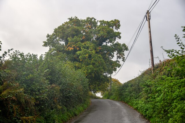
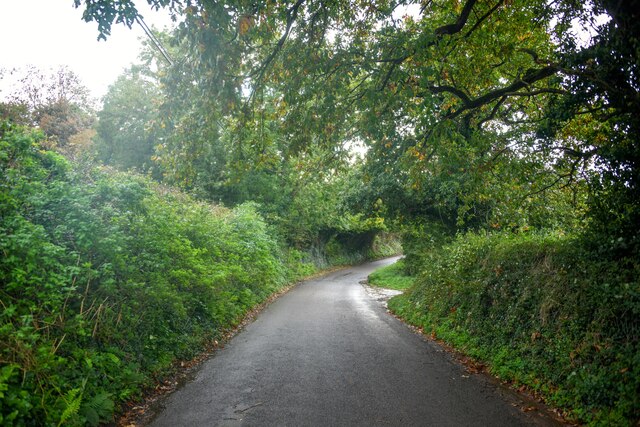
Burrow Copse is a picturesque woodland located in Somerset, England. Covering an area of approximately 50 acres, it is a popular destination for nature enthusiasts and hikers alike. The copse is situated near the village of Burrowbridge, nestled between the River Parrett and the Somerset Levels, providing visitors with stunning views of the surrounding countryside.
The woodland is predominantly composed of oak and ash trees, which create a dense canopy that allows only dappled sunlight to filter through. This creates a tranquil and serene atmosphere, perfect for those seeking solace in nature. The forest floor is covered in a rich carpet of bluebells and wild garlic during the springtime, adding to the copse's natural beauty.
Burrow Copse is home to a diverse range of wildlife, including various bird species, such as woodpeckers and owls, as well as small mammals like badgers and foxes. Nature enthusiasts can explore the copse's network of walking trails, which wind through the ancient trees, providing glimpses of the local fauna and flora.
The copse is also of historical importance, as it is believed to have been used as a hiding place for local rebels during the Monmouth Rebellion in the late 17th century. This adds an element of intrigue and historical significance to the woodland, attracting history enthusiasts and researchers.
Overall, Burrow Copse in Somerset offers visitors a chance to immerse themselves in the beauty of nature, discover its rich biodiversity, and appreciate its historical significance. It is a place where one can escape the hustle and bustle of everyday life and find solace in the tranquility of the woodland.
If you have any feedback on the listing, please let us know in the comments section below.
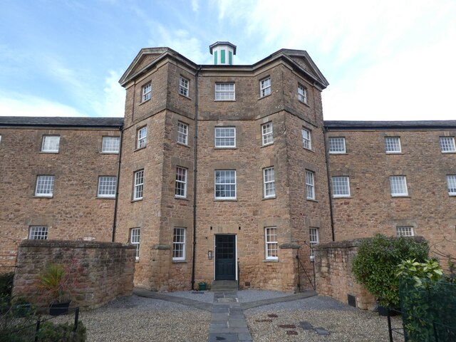
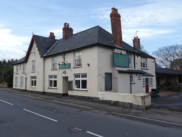
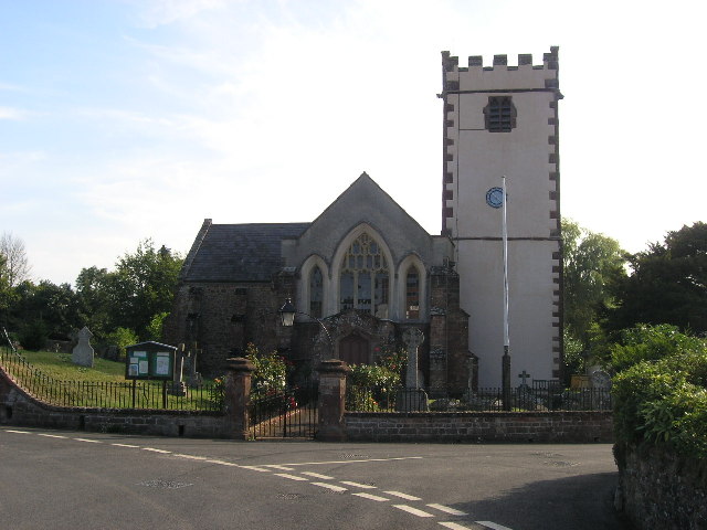
Burrow Copse Images
Images are sourced within 2km of 51.154822/-3.3350177 or Grid Reference ST0640. Thanks to Geograph Open Source API. All images are credited.


Burrow Copse is located at Grid Ref: ST0640 (Lat: 51.154822, Lng: -3.3350177)
Administrative County: Somerset
District: Somerset West and Taunton
Police Authority: Avon and Somerset
What 3 Words
///slab.testy.afford. Near Williton, Somerset
Nearby Locations
Related Wikis
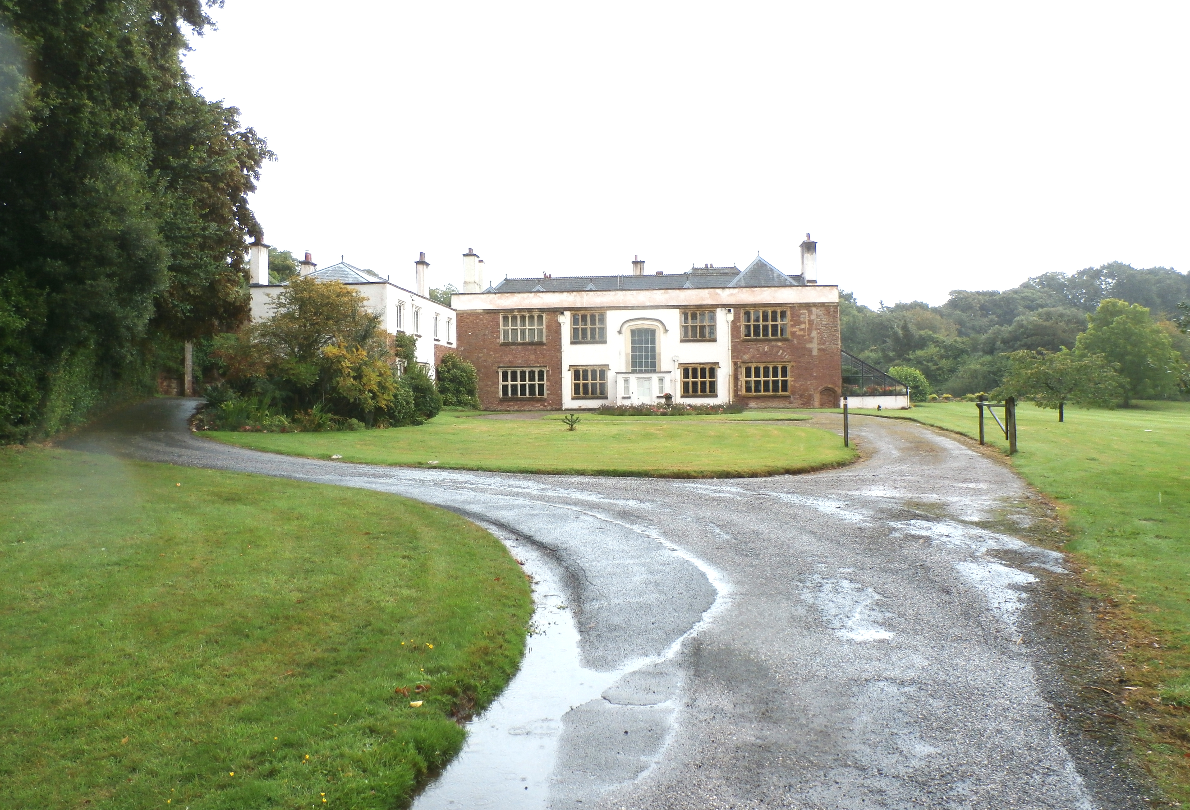
Orchard Wyndham
Orchard Wyndham is a historic manor near Williton in Somerset, centred on the synonymous grade I listed manor house of Orchard Wyndham that was situated...

Washford transmitting station
Washford transmitting station is a medium wave broadcasting station and low-power digital terrestrial television relay near Washford, Somerset. It was...

Washford Radio Museum
Washford Radio Museum has been re-located to 'The Radio Museum' at the former Anchor Inn, 5, Anchor Street, Watchet, Somerset, TA23 0AZ. == References... ==

Tropiquaria
Tropiquaria Zoo is a small tropical house and zoo in West Somerset, England. It is located 16 miles (26 km) from Taunton and 9 miles (14 km) from Minehead...
Battlegore Burial Chamber
Battlegore Burial Chamber is a Bronze Age burial chamber located in Williton, Somerset. It is composed of three round barrows and possibly a long, chambered...
Sampford Brett
Sampford Brett is a village and civil parish situated at the south-western edge of the Quantock Hills, Somerset, England, less than 1 mile (1.6 km) south...
Washford (WSMR) railway station
Washford was an intermediate station on the West Somerset Mineral Railway (WSMR), which was built primarily to carry iron ore from mines to Watchet harbour...

Cleeve Abbey
Cleeve Abbey is a medieval monastery located near the village of Washford, in Somerset, England. It is a Grade I listed building and has been scheduled...
Nearby Amenities
Located within 500m of 51.154822,-3.3350177Have you been to Burrow Copse?
Leave your review of Burrow Copse below (or comments, questions and feedback).