Hollins Wood
Wood, Forest in Cumberland Allerdale
England
Hollins Wood
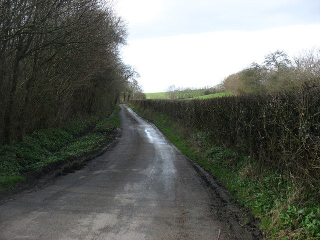
Hollins Wood is a picturesque woodland located in Cumberland, England. Situated in the heart of the county, it spans over a vast area, boasting a diverse range of trees, plants, and wildlife. The wood is known for its enchanting beauty and tranquil atmosphere, making it a popular destination for nature enthusiasts and hikers alike.
Covered in a thick canopy of tall trees, including oak, beech, and ash, Hollins Wood provides a haven for various woodland creatures such as deer, rabbits, and squirrels. The forest floor is carpeted with a rich layer of moss, ferns, and wildflowers, creating a vibrant and colorful display throughout the seasons.
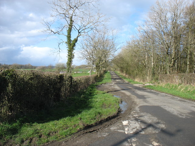
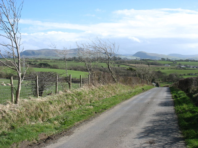
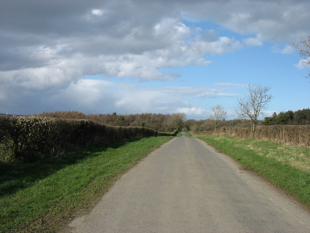
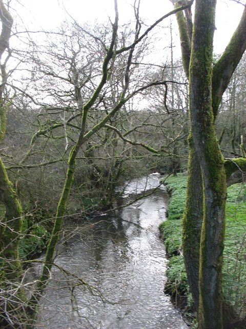
Visitors to Hollins Wood can explore a network of well-maintained trails that wind their way through the forest, offering breathtaking views and opportunities for birdwatching. The wood is also home to a small stream, which adds to the serene ambiance and provides a refreshing spot for picnickers to relax and unwind.
The wood is managed by the local forestry commission, ensuring its preservation and conservation. In recent years, efforts have been made to enhance biodiversity within the wood, including the planting of native tree species and the installation of bird boxes to encourage nesting.
Hollins Wood is easily accessible, with a nearby car park and public transport links. It offers a peaceful escape from the bustling city life, allowing visitors to immerse themselves in nature's splendor and experience the tranquility of a true British woodland.
If you have any feedback on the listing, please let us know in the comments section below.
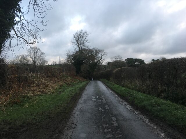
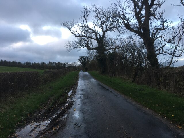
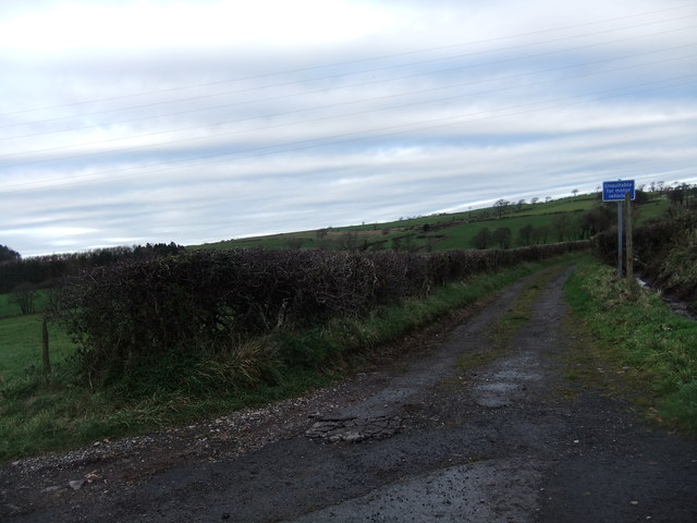
Hollins Wood Images
Images are sourced within 2km of 54.618902/-3.4463756 or Grid Reference NY0625. Thanks to Geograph Open Source API. All images are credited.


Hollins Wood is located at Grid Ref: NY0625 (Lat: 54.618902, Lng: -3.4463756)
Administrative County: Cumbria
District: Allerdale
Police Authority: Cumbria
What 3 Words
///respected.searches.poodle. Near Distington, Cumbria
Nearby Locations
Related Wikis
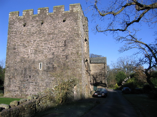
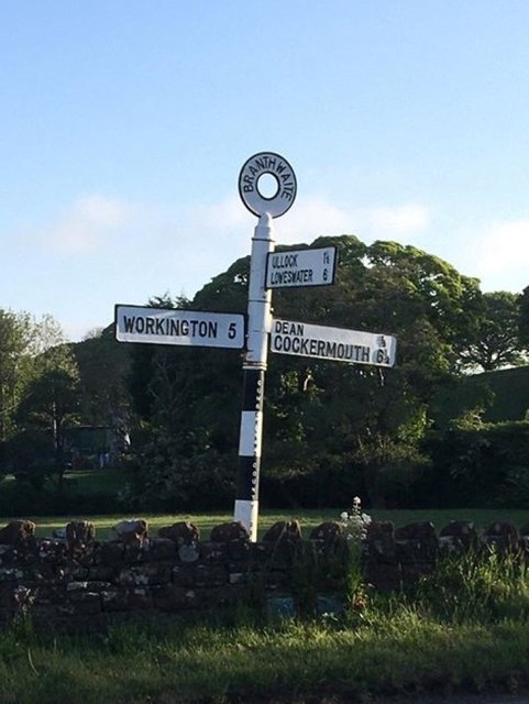
Branthwaite Hall
Branthwaite Hall is pele tower in Cumbria, England, considered by historian Anthony Emery to be "one of the best-preserved early houses in Cumbria"....
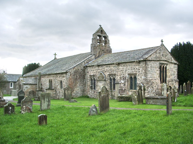
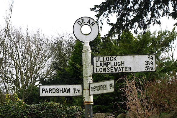
St Oswald's Church, Dean
St Oswald's Church is in the village of Dean, Cumbria, England. It is an active Anglican parish church in the deanery of Derwent, the archdeaconry of...
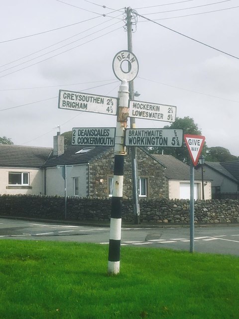
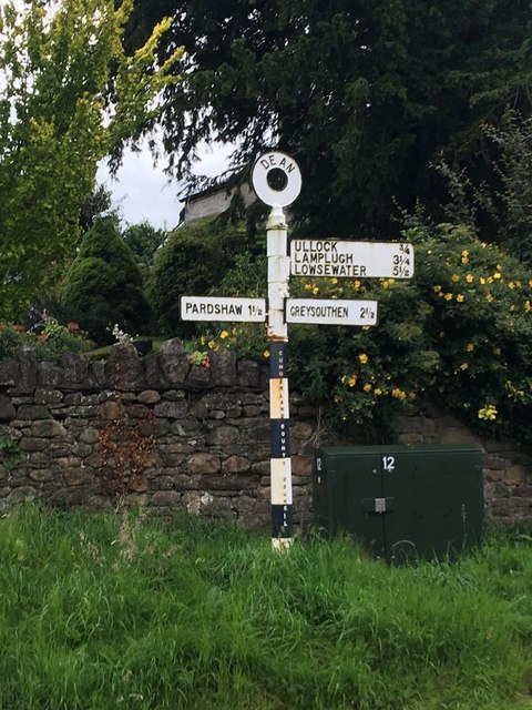
Dean, Cumbria
Dean is a village and civil parish in the county of Cumbria, England. Dean has a Church of England school, a church called St Oswald's. Nearby settlements...
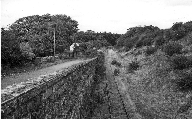
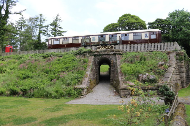
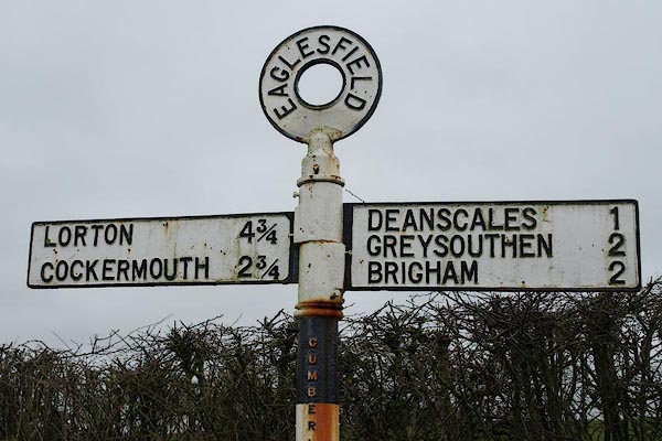
Branthwaite railway station
Branthwaite railway station was built by the Whitehaven, Cleator and Egremont Railway. It served the village of Branthwaite, Cumbria, England. == History... ==
Nearby Amenities
Located within 500m of 54.618902,-3.4463756Have you been to Hollins Wood?
Leave your review of Hollins Wood below (or comments, questions and feedback).