Burridge's Copse

Wood, Forest in Somerset Somerset West and Taunton

England

Burridge's Copse

Ashbrittle Yew in the churchyard Said to be over 3000 years old
Ashbrittle Yew in the churchyard Credit: Rob Purvis

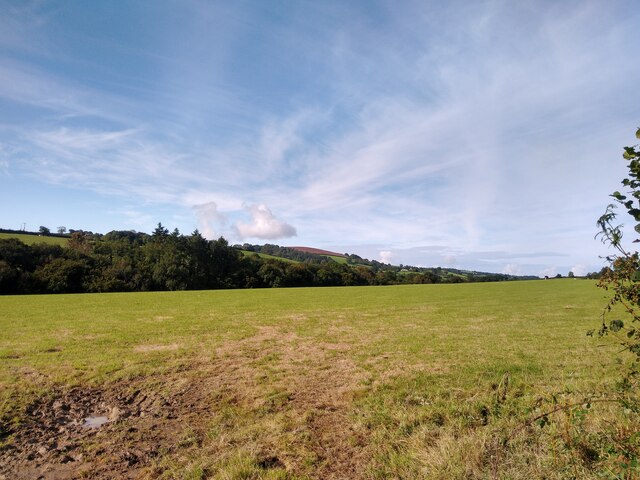
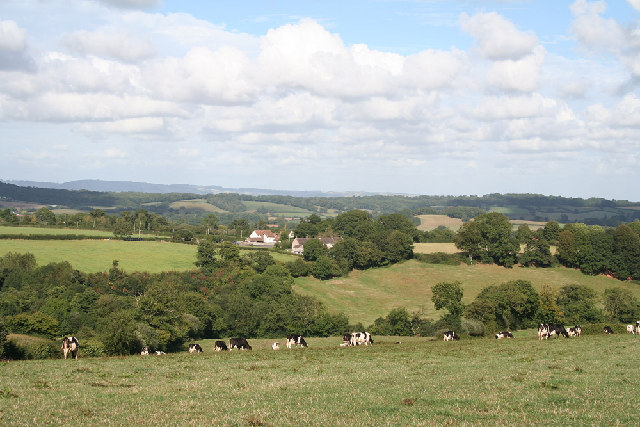
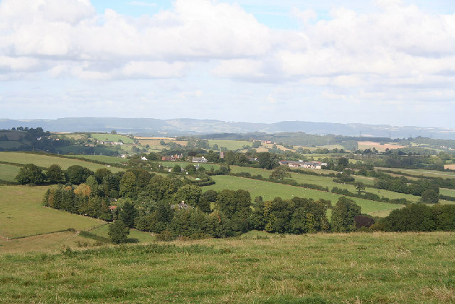
Burridge's Copse is a charming woodland located in Somerset, England. This picturesque forest is situated in the beautiful countryside, offering a tranquil and serene escape from the hustle and bustle of city life.

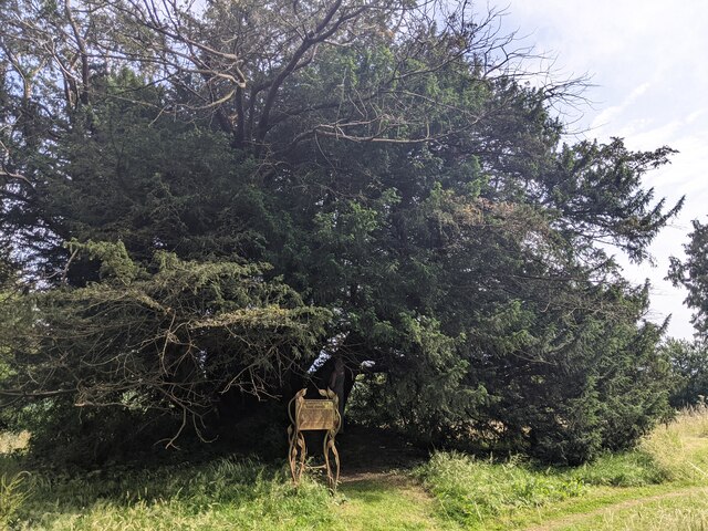
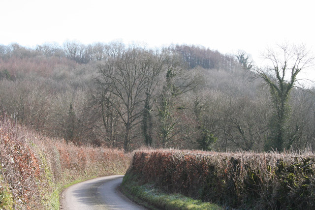
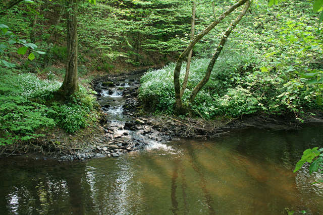
Covering an area of approximately 50 acres, Burridge's Copse is home to a diverse range of trees, including oak, beech, and ash. The forest boasts a rich and varied ecosystem, providing a habitat for numerous species of wildlife, such as deer, foxes, and various bird species.

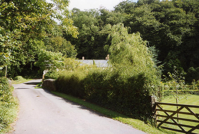
The woodland is a popular destination for nature lovers and outdoor enthusiasts. Its well-maintained footpaths and trails make it a perfect spot for leisurely walks, hiking, and cycling. The forest also offers a picnic area, providing visitors with an opportunity to relax and enjoy the peaceful surroundings while enjoying a packed lunch.

Burridge's Copse is not only a haven for wildlife and a recreational space, but it also has historical significance. The forest is believed to have ancient origins, dating back several centuries. It is thought to have been managed by local communities for wood and timber, and remnants of old charcoal hearths can still be found within the woodland.

Overall, Burridge's Copse is a hidden gem in Somerset, offering a blend of natural beauty, wildlife diversity, and historical charm. Whether one seeks a peaceful retreat, a chance to explore nature, or a glimpse into the region's past, this woodland provides an enchanting experience for visitors of all ages.

If you have any feedback on the listing, please let us know in the comments section below.

Burridge's Copse Images

Images are sourced within 2km of 50.984686/-3.3385359 or Grid Reference ST0621. Thanks to Geograph Open Source API. All images are credited.
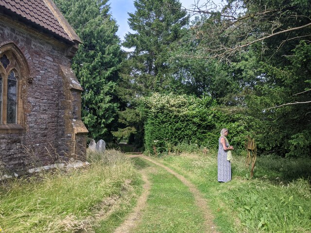
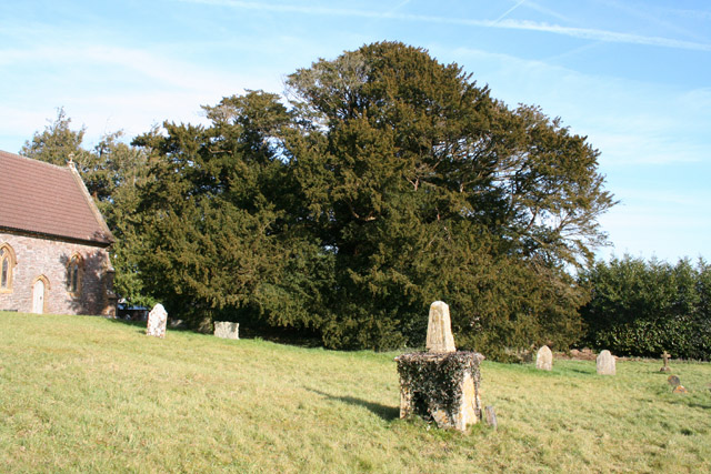
Ashbrittle Yew in the churchyard Said to be over 3000 years old
Ashbrittle Yew in the churchyard
Said to be over 3000 years old
Visiting the Ashbrittle Yew at the church
Junction at Waldron's Cross, looking east
Entering Ashbrittle from the west
View from NCN344 near Stawley Mill Photograph taken looking north west from the NCN344 just north of Stawley Mill.
View from NCN344 near Stawley Mill
Photograph taken looking north west from the NCN344 just north of Stawley Mill.
Holcombe Rogus: east to Bishop's Barton Bishop's Barton is in the parish of Stawley, across the river Tone
Holcombe Rogus: east to Bishop's Barton
Bishop's Barton is in the parish of Stawley, across the river Tone
Hockworthy: north east to Ashbrittle On the border of Devon and Somerset: Ashbrittle church, in Somerset, centre of image. The Quantocks are on the horizon. Viewed from the Lea Barton - Staple Cross lane in Devon
Hockworthy: north east to Ashbrittle
On the border of Devon and Somerset: Ashbrittle church, in Somerset, centre of image. The Quantocks are on the horizon. Viewed from the Lea Barton - Staple Cross lane in Devon
Stawley: near Stawley Mill In the Tone valley. Stawley Mill is now a private house. The bridge in the foreground crosses a small tributary of the Tone. The latter runs to the right of the image, beyond the gate and field
Stawley: near Stawley Mill
In the Tone valley. Stawley Mill is now a private house. The bridge in the foreground crosses a small tributary of the Tone. The latter runs to the right of the image, beyond the gate and field
Stawley: The Globe In the hamlet of Appley, this public house has a good reputation for food. Looking north
Stawley: The Globe
In the hamlet of Appley, this public house has a good reputation for food. Looking north
Stawley: St Michael’s Church Robin Bush, who wrote ‘Somerset, The Complete Guide’ [The Dovecote Press, 1994], regards Stawley church as one of his favourites. It stands somewhat remote above the valley of the river Tone. Looking north
Stawley: St Michael’s Church
Robin Bush, who wrote ‘Somerset, The Complete Guide’ [The Dovecote Press, 1994], regards Stawley church as one of his favourites. It stands somewhat remote above the valley of the river Tone. Looking north
Ashbrittle: Waldron’s Farm The formal entrance, looking north
Ashbrittle: Waldron’s Farm
The formal entrance, looking north
Ashbrittle: towards the Tone valley Looking east on the lane from Waldron’s Cross, on a bright February day
Ashbrittle: towards the Tone valley
Looking east on the lane from Waldron’s Cross, on a bright February day
Ashbrittle: the Ashbrittle Yew Reputed to be 3000 years old, this tree was standing when Stonehenge was in use. Clearly it predates the adjoining church by millennia and it may mark a holy place or commemorate a battle site. Whatever its origins, it is thought to be one of the oldest living things in Britain. Looking east
Ashbrittle: the Ashbrittle Yew
Reputed to be 3000 years old, this tree was standing when Stonehenge was in use. Clearly it predates the adjoining church by millennia and it may mark a holy place or commemorate a battle site. Whatever its origins, it is thought to be one of the oldest living things in Britain. Looking east
Holcombe Rogus: the Tone at Tracebridge Confluence of the river Tone with its tributary the Morecombe Lake just downstream from the bridge, with wild garlic in flower. Three parishes meet here: Holcombe Rogus, Ashbrittle and Stawley. Looking west-south-west
Holcombe Rogus: the Tone at Tracebridge
Confluence of the river Tone with its tributary the Morecombe Lake just downstream from the bridge, with wild garlic in flower. Three parishes meet here: Holcombe Rogus, Ashbrittle and Stawley. Looking west-south-west
Ashbrittle: Pool Hill Looking north from Golden Gate. Pool Hill leads to Waldrons Cross
Ashbrittle: Pool Hill
Looking north from Golden Gate. Pool Hill leads to Waldrons Cross
Ashbrittle: Waldron’s Farm Looking north-north-west along the avenue
Ashbrittle: Waldron’s Farm
Looking north-north-west along the avenue
Stawley: Tracebridge A hamlet which was once home to two mills: a corn mill, which then worked as a saw mill in the last quarter of the 19th century and a slate cutting mill which served the nearby Tracebridge Quarries, established by 1894 and closed by 1935. For a full history of the hamlet see Eric G Rodwell. Tracebridge. A History of the Hamlet, its Houses, The Quarries and the Mill. A copy is available at the Somerset Studies Library, Paul Street, Taunton
Stawley: Tracebridge
A hamlet which was once home to two mills: a corn mill, which then worked as a saw mill in the last quarter of the 19th century and a slate cutting mill which served the nearby Tracebridge Quarries, established by 1894 and closed by 1935. For a full history of the hamlet see Eric G Rodwell. Tracebridge. A History of the Hamlet, its Houses, The Quarries and the Mill. A copy is available at the Somerset Studies Library, Paul Street, Taunton
Stawley: Bullockfield Hill Horse and rider breast the top of the hill. Looking south east
Stawley: Bullockfield Hill
Horse and rider breast the top of the hill. Looking south east
Show me another place!

Burridge's Copse is located at Grid Ref: ST0621 (Lat: 50.984686, Lng: -3.3385359)

Administrative County: Somerset

District: Somerset West and Taunton

Police Authority: Avon and Somerset

What 3 Words

///padding.strongman.rebel. Near Wiveliscombe, Somerset
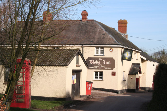
Related Wikis

Hill Farm, Stawley

Hill Farm in Stawley, Somerset, England was built in the late 16th century. It is a Grade II* listed building. == History == The farmhouse was built in...

Ashbrittle

Ashbrittle is a village and civil parish in Somerset, England, situated nine miles west of Taunton and close to the River Tone and the route of the Grand...

Church of St John the Baptist, Ashbrittle

The Church of St John the Baptist is a Church of England parish church in Ashbrittle, Somerset. It was built in the 15th century, and is a Grade II* listed...

Stawley

Stawley is a village and civil parish in Somerset, England, situated 10 miles (16.1 km) west of Taunton. The parish has a population of 279 and includes...

Kittisford

Kittisford is a village and former civil parish and manor, now in the parish of Stawley in the Somerset district, in the ceremonial county of Somerset...

Church of St Nicholas, Kittisford

The Anglican Church of St Nicholas in Kittisford, Somerset, England was built around 1500. It is a Grade II* listed building. == History == The church...
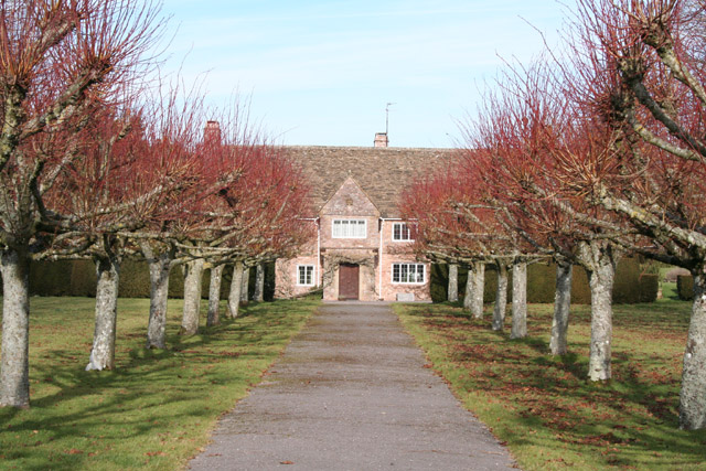
Greenham Hall

Greenham Hall is a country house at Wellington in Somerset. It was once the home of Admiral of the Fleet Sir John Kelly. It is a Grade II listed building...

Cothay Manor

Cothay Manor is a grade one listed medieval house and gardens, in Stawley, near Wellington, Somerset. The manor grounds consist of almost 40 acres and...

Nearby Amenities

Located within 500m of 50.984686,-3.3385359
Tracebridge
Place: hamlet
Lat/Long: 50.9828301/-3.3328268
The data included in this document is from www.openstreetmap.org. The data is made available under ODbL.

Have you been to Burridge's Copse?

Leave your review of Burridge's Copse below (or comments, questions and feedback).