Laurel Copse

Wood, Forest in Devon East Devon

England

Laurel Copse

Rockbeare Hill New Trig Point Flush Bracket S5507
Rockbeare Hill New Trig Point Flush Bracket S5507 Credit: thejackrustles

Laurel Copse is a picturesque woodland located in the scenic county of Devon, England. Spread across several acres, this enchanting forest is a haven for nature lovers and outdoor enthusiasts alike. Situated near the town of Newton Abbot, Laurel Copse offers a peaceful retreat for those seeking solace in nature's embrace.

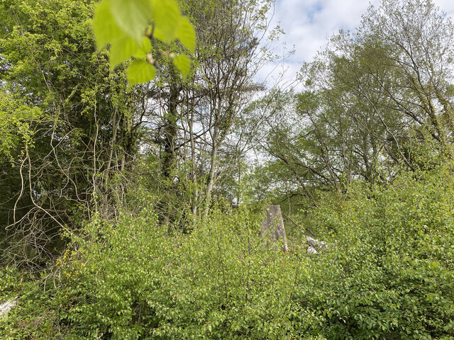
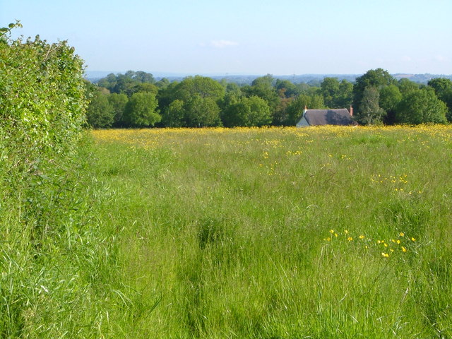
The woodland is predominantly composed of towering laurel trees, which provide a lush green canopy that blankets the forest floor. The dense foliage creates a sense of tranquility and seclusion, allowing visitors to feel a world away from the hustle and bustle of everyday life. As sunlight filters through the leaves, it creates a mesmerizing dappled effect, adding to the ethereal beauty of the woodland.

Laurel Copse is home to a diverse range of flora and fauna. Wildflowers such as primroses, bluebells, and wood anemones carpet the forest floor during the spring, creating a vibrant tapestry of colors. The woodland is also inhabited by a variety of bird species, including woodpeckers, thrushes, and owls, making it a haven for birdwatchers.

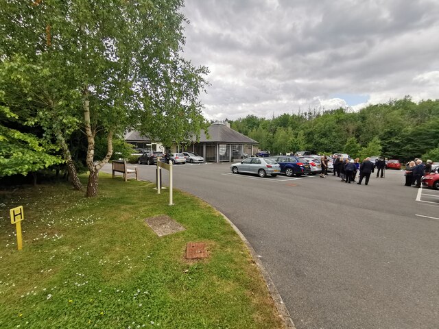
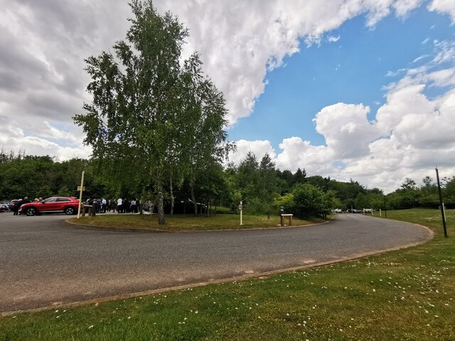
The forest offers several walking trails that wind their way through the trees, allowing visitors to explore the beauty of the surroundings at their own pace. These trails vary in difficulty, making them suitable for all ages and fitness levels. Along the way, you may stumble upon hidden streams and small waterfalls, adding to the enchantment of the woodland.

Whether you are seeking a peaceful stroll, a place to connect with nature, or simply a spot to enjoy a picnic amidst breathtaking scenery, Laurel Copse is a destination that promises to captivate and rejuvenate all who venture into its mesmerizing embrace.

If you have any feedback on the listing, please let us know in the comments section below.

Laurel Copse Images

Images are sourced within 2km of 50.749805/-3.3380329 or Grid Reference SY0595. Thanks to Geograph Open Source API. All images are credited.

Rockbeare Hill New Trig Point Flush Bracket S5507
Whimple :  East Devon Crematorium Looking across the car park of East Devon Crematorium.
Whimple : East Devon Crematorium
Looking across the car park of East Devon Crematorium.
Whimple :  East Devon Crematorium A wildlife and memorial garden in the crematorium grounds.
Whimple : East Devon Crematorium
A wildlife and memorial garden in the crematorium grounds.
Whimple :  East Devon Crematorium A road heading through the crematorium.
Whimple : East Devon Crematorium
A road heading through the crematorium.
Whimple :  East Devon Crematorium Only Fools and Hearses and a Reliant Robin to bring in the coffin based on the popular BBC comedy Only Fools and Horses.
Whimple : East Devon Crematorium
Only Fools and Hearses and a Reliant Robin to bring in the coffin based on the popular BBC comedy Only Fools and Horses.
Country Lane A country lane between Whimple and Larkbeare Court in Devon.
Country Lane
A country lane between Whimple and Larkbeare Court in Devon.
Churchyard view Looking north from the church of St Michael the Archangel.
Churchyard view
Looking north from the church of St Michael the Archangel.
Lichgate to St Michael the Archangel West Hill A mid Victorian church still serving the small community of West Hill.
Lichgate to St Michael the Archangel West Hill
A mid Victorian church still serving the small community of West Hill.
St Michael's Church at West Hill A view of St Michael's Church at West Hill in Devon as seen from the churchyard.
St Michael's Church at West Hill
A view of St Michael's Church at West Hill in Devon as seen from the churchyard.
School Lane in West Hill Looking along School Lane in West Hill, Devon. The entrance on the right is into the British Legion Club car park.
School Lane in West Hill
Looking along School Lane in West Hill, Devon. The entrance on the right is into the British Legion Club car park.
Mulberry House in West Hill This is the gated entrance of Mulberry House, a private residence on School Lane situated in West Hill, Devon.
Mulberry House in West Hill
This is the gated entrance of Mulberry House, a private residence on School Lane situated in West Hill, Devon.
Pedestrian bridge at Daisymount junction
Slip road joining at Daisymount junction
A30 west near Solar Farm
Footbridge over the A30 The A30 is 284 miles long, from central London to Land's End, historically known as the Great South West Road. The M3 and A303 now are the preferred route for most travellers. Only part of the road is still a trunk road.
Wikipedia: <span class="nowrap"><a title="http://en.wikipedia.org/wiki/A30_road" rel="nofollow ugc noopener" href="http://en.wikipedia.org/wiki/A30_road">Link</a><img style="margin-left:2px;" alt="External link" title="External link - shift click to open in new window" src="https://s1.geograph.org.uk/img/external.png" width="10" height="10"/></span>
Footbridge over the A30
The A30 is 284 miles long, from central London to Land's End, historically known as the Great South West Road. The M3 and A303 now are the preferred route for most travellers. Only part of the road is still a trunk road. Wikipedia: LinkExternal link
Sign, A30
Sign, A30
Rewe Lane Bridge, A30 The A30 is 284 miles long, from central London to Land's End, historically known as the Great South West Road. The M3 and A303 now are the preferred route for most travellers. Only part of the road is still a trunk road.
Wikipedia: <span class="nowrap"><a title="http://en.wikipedia.org/wiki/A30_road" rel="nofollow ugc noopener" href="http://en.wikipedia.org/wiki/A30_road">Link</a><img style="margin-left:2px;" alt="External link" title="External link - shift click to open in new window" src="https://s1.geograph.org.uk/img/external.png" width="10" height="10"/></span>
Rewe Lane Bridge, A30
The A30 is 284 miles long, from central London to Land's End, historically known as the Great South West Road. The M3 and A303 now are the preferred route for most travellers. Only part of the road is still a trunk road. Wikipedia: LinkExternal link
Show me another place!

Laurel Copse is located at Grid Ref: SY0595 (Lat: 50.749805, Lng: -3.3380329)

Administrative County: Devon

District: East Devon

Police Authority: Devon and Cornwall

What 3 Words

///packing.conveying.greyhound. Near Whimple, Devon

Related Wikis

Aller Grove

Aller Grove is a village in Devon, England. == References ==

West Hill, Devon

West Hill is a village in the East Devon district of Devon, England. The village lies approximately 2 miles south west of Ottery St Mary, its nearest town...

Marsh Green, Devon

Marsh Green is a small village about 8 miles east of Exeter and 4 miles west of Ottery St Mary in East Devon, England, at OS grid reference SY042936....

Belbury Castle

Belbury Castle is the name given to an Iron Age earthwork, probably a hill fort or livestock enclosure, close to Ottery St Mary in Devon, England. The...

Nearby Amenities

Located within 500m of 50.749805,-3.3380329
Motorway Junction
Daisymount Junction
Lat/Long: 50.7494466/-3.338876
Design: barrel
Power: tower
Lat/Long: 50.7476185/-3.3409059
Design: barrel
Power: tower
Lat/Long: 50.7494828/-3.3321967
Design: barrel
Power: tower
Lat/Long: 50.7486487/-3.3363381
Give Way
Direction: backward
Lat/Long: 50.7540443/-3.3398344
Give Way
Direction: backward
Lat/Long: 50.7502974/-3.3311681
Give Way
Direction: forward
Lat/Long: 50.7496389/-3.3313438
The data included in this document is from www.openstreetmap.org. The data is made available under ODbL.

Have you been to Laurel Copse?

Leave your review of Laurel Copse below (or comments, questions and feedback).