Bulland Plantation
Wood, Forest in Somerset Somerset West and Taunton
England
Bulland Plantation

Bulland Plantation is a picturesque woodland located in Somerset, England. Spread over a vast area, it is known for its dense forest cover and diverse flora and fauna. The plantation is situated in close proximity to the small village of Bulland, which adds to its charm and accessibility.
The woodland is predominantly made up of deciduous trees, including oak, beech, and ash. These towering trees provide a lush green canopy that offers shelter to a wide range of wildlife species. Visitors to Bulland Plantation can expect to encounter various bird species, such as woodpeckers, owls, and songbirds, as well as small mammals like foxes, deer, and rabbits.
The plantation offers several well-maintained walking trails, allowing visitors to explore and appreciate the natural beauty of the area. These paths wind their way through the woodland, offering breathtaking views of the surrounding countryside. The tranquil atmosphere and the soothing sounds of nature make Bulland Plantation a popular destination for nature enthusiasts, hikers, and families looking for a peaceful retreat.
In addition to its natural beauty, Bulland Plantation also serves as an important habitat for conservation. Efforts are underway to preserve and protect the woodland, ensuring the sustainability of its ecosystem for future generations.
Overall, Bulland Plantation in Somerset is a serene and enchanting woodland that offers a refreshing escape from the hustle and bustle of everyday life. Its rich biodiversity and scenic trails make it a must-visit destination for anyone seeking a connection with nature.
If you have any feedback on the listing, please let us know in the comments section below.
Bulland Plantation Images
Images are sourced within 2km of 51.036786/-3.3506199 or Grid Reference ST0527. Thanks to Geograph Open Source API. All images are credited.


Bulland Plantation is located at Grid Ref: ST0527 (Lat: 51.036786, Lng: -3.3506199)
Administrative County: Somerset
District: Somerset West and Taunton
Police Authority: Avon and Somerset
What 3 Words
///bolt.reinstate.harmonica. Near Wiveliscombe, Somerset
Related Wikis

Chipstable
Chipstable is a village and civil parish in Somerset, England, situated beside Heydon Hill 10 miles (16.1 km) west of Taunton. The parish has a population...

Church of All Saints, Chipstable
The Church of All Saints is an Anglican church in Chipstable, Somerset, England which probably dates from the early 13th century. It is located in the...
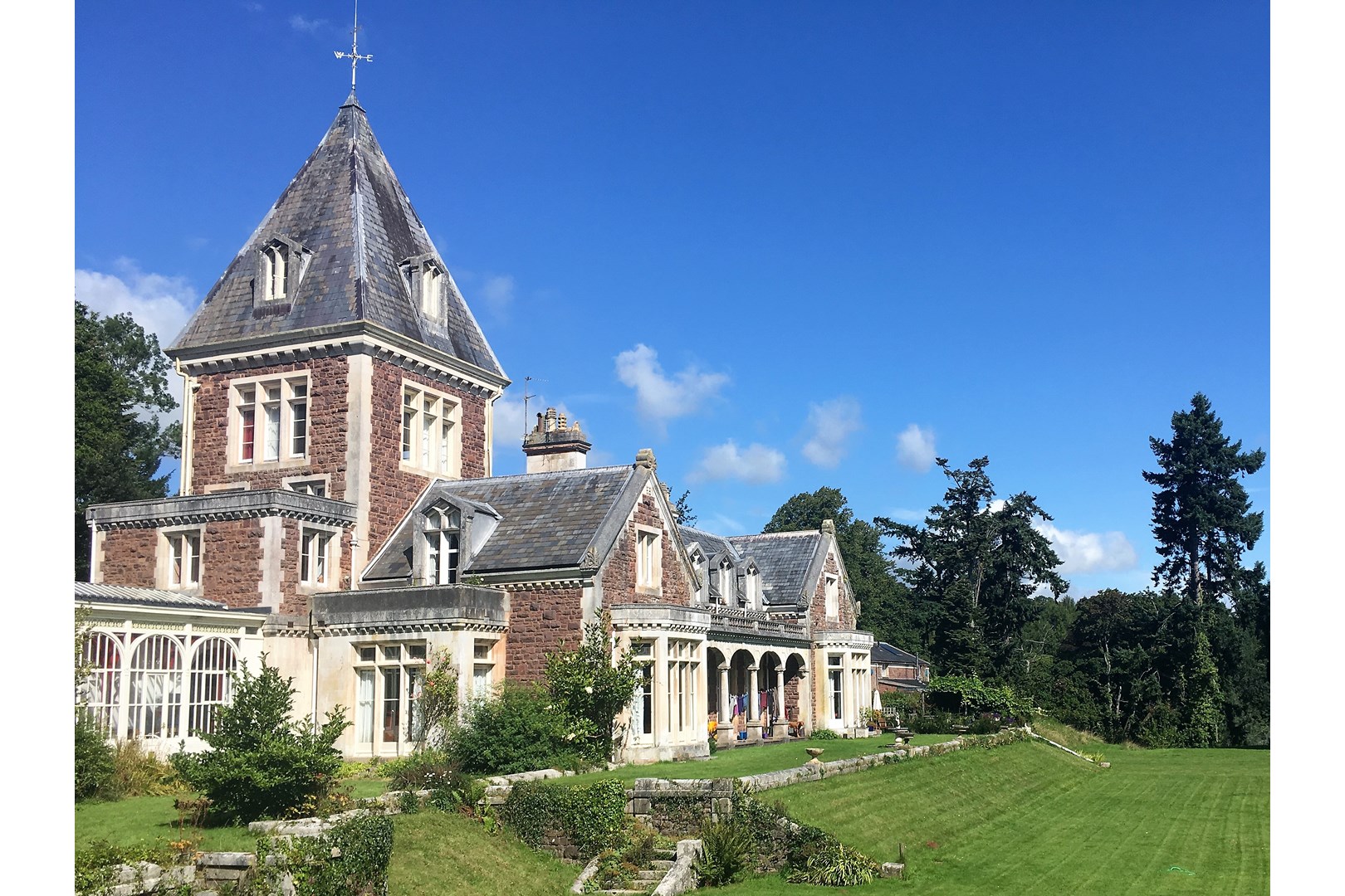
Abbotsfield, Wiveliscombe
Abbotsfield is a country house and farm, to the west of the town of Wiveliscombe, Somerset, England. Built in 1872, it became a Grade II listed building...

Huish Champflower
Huish Champflower is a village and civil parish in Somerset, England, three miles north-west of Wiveliscombe and ten miles north of Wellington. It has...
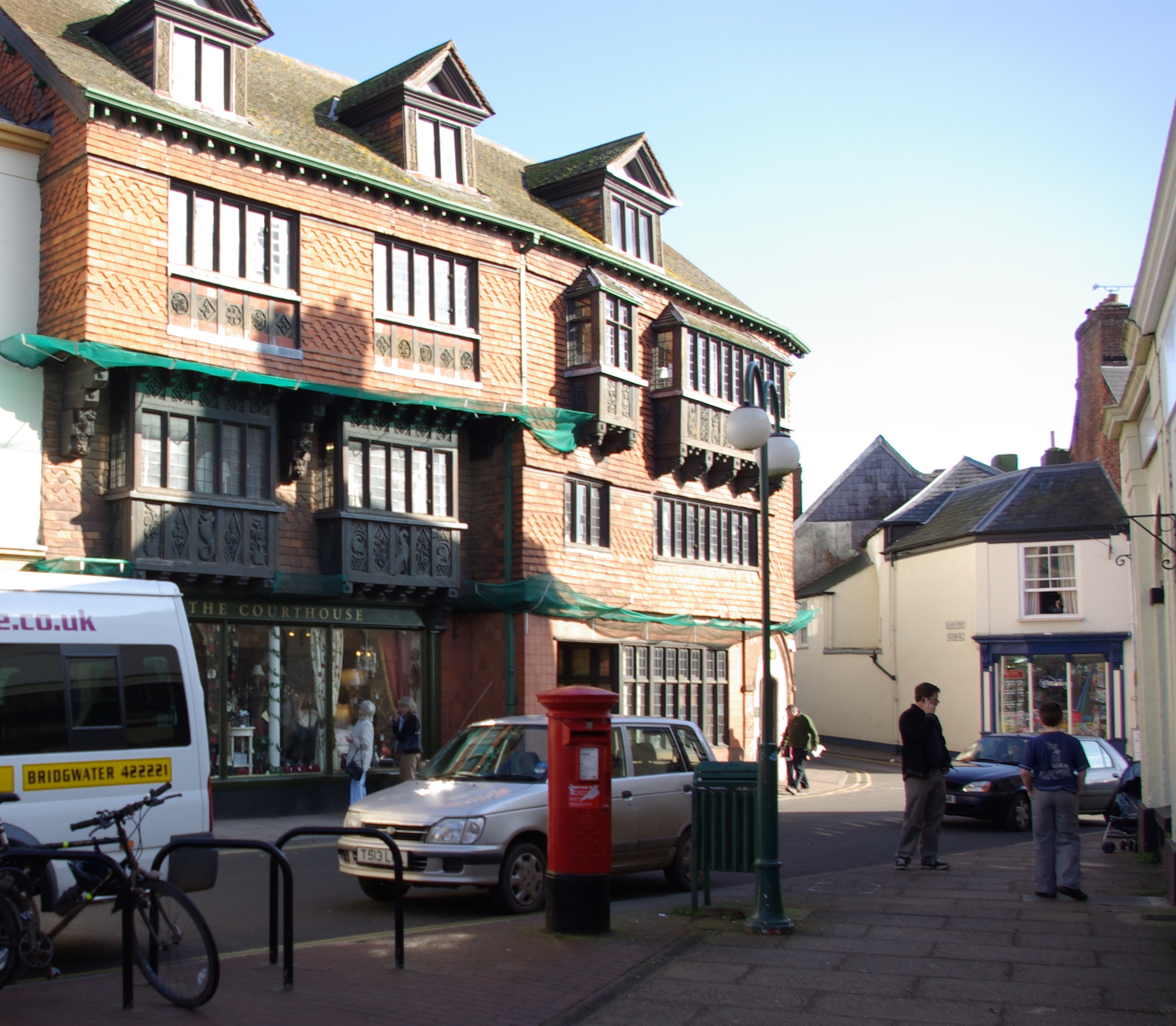
Wiveliscombe
Wiveliscombe (, locally ) is a town and civil parish in Somerset, England, situated 9 miles (14 km) west of Taunton. The town has a population of 2,893...

Castles Camp
Castles Camp is a univallate Iron Age hill fort in the Taunton Deane district of Somerset, England. The hill fort is situated approximately 1 mile (1.6...

Church of St Andrew, Wiveliscombe
The Church Of St Andrew in Wiveliscombe, Somerset, England was built in 1829. It is a Grade II* listed building. == History == The church was built by...

Kingsmead School, Wiveliscombe
Kingsmead School (KS) is a coeducational state school in Wiveliscombe, Somerset, England, serving the north-west of Taunton Deane district. It had 804...
Have you been to Bulland Plantation?
Leave your review of Bulland Plantation below (or comments, questions and feedback).