Piccadilly Copse
Wood, Forest in Devon East Devon
England
Piccadilly Copse
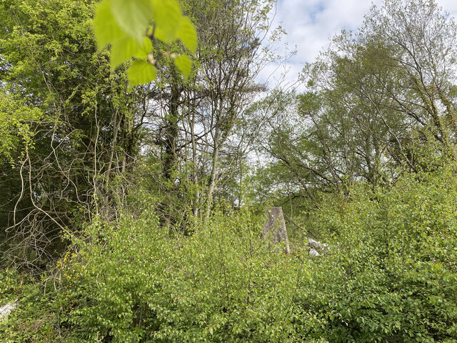
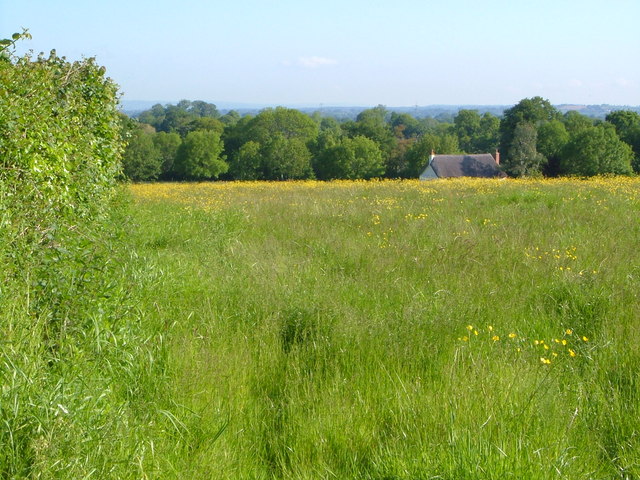
Piccadilly Copse is a charming woodland located in the county of Devon, England. Situated in the southwest corner of the country, this picturesque forest covers an area of approximately 50 acres, providing a peaceful retreat from the hustle and bustle of urban life.
The copse is characterized by a diverse range of tree species, including oak, beech, and ash, which create a rich canopy of foliage that provides shade during the summer months. The forest floor is adorned with an array of wildflowers, creating a vibrant and colorful display, particularly in the springtime.
The woodland is crisscrossed with numerous walking trails, allowing visitors to explore its natural beauty at their own pace. These paths wind through the forest, passing by tranquil streams and small ponds, providing a serene setting for nature enthusiasts and avid hikers alike.
Piccadilly Copse is also home to a variety of wildlife, with sightings of deer, foxes, and squirrels being common. Birdwatchers will be delighted by the diverse avian population, with species such as woodpeckers, owls, and finches frequently spotted among the treetops.
The copse has a rich history, with evidence of human habitation dating back centuries. Remnants of old stone walls and foundations can still be found, hinting at its past as a settlement or agricultural land.
Overall, Piccadilly Copse offers a tranquil and idyllic setting for those seeking to connect with nature. With its diverse range of flora and fauna, as well as its scenic walking trails, this woodland in Devon is a true gem waiting to be discovered.
If you have any feedback on the listing, please let us know in the comments section below.
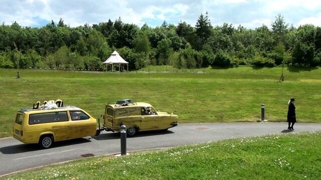
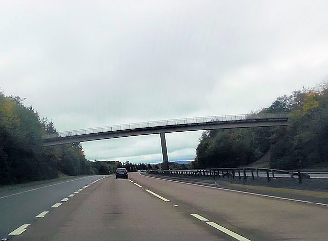
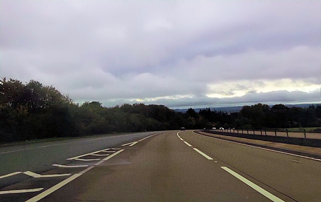
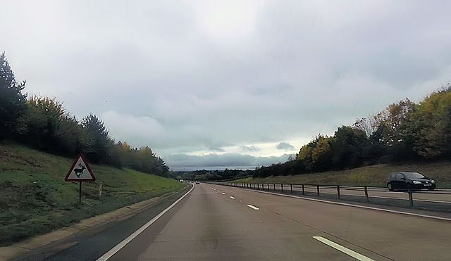
Piccadilly Copse Images
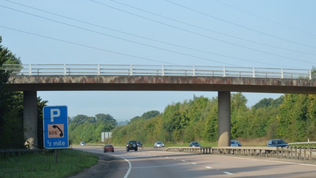
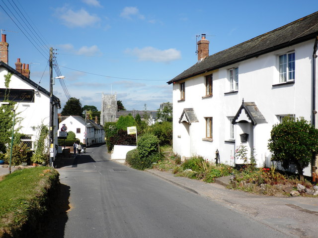
Images are sourced within 2km of 50.753196/-3.3450336 or Grid Reference SY0595. Thanks to Geograph Open Source API. All images are credited.


Piccadilly Copse is located at Grid Ref: SY0595 (Lat: 50.753196, Lng: -3.3450336)
Administrative County: Devon
District: East Devon
Police Authority: Devon and Cornwall
What 3 Words
///flotation.joked.graver. Near Whimple, Devon
Nearby Locations
Related Wikis
Aller Grove
Aller Grove is a village in Devon, England. == References ==
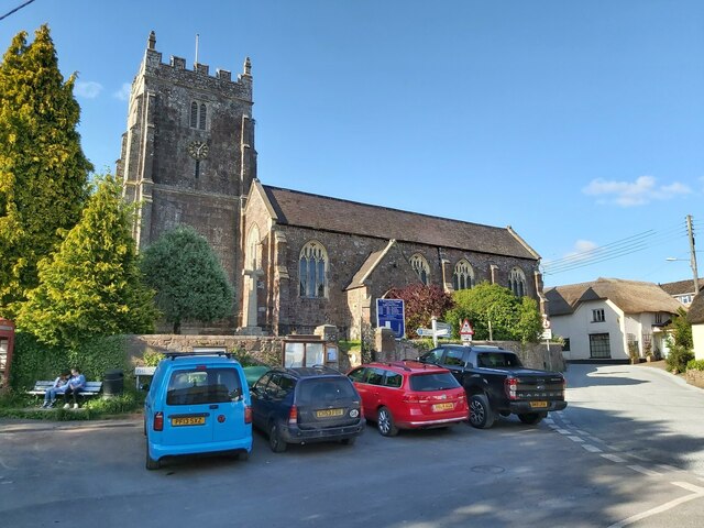
Whimple
Whimple is a village and civil parish in East Devon in the English county of Devon, approximately 9 miles (14 km) due east of the city of Exeter, and 3...

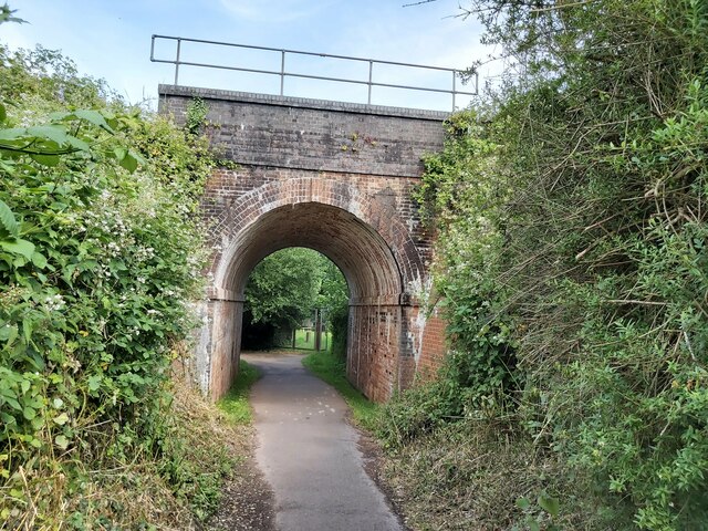
Whimple railway station
Whimple railway station serves the village of Whimple in east Devon, England. It is operated by South Western Railway which provides services on the West...

Marsh Green, Devon
Marsh Green is a small village about 8 miles east of Exeter and 4 miles west of Ottery St Mary in East Devon, England, at OS grid reference SY042936....

West Hill, Devon
West Hill is a village in the East Devon district of Devon, England. The village lies approximately 2 miles south west of Ottery St Mary, its nearest town...

Rockbeare
Rockbeare is a village and civil parish in the East Devon district of the county of Devon, England, located near Exeter Airport and the city of Exeter...

Allercombe
Allercombe is a hamlet in east Devon, England. It lies just south of the A30 road between the villages of Whimple and Aylesbeare.
Belbury Castle
Belbury Castle is the name given to an Iron Age earthwork, probably a hill fort or livestock enclosure, close to Ottery St Mary in Devon, England. The...
Nearby Amenities
Located within 500m of 50.753196,-3.3450336Have you been to Piccadilly Copse?
Leave your review of Piccadilly Copse below (or comments, questions and feedback).