Canterbury Green Plantation

Wood, Forest in Devon East Devon

England

Canterbury Green Plantation

Aylesbeare Common Trig Point Flush Bracket S3901
Aylesbeare Common Trig Point Flush Bracket S3901 Credit: thejackrustles

Canterbury Green Plantation is a picturesque woodland located in Devon, England. Spread across a sprawling area, the plantation is renowned for its lush greenery and serene atmosphere. Situated in the heart of Devon, it offers a tranquil retreat for nature enthusiasts and those seeking solace in the lap of nature.

The plantation boasts a diverse range of tree species, including oak, beech, and chestnut, creating a vibrant and enchanting forest. The tall, majestic trees provide a dense canopy, allowing only speckled sunlight to filter through, creating a mesmerizing play of light and shadow. The forest floor is covered with a thick carpet of moss and wildflowers, adding to the enchanting ambiance.

Canterbury Green Plantation is a haven for wildlife, serving as a habitat for various species. Birdwatchers can spot a variety of avian species, including woodpeckers, tawny owls, and thrushes. Squirrels scurry through the branches, adding a touch of liveliness to the serene surroundings.

The plantation offers several well-maintained trails, allowing visitors to explore the woodland at their own pace. These paths wind through the forest, providing breathtaking views at every turn. The plantation also has designated picnic areas, where visitors can enjoy a leisurely lunch amidst nature.

Canterbury Green Plantation is a popular destination for nature walks, hiking, and photography. Its beauty and tranquility make it an ideal spot for nature lovers, artists, and those in search of a peaceful retreat. Whether it is a leisurely stroll or an adventurous hike, the plantation promises a memorable experience for all who visit.

If you have any feedback on the listing, please let us know in the comments section below.

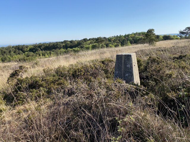
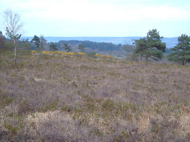
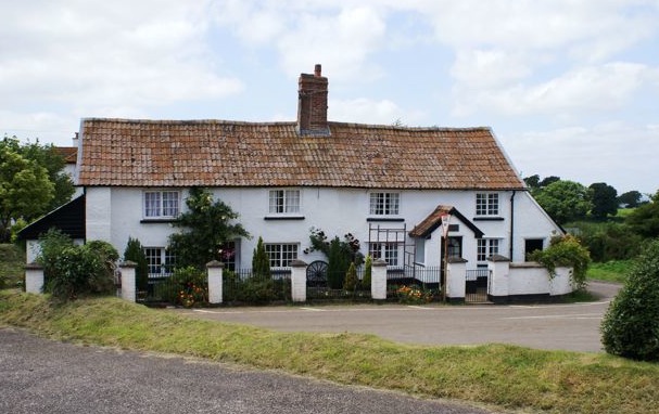
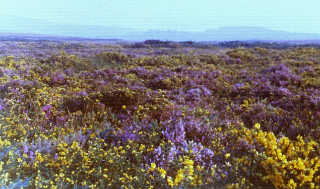
Canterbury Green Plantation Images

Images are sourced within 2km of 50.696095/-3.3484541 or Grid Reference SY0489. Thanks to Geograph Open Source API. All images are credited.

Aylesbeare Common Trig Point Flush Bracket S3901
Track across Aylesbeare Common This common, another of the Pebblebed Heaths, is managed by the RSPB with the  chance to see rarer birds like the Dartford warbler and nightjar <span class="nowrap"><a title="https://www.rspb.org.uk/reserves-and-events/reserves-a-z/aylesbeare-common" rel="nofollow ugc noopener" href="https://www.rspb.org.uk/reserves-and-events/reserves-a-z/aylesbeare-common">Link</a><img style="margin-left:2px;" alt="External link" title="External link - shift click to open in new window" src="https://s1.geograph.org.uk/img/external.png" width="10" height="10"/></span>
Track across Aylesbeare Common
This common, another of the Pebblebed Heaths, is managed by the RSPB with the chance to see rarer birds like the Dartford warbler and nightjar LinkExternal link
The East Devon Way entering Harpford Common The seventh, and final Pebblebed Heath common crossed by the East Devon Way
The East Devon Way entering Harpford Common
The seventh, and final Pebblebed Heath common crossed by the East Devon Way
Old Boundary Marker on the B3180 on Woodbury Common Parish Boundary Marker on the southeast side of the B3180 on Woodbury Common. On the boundary of Woodbury and Colaton Raleigh parishes. The reverse is inscribed for Woodbury Parish. See also <a title="https://www.geograph.org.uk/photo/2343381" href="https://www.geograph.org.uk/photo/2343381">Link</a>.

Milestone Society National ID: DV_EMAY04pb
Old Boundary Marker on the B3180 on Woodbury Common
Parish Boundary Marker on the southeast side of the B3180 on Woodbury Common. On the boundary of Woodbury and Colaton Raleigh parishes. The reverse is inscribed for Woodbury Parish. See also Link. Milestone Society National ID: DV_EMAY04pb
Woodbury Common Trig Point Flush Bracket S3754
Nature reserve track
Easy Devon Way Sign
Easy Devon Way Sign
Aylesbeare Common RSPB Sign
Woodbury : Woodbury Park Chalets for overnight accommodation.
Woodbury : Woodbury Park
Chalets for overnight accommodation.
Field east of Colaton Raleigh Common Looking towards the village of Colaton Raleigh and the valley of the River Otter
Field east of Colaton Raleigh Common
Looking towards the village of Colaton Raleigh and the valley of the River Otter
Signpost at Hawkerland Cross
Naps Lane to Hawkerland
Heathland Car Park The Warren car park from the B3180 situated on the northern side of Colaton Raleigh Common in Devon.
Heathland Car Park
The Warren car park from the B3180 situated on the northern side of Colaton Raleigh Common in Devon.
The northern edge of Colaton Raleigh Common The Common to the right is used as a training ground for the Royal Marines
The northern edge of Colaton Raleigh Common
The Common to the right is used as a training ground for the Royal Marines
The East Devon Way in the north-east corner of Colaton Raleigh Common Looking over towards the valley of the River Otter
The East Devon Way in the north-east corner of Colaton Raleigh Common
Looking over towards the valley of the River Otter
The East Devon Way at Hawkerland Cross A 40 mile route that starts at Exmouth and follows the estuary of the River Exe to Lympstone and then turns east over the commons and rolling hills of the East Devon AONB via Harpford, Sidbury, Farway and Colyton to Lyme Regis. It covers a wide variety of landscapes; estuary, high open commons, woodlands and quiet river valleys. Walking is generally not difficult but the route does include some quite sharp climbs.
The East Devon Way at Hawkerland Cross
A 40 mile route that starts at Exmouth and follows the estuary of the River Exe to Lympstone and then turns east over the commons and rolling hills of the East Devon AONB via Harpford, Sidbury, Farway and Colyton to Lyme Regis. It covers a wide variety of landscapes; estuary, high open commons, woodlands and quiet river valleys. Walking is generally not difficult but the route does include some quite sharp climbs.
Climbing up to Hawkerland Valley Common A fox chasing a cat has been added to the roof of Morish Cotley since <a href="https://www.geograph.org.uk/photo/5975598">SY0588 : Morish Cotley</a>.
Climbing up to Hawkerland Valley Common
A fox chasing a cat has been added to the roof of Morish Cotley since SY0588 : Morish Cotley.
The East Devon Way entering Hawkerland Valley Common The fifth 'Pebblebed Heath' common visited on the Way today.
The East Devon Way entering Hawkerland Valley Common
The fifth 'Pebblebed Heath' common visited on the Way today.
Show me another place!

Canterbury Green Plantation is located at Grid Ref: SY0489 (Lat: 50.696095, Lng: -3.3484541)

Administrative County: Devon

District: East Devon

Police Authority: Devon and Cornwall

What 3 Words

///spells.goofy.flushes. Near Newton Poppleford, Devon

Related Wikis

Aylesbeare Common

Aylesbeare Common is a protected area in Devon, England. It is composed largely of heathland and woodland, interspersed with a few streams and ponds....

Fire Beacon Hill

Fire Beacon Hill is a Local Nature Reserve in East Devon, England. It is registered as Common land and known as Harpford Common. Sidmouth Town Council...

Nutwalls

Nutwalls is a hamlet in Devon, England. It is located 9 miles (14 km) south-east of Exeter, close to Aylesbeare. Two cottages built in the 18th century...

Woodbury Castle

Woodbury Castle is an Iron Age hillfort near the village of Woodbury in the English county of Devon, some eight miles southeast of the city of Exeter....

Aylesbeare

Aylesbeare is a village and civil parish in the East Devon district of Devon, England, 8 miles (13 km) east of Exeter. According to the 2001 census the...

Woodbury Common, Devon

Woodbury Common in East Devon, England is an area of common land that is predominantly heathland adjacent to the village of Woodbury. It is bordered to...

Venn Ottery

Venn Ottery, historically also spelt Fen Ottery, is a small village and former civil parish, now in the parish of Newton Poppleford and Harpford, in the...

Bicton, Devon

Bicton is a civil parish and a former manor in the East Devon district of Devon, England, near the town of Budleigh Salterton. The parish is surrounded...

Nearby Amenities

Located within 500m of 50.696095,-3.3484541
Barrier: stile
Foot: yes
Lat/Long: 50.6963204/-3.3428754
The data included in this document is from www.openstreetmap.org. The data is made available under ODbL.

Have you been to Canterbury Green Plantation?

Leave your review of Canterbury Green Plantation below (or comments, questions and feedback).