High Wood
Wood, Forest in Cumberland Copeland
England
High Wood
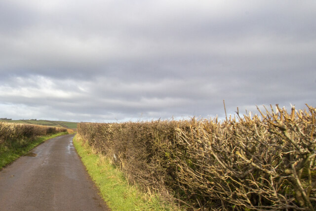
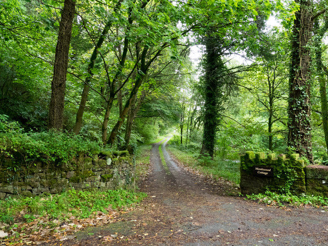
High Wood is a picturesque forest located in the county of Cumberland, England. Covering an area of approximately 200 acres, it is situated within a rural landscape, surrounded by rolling hills and fields. The wood is primarily composed of ancient broadleaved trees such as oak, beech, and ash, which create a dense canopy overhead, providing a peaceful and secluded atmosphere for visitors.
The forest is renowned for its rich biodiversity, housing a variety of flora and fauna. Wildflowers such as bluebells, primroses, and wood anemones carpet the forest floor during spring, creating a vibrant display of colors. The dense foliage and fallen trunks provide a habitat for numerous bird species, including woodpeckers, owls, and various songbirds.
High Wood offers a range of recreational activities for visitors. There are well-maintained walking trails that meander through the forest, allowing visitors to explore its beauty at their own pace. Additionally, the wood is a popular destination for nature enthusiasts, birdwatchers, and photographers, who are drawn to its tranquility and natural charm.
The forest is managed by a local conservation organization, which ensures the preservation of its natural heritage. They undertake regular maintenance activities, including tree planting and controlled thinning, to maintain the health and diversity of the woodland ecosystem.
Overall, High Wood is a captivating destination for nature lovers, offering a peaceful retreat from the hustle and bustle of everyday life. Its ancient trees, diverse wildlife, and scenic trails make it a truly enchanting woodland experience.
If you have any feedback on the listing, please let us know in the comments section below.
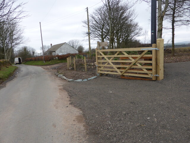
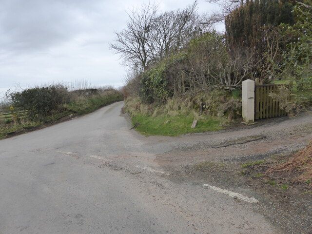
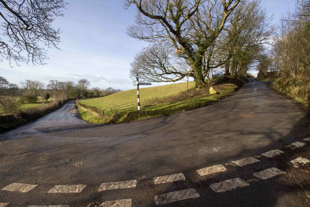
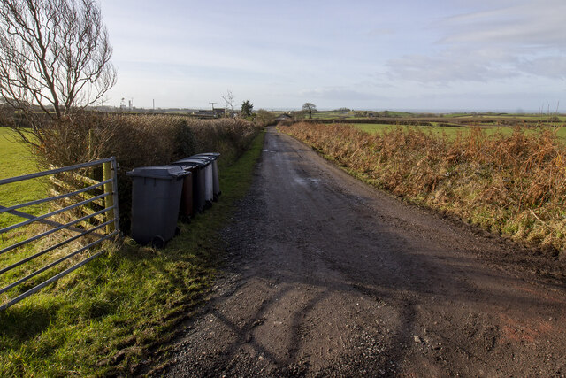
High Wood Images
Images are sourced within 2km of 54.450345/-3.4739264 or Grid Reference NY0407. Thanks to Geograph Open Source API. All images are credited.


High Wood is located at Grid Ref: NY0407 (Lat: 54.450345, Lng: -3.4739264)
Administrative County: Cumbria
District: Copeland
Police Authority: Cumbria
What 3 Words
///pythons.shippers.judge. Near Egremont, Cumbria
Nearby Locations
Related Wikis

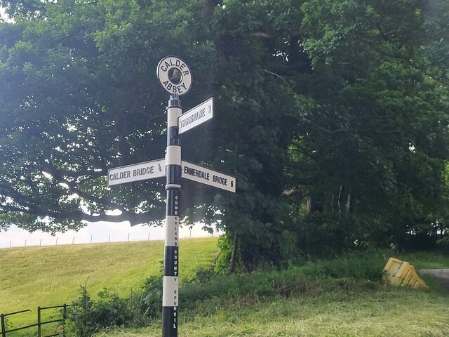
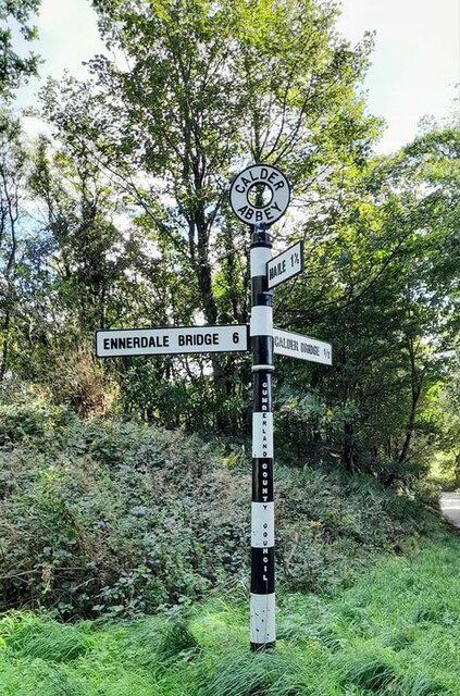
Calder Abbey
Calder Abbey in Cumbria was a Savigniac monastery founded in 1134 by Ranulph de Gernon, 2nd Earl of Chester, and moved to this site following a refoundation...
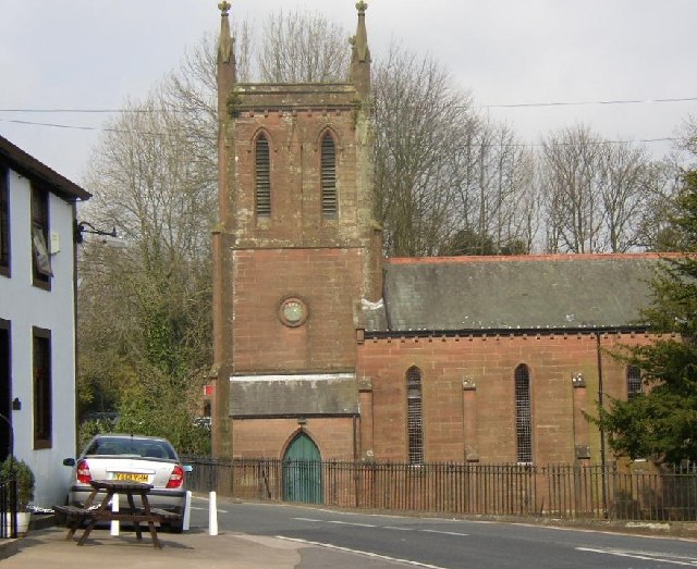
St Bridget's Church, Calder Bridge
St Bridget's Church is on the north side of the A595 road in the village of Calder Bridge, near Beckermet, Cumbria, England. It is an active Anglican parish...

Calder Bridge
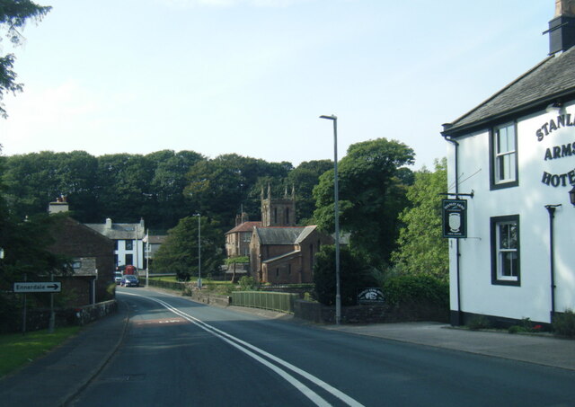
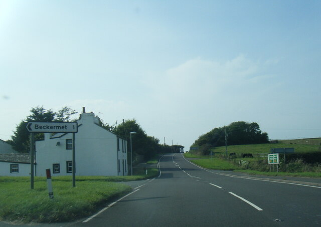
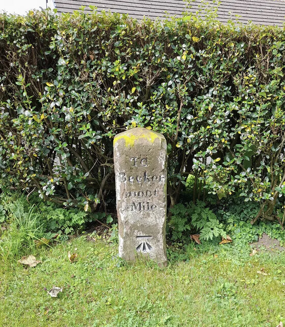
Calder Bridge (also Calderbridge) is a small village in Cumbria in England. It is located between the hamlets of Gosforth and Beckermet and lies on the...
Blackbeck
Blackbeck is a small village in Cumbria, England. It is northeast of Beckermet and Sellafield, along the A595 road. It contains the Blackbeck Inn and Brow...

Haile, Cumbria
Haile is a small village and civil parish in Copeland district, in the county of Cumbria, England. It had a population of 617 at the 2011 Census.Nearby...
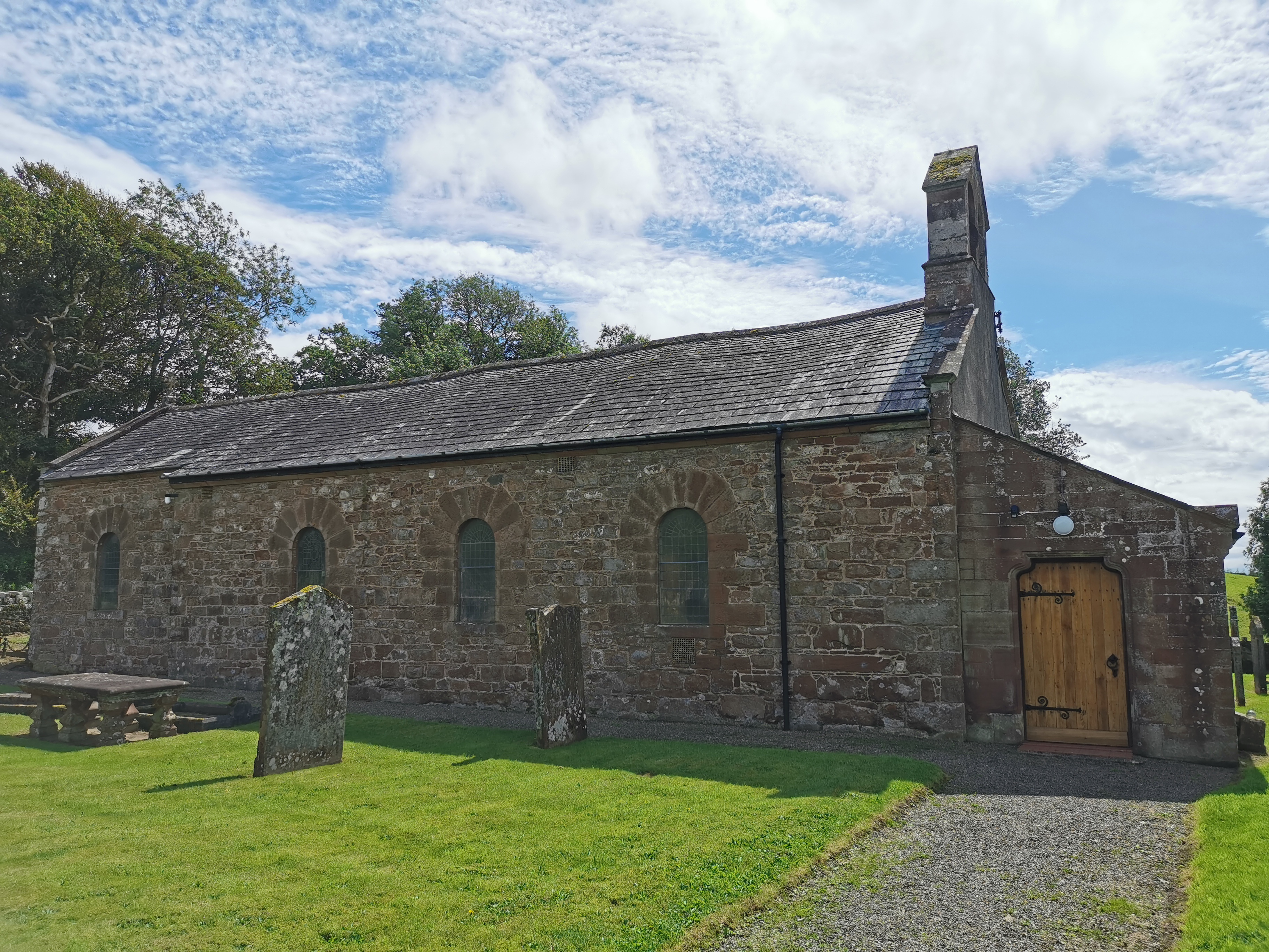
Haile Parish Church
Haile Parish Church is near Haile, Cumbria, England. It is an active Anglican parish church in the deanery of Calder, and the diocese of Carlisle. Its...

Ponsonby, Cumbria
Ponsonby is a village and civil parish in the Borough of Copeland of the county of Cumbria, England. Ponsonby has a church which was constructed in 1840...
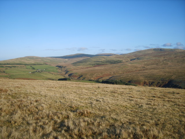
Cold Fell (Calder Bridge)
Cold Fell is a hill in the west of the English Lake District. It is easily climbed from the road between Ennerdale Bridge and Calder Bridge. This road...
Nearby Amenities
Located within 500m of 54.450345,-3.4739264Have you been to High Wood?
Leave your review of High Wood below (or comments, questions and feedback).