Clay Common

Settlement in Suffolk East Suffolk

England

Clay Common

Church of All Saints, Frostenden <span class="nowrap"><a title="https://historicengland.org.uk/listing/the-list/list-entry/1032170?section=official-list-entry" rel="nofollow ugc noopener" href="https://historicengland.org.uk/listing/the-list/list-entry/1032170?section=official-list-entry">Link</a><img style="margin-left:2px;" alt="External link" title="External link - shift click to open in new window" src="https://s1.geograph.org.uk/img/external.png" width="10" height="10"/></span>
Church of All Saints, Frostenden Credit: Sandy Gerrard

Clay Common is a small village located in the county of Suffolk, England. Situated in the eastern part of the country, it is nestled amidst the picturesque countryside that characterizes the region. The village is known for its tranquil and idyllic setting, providing a peaceful escape from the hustle and bustle of city life.

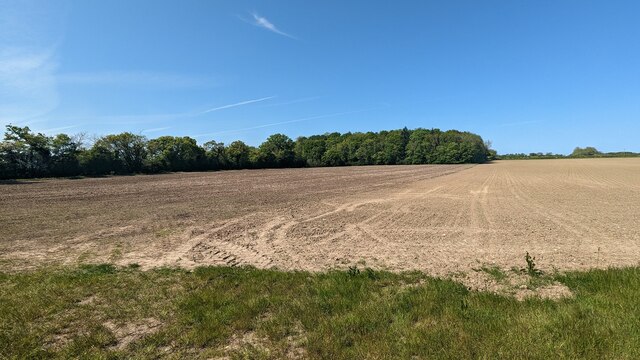
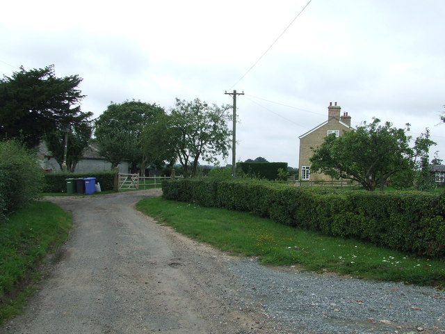
The village of Clay Common is home to a close-knit community, with a population of around 300 residents. It boasts a charming and traditional English atmosphere, with its quaint cottages, well-maintained gardens, and narrow winding lanes. The village is surrounded by lush green fields and rolling hills, offering breathtaking views of the surrounding countryside.

Despite its small size, Clay Common is well-equipped with essential amenities. It has a local pub, which serves as a social hub for the villagers, where they can enjoy a pint of locally brewed ale and engage in friendly conversation. There is also a village hall that hosts various community events and gatherings throughout the year.

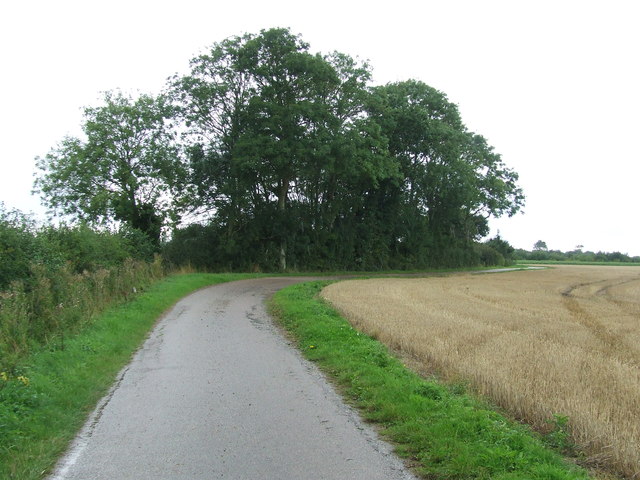
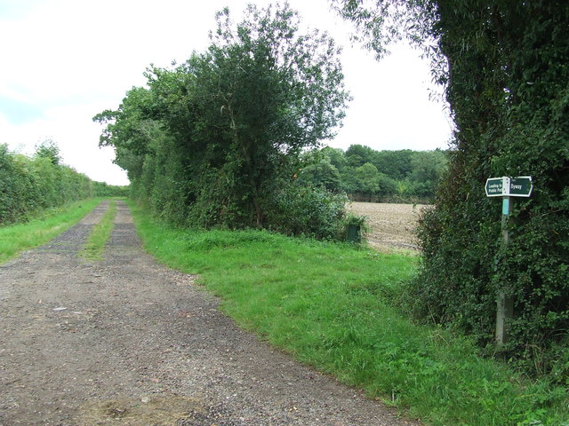
For outdoor enthusiasts, Clay Common offers ample opportunities for walking, cycling, and exploring the countryside. The village is situated close to several nature reserves and country parks, providing numerous trails and paths to be explored. It is also conveniently located near the coast, allowing residents to enjoy the sandy beaches and coastal walks that Suffolk is renowned for.

In summary, Clay Common is a charming village that offers a peaceful and picturesque setting, with its quaint cottages, beautiful countryside, and close-knit community. It is an ideal place for those seeking a tranquil retreat away from the city, while still having access to essential amenities and outdoor activities.

If you have any feedback on the listing, please let us know in the comments section below.
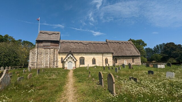
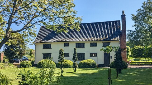
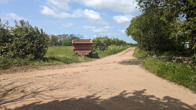
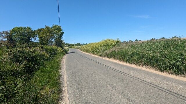
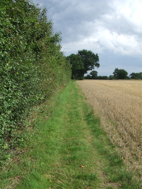
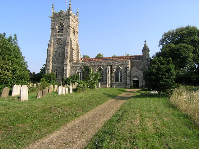
Clay Common Images

Images are sourced within 2km of 52.371383/1.629251 or Grid Reference TM4781. Thanks to Geograph Open Source API. All images are credited.

Church of All Saints, Frostenden <span class="nowrap"><a title="https://historicengland.org.uk/listing/the-list/list-entry/1032170?section=official-list-entry" rel="nofollow ugc noopener" href="https://historicengland.org.uk/listing/the-list/list-entry/1032170?section=official-list-entry">Link</a><img style="margin-left:2px;" alt="External link" title="External link - shift click to open in new window" src="https://s1.geograph.org.uk/img/external.png" width="10" height="10"/></span>
Church of All Saints, Frostenden
Church of St. Mary, Uggeshall <span class="nowrap"><a title="https://historicengland.org.uk/listing/the-list/list-entry/1284129?section=official-list-entry" rel="nofollow ugc noopener" href="https://historicengland.org.uk/listing/the-list/list-entry/1284129?section=official-list-entry">Link</a><img style="margin-left:2px;" alt="External link" title="External link - shift click to open in new window" src="https://s1.geograph.org.uk/img/external.png" width="10" height="10"/></span>
Church of St. Mary, Uggeshall
Goughs, Frostenden <span class="nowrap"><a title="https://historicengland.org.uk/listing/the-list/list-entry/1352547?section=official-list-entry" rel="nofollow ugc noopener" href="https://historicengland.org.uk/listing/the-list/list-entry/1352547?section=official-list-entry">Link</a><img style="margin-left:2px;" alt="External link" title="External link - shift click to open in new window" src="https://s1.geograph.org.uk/img/external.png" width="10" height="10"/></span>
Goughs, Frostenden
Waiting for Life to Emerge Large field near Frostenden Hall.
Waiting for Life to Emerge
Large field near Frostenden Hall.
Green Lane at the Primrose Lane Junction
Fox at Block's Lane, Stoven
Road from Wangford to Uggeshall
Blomfield Wood
Blomfield Wood
Old Post Office at Wangford <span class="nowrap"><a title="https://historicengland.org.uk/listing/the-list/list-entry/1182410?section=official-list-entry" rel="nofollow ugc noopener" href="https://historicengland.org.uk/listing/the-list/list-entry/1182410?section=official-list-entry">Link</a><img style="margin-left:2px;" alt="External link" title="External link - shift click to open in new window" src="https://s1.geograph.org.uk/img/external.png" width="10" height="10"/></span>
Old Post Office at Wangford
Maltings at Elms Farm <span class="nowrap"><a title="https://historicengland.org.uk/listing/the-list/list-entry/1352534?section=official-list-entry" rel="nofollow ugc noopener" href="https://historicengland.org.uk/listing/the-list/list-entry/1352534?section=official-list-entry">Link</a><img style="margin-left:2px;" alt="External link" title="External link - shift click to open in new window" src="https://s1.geograph.org.uk/img/external.png" width="10" height="10"/></span>
Maltings at Elms Farm
Brick Kiln Farm Brick Kiln Farm near to Clay Common, Suffolk.
Brick Kiln Farm
Brick Kiln Farm near to Clay Common, Suffolk.
Track Footpath and farm track near to Clay Common, Suffolk.
Track
Footpath and farm track near to Clay Common, Suffolk.
Footpath Junction Footpath junction on Green Lane and Primrose lane near to Clay Common, Suffolk.
Footpath Junction
Footpath junction on Green Lane and Primrose lane near to Clay Common, Suffolk.
Footpath Footpath looking east near to Stoven, Suffolk.
Footpath
Footpath looking east near to Stoven, Suffolk.
Open Gate Open gate near to Stoven, Suffolk.
Open Gate
Open gate near to Stoven, Suffolk.
St Mary Uggeshall The church of St Mary Uggeshall, Suffolk for more info see <span class="nowrap"><a title="http://www.suffolkchurches.co.uk/uggeshall.htm" rel="nofollow ugc noopener" href="http://www.suffolkchurches.co.uk/uggeshall.htm">Link</a><img style="margin-left:2px;" alt="External link" title="External link - shift click to open in new window" src="https://s1.geograph.org.uk/img/external.png" width="10" height="10"/></span>
St Mary Uggeshall
The church of St Mary Uggeshall, Suffolk for more info see LinkExternal link
Primrose Lane Junction off Primrose Lane near to Clay Common, Suffolk.
Primrose Lane
Junction off Primrose Lane near to Clay Common, Suffolk.
Footpath Footpath near to Frostenden, Suffolk.
Footpath
Footpath near to Frostenden, Suffolk.
Show me another place!

Clay Common is located at Grid Ref: TM4781 (Lat: 52.371383, Lng: 1.629251)

Administrative County: Suffolk

District: East Suffolk

Police Authority: Suffolk

What 3 Words

///condensed.soaps.purchaser. Near Southwold, Suffolk

Related Wikis

Frostenden

Frostenden is a village and civil parish in the East Suffolk district of the English county of Suffolk. It is around 8 miles (13 km) south-west of Lowestoft...

Wangford

Wangford is a village and former civil parish, now in the parish of Wangford with Henham, in the East Suffolk district, in the county of Suffolk, England...

Wangford Priory

The Cluniac Priory of Wangford was a small religious house in Wangford in the English county of Suffolk. It was founded before 1159 as a dependency of...

Reydon Wood

Reydon Wood is a 16 hectare nature reserve west of Wangford in Suffolk, England. It is managed by the Suffolk Wildlife Trust.This conifer wood has many...

Stoven

Stoven is a village and former civil parish now in the parish of Brampton with Stoven, in the East Suffolk district of the English county of Suffolk. It...

Wangford with Henham

Wangford with Henham is a civil parish in the East Suffolk district of the English county of Suffolk. It is around 5.5 miles (8.9 km) east of Halesworth...

Uggeshall

Uggeshall is a village and civil parish in the East Suffolk district, in the county of Suffolk, England, located approximately 6 miles (10 km) south of...

South Cove, Suffolk

South Cove is a civil parish in the east of the English county of Suffolk. It is 3 miles (4.8 km) north of the coastal town of Southwold and 1 mile (1...

Nearby Amenities

Located within 500m of 52.371383,1.629251
The data included in this document is from www.openstreetmap.org. The data is made available under ODbL.

Have you been to Clay Common?

Leave your review of Clay Common below (or comments, questions and feedback).