Blankets Brake

Wood, Forest in Devon East Devon

England

Blankets Brake

Aylesbeare Common Trig Point Flush Bracket S3901
Aylesbeare Common Trig Point Flush Bracket S3901 Credit: thejackrustles

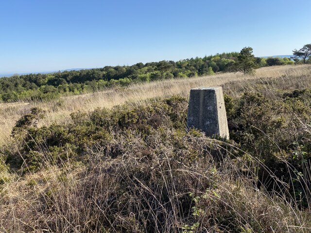
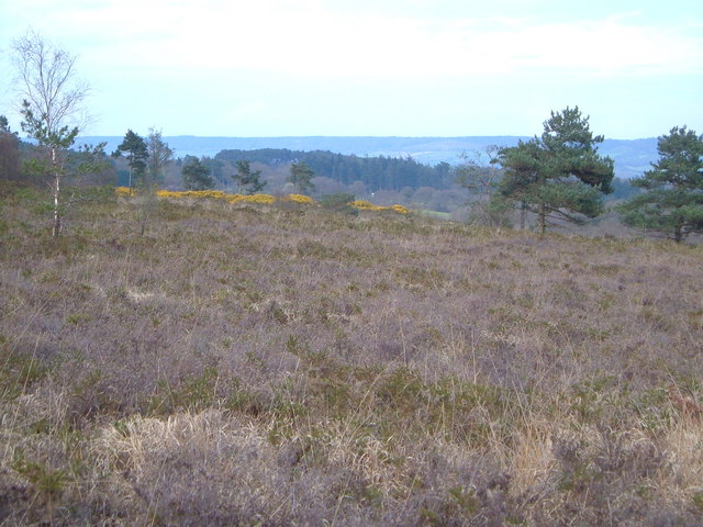
Blankets Brake is a picturesque woodland area located in the county of Devon, England. Nestled within the beautiful landscape of Dartmoor National Park, it is a popular destination for nature lovers and outdoor enthusiasts. The site is predominantly covered in dense woodlands, offering a peaceful and serene atmosphere for visitors to enjoy.

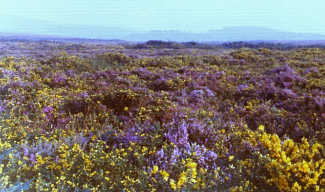
The woodland consists primarily of a mix of deciduous and coniferous trees, creating a diverse habitat for various flora and fauna. The canopy of the trees provides shade and shelter, while the forest floor is adorned with a carpet of mosses, ferns, and wildflowers. This rich biodiversity attracts a wide range of bird species, making Blankets Brake a haven for birdwatchers.

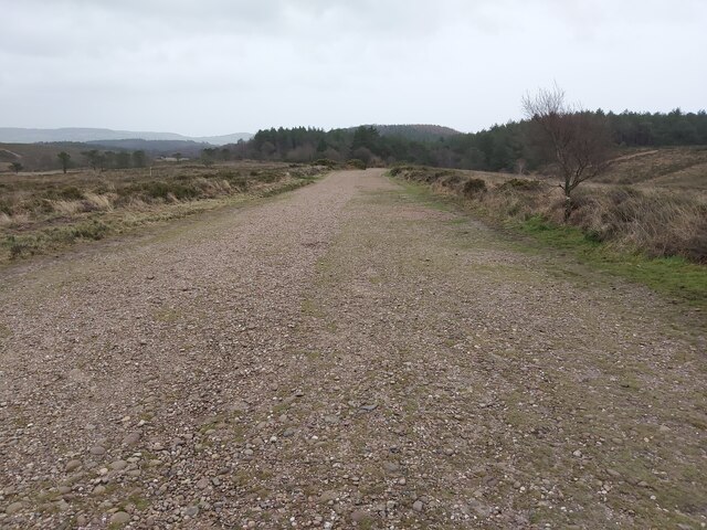
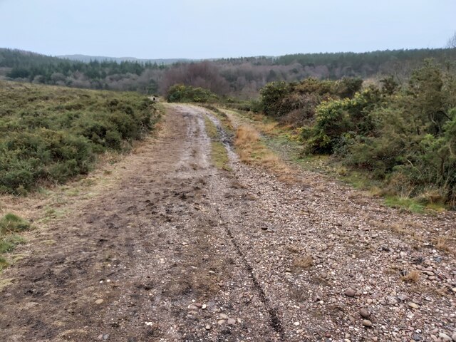
Traversing through Blankets Brake, visitors will find a network of well-maintained footpaths and trails, allowing for leisurely walks and hikes. The paths wind through the trees, leading to hidden clearings and enchanting viewpoints. Along the way, one may come across babbling brooks and small streams, adding to the charm of the woodlands.

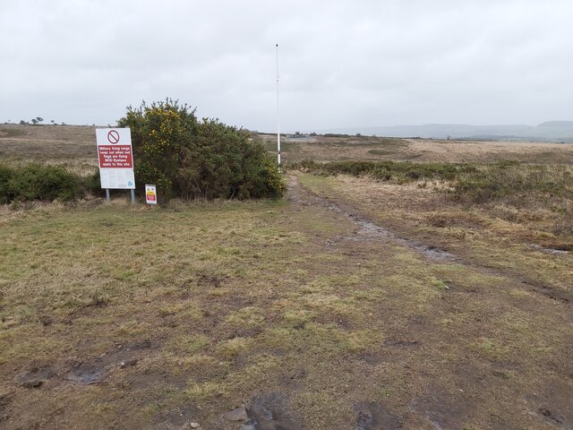
The site also offers opportunities for outdoor activities such as camping, picnicking, and wildlife spotting. Blankets Brake is known for its tranquil ambiance, making it an ideal spot for those seeking solace in nature. Whether it's a family outing, a romantic stroll, or a solo adventure, this woodland provides a serene escape from the hustle and bustle of everyday life.

Visitors are advised to respect the natural environment and adhere to any guidelines or restrictions in place to preserve the beauty and integrity of Blankets Brake.

If you have any feedback on the listing, please let us know in the comments section below.

Blankets Brake Images

Images are sourced within 2km of 50.690608/-3.3562957 or Grid Reference SY0488. Thanks to Geograph Open Source API. All images are credited.

Aylesbeare Common Trig Point Flush Bracket S3901
Old Boundary Marker on the B3180 on Woodbury Common Parish Boundary Marker on the southeast side of the B3180 on Woodbury Common. On the boundary of Woodbury and Colaton Raleigh parishes. The reverse is inscribed for Woodbury Parish. See also <a title="https://www.geograph.org.uk/photo/2343381" href="https://www.geograph.org.uk/photo/2343381">Link</a>.

Milestone Society National ID: DV_EMAY04pb
Old Boundary Marker on the B3180 on Woodbury Common
Parish Boundary Marker on the southeast side of the B3180 on Woodbury Common. On the boundary of Woodbury and Colaton Raleigh parishes. The reverse is inscribed for Woodbury Parish. See also Link. Milestone Society National ID: DV_EMAY04pb
Woodbury Common Trig Point Flush Bracket S3754
Nature reserve track
Easy Devon Way Sign
Easy Devon Way Sign
Aylesbeare Common RSPB Sign
Woodbury : Woodbury Park Chalets for overnight accommodation.
Woodbury : Woodbury Park
Chalets for overnight accommodation.
Field east of Colaton Raleigh Common Looking towards the village of Colaton Raleigh and the valley of the River Otter
Field east of Colaton Raleigh Common
Looking towards the village of Colaton Raleigh and the valley of the River Otter
Signpost at Hawkerland Cross
Track across the Common A wide track across Woodbury Common in Devon with Uphams Plantation visible in the background.
Track across the Common
A wide track across Woodbury Common in Devon with Uphams Plantation visible in the background.
Track across the Common A wide track across Colaton Raleigh Common in Devon with Uphams Plantation visible in the background.
Track across the Common
A wide track across Colaton Raleigh Common in Devon with Uphams Plantation visible in the background.
Entrance to a Heathland Danger Area Entrance to a heathland Danger Area on Colaton Raleigh Common in Devon. When the red flags are flying there is no public access.
Entrance to a Heathland Danger Area
Entrance to a heathland Danger Area on Colaton Raleigh Common in Devon. When the red flags are flying there is no public access.
Heathland Car Park The Warren car park from the B3180 situated on the northern side of Colaton Raleigh Common in Devon.
Heathland Car Park
The Warren car park from the B3180 situated on the northern side of Colaton Raleigh Common in Devon.
The East Devon Way at Woodbury Castle Car Park A 40 mile route that starts at Exmouth and follows the estuary of the River Exe to Lympstone and then turns east over the commons and rolling hills of the East Devon AONB via Harpford, Sidbury, Farway and Colyton to Lyme Regis. It covers a wide variety of landscapes; estuary, high open commons, woodlands and quiet river valleys. Walking is generally not difficult but the route does include some quite sharp climbs.
The East Devon Way at Woodbury Castle Car Park
A 40 mile route that starts at Exmouth and follows the estuary of the River Exe to Lympstone and then turns east over the commons and rolling hills of the East Devon AONB via Harpford, Sidbury, Farway and Colyton to Lyme Regis. It covers a wide variety of landscapes; estuary, high open commons, woodlands and quiet river valleys. Walking is generally not difficult but the route does include some quite sharp climbs.
Woodbury Castle Iron Age Fort
Scots pine on Woodbury Common The East Devon Way crossing an area of Pebblebed Heath. The gravel path is derived from the underlying Triassic sandstone 'pebble' beds.
Scots pine on Woodbury Common
The East Devon Way crossing an area of Pebblebed Heath. The gravel path is derived from the underlying Triassic sandstone 'pebble' beds.
The northern edge of Colaton Raleigh Common The Common to the right is used as a training ground for the Royal Marines
The northern edge of Colaton Raleigh Common
The Common to the right is used as a training ground for the Royal Marines
The East Devon Way in the north-east corner of Colaton Raleigh Common Looking over towards the valley of the River Otter
The East Devon Way in the north-east corner of Colaton Raleigh Common
Looking over towards the valley of the River Otter
Show me another place!

Blankets Brake is located at Grid Ref: SY0488 (Lat: 50.690608, Lng: -3.3562957)

Administrative County: Devon

District: East Devon

Police Authority: Devon and Cornwall

What 3 Words

///maps.fine.retailing. Near Woodbury, Devon

Nearby Locations

Blankets Brake

Related Wikis

Woodbury Castle

Woodbury Castle is an Iron Age hillfort near the village of Woodbury in the English county of Devon, some eight miles southeast of the city of Exeter....

Aylesbeare Common

Aylesbeare Common is a protected area in Devon, England. It is composed largely of heathland and woodland, interspersed with a few streams and ponds....

Woodbury Common, Devon

Woodbury Common in East Devon, England is an area of common land that is predominantly heathland adjacent to the village of Woodbury. It is bordered to...

Nutwalls

Nutwalls is a hamlet in Devon, England. It is located 9 miles (14 km) south-east of Exeter, close to Aylesbeare. Two cottages built in the 18th century...

Fire Beacon Hill

Fire Beacon Hill is a Local Nature Reserve in East Devon, England. It is registered as Common land and known as Harpford Common. Sidmouth Town Council...

Woodbury Salterton

Woodbury Salterton is a village 6 miles (9.7 km) from Exeter, in the civil parish of Woodbury, in the East Devon district, in the county of Devon, England...

Bicton, Devon

Bicton is a civil parish and a former manor in the East Devon district of Devon, England, near the town of Budleigh Salterton. The parish is surrounded...

Aylesbeare

Aylesbeare is a village and civil parish in the East Devon district of Devon, England, 8 miles (13 km) east of Exeter. According to the 2001 census the...

Nearby Amenities

Located within 500m of 50.690608,-3.3562957
Cafe
Woodland Tea House
Lat/Long: 50.689804/-3.3563983
8th
Golf: pin
Lat/Long: 50.6890393/-3.3616716
The data included in this document is from www.openstreetmap.org. The data is made available under ODbL.

Have you been to Blankets Brake?

Leave your review of Blankets Brake below (or comments, questions and feedback).