Claxton
Settlement in Norfolk South Norfolk
England
Claxton
The requested URL returned error: 429 Too Many Requests
If you have any feedback on the listing, please let us know in the comments section below.
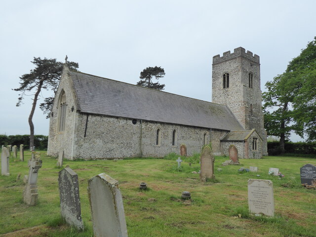
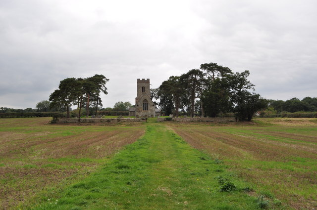
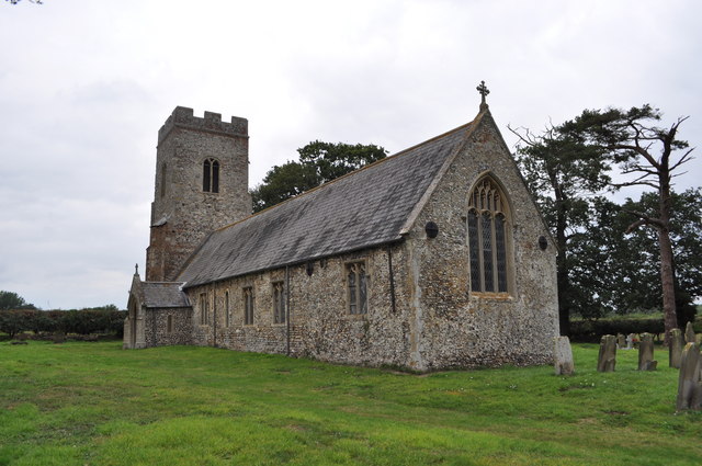
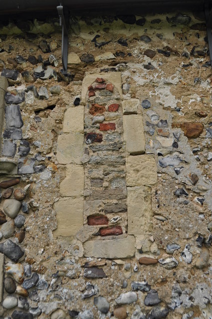
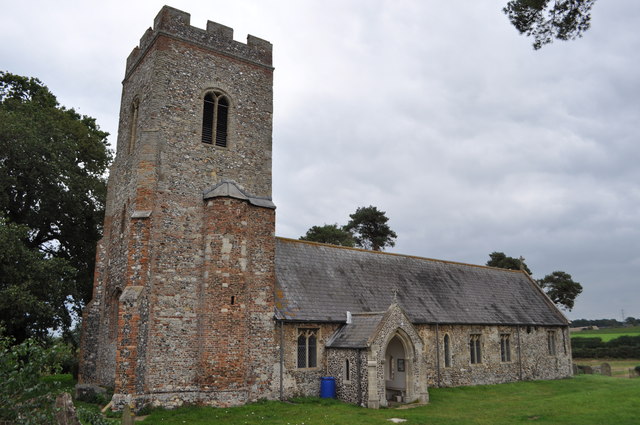
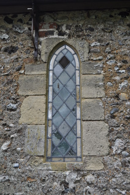
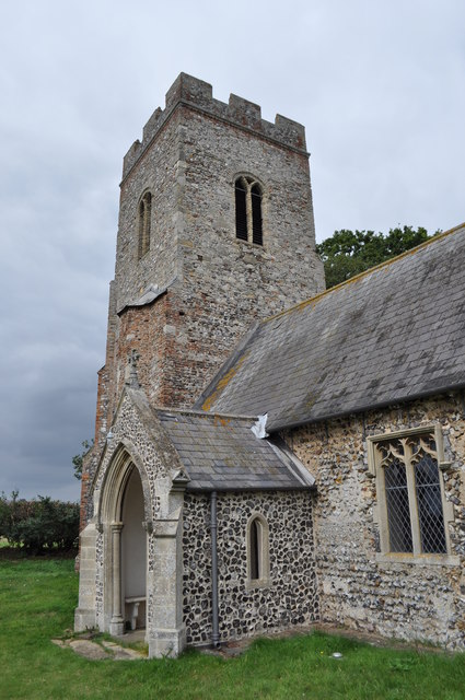
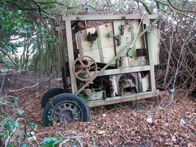
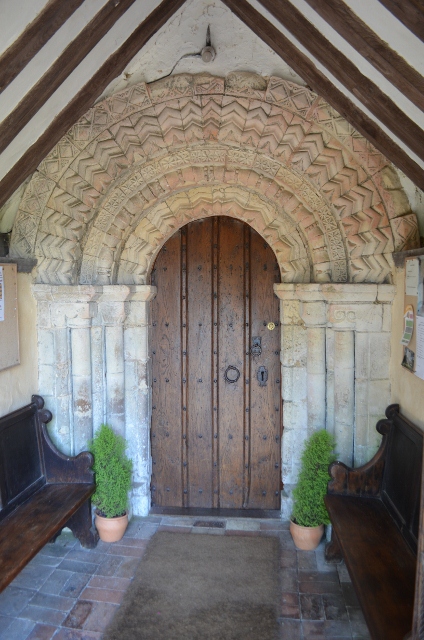
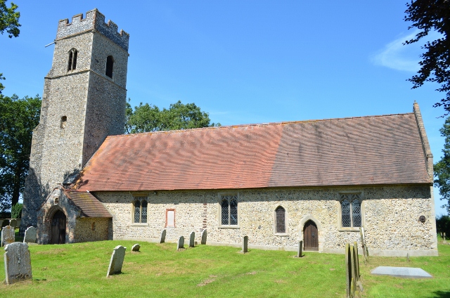
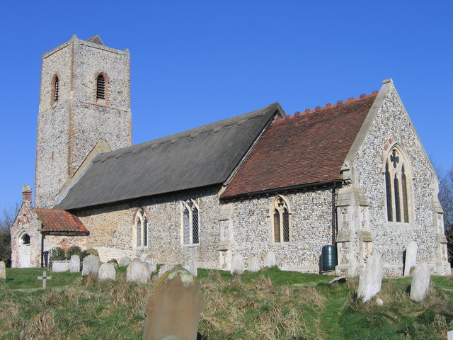
Claxton Images
Images are sourced within 2km of 52.578465/1.452164 or Grid Reference TG3303. Thanks to Geograph Open Source API. All images are credited.


Claxton is located at Grid Ref: TG3303 (Lat: 52.578465, Lng: 1.452164)
Administrative County: Norfolk
District: South Norfolk
Police Authority: Norfolk
What 3 Words
///bids.duties.printing. Near Brundall, Norfolk
Nearby Locations
Related Wikis
Claxton, Norfolk
Claxton is a small village 8.5 miles (13.7 km) south-east of Norwich, and south of the River Yare, between Rockland St. Mary and Loddon in South Norfolk...

Claxton Castle
Claxton Castle in the village of Claxton, Norfolk, is a ruined brick castle some 13 km southeast of Norwich. == Details == Sir William de Kerdeston and...

Ducan's Marsh
Ducan's Marsh is a 3.6-hectare (8.9-acre) biological Site of Special Scientific Interest north-east of Loddon in Norfolk. It is part of the Broadland Ramsar...

Carleton St Peter
Carleton St Peter is a hamlet and civil parish in South Norfolk approximately 8+1⁄2 miles (13.7 km) south-east of Norwich. There is no village centre but...
Nearby Amenities
Located within 500m of 52.578465,1.452164Have you been to Claxton?
Leave your review of Claxton below (or comments, questions and feedback).