Clitsome Wood
Wood, Forest in Somerset Somerset West and Taunton
England
Clitsome Wood
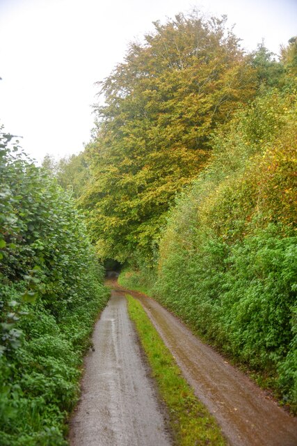
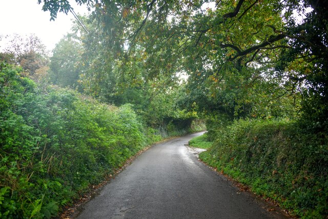
Clitsome Wood is a charming woodland located in Somerset, England. Situated near the village of Clitsome, it covers an area of approximately 100 hectares. This ancient forest boasts a rich history dating back centuries and offers a tranquil escape for nature enthusiasts and walkers alike.
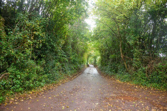
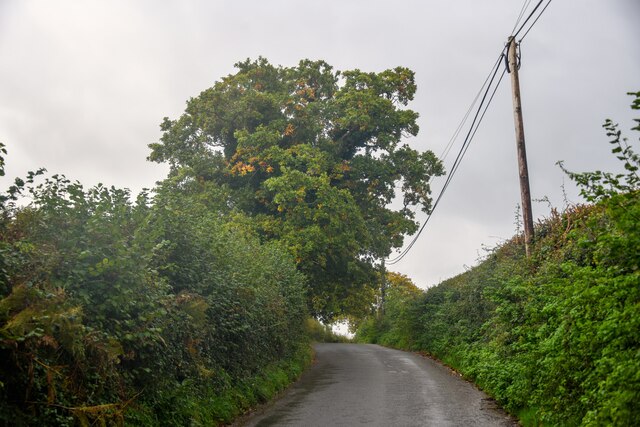
The woodland is predominantly composed of broadleaf trees, including oak, beech, and ash, which create a dense canopy overhead. These towering trees provide a habitat for a diverse range of wildlife, including deer, badgers, squirrels, and a variety of bird species. The forest floor is adorned with a carpet of wildflowers and ferns, adding to the enchanting atmosphere.
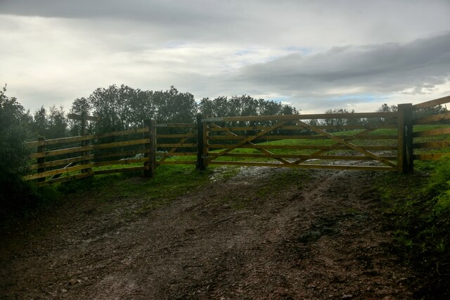
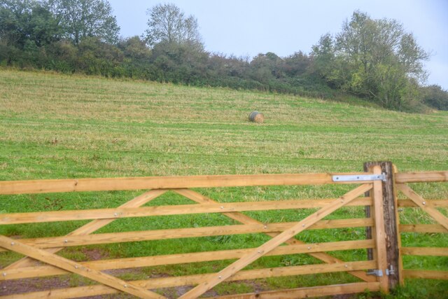
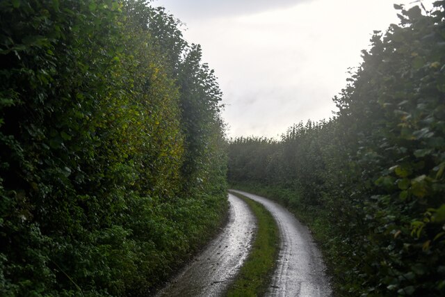
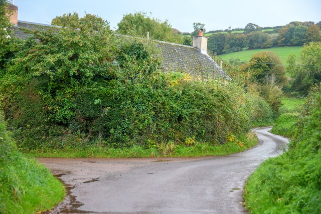
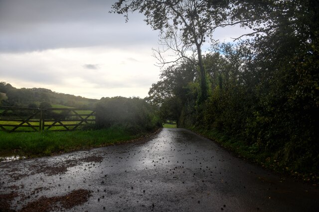
Several walking trails wind their way through Clitsome Wood, allowing visitors to explore its natural beauty. The paths are well-maintained and offer stunning views of the surrounding countryside. Along the way, hikers may come across a babbling stream or stumble upon a hidden glade, adding to the sense of discovery.
Clitsome Wood is also renowned for its historical significance. The area has evidence of human habitation dating back to the Bronze Age, and remnants of ancient settlements and burial mounds can still be found within the woodland. These archaeological sites provide a glimpse into the lives of our ancestors and add an extra layer of intrigue to the forest's allure.
Whether it's for a leisurely stroll, birdwatching, or exploring the remnants of the past, Clitsome Wood offers a serene and captivating experience for all who visit. With its natural beauty and historical significance, it has become a beloved destination for nature lovers and history enthusiasts alike.
If you have any feedback on the listing, please let us know in the comments section below.
Clitsome Wood Images
Images are sourced within 2km of 51.141522/-3.377648 or Grid Reference ST0338. Thanks to Geograph Open Source API. All images are credited.

Clitsome Wood is located at Grid Ref: ST0338 (Lat: 51.141522, Lng: -3.377648)
Administrative County: Somerset
District: Somerset West and Taunton
Police Authority: Avon and Somerset
What 3 Words
///warm.disco.increment. Near Williton, Somerset
Nearby Locations
Related Wikis

Clitsome railway station
Clitsome was a recognised stopping place, not a formal station, on the West Somerset Mineral Railway (WSMR). The railway's prime purpose was to carry iron...

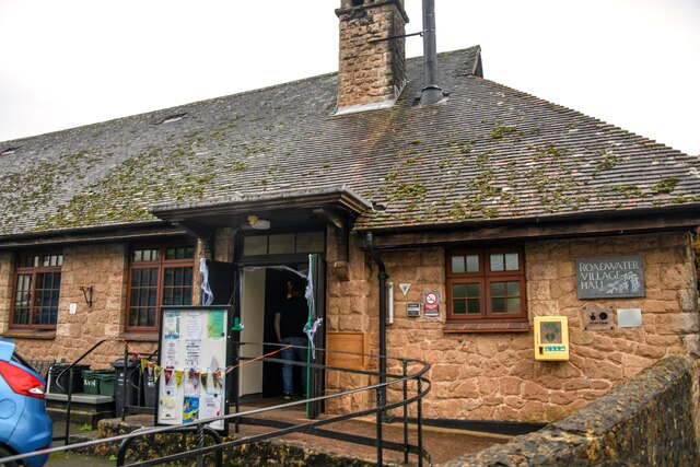
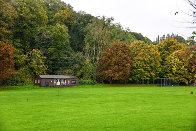
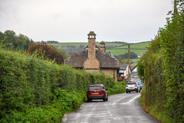
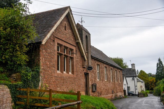
Roadwater
Roadwater is a village 3 miles (5 km) south-west of Williton, on the northern edge of the Exmoor National Park, in Somerset, England. == History == The...
Roadwater railway station
The Roadwater railway station was an intermediate station on the West Somerset Mineral Railway (WSMR), which was built primarily to carry iron ore from...
Torre (WSMR) railway station
Torre was a recognised stopping place, not a formal station, on the West Somerset Mineral Railway (WSMR). The railway's prime purpose was to carry iron...

Cleeve Abbey
Cleeve Abbey is a medieval monastery located near the village of Washford, in Somerset, England. It is a Grade I listed building and has been scheduled...

Nettlecombe Court
Nettlecombe Court and park is an old estate on the northern fringes of the Brendon Hills, within the Exmoor National Park. They are within the civil parish...
Nettlecombe, Somerset
Nettlecombe is a civil parish in the English county of Somerset. The parish covers a rural area below the Brendon Hills, comprising the small hamlets of...

Washford railway station
Washford railway station is a station on the West Somerset Railway, a heritage railway in England. The station is situated in the village of Washford...
Nearby Amenities
Located within 500m of 51.141522,-3.377648Have you been to Clitsome Wood?
Leave your review of Clitsome Wood below (or comments, questions and feedback).