Eastern Wood

Wood, Forest in Somerset Somerset West and Taunton

England

Eastern Wood

Naked Boy's Stone A Grade II Listed mediaeval boundary stone marking the boundary between the parishes of old Cleeve and Brompton Regis. There is limited parking here for the permissive path to Burrow Farm engine house along the West Somerset Mineral Railway.
Naked Boy's Stone Credit: Chris Allen

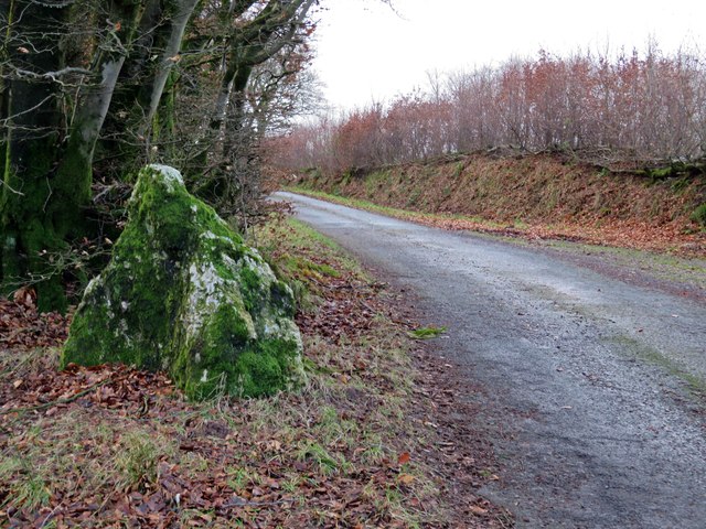
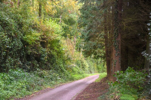
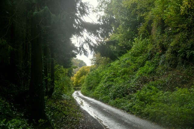
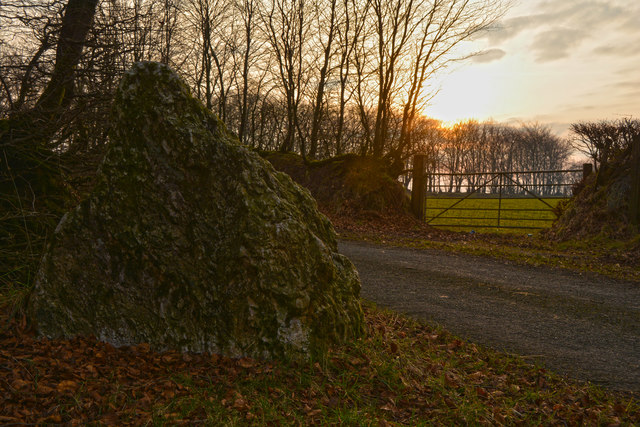
Eastern Wood, Somerset, also known as the Eastern Forest, is a picturesque woodland located in the county of Somerset, England. Covering an area of approximately 500 acres, this ancient forest is renowned for its diverse range of flora and fauna, making it a haven for nature enthusiasts and wildlife lovers.

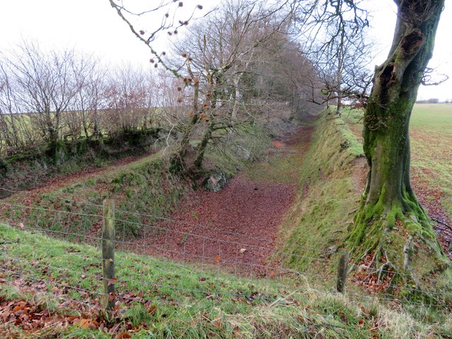
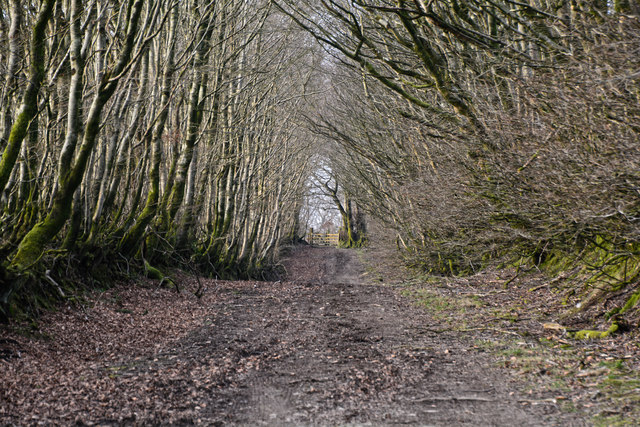
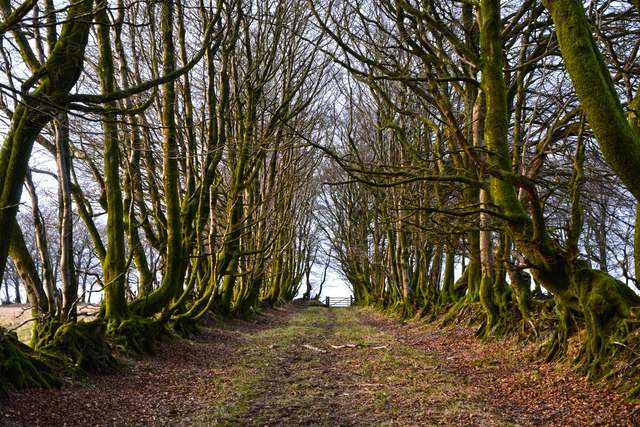
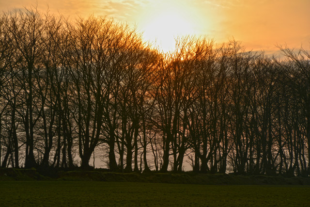
The woodland is predominantly made up of native deciduous trees, including oak, beech, and ash, which create a stunning display of colors during the autumn months. These leafy canopies provide a dense cover, allowing dappled sunlight to filter through, creating a tranquil and enchanting atmosphere.

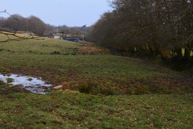
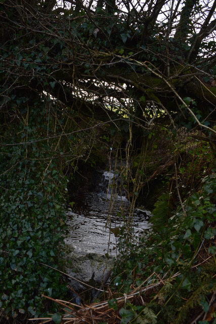
Eastern Wood is home to a wide variety of wildlife, including deer, badgers, foxes, and numerous species of birds. The forest floor is adorned with a carpet of wildflowers, such as bluebells and primroses, which bloom in abundance during the spring and early summer.

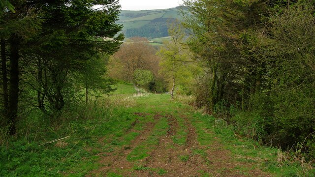
The wood is crisscrossed with a network of well-maintained footpaths, allowing visitors to explore the area on foot and enjoy the natural beauty that surrounds them. There are designated picnic areas and benches strategically placed throughout the woodland, providing visitors with opportunities to relax and immerse themselves in the peaceful surroundings.

Eastern Wood also plays an important role in the local ecosystem, acting as a natural habitat for many rare and endangered species. Conservation efforts are in place to protect and preserve the woodland, ensuring its long-term sustainability and continued enjoyment for generations to come.

Overall, Eastern Wood, Somerset, is a captivating and idyllic forest, offering a tranquil escape from the bustling modern world and providing a sanctuary for both nature and humans alike.

If you have any feedback on the listing, please let us know in the comments section below.
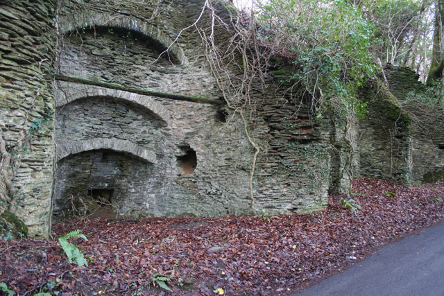
Eastern Wood Images

Images are sourced within 2km of 51.1055/-3.3843328 or Grid Reference ST0334. Thanks to Geograph Open Source API. All images are credited.

Naked Boy's Stone A Grade II Listed mediaeval boundary stone marking the boundary between the parishes of old Cleeve and Brompton Regis. There is limited parking here for the permissive path to Burrow Farm engine house along the West Somerset Mineral Railway.
Naked Boy's Stone
A Grade II Listed mediaeval boundary stone marking the boundary between the parishes of old Cleeve and Brompton Regis. There is limited parking here for the permissive path to Burrow Farm engine house along the West Somerset Mineral Railway.
West Somerset Mineral Railway A long disused railway seen from the infilled Naked Boy Bridge.
West Somerset Mineral Railway
A long disused railway seen from the infilled Naked Boy Bridge.
Comberow Incline A view down an incline of the West Somerset Mineral Railway below the winch house
Comberow Incline
A view down an incline of the West Somerset Mineral Railway below the winch house
Steps down to the Winch House The winding equipment was below the rail level on the West Somerset Mineral Railway at the top of Comberow Incline
Steps down to the Winch House
The winding equipment was below the rail level on the West Somerset Mineral Railway at the top of Comberow Incline
Old Cleve : Road A small country lane.
Old Cleve : Road
A small country lane.
Old Cleve : Road A road heads through the countryside.
Old Cleve : Road
A road heads through the countryside.
West Somerset : Muddy Track A muddy track heading through the countryside.
West Somerset : Muddy Track
A muddy track heading through the countryside.
West Somerset : Small Track A small track and footpath heading towards the B3224.
West Somerset : Small Track
A small track and footpath heading towards the B3224.
West Somerset : Naked Boy's Stone HE NAKED BOY, SMITHHAYES ST 015 345 is in the corner of a field at the junction of four parishes Line drawings of it, when it was still in one piece, show an oddly curved stone with a large base and smaller top roughly pyramid shaped. It name may come from its status as a boundary stone. Boys were sometimes whipped at the boundaries, so they would never forget them. Possibly they were placed naked on this stone. The Naked Boy goes down to drink at the Beverton pond, the source of the River Tone, at midnight. The Naked Boy, a bronze age standing stone by the roadside. It has been used to mark the point where four parishes meet - Treborough, Old Cleeve, Kings Brompton and Withiel Florey. Leather Barrow, a bronze age round barrow standing about 10 ft high on the line of the boundary of Luxborough and Treborough parishes and adjacent to the Brendon ridgeway.
West Somerset : Naked Boy's Stone
HE NAKED BOY, SMITHHAYES ST 015 345 is in the corner of a field at the junction of four parishes Line drawings of it, when it was still in one piece, show an oddly curved stone with a large base and smaller top roughly pyramid shaped. It name may come from its status as a boundary stone. Boys were sometimes whipped at the boundaries, so they would never forget them. Possibly they were placed naked on this stone. The Naked Boy goes down to drink at the Beverton pond, the source of the River Tone, at midnight. The Naked Boy, a bronze age standing stone by the roadside. It has been used to mark the point where four parishes meet - Treborough, Old Cleeve, Kings Brompton and Withiel Florey. Leather Barrow, a bronze age round barrow standing about 10 ft high on the line of the boundary of Luxborough and Treborough parishes and adjacent to the Brendon ridgeway.
West Somerset : Grassy Field & Trees The sun setting behind the trees.
West Somerset : Grassy Field & Trees
The sun setting behind the trees.
West Somerset : The B3190 A road heading through West Somerset.
West Somerset : The B3190
A road heading through West Somerset.
West Somerset : Grassy Field A grassy field near the source of the River Tone in West Somerset.
West Somerset : Grassy Field
A grassy field near the source of the River Tone in West Somerset.
West Somerset : The River Tone Near the source of the River Tone, the stream heads under the road and through the countryside.
West Somerset : The River Tone
Near the source of the River Tone, the stream heads under the road and through the countryside.
West Somerset : The B3190 Looking along the B3190 as it heads through West Somerset.
West Somerset : The B3190
Looking along the B3190 as it heads through West Somerset.
West Somerset : The B3190 A road heading through the West Somerset countryside.
West Somerset : The B3190
A road heading through the West Somerset countryside.
West Somerset : Grassy Field Looking across a grassy field in the West Somerset countryside.
West Somerset : Grassy Field
Looking across a grassy field in the West Somerset countryside.
West Somerset : The B3190 Looking along the B3190 as it heads through West Somerset.
West Somerset : The B3190
Looking along the B3190 as it heads through West Somerset.
West Somerset : Countryside Scenery Beverton Pond which is the source of the River Tone can be seen here.
West Somerset : Countryside Scenery
Beverton Pond which is the source of the River Tone can be seen here.
Show me another place!

Eastern Wood is located at Grid Ref: ST0334 (Lat: 51.1055, Lng: -3.3843328)

Administrative County: Somerset

District: Somerset West and Taunton

Police Authority: Avon and Somerset

What 3 Words

///calibrate.access.classed. Near Williton, Somerset

Nearby Locations

Clatworthy Eastern Wood

Related Wikis

Comberow railway station

Comberow was an intermediate station on the West Somerset Mineral Railway (WSMR), which was built primarily to carry iron ore from mines to Watchet harbour...

Brendon Hill railway station

Brendon Hill (occasionally referred to as "Raleigh's Cross") was an intermediate station on the West Somerset Mineral Railway (WSMR), which was built primarily...

Treborough

Treborough is a small village and civil parish 7 miles (11 km) south of Dunster, lying amongst the Brendon Hills within the Exmoor National Park in the...

St Peter's Church, Treborough

The Anglican St Peter's Church at Treborough within the English county of Somerset dates from the 14th century. It is a Grade II* listed building.Although...

Church of St Peter, Williton

The Anglican Church of St Peter in Williton in the English county of Somerset is recorded in the National Heritage List for England as a designated Grade...

Roadwater railway station

The Roadwater railway station was an intermediate station on the West Somerset Mineral Railway (WSMR), which was built primarily to carry iron ore from...

Roadwater

Roadwater is a village 3 miles (5 km) south-west of Williton, on the northern edge of the Exmoor National Park, in Somerset, England. == History == The...

Clatworthy Camp

Clatworthy Camp is an Iron Age hill fort 3 miles (4.8 km) North West of Wiveliscombe, Somerset, England. It has been scheduled as an Ancient Monument....

Have you been to Eastern Wood?

Leave your review of Eastern Wood below (or comments, questions and feedback).