Frizington Hall Wood

Wood, Forest in Cumberland Copeland

England

Frizington Hall Wood

Near site of Cleator Moor station, 1986 A view along the course of the former Cleator & Workington Junction line, which was built, along with various other lines, for transporting haematite iron ore from the rich mines in the area to the iron and steel works in the Workington and Harrington Districts. For 100 years from the 1860s this area, nowadays almost reclaimed by nature, had been heavily industrialised and honeycombed by railways: the remnants of spoil-heaps from the iron and coal mines can be seen on the horizon. Keekle Viaduct can also be seen in the extreme left background.
Near site of Cleator Moor station, 1986 Credit: Ben Brooksbank

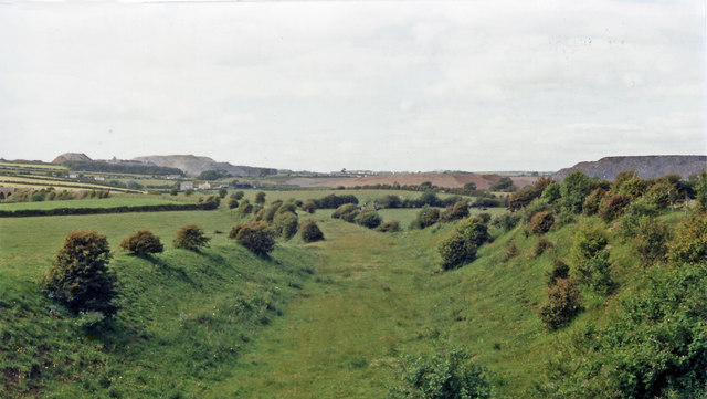
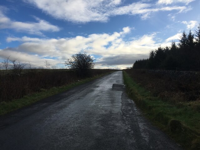
Frizington Hall Wood is a picturesque woodland located in Cumberland, England. Covering an area of approximately 50 acres, it is nestled in the heart of the county and offers a serene retreat for nature enthusiasts and outdoor lovers.

The woodland is characterized by its diverse range of trees, including oak, ash, birch, and beech. These towering giants create a dense canopy that provides shade and shelter to a variety of wildlife. The forest floor is adorned with a carpet of bluebells and other wildflowers, creating a stunning display during the springtime.

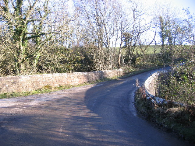
Frizington Hall Wood is crisscrossed by a network of well-maintained footpaths, making it an ideal spot for leisurely walks and hikes. The paths wind through the woodland, revealing hidden glades, babbling brooks, and peaceful ponds. Along the way, visitors may encounter a range of wildlife, such as deer, foxes, badgers, and a multitude of bird species.

The woodland also boasts a small picnic area, complete with benches and tables, where visitors can relax and enjoy the tranquility of their surroundings. Additionally, there are designated areas for camping and barbecues, allowing for longer stays and memorable outdoor experiences.

Frizington Hall Wood is not only a haven for nature lovers, but it also plays an important role in the local ecosystem. It supports a rich biodiversity and acts as a vital habitat for numerous plant and animal species.

Overall, Frizington Hall Wood is a captivating woodland that offers visitors a chance to immerse themselves in the beauty of nature. With its stunning scenery, abundant wildlife, and recreational facilities, it is a true gem in the heart of Cumberland.

If you have any feedback on the listing, please let us know in the comments section below.

Frizington Hall Wood Images

Images are sourced within 2km of 54.542069/-3.5186909 or Grid Reference NY0117. Thanks to Geograph Open Source API. All images are credited.

Near site of Cleator Moor station, 1986 A view along the course of the former Cleator & Workington Junction line, which was built, along with various other lines, for transporting haematite iron ore from the rich mines in the area to the iron and steel works in the Workington and Harrington Districts. For 100 years from the 1860s this area, nowadays almost reclaimed by nature, had been heavily industrialised and honeycombed by railways: the remnants of spoil-heaps from the iron and coal mines can be seen on the horizon. Keekle Viaduct can also be seen in the extreme left background.
Near site of Cleator Moor station, 1986
A view along the course of the former Cleator & Workington Junction line, which was built, along with various other lines, for transporting haematite iron ore from the rich mines in the area to the iron and steel works in the Workington and Harrington Districts. For 100 years from the 1860s this area, nowadays almost reclaimed by nature, had been heavily industrialised and honeycombed by railways: the remnants of spoil-heaps from the iron and coal mines can be seen on the horizon. Keekle Viaduct can also be seen in the extreme left background.
Old Keekle Bridge The Old Keekle Bridge is a packhorse bridge over the River Keekle and was restored in 1994.
Old Keekle Bridge
The Old Keekle Bridge is a packhorse bridge over the River Keekle and was restored in 1994.
Keekle Low Bridge Keekle Low Bridge carries the B5295 over the River Keekle
Keekle Low Bridge
Keekle Low Bridge carries the B5295 over the River Keekle
Keekle viaduct
Keekle viaduct
Minor road towards Frizington
Minor road at Steel Brow
Looking towards Frizington from the B5294 outside the old vicarage This is taken from just outside of where I live.
Looking towards Frizington from the B5294 outside the old vicarage
This is taken from just outside of where I live.
Bridge over the river keekle Sharp corners at both ends of the bridge must have meant this location is old such as when pack horse and carts were common transport.
Bridge over the river keekle
Sharp corners at both ends of the bridge must have meant this location is old such as when pack horse and carts were common transport.
Croft End Farm and Footpath Entrance Footpath sign has endured the recent storms but the farm sign is missing.
Croft End Farm and Footpath Entrance
Footpath sign has endured the recent storms but the farm sign is missing.
Acre Walls Farmland Acre Walls farm itself is in the Dark woods mid photo and the background is the western lake district mountains.
Acre Walls Farmland
Acre Walls farm itself is in the Dark woods mid photo and the background is the western lake district mountains.
Frizington Junior School. No they are not giant crayons they are fenceposts painted to look like crayons.
Frizington Junior School.
No they are not giant crayons they are fenceposts painted to look like crayons.
Main road left, no through road right, farm ahead. Men at work sign, hydrant post this junction is just oversigned.
Main road left, no through road right, farm ahead.
Men at work sign, hydrant post this junction is just oversigned.
Frizington Hall. An old building indeed.
Frizington Hall.
An old building indeed.
Dub Bridge. Quite a confusing area because the opencast mining has altered the ground.
Dub Bridge.
Quite a confusing area because the opencast mining has altered the ground.
Keekle Bank. An area of marsh untouched and an area mined by opencast methods.
Keekle Bank.
An area of marsh untouched and an area mined by opencast methods.
Wreah Junction looking South East. No it is not a spelling error it really is Wreah now pronounce that properly and in Cumbrian.
Wreah Junction looking South East.
No it is not a spelling error it really is Wreah now pronounce that properly and in Cumbrian.
Looking at the Frizington Cleator Moor Junction. Used as a short cut by many locals this side road gets very busy.
Looking at the Frizington Cleator Moor Junction.
Used as a short cut by many locals this side road gets very busy.
Show me another place!

Frizington Hall Wood is located at Grid Ref: NY0117 (Lat: 54.542069, Lng: -3.5186909)

Administrative County: Cumbria

District: Copeland

Police Authority: Cumbria

What 3 Words

///blown.agency.marinated. Near Frizington, Cumbria

Related Wikis

St Paul, Frizington

St Paul's is in Frizington, Cumbria, England. It is an active Anglican parish church in the deanery of Calder, and the diocese of Carlisle. Its benefice...

High Leys

High Leys is located to the south-east of Rowrah in Cumbria (map), along the C2C cycle route prior to Sheriffs Gate. The status of national nature reserve...
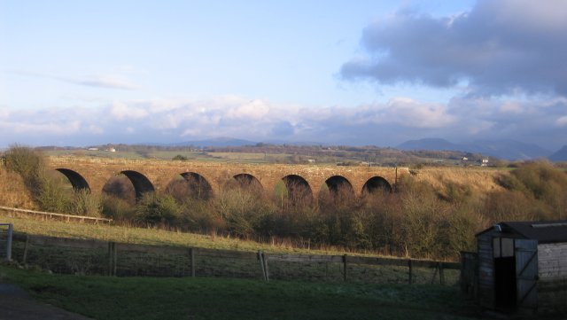
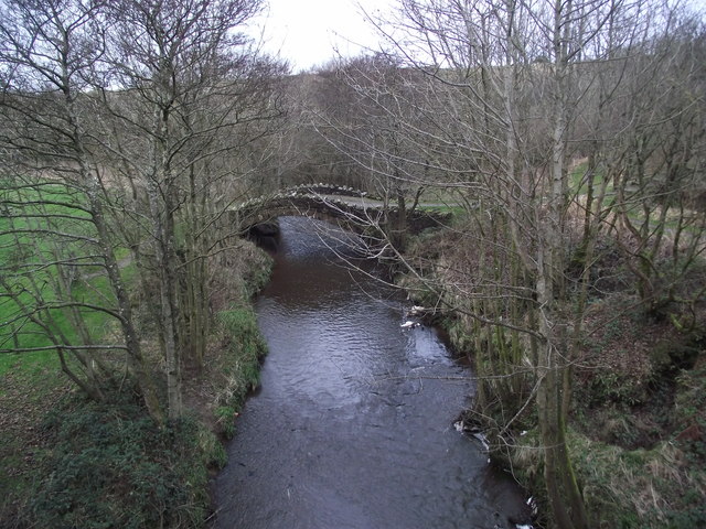
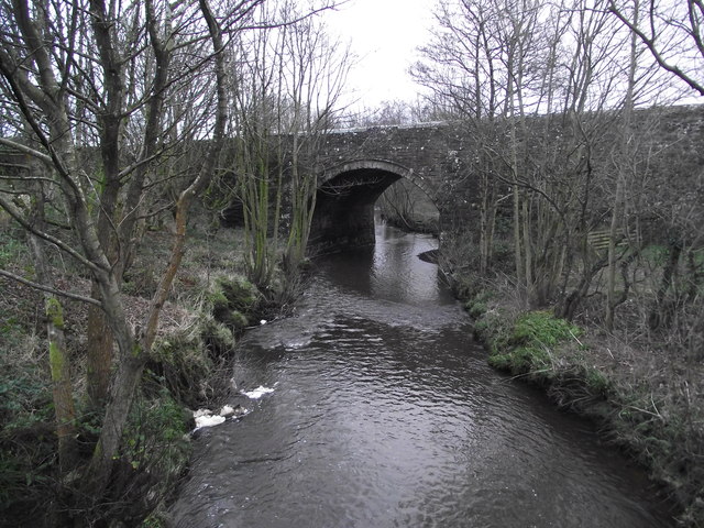
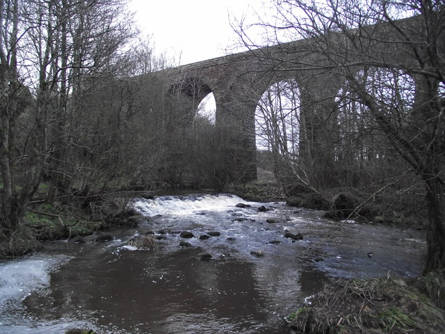
Keekle Viaduct

Keekle Viaduct is a former railway viaduct near Keekle, Cumbria, England. == Context == The viaduct is a substantial structure which carried the double...

Keekle

Keekle is a hamlet in Cumbria, England. It is located just to the northeast of Goose Butts (which is approximately 22 km (14 mi) from Cockermouth) along...

Nearby Amenities

Located within 500m of 54.542069,-3.5186909
Weddicar Hall
Historic: ruins
Historic Civilization: modern
Ruins: manor
Lat/Long: 54.541225/-3.5251676
Power: pole
Lat/Long: 54.5406452/-3.5117689
Power: pole
Lat/Long: 54.5408627/-3.5133047
Power: pole
Lat/Long: 54.5406665/-3.5145897
Power: pole
Lat/Long: 54.5400861/-3.5184915
Power: pole
Lat/Long: 54.5402748/-3.5172203
Power: pole
Lat/Long: 54.5398893/-3.5197847
Power: pole
Lat/Long: 54.54055/-3.5210545
Jobbygill Wood
Place: locality
Lat/Long: 54.5429125/-3.5125666
Power: pole
Lat/Long: 54.540486/-3.5158857
Power: pole
Lat/Long: 54.5420803/-3.5129791
Power: pole
Lat/Long: 54.5427125/-3.512813
Power: pole
Lat/Long: 54.5439463/-3.5125618
Power: pole
Lat/Long: 54.5445409/-3.5133802
Power: pole
Lat/Long: 54.5451219/-3.5141793
Power: pole
Lat/Long: 54.545703/-3.5149784
Power: pole
Lat/Long: 54.5459297/-3.5165179
Power: pole
Lat/Long: 54.5461471/-3.5180068
Power: pole
Lat/Long: 54.537744/-3.5165929
Power: pole
Lat/Long: 54.5386348/-3.5171945
Power: pole
Lat/Long: 54.5389145/-3.5181607
The data included in this document is from www.openstreetmap.org. The data is made available under ODbL.

Have you been to Frizington Hall Wood?

Leave your review of Frizington Hall Wood below (or comments, questions and feedback).