Lowermead Copse
Wood, Forest in Somerset Somerset West and Taunton
England
Lowermead Copse

Lowermead Copse is a charming woodland located in Somerset, England. Situated near the village of Lowermead, this copse covers an area of approximately 50 acres. It is a popular destination for nature enthusiasts and visitors looking to escape the hustle and bustle of city life.
The copse is predominantly made up of a mix of broadleaf trees, including oak, ash, and beech. The dense canopy formed by these trees provides a tranquil and shady environment, perfect for long walks and picnics on hot summer days. The forest floor is covered in a thick layer of leaf litter, creating a soft carpet underfoot.
The copse is home to a diverse range of wildlife, including various species of birds, mammals, and insects. Birdwatchers will be delighted to spot common woodland birds such as blue tits, great tits, and robins, as well as the occasional glimpse of a woodpecker or owl. Squirrels can often be seen darting through the trees, while foxes and deer are occasionally spotted on quieter days.
Lowermead Copse is crisscrossed by a network of well-maintained footpaths, allowing visitors to explore the woodland at their leisure. These paths meander through the trees, offering glimpses of sunlight filtering through the canopy and providing ample opportunities for photography or simply soaking in the natural beauty.
Overall, Lowermead Copse offers a serene and enchanting woodland experience. Whether you are a nature lover, a photographer, or simply seeking a peaceful retreat, this copse in Somerset is well worth a visit.
If you have any feedback on the listing, please let us know in the comments section below.
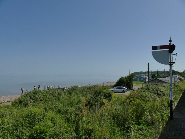
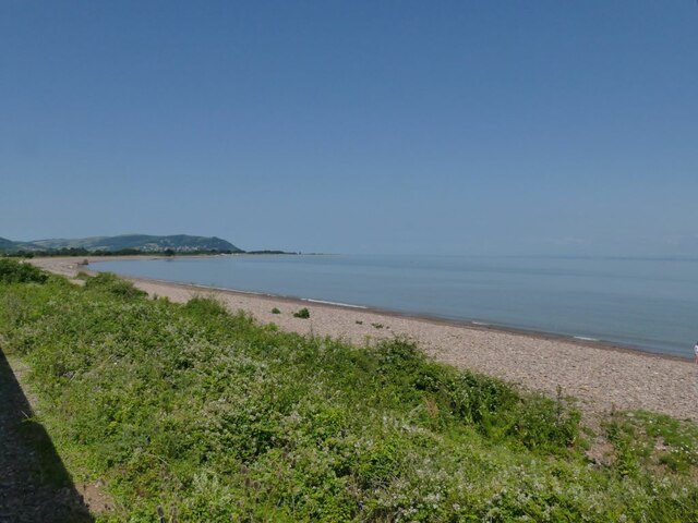
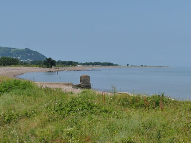
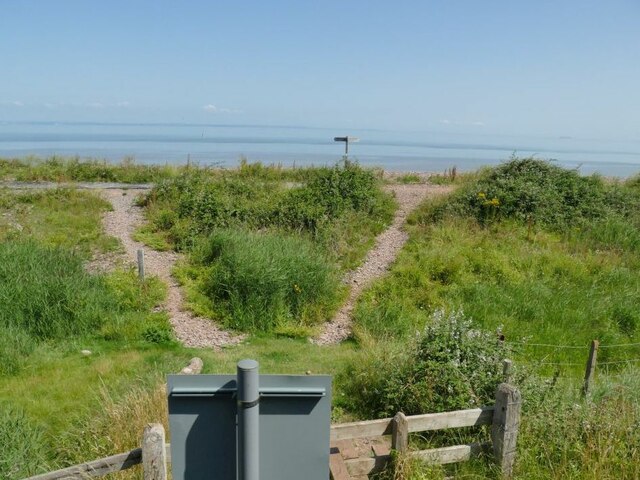
Lowermead Copse Images
Images are sourced within 2km of 51.181101/-3.4135806 or Grid Reference ST0143. Thanks to Geograph Open Source API. All images are credited.


Lowermead Copse is located at Grid Ref: ST0143 (Lat: 51.181101, Lng: -3.4135806)
Administrative County: Somerset
District: Somerset West and Taunton
Police Authority: Avon and Somerset
What 3 Words
///slab.solutions.spurted. Near Minehead, Somerset
Nearby Locations
Related Wikis

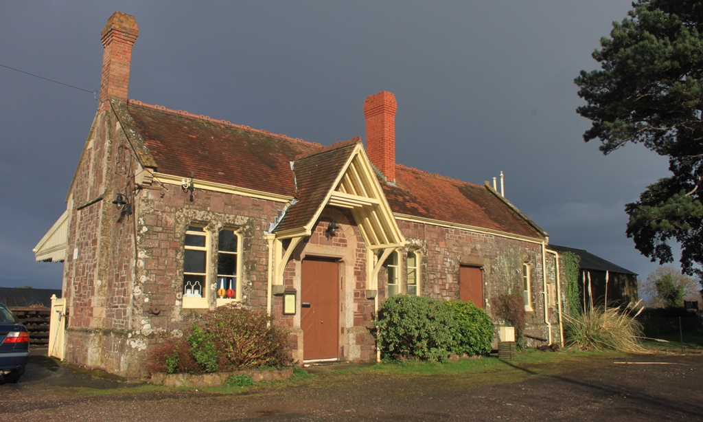
Blue Anchor railway station
Blue Anchor railway station is situated in the seaside village of Blue Anchor, Somerset, England, close to the larger village of Carhampton. It is on the...
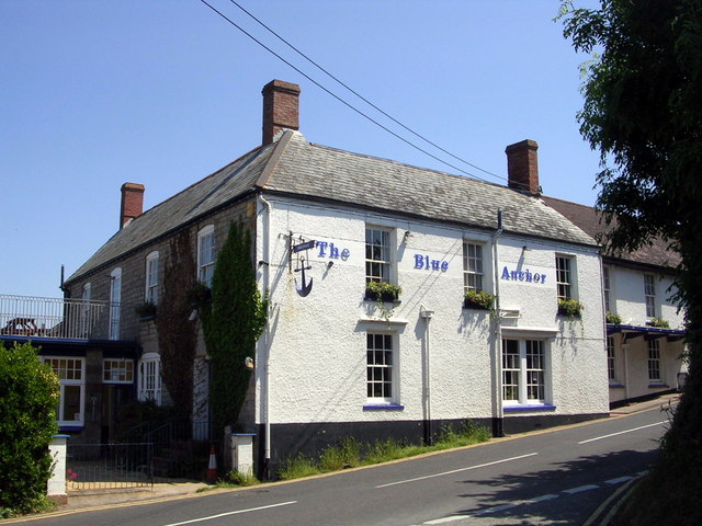
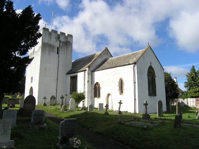
Blue Anchor
Blue Anchor is a seaside village, in the parish of Old Cleeve, close to Carhampton in the Somerset West and Taunton district of Somerset, England. The...
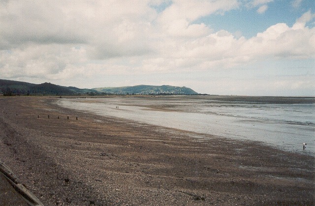
Blue Anchor to Lilstock Coast SSSI
Blue Anchor to Lilstock Coast SSSI (grid reference ST033435 to grid reference ST195462) is a 742.8 hectare geological Site of Special Scientific Interest...

River Avill
The River Avill is a small river on Exmoor in Somerset, England. It rises on the eastern slopes of Dunkery Beacon and flows north through Timberscombe...

Carhampton
Carhampton is a village and civil parish in Somerset, England, 4 miles (6.4 km) to the east of Minehead. Carhampton civil parish stretches from the Bristol...
Withycombe
Withycombe is a village, civil parish, and former manor 2.5 miles (4 km) south east of Dunster, and 5 miles (8 km) from Minehead within the Exmoor National...
Dunster railway station
Dunster railway station is near Dunster, Somerset, England and is on the West Somerset Railway, a heritage railway. == History == The station was opened...

Yarn Market, Dunster
The Yarn Market in Dunster, Somerset, England was built in the early 17th century. It has been designated as a Grade I listed building and scheduled monument...
Nearby Amenities
Located within 500m of 51.181101,-3.4135806Have you been to Lowermead Copse?
Leave your review of Lowermead Copse below (or comments, questions and feedback).