Bittescombe Wood

Wood, Forest in Somerset Somerset West and Taunton

England

Bittescombe Wood

On Post Lane, heading south
On Post Lane, heading south Credit: Rob Purvis

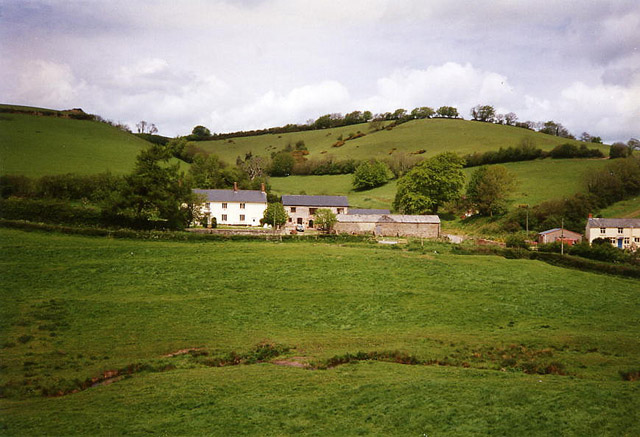
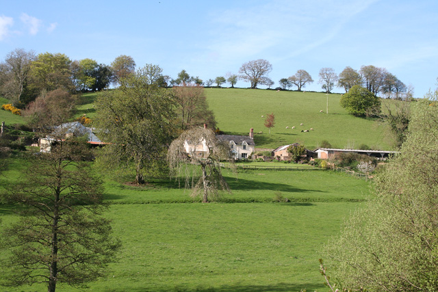
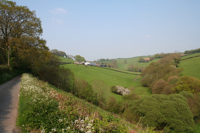
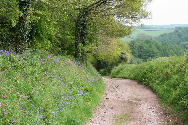
Bittescombe Wood is a charming woodland located in Somerset, England. Spread across an area of approximately 50 acres, this forested area is renowned for its natural beauty and diverse ecosystem. The wood is situated near the village of Bittescombe, adding to its appeal as a tranquil escape from the bustling city life.

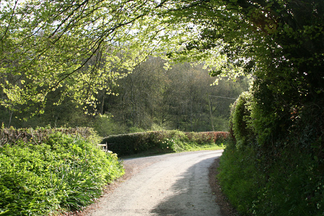
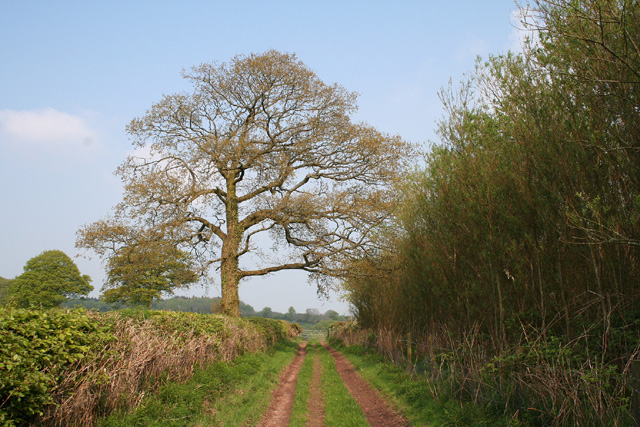
The wood is primarily composed of deciduous trees, such as oak, beech, and ash, which create a dense canopy that filters the sunlight, casting enchanting shadows on the forest floor. This canopy provides an ideal habitat for a wide range of wildlife, including birds, squirrels, and deer. Nature enthusiasts can often spot various bird species, such as woodpeckers and owls, among the trees.

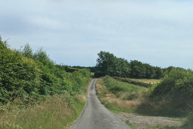
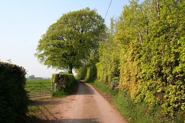
The woodland is crisscrossed by a network of walking trails, allowing visitors to explore its beauty at their own pace. These paths wind through the wood, passing by small streams and ponds that further enhance the serene atmosphere. The wood is also home to a variety of wildflowers and plants, adding bursts of vibrant colors to the landscape during the spring and summer months.

Bittescombe Wood is a popular destination for outdoor activities, including picnicking, wildlife photography, and nature walks. It offers a peaceful retreat for those seeking solace in nature, and its accessibility makes it a favorite spot for both locals and tourists alike.

If you have any feedback on the listing, please let us know in the comments section below.

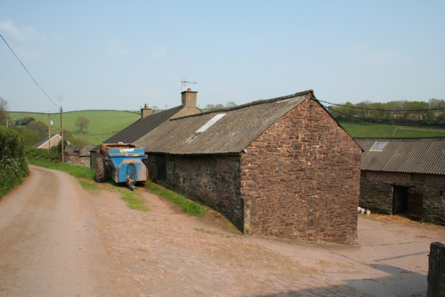
Bittescombe Wood Images

Images are sourced within 2km of 51.038067/-3.415598 or Grid Reference ST0027. Thanks to Geograph Open Source API. All images are credited.

On Post Lane, heading south
Hone Cross lane junction, looking south
Chipstable: Kingston Farm and Mill Two spring-fed ponds each provided a mere 20 minutes operation for the 19th century waterwheel at the mill, now a private residence. The mill was purely for the use of the farm: it was not a manor or parish flour mill
Chipstable: Kingston Farm and Mill
Two spring-fed ponds each provided a mere 20 minutes operation for the 19th century waterwheel at the mill, now a private residence. The mill was purely for the use of the farm: it was not a manor or parish flour mill
Upton: Lowtrow Cross Inn An inn locally recognised for its food, it stands by the crossroads it’s named after. Looking north
Upton: Lowtrow Cross Inn
An inn locally recognised for its food, it stands by the crossroads it’s named after. Looking north
Upton: Leeford Farm There was no doubt a ford here in earlier times and it is now in culvert. Two bridleways converge on the newly tarmaced lane by the farm. Looking south
Upton: Leeford Farm
There was no doubt a ford here in earlier times and it is now in culvert. Two bridleways converge on the newly tarmaced lane by the farm. Looking south
Upton: by Lotley Farm Looking south near the entrance to Lotley Farm
Upton: by Lotley Farm
Looking south near the entrance to Lotley Farm
Chipstable: Washers Farm Looking north-north-east. The farm faces south in an east-west valley; below it a stream runs westwards from Raddington to join the Batherm near Batherm Bridge
Chipstable: Washers Farm
Looking north-north-east. The farm faces south in an east-west valley; below it a stream runs westwards from Raddington to join the Batherm near Batherm Bridge
Upton: by the entrance to Ranscombe Farm Looking north west on the lane from Blackwell to Skilgate
Upton: by the entrance to Ranscombe Farm
Looking north west on the lane from Blackwell to Skilgate
Skilgate: near Bittescombe Hill Farm Looking north east on the lane from Blackwell
Skilgate: near Bittescombe Hill Farm
Looking north east on the lane from Blackwell
Skilgate: Bittescombe Hill Farm Farm buildings by the lane from Blackwell to Heydon Hill. Looking east
Skilgate: Bittescombe Hill Farm
Farm buildings by the lane from Blackwell to Heydon Hill. Looking east
Skilgate: lane with beech tree and hedge Looking north-north-east
Skilgate: lane with beech tree and hedge
Looking north-north-east
Chipstable: Hynicombe Lane A public bridleway between Heydon Farm and Old Way at Heydon Hill
Chipstable: Hynicombe Lane
A public bridleway between Heydon Farm and Old Way at Heydon Hill
Skilgate: the road from Lowtrow Cross Looking south-south-west
Skilgate: the road from Lowtrow Cross
Looking south-south-west
Skilgate: bridleway from Haddon End Looking east-north-east. The track leads to Dulverton Lane and Heydon Hill
Skilgate: bridleway from Haddon End
Looking east-north-east. The track leads to Dulverton Lane and Heydon Hill
Sheep beneath an oak, Heydon Farm It's not sunny, but these sheep are clustering around the foot of a large tree, the first in a line that shows where a field boundary went. Beyond is the head of the valley of a small tributary of the Batherm. View from Hill Lane.
Sheep beneath an oak, Heydon Farm
It's not sunny, but these sheep are clustering around the foot of a large tree, the first in a line that shows where a field boundary went. Beyond is the head of the valley of a small tributary of the Batherm. View from Hill Lane.
Mown grass field, Hill Lane A field of mown grass southwest of <a href="https://www.geograph.org.uk/photo/1957843">ST0227 : Sheep beneath an oak, Heydon Farm</a>, and on the slopes of the same valley.
Mown grass field, Hill Lane
A field of mown grass southwest of ST0227 : Sheep beneath an oak, Heydon Farm, and on the slopes of the same valley.
St Michael's church, Raddington Isolated from lanes, the C13 church <span class="nowrap"><a title="http://webapp1.somerset.gov.uk/her/details.asp?prn=41129" rel="nofollow ugc noopener" href="http://webapp1.somerset.gov.uk/her/details.asp?prn=41129">Link</a><img style="margin-left:2px;" alt="External link" title="External link - shift click to open in new window" src="https://s1.geograph.org.uk/img/external.png" width="10" height="10"/></span> sits on the lower slopes of a deep valley, Raddington Bottom. Seen from a gateway on Hill Lane.
St Michael's church, Raddington
Isolated from lanes, the C13 church LinkExternal link sits on the lower slopes of a deep valley, Raddington Bottom. Seen from a gateway on Hill Lane.
Gate with a view, Hill Lane The gate from which <a href="https://www.geograph.org.uk/photo/1957956">ST0226 : St Michael's church, Raddington</a>, visible on the left, was taken. Hill Lane  continues into <a href="https://www.geograph.org.uk/gridref/ST0126">ST0126</a> on the right, but after various twists and turns, during which it becomes Churchill Lane, keeps left of the church.
Gate with a view, Hill Lane
The gate from which ST0226 : St Michael's church, Raddington, visible on the left, was taken. Hill Lane continues into ST0126 on the right, but after various twists and turns, during which it becomes Churchill Lane, keeps left of the church.
Show me another place!

Bittescombe Wood is located at Grid Ref: ST0027 (Lat: 51.038067, Lng: -3.415598)

Administrative County: Somerset

District: Somerset West and Taunton

Police Authority: Avon and Somerset

What 3 Words

///assets.health.shaped. Near Wiveliscombe, Somerset

Related Wikis

Upton, Somerset

Upton is a village and civil parish north of Skilgate in Somerset, England. It is situated on a hill above the eastern end of Wimbleball Lake. == History... ==

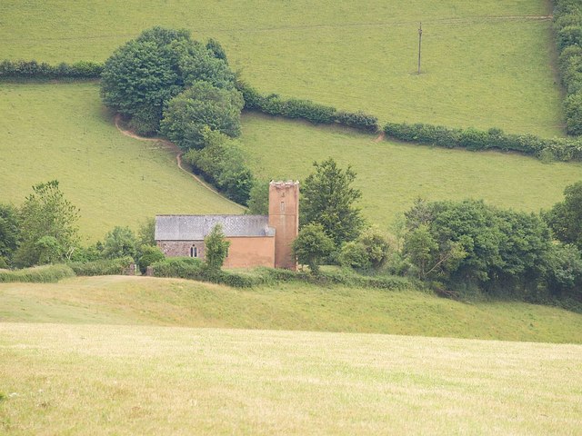
Church of St John, Skilgate

The Anglican Church of St John in Skilgate, Somerset, England was built in the 14th century. It is a Grade II* listed building. == History == The church...

Skilgate

Skilgate is a village and civil parish 5 miles (8 km) east of Dulverton and 8 miles (13 km) west of Wiveliscombe in the Somerset West and Taunton district...

Petton, Devon

Petton, also known as Petton Cross, is an English village in the civil parish of Bampton, the district of Mid Devon, and the county of Devon. It lies on...

Church of All Saints, Chipstable

The Church of All Saints is an Anglican church in Chipstable, Somerset, England which probably dates from the early 13th century. It is located in the...

Chipstable

Chipstable is a village and civil parish in Somerset, England, situated beside Heydon Hill 10 miles (16.1 km) west of Taunton. The parish has a population...

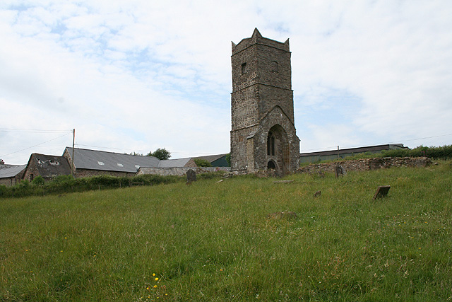
Old Church of St James, Upton

The Old St James's Church is a former church in the village of Upton, Somerset, England, of which only the tower remains, overlooking Wimbleball Lake....

Huish Champflower

Huish Champflower is a village and civil parish in Somerset, England, three miles north-west of Wiveliscombe and ten miles north of Wellington. It has...

Have you been to Bittescombe Wood?

Leave your review of Bittescombe Wood below (or comments, questions and feedback).